Linn County is a county located in the U.S. state of Iowa. As of the 2020 census, the population was 230,299, making it the second-most populous county in Iowa. The county seat is Cedar Rapids. Linn County is named in honor of Senator Lewis F. Linn of Missouri. Linn County is included in the Cedar Rapids, IA Metropolitan Statistical Area.
| Name: | Linn County |
|---|---|
| FIPS code: | 19-113 |
| State: | Iowa |
| Founded: | 1839 |
| Named for: | Lewis Linn |
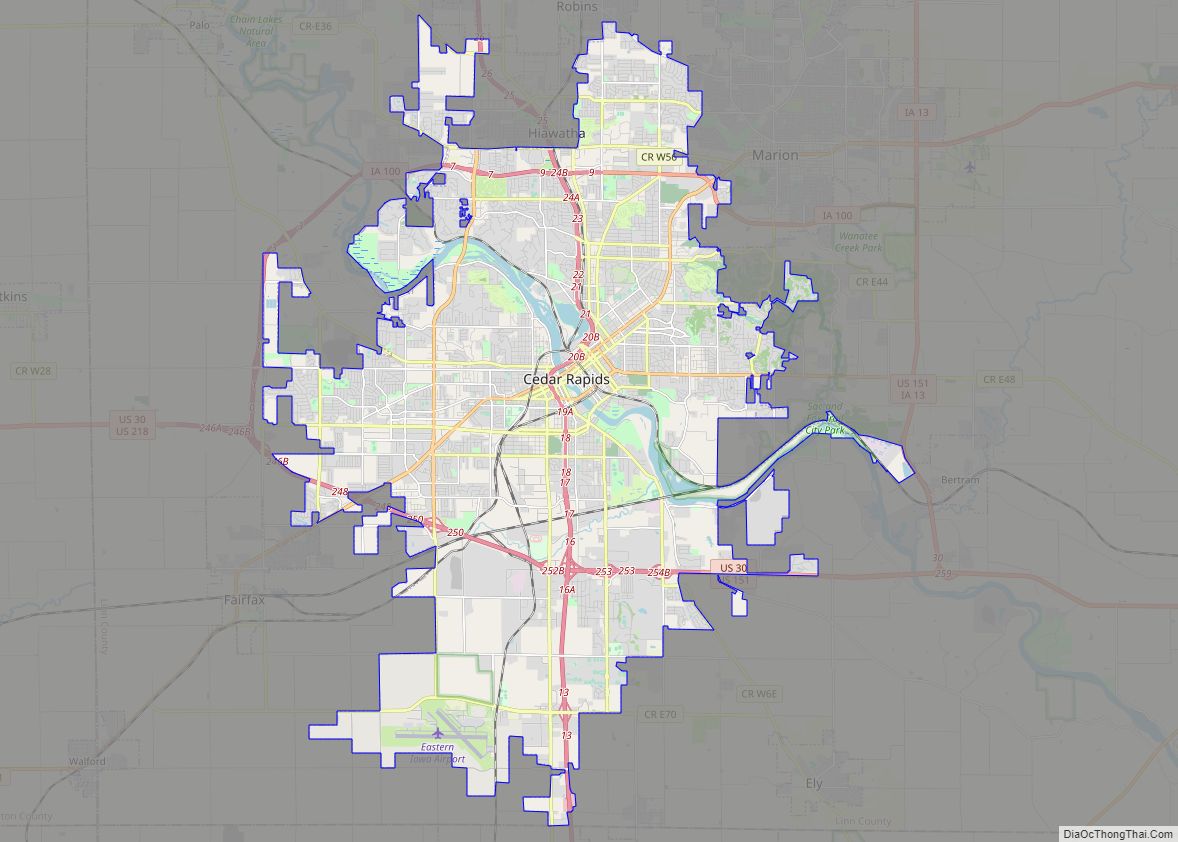
| Seat: | Cedar Rapids |
| Largest city: | Cedar Rapids |
| Total Area: | 725 sq mi (1,880 km²) |
| Land Area: | 717 sq mi (1,860 km²) |
| Total Population: | 230,299 |
| Population Density: | 320/sq mi (120/km²) |
| Time zone: | UTC−6 (Central) |
| Summer Time Zone (DST): | UTC−5 (CDT) |
| Website: | www.linncountyiowa.gov |
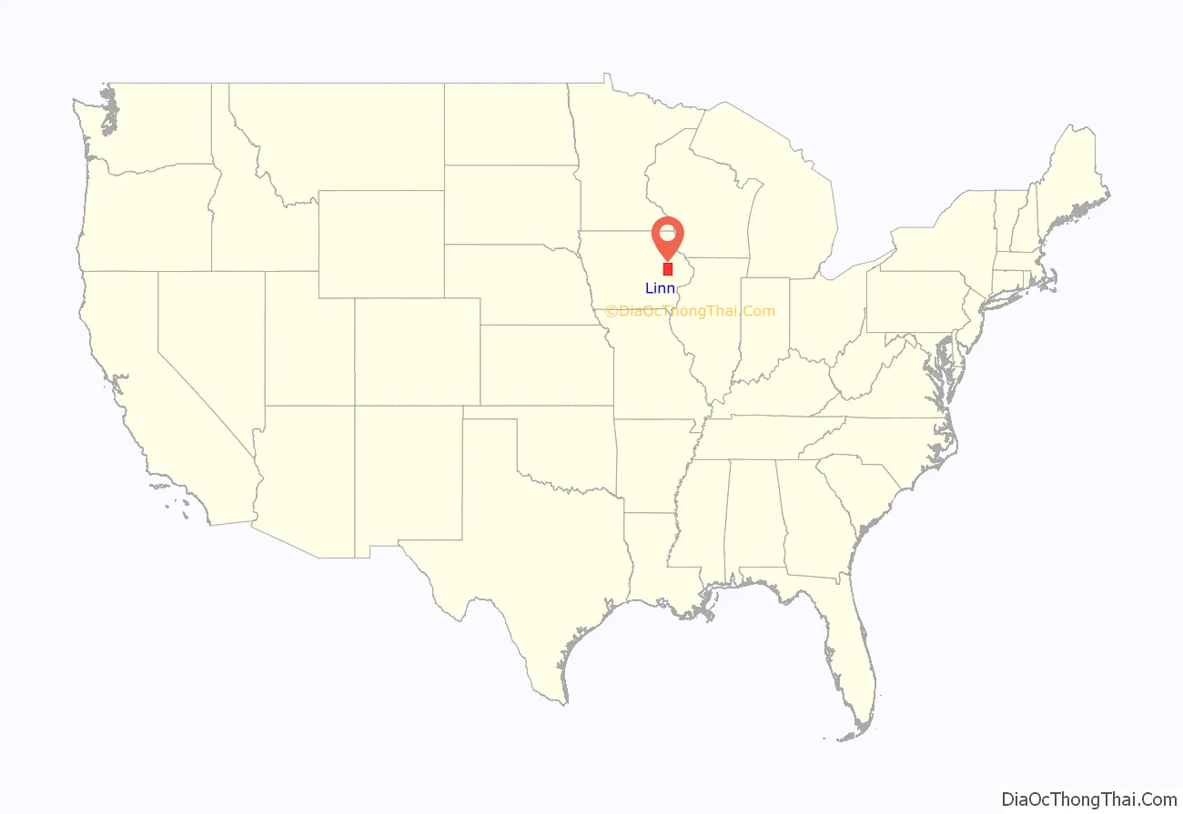
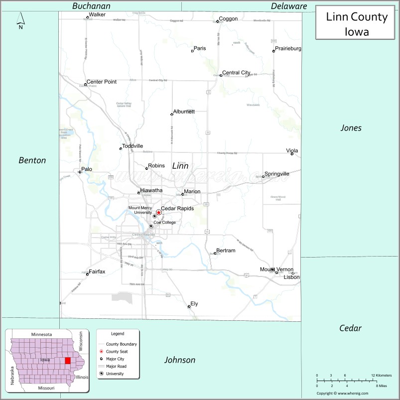
Linn County location map. Where is Linn County?
History
The earliest inhabitants of Linn County, prior to Anglo settlement, were the Sac and Fox tribes. Relations were described by 20th century historians as amicable. Native Americans provided food and furs to whites in exchange for merchandise.
Linn County was created as a named but unorganized area on December 21, 1837, as a part of Wisconsin Territory. It became part of Iowa Territory on July 4, 1838, when the territory was organized. Linn County was organized by the first legislative assembly of the Iowa Territory on January 15, 1839. A site was selected for its first county seat along Indian Creek, and was named Marion, after the Revolutionary War general Francis Marion. As early as 1855, there were debates over moving the county seat to the fast-growing Cedar Rapids, southwest of Marion, but it was not until November 6, 1919, that there were enough votes in favor of the move (9,960 to 4,823). The first rail line was built through Cedar Rapids in 1859, and made the town (and the county) a major commercial hub in eastern Iowa.
Many areas of the county were damaged by the flooding of Cedar River in June 2008, and again during the August 2020 Midwest derecho.
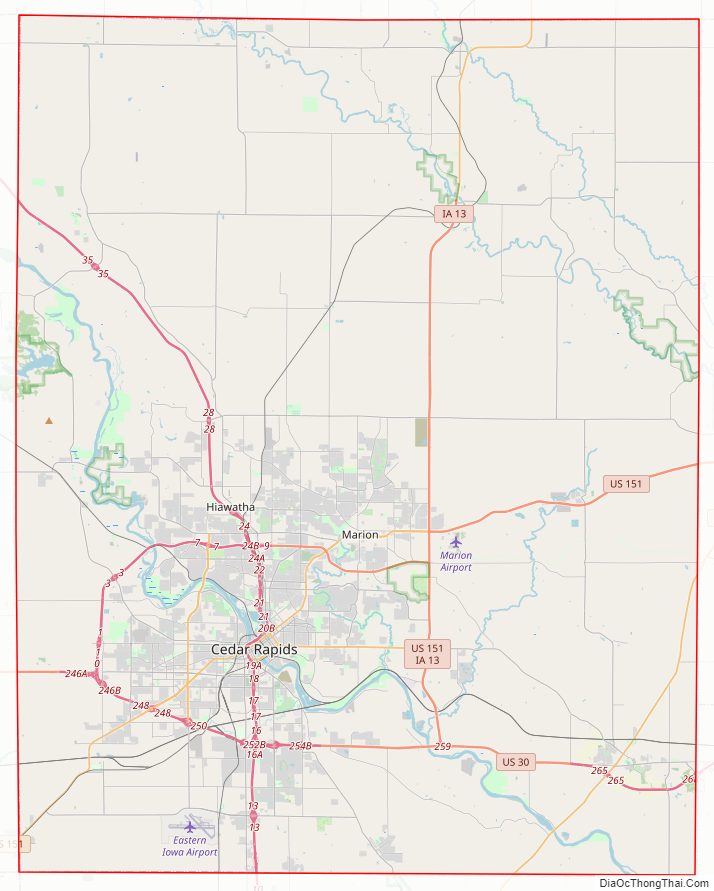
Linn County Road Map
Geography
According to the U.S. Census Bureau, the county has a total area of 725 square miles (1,880 km), of which 717 square miles (1,860 km) is land and 7.6 square miles (20 km) (1.1%) is water.
Major highways
- Interstate 380
- Iowa Highway 27
- U.S. Highway 30
- U.S. Highway 151
- U.S. Highway 218
- Iowa Highway 1
- Iowa Highway 13
Transit
- Cedar Rapids Transit
- List of intercity bus stops in Iowa
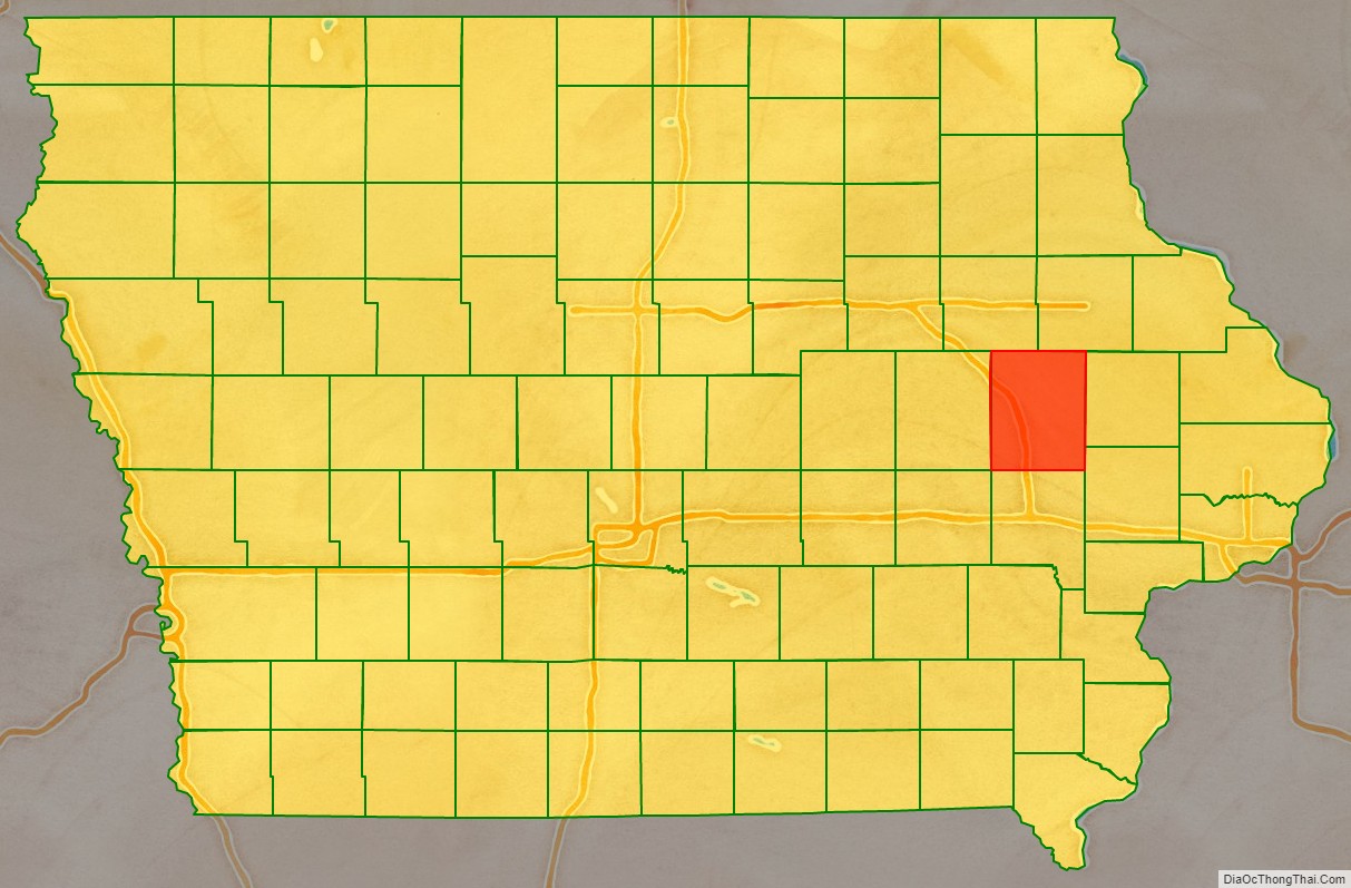
Adjacent counties
- Benton County (west)
- Buchanan County (northwest)
- Cedar County (southeast)
- Delaware County (northeast)
- Iowa County (southwest)
- Johnson County (south)
- Jones County (east)
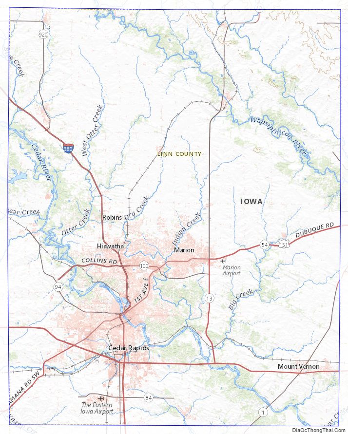
Linn County Topographic Map
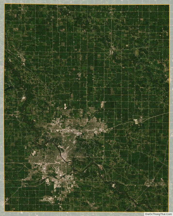
Linn County Satellite Map
Linn County Outline Map