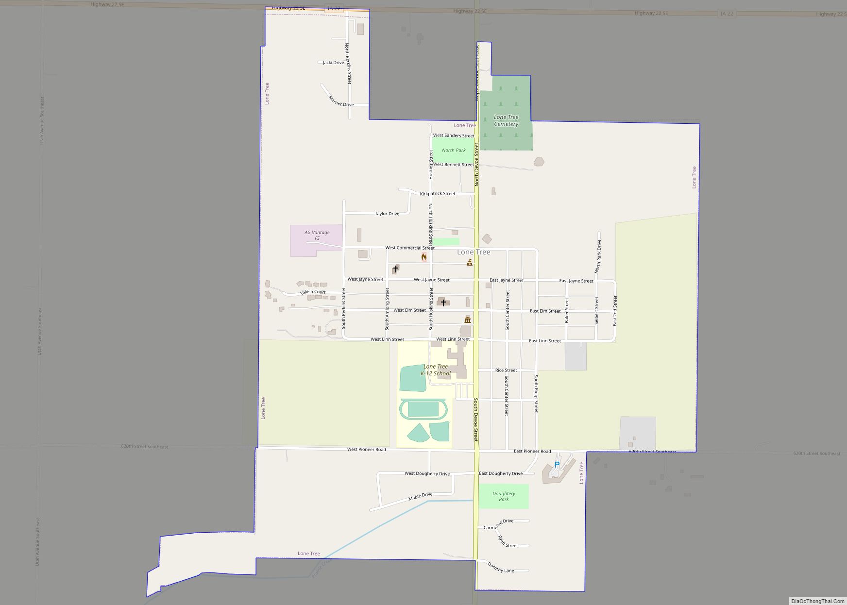
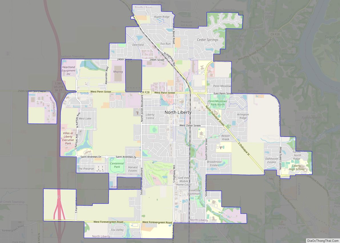
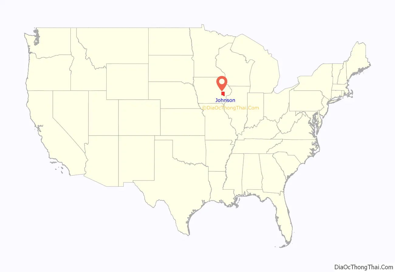
Johnson County is located in the U.S. state of Iowa. As of the 2020 census, the population was 152,854, making it the fourth-most populous county in Iowa. The county seat is Iowa City, home of the University of Iowa. Johnson County is included in the Iowa City metropolitan area, which is also included in the Cedar Rapids-Iowa City Corridor Combined Statistical Area.
| Name: | Johnson County |
|---|---|
| FIPS code: | 19-103 |
| State: | Iowa |
| Founded: | December 21, 1837 |
| Named for: | Richard Mentor Johnson (1837–2020) Lulu Johnson (since 2020) |
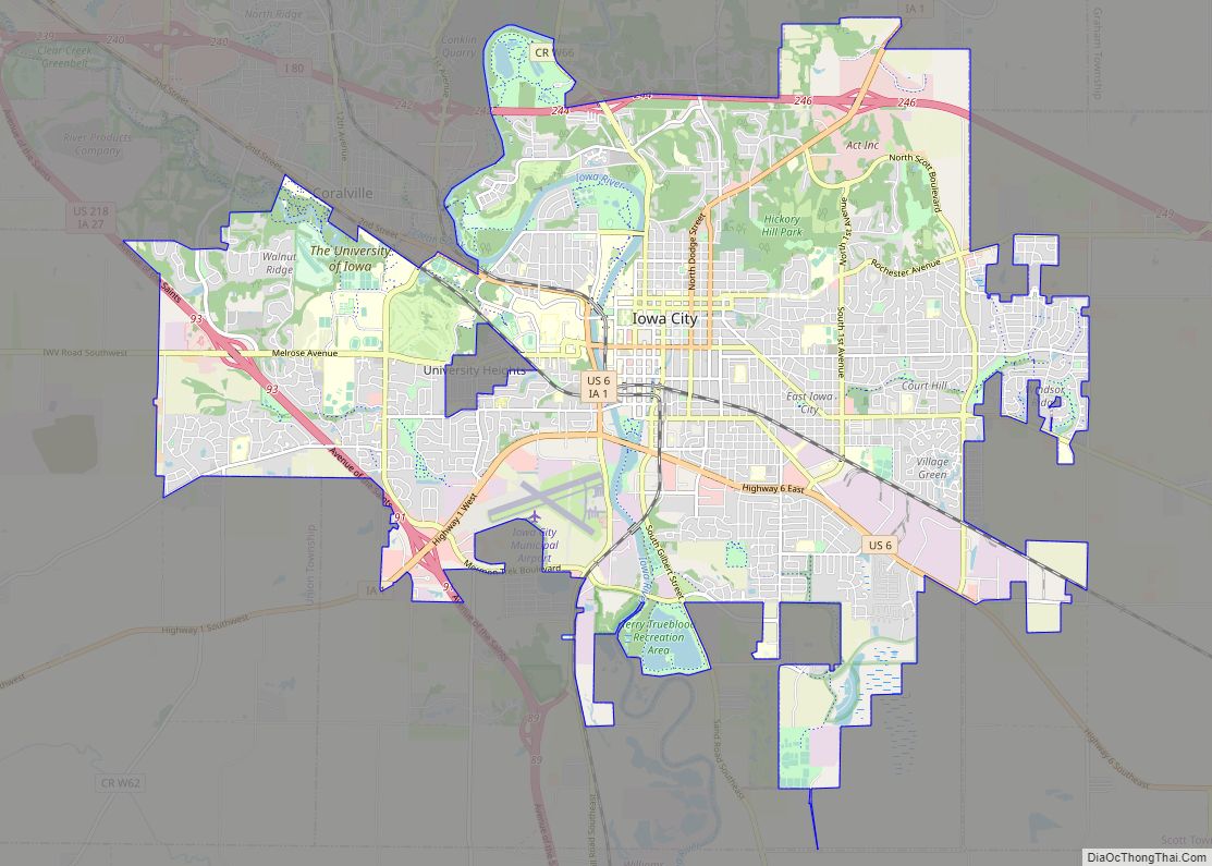
| Seat: | Iowa City |
| Largest city: | Iowa City |
| Total Area: | 623 sq mi (1,610 km²) |
| Land Area: | 614 sq mi (1,590 km²) |
| Total Population: | 152,854 |
| Population Density: | 250/sq mi (100/km²) |
| Time zone: | UTC−6 (Central) |
| Summer Time Zone (DST): | UTC−5 (CDT) |
| Website: | www.johnsoncountyiowa.gov |
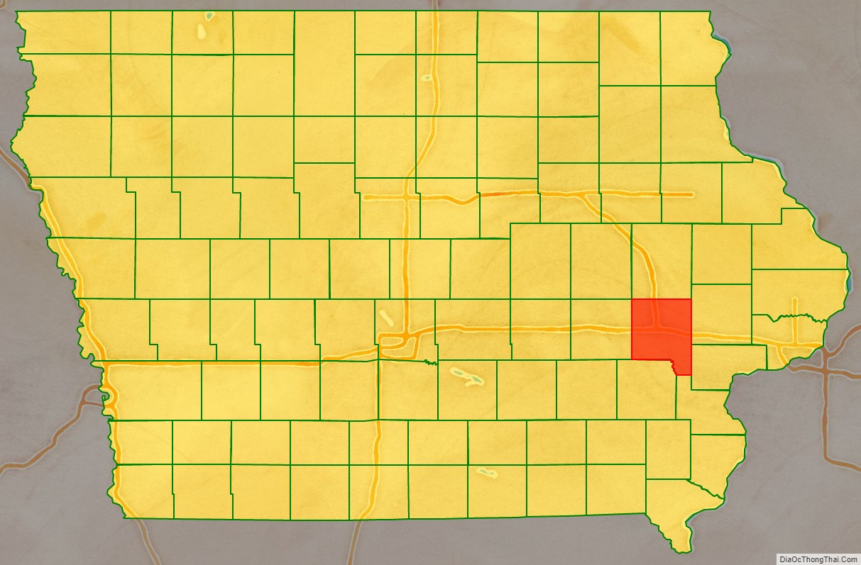
Johnson County location map. Where is Johnson County?
History
Johnson County was established in December 1837 by the legislature of the Wisconsin Territory, one of thirteen counties established by that body in a comprehensive act. The county’s area was partitioned from Dubuque County, and was not initially provided with a civil government, instead being governed by Cedar County officials. It was originally named for the US Vice President Richard M. Johnson. In 2020, the Johnson County Board of Supervisors voted unanimously to change the county’s namesake to be Lulu Merle Johnson, the first black woman in the state to get her doctorate.
The first courthouse in the county was a two-story log cabin structure, built in 1838 in the settlement of Napoleon, about two miles south of the current courthouse. The building stood across from what later would become the James McCollister Farmstead on land later owned by Philip Clark.
After Iowa City was established by fiat as the new territorial capitol of Iowa, the county seat was removed there. The second Johnson County Courthouse, the first in Iowa City, was built on Lot 8 Block 8 of the County Seat Addition to Iowa City in 1842 for $3,690. This location was in the southeast corner of the intersection of Harrison and Clinton Streets. The building was 56 x 28 feet and two stories tall. It was built by James Trimble, who had previously built the first jail.
A third courthouse was built in 1857 in the courthouse square on Clinton Street between Court and Harrison Streets. It was used until 1901, after cracks appeared in its south wall in 1899. The building was apparently built of brick with stone and wood ornamentation.
The Richardsonian Romanesque style courthouse in use today was designed by the firm of Rush, Bowman and Rush of Grand Rapids, Michigan. It was bid at a cost of $111,000 and built by the firm Rowson & Son of Johnson County. The cornerstone was laid in December 1899. The building’s tower was based on Henry Hobson Richardson’s design for the spire of Trinity Church in Boston. The building was dedicated on June 8, 1901. The currently unused jail that stands to the west of the courthouse was designed by C.L. Wundt of Burlington, Iowa on behalf of the Stewart Iron Works in Cleveland and bid for $14,000.
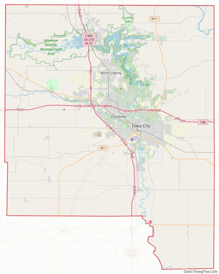
Johnson County Road Map
Geography
According to the U.S. Census Bureau, the county has a total area of 623 square miles (1,610 km), of which 614 square miles (1,590 km) is land and 9.1 square miles (24 km) (1.5%) is water.
Major highways
- Interstate 80
- Interstate 380
- U.S. Highway 6
- U.S. Highway 218
- Iowa Highway 1
- Iowa Highway 22
- Iowa Highway 27
Transit
- Cambus
- Iowa City Transit
- List of intercity bus stops in Iowa
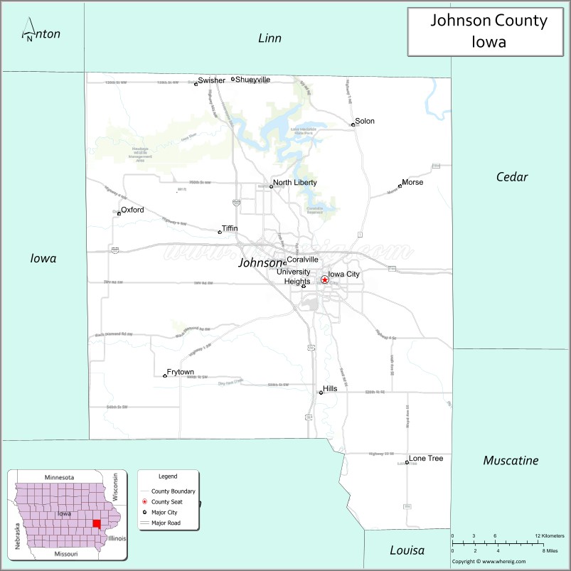
Adjacent counties
- Benton County – northwest
- Cedar County – east
- Iowa County – west
- Linn County – north
- Muscatine County – east and southeast
- Louisa County – southeast and south
- Washington County – south
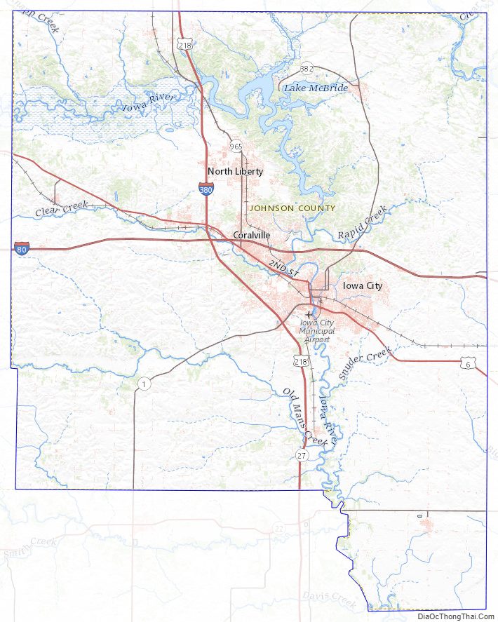
Johnson County Topographic Map
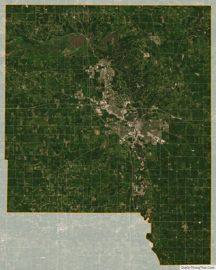
Johnson County Satellite Map
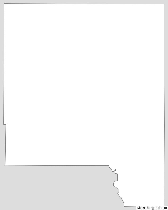
Johnson County Outline Map