Livingston Parish (Louisiana French: La Paroisse Livingston) is a parish in the U.S. state of Louisiana. Its parish seat is the town of Livingston. Livingston Parish is one of the Florida Parishes, a region which, unlike the rest of the state, was part of the Spanish Empire rather than the French Empire.
The name Livingston is an eponym honoring Edward Livingston, an American jurist and statesman who assisted in the drafting of the Louisiana Civil Code of 1825.
Livingston Parish is part of the Baton Rouge metropolitan area. At the 2020 census, the population of the county was 142,282. Livingston Parish is part of Louisiana’s 6th congressional district.
| Name: | Livingston Parish |
|---|---|
| FIPS code: | 22-063 |
| State: | Louisiana |
| Founded: | February 10, 1832 |
| Named for: | Edward Livingston |
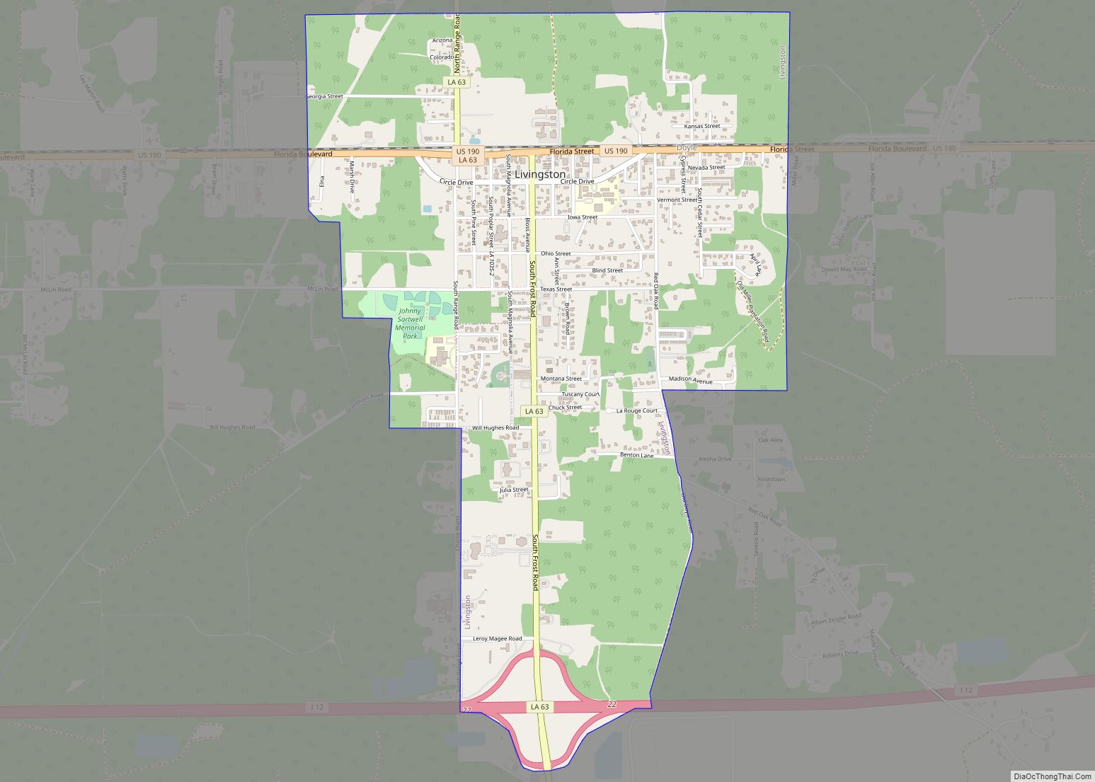
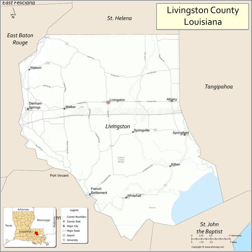
| Seat: | Livingston |
| Largest city: | Denham Springs |
| Total Area: | 703 sq mi (1,820 km²) |
| Land Area: | 648 sq mi (1,680 km²) |
| Total Population: | 142,282 |
| Population Density: | 200/sq mi (78/km²) |
| Time zone: | UTC−6 (Central) |
| Summer Time Zone (DST): | UTC−5 (CDT) |
| Website: | www.livingstonparishla.gov |
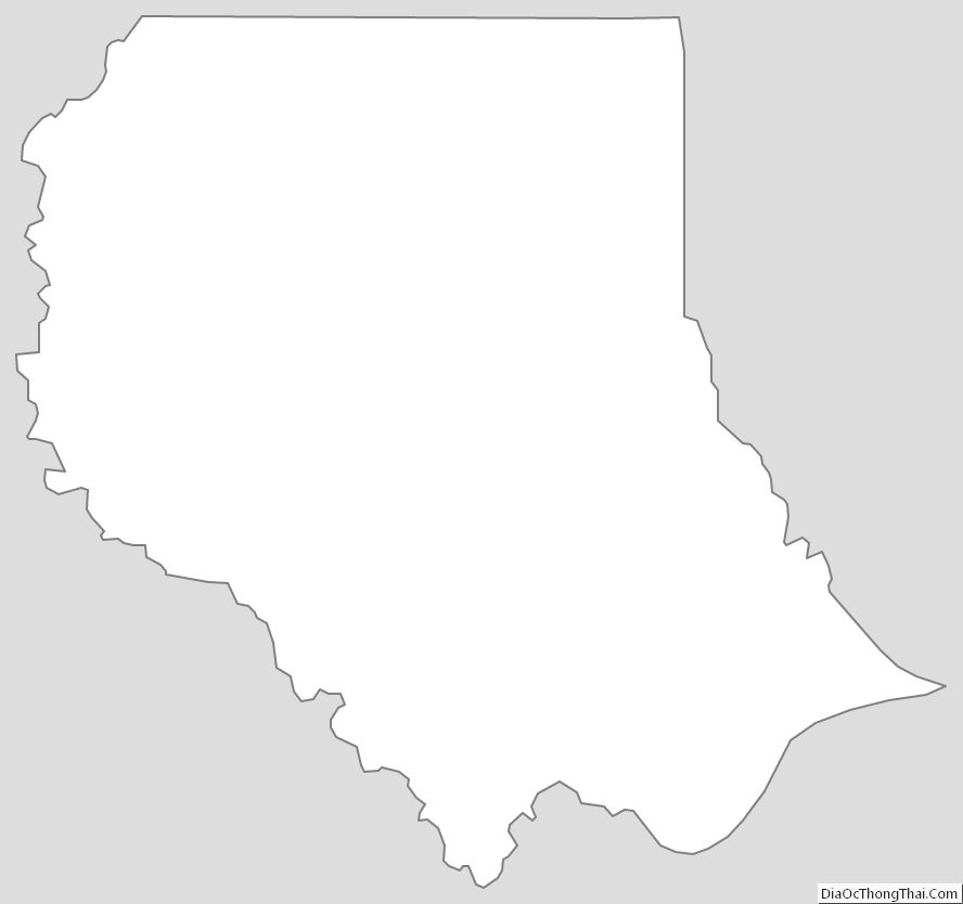
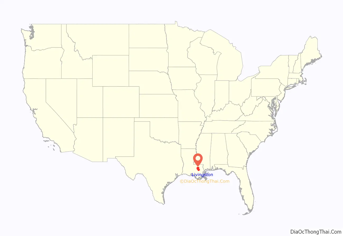
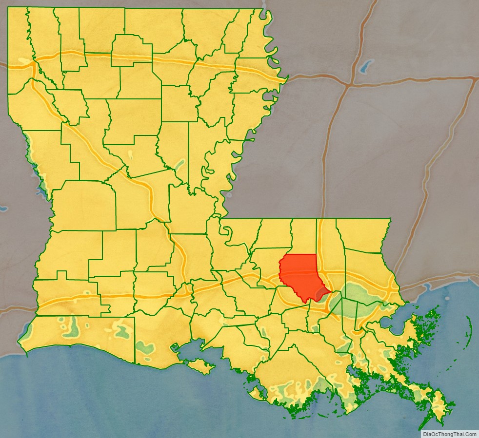
Livingston Parish location map. Where is Livingston Parish?
History
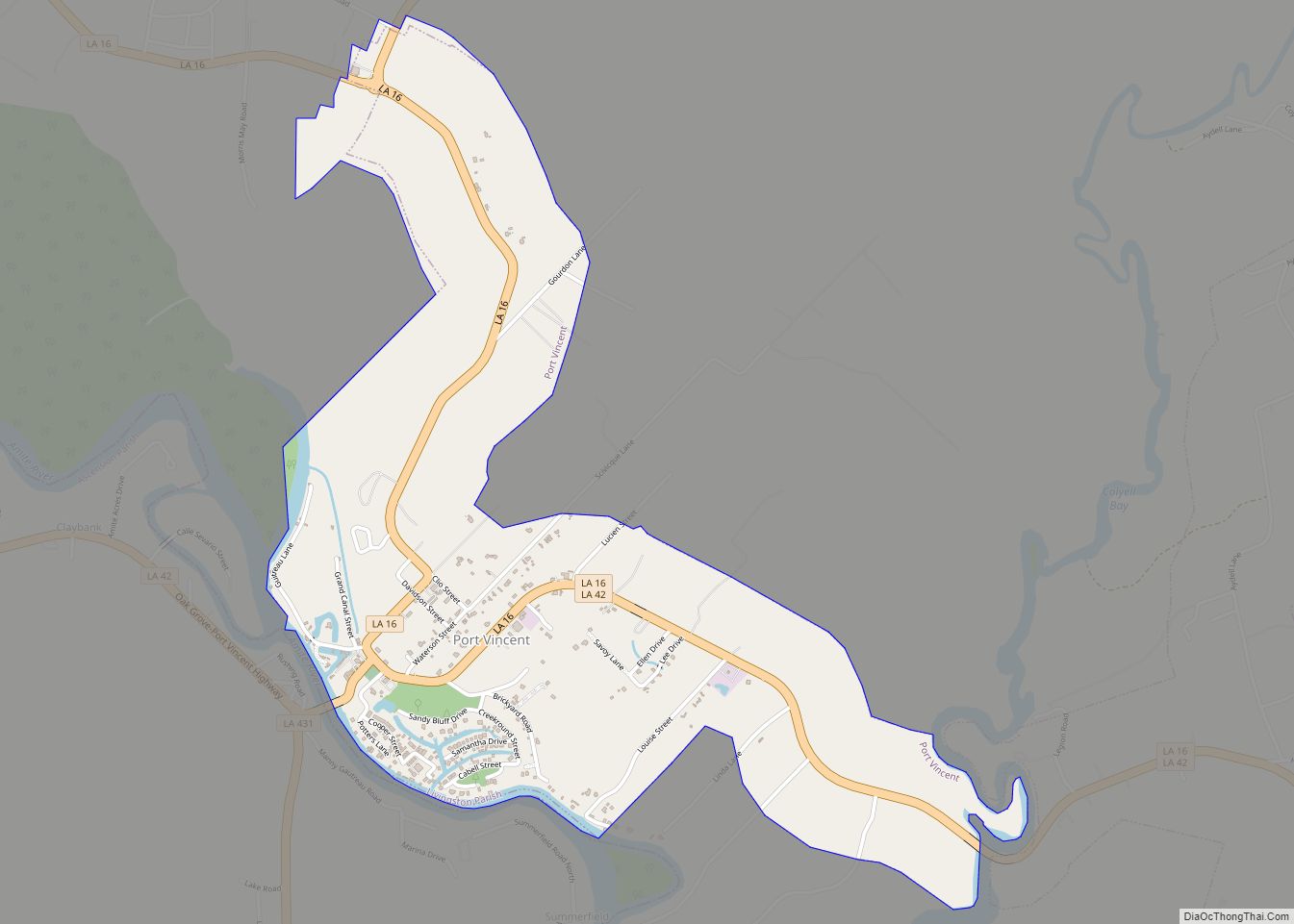
Livingston Parish was created by the state legislature in 1832 from part of St. Helena Parish. The historical parish seats were Van Buren (1832–1835), Springfield (1835–1872), Port Vincent (1872–1881), and Centerville (1881–1941). Livingston became the seat of government in 1941.
During the 2016 Louisiana floods, Livingston Parish was one of the hardest hit areas. An official estimated that 75 percent of the homes in the parish were a total loss.
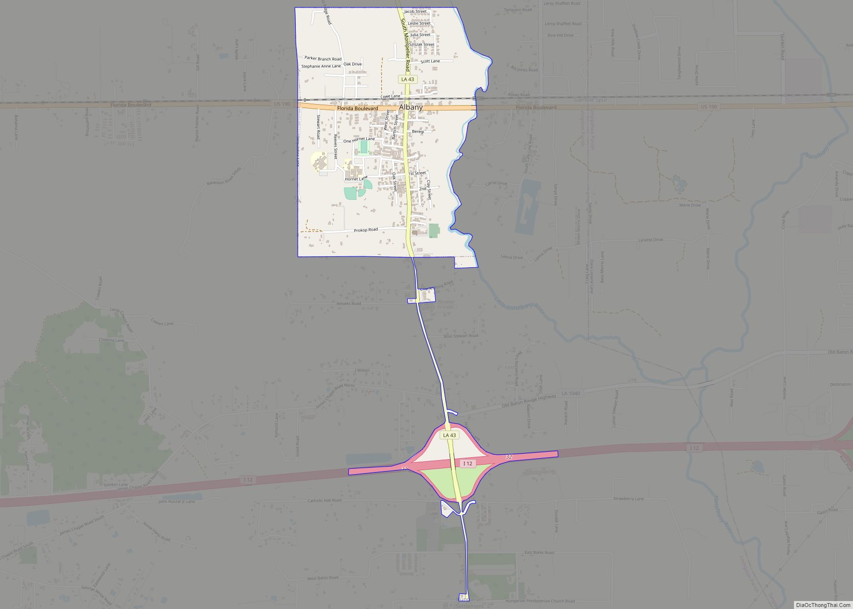
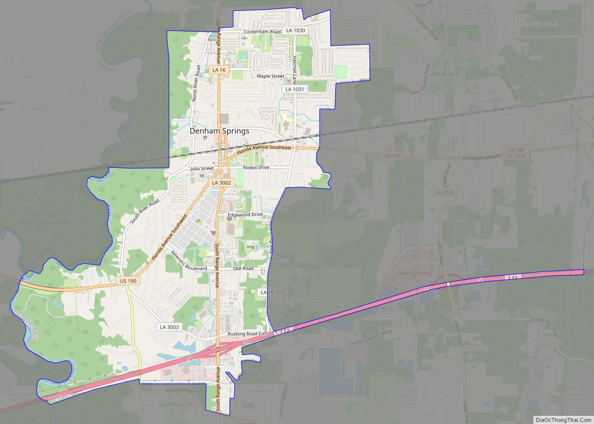
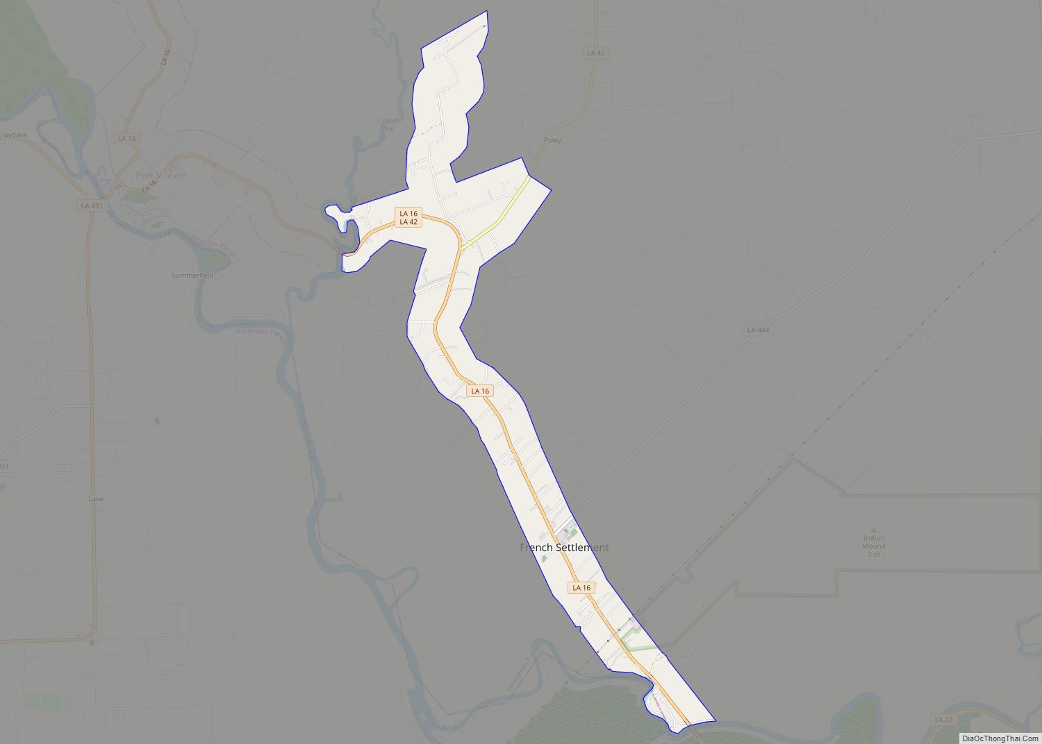
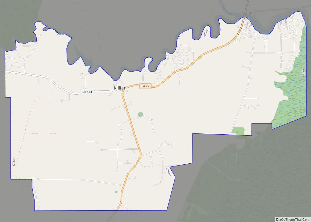
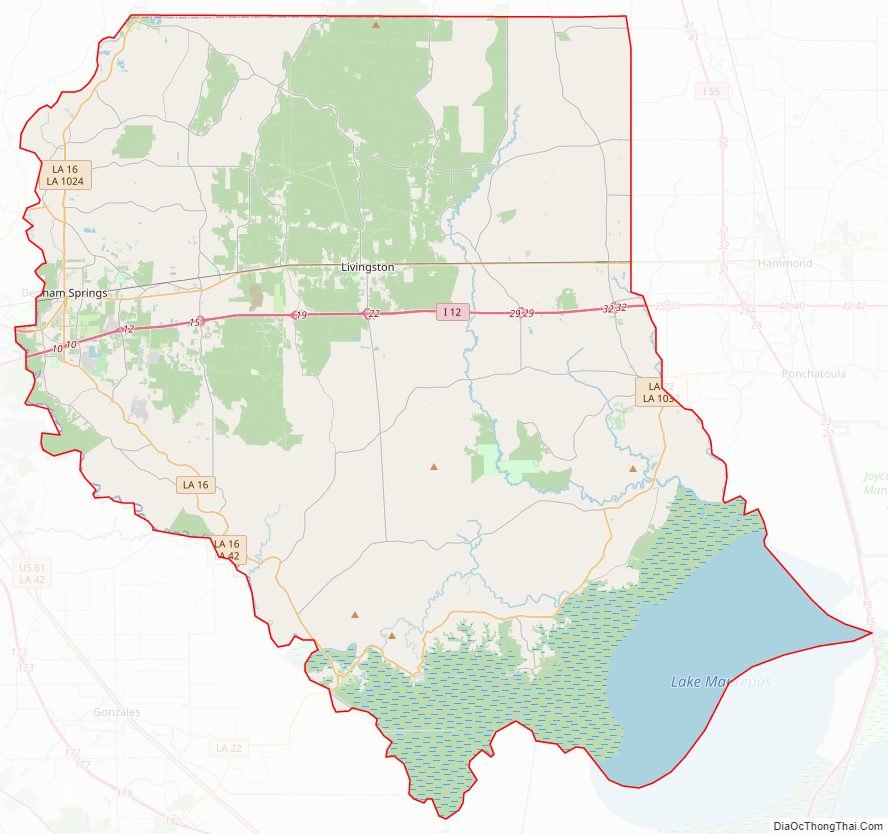
Livingston Parish Road Map
Geography
According to the U.S. Census Bureau, the parish has a total area of 703 square miles (1,820 km), of which 648 square miles (1,680 km) is land and 55 square miles (140 km) (7.8%) is water.
Major highways
- Interstate 12
- Louisiana Highway 16
- Louisiana Highway 22
- Louisiana Highway 40
- Louisiana Highway 42
- Louisiana Highway 43
- Louisiana Highway 63
- U.S. Highway 190
- Louisiana Highway 444
State park
- Tickfaw State Park
Adjacent parishes
- St. Helena Parish (north)
- Tangipahoa Parish (east)
- St. John the Baptist Parish (southeast)
- Ascension Parish (southwest)
- East Baton Rouge Parish (west)
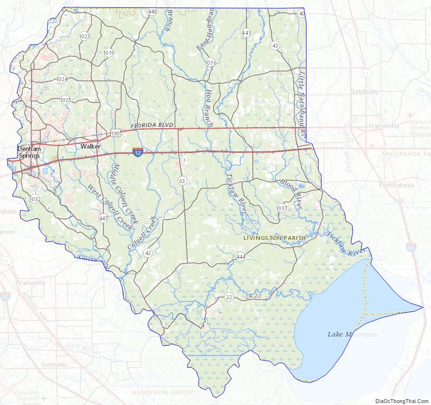
Livingston Parish Topographic Map
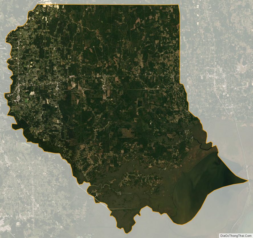
Livingston Parish Satellite Map
Livingston Parish Outline Map