Albany is a town in eastern Livingston Parish, Louisiana, United States. The population was 1088 at the 2010 census. It is part of the Baton Rouge metropolitan statistical area.
District 95 State Representative Sherman Q. Mack, an attorney, resides in Albany.
| Name: | Albany town |
|---|---|
| LSAD Code: | 43 |
| LSAD Description: | town (suffix) |
| State: | Louisiana |
| County: | Livingston Parish |
| Incorporated: | October 7, 1953 |
| Elevation: | 39 ft (12 m) |
| Total Area: | 1.34 sq mi (3.47 km²) |
| Land Area: | 1.34 sq mi (3.47 km²) |
| Water Area: | 0.00 sq mi (0.00 km²) |
| Total Population: | 1,235 |
| Population Density: | 921.64/sq mi (355.88/km²) |
| Area code: | 225 |
| FIPS code: | 2200835 |
| GNISfeature ID: | 2407407 |
| Website: | townofalbanyla.com |
Online Interactive Map
Click on ![]() to view map in "full screen" mode.
to view map in "full screen" mode.
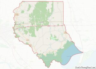
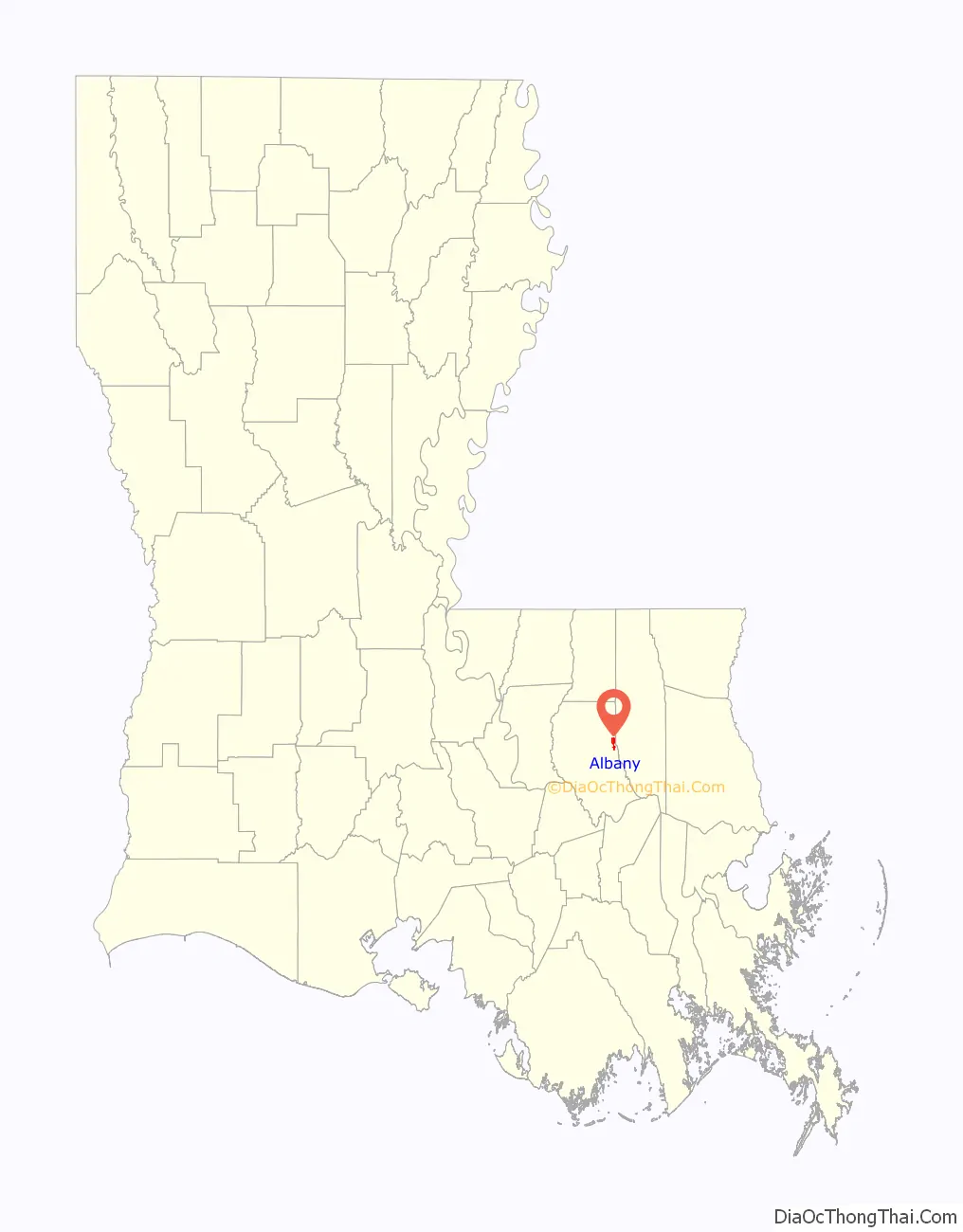
Albany location map. Where is Albany town?

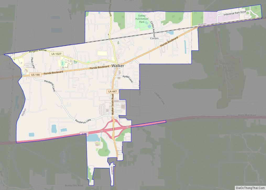
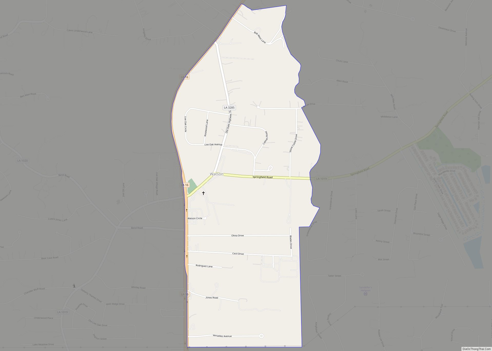
Albany Road Map

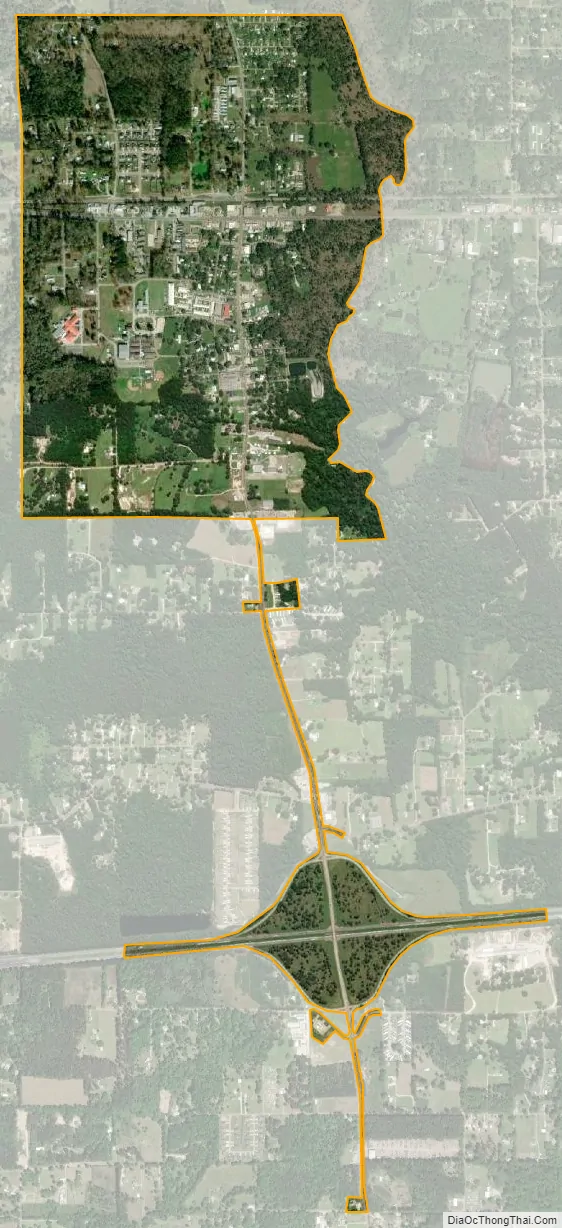
Albany city Satellite Map
Geography
Albany is located at the intersection of U.S. Route 190 and Louisiana Highway 43 and I-12 passes south of the city. The Little Natalbany River flows past the east side of the city and joins the Natalbany River approximately two miles to the southeast.
According to the United States Census Bureau, the town has a total area of 1.1 square miles (2.8 km), all land.
See also
Map of Louisiana State and its subdivision:- Acadia
- Allen
- Ascension
- Assumption
- Avoyelles
- Beauregard
- Bienville
- Bossier
- Caddo
- Calcasieu
- Caldwell
- Cameron
- Catahoula
- Claiborne
- Concordia
- De Soto
- East Baton Rouge
- East Carroll
- East Feliciana
- Evangeline
- Franklin
- Grant
- Iberia
- Iberville
- Jackson
- Jefferson
- Jefferson Davis
- La Salle
- Lafayette
- Lafourche
- Lincoln
- Livingston
- Madison
- Morehouse
- Natchitoches
- Orleans
- Ouachita
- Plaquemines
- Pointe Coupee
- Rapides
- Red River
- Richland
- Sabine
- Saint Bernard
- Saint Charles
- Saint Helena
- Saint James
- Saint John the Baptist
- Saint Landry
- Saint Martin
- Saint Mary
- Saint Tammany
- Tangipahoa
- Tensas
- Terrebonne
- Union
- Vermilion
- Vernon
- Washington
- Webster
- West Baton Rouge
- West Carroll
- West Feliciana
- Winn
- Alabama
- Alaska
- Arizona
- Arkansas
- California
- Colorado
- Connecticut
- Delaware
- District of Columbia
- Florida
- Georgia
- Hawaii
- Idaho
- Illinois
- Indiana
- Iowa
- Kansas
- Kentucky
- Louisiana
- Maine
- Maryland
- Massachusetts
- Michigan
- Minnesota
- Mississippi
- Missouri
- Montana
- Nebraska
- Nevada
- New Hampshire
- New Jersey
- New Mexico
- New York
- North Carolina
- North Dakota
- Ohio
- Oklahoma
- Oregon
- Pennsylvania
- Rhode Island
- South Carolina
- South Dakota
- Tennessee
- Texas
- Utah
- Vermont
- Virginia
- Washington
- West Virginia
- Wisconsin
- Wyoming