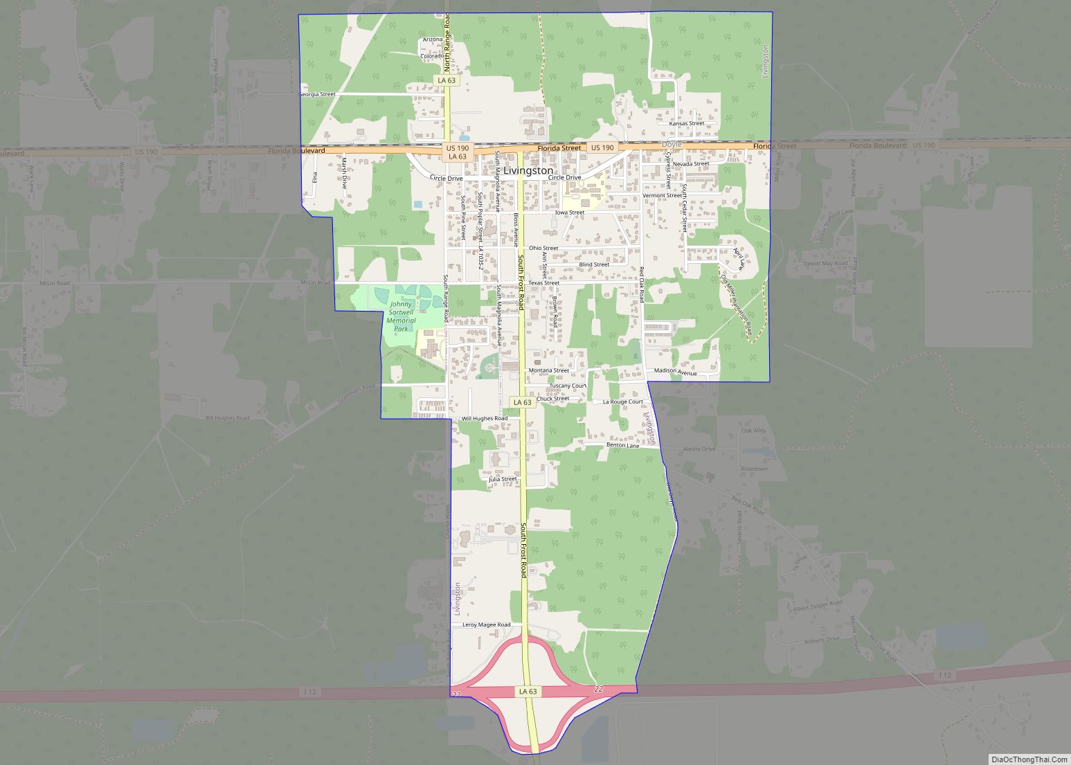
Livingston is the parish seat of Livingston Parish, Louisiana, United States. The population was 1,769 at the 2010 census.
Livingston hosts one of the two LIGO gravitational wave detector sites, the other one being located in Hanford, Washington.
| Name: | Livingston town |
|---|---|
| LSAD Code: | 43 |
| LSAD Description: | town (suffix) |
| State: | Louisiana |
| County: | Livingston Parish |
| Elevation: | 43 ft (13 m) |
| Total Area: | 3.22 sq mi (8.35 km²) |
| Land Area: | 3.22 sq mi (8.35 km²) |
| Water Area: | 0.00 sq mi (0.00 km²) |
| Total Population: | 1,877 |
| Population Density: | 582.38/sq mi (224.86/km²) |
| ZIP code: | 70754 |
| Area code: | 225 |
| FIPS code: | 2244655 |
| Website: | http://www.townoflivingston.com/ |
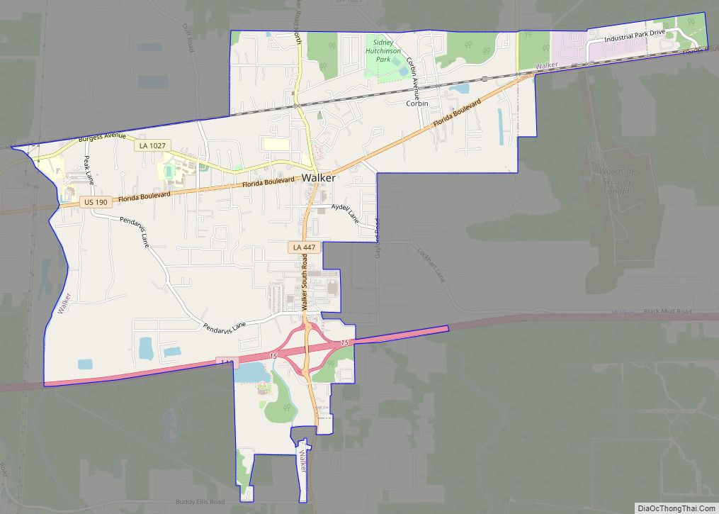
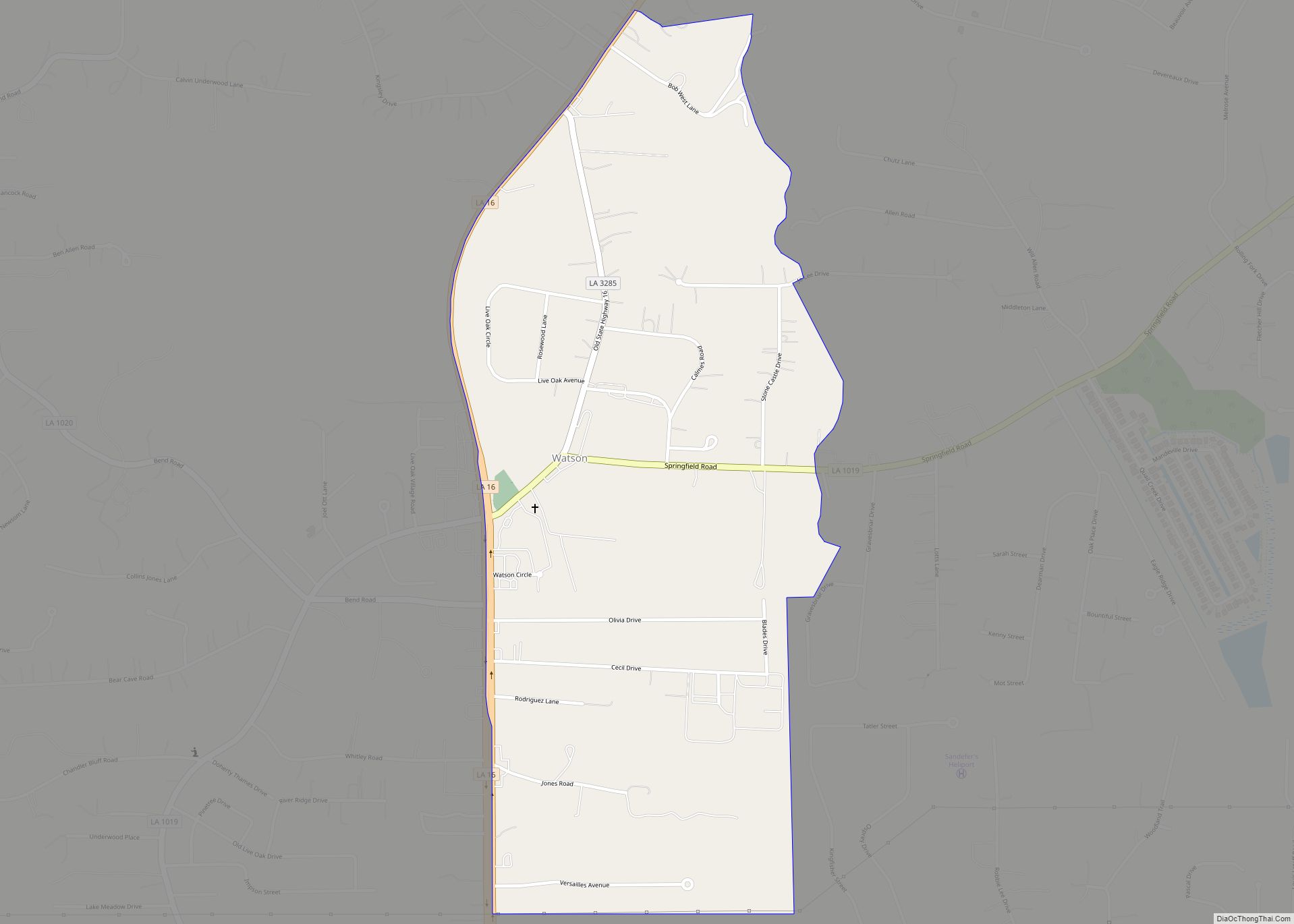
Online Interactive Map
Click on ![]() to view map in "full screen" mode.
to view map in "full screen" mode.
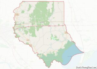
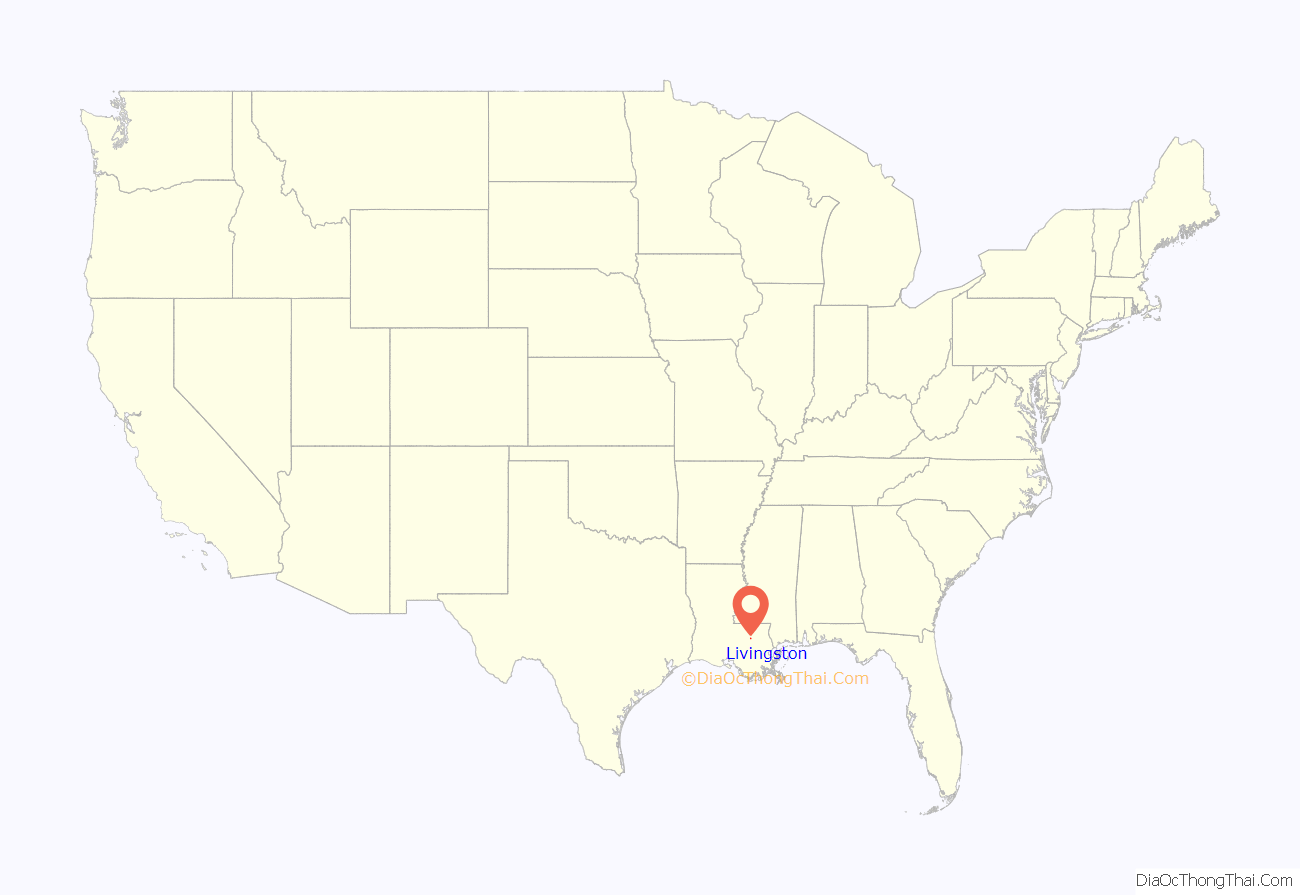
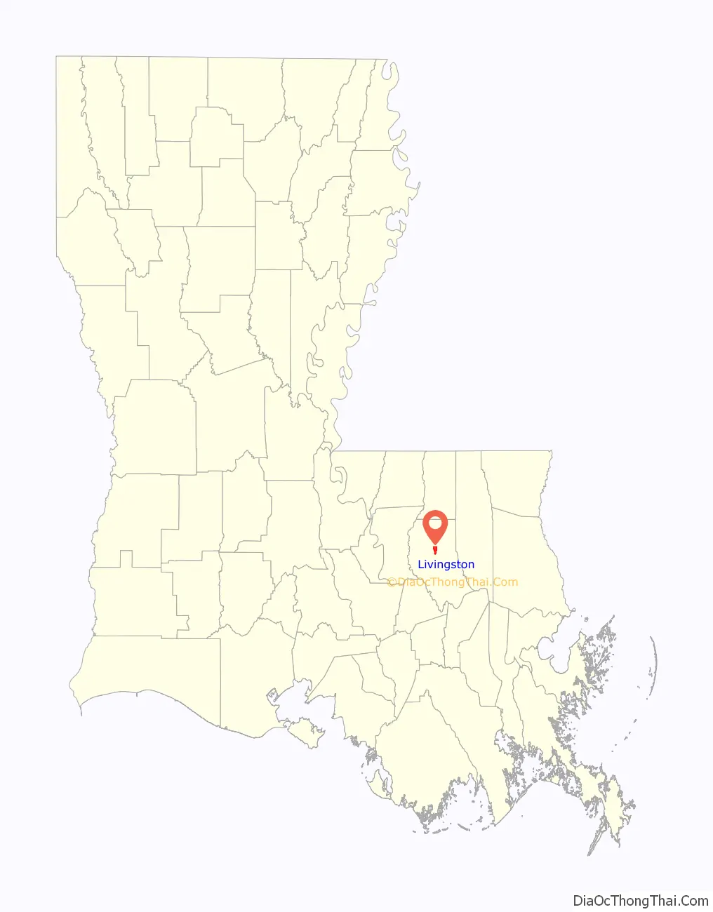
Livingston location map. Where is Livingston town?
History
Like the parish, Livingston takes its name from the jurist Edward Livingston.
Livingston was the site of a major train derailment (spilling about 200,000 gallons of chemicals) in 1982.
On February 11 of 2016, it was officially announced that the LIGO collaboration successfully made the first direct observation of gravitational waves in September 2015. Barry Barish, Kip Thorne and Rainer Weiss were awarded the 2017 Nobel Prize in Physics for leading this work.
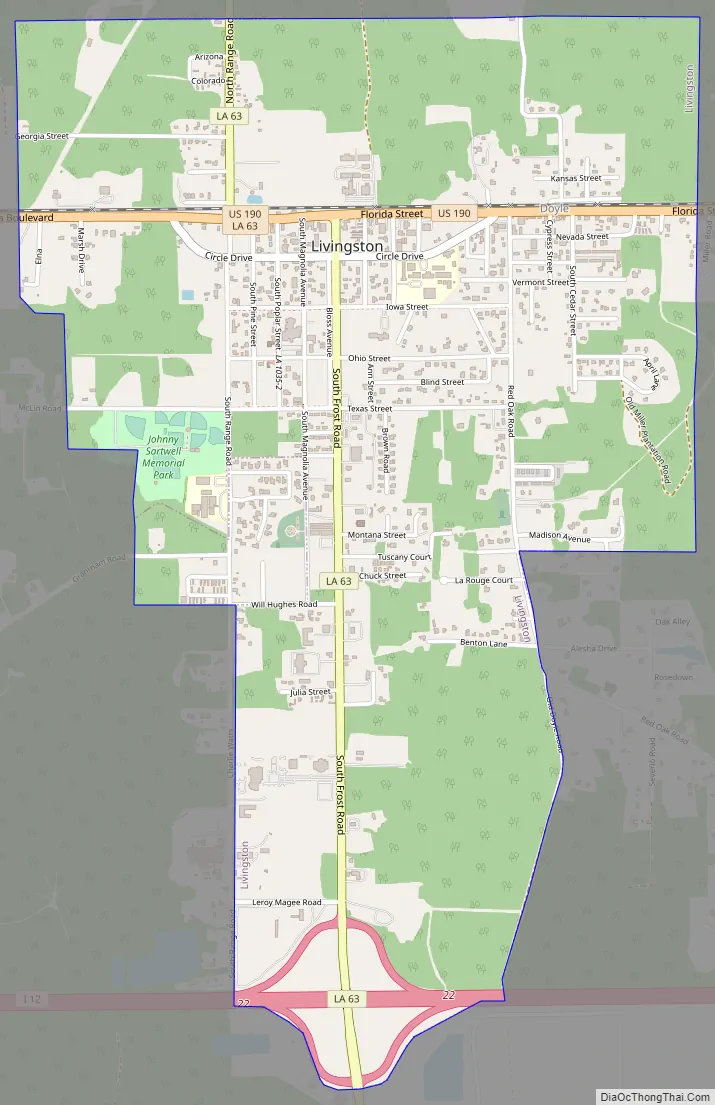
Livingston Road Map
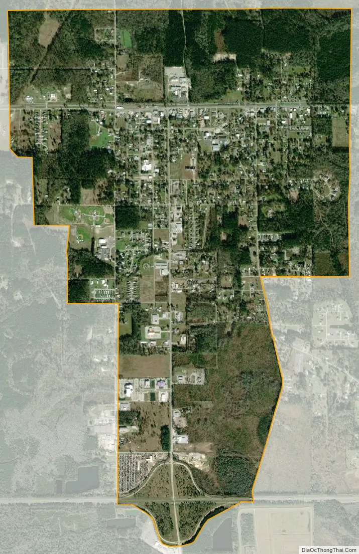
Livingston city Satellite Map
Geography
Livingston is located at 30°29′55″N 90°44′54″W / 30.49861°N 90.74833°W / 30.49861; -90.74833 (30.498721, -90.748371).
According to the United States Census Bureau, the town has a total area of 3.1 square miles (8.0 km), all land. The communities of Doyle and Livingston, combined in 1955 to create the Town of Livingston. Doyle was established northeast of present-day Livingston, located on Hog Branch, off present-day North Doyle Road but moved when the railroad was built from Baton Rouge to Hammond, and the community was re-located in 1901 by the McDonald family.
Livingston was started by the Lyons Lumber Company in 1916 as a logging community on 63 acres just west of Doyle, to support their logging industry and timber mill in Garyville, located south of Livingston on the Mississippi River. Therefore, Livingston and Garyville are sister cities.
When Livingston was first established there was a house on every lot, a board walk in front of every home, and water wells drilled on each corner so every home would have access to running water.
See also
Map of Louisiana State and its subdivision:- Acadia
- Allen
- Ascension
- Assumption
- Avoyelles
- Beauregard
- Bienville
- Bossier
- Caddo
- Calcasieu
- Caldwell
- Cameron
- Catahoula
- Claiborne
- Concordia
- De Soto
- East Baton Rouge
- East Carroll
- East Feliciana
- Evangeline
- Franklin
- Grant
- Iberia
- Iberville
- Jackson
- Jefferson
- Jefferson Davis
- La Salle
- Lafayette
- Lafourche
- Lincoln
- Livingston
- Madison
- Morehouse
- Natchitoches
- Orleans
- Ouachita
- Plaquemines
- Pointe Coupee
- Rapides
- Red River
- Richland
- Sabine
- Saint Bernard
- Saint Charles
- Saint Helena
- Saint James
- Saint John the Baptist
- Saint Landry
- Saint Martin
- Saint Mary
- Saint Tammany
- Tangipahoa
- Tensas
- Terrebonne
- Union
- Vermilion
- Vernon
- Washington
- Webster
- West Baton Rouge
- West Carroll
- West Feliciana
- Winn
- Alabama
- Alaska
- Arizona
- Arkansas
- California
- Colorado
- Connecticut
- Delaware
- District of Columbia
- Florida
- Georgia
- Hawaii
- Idaho
- Illinois
- Indiana
- Iowa
- Kansas
- Kentucky
- Louisiana
- Maine
- Maryland
- Massachusetts
- Michigan
- Minnesota
- Mississippi
- Missouri
- Montana
- Nebraska
- Nevada
- New Hampshire
- New Jersey
- New Mexico
- New York
- North Carolina
- North Dakota
- Ohio
- Oklahoma
- Oregon
- Pennsylvania
- Rhode Island
- South Carolina
- South Dakota
- Tennessee
- Texas
- Utah
- Vermont
- Virginia
- Washington
- West Virginia
- Wisconsin
- Wyoming