| Name: | Madison County |
|---|---|
| FIPS code: | 37-115 |
| State: | North Carolina |
| Founded: | 1851 |
| Named for: | James Madison |
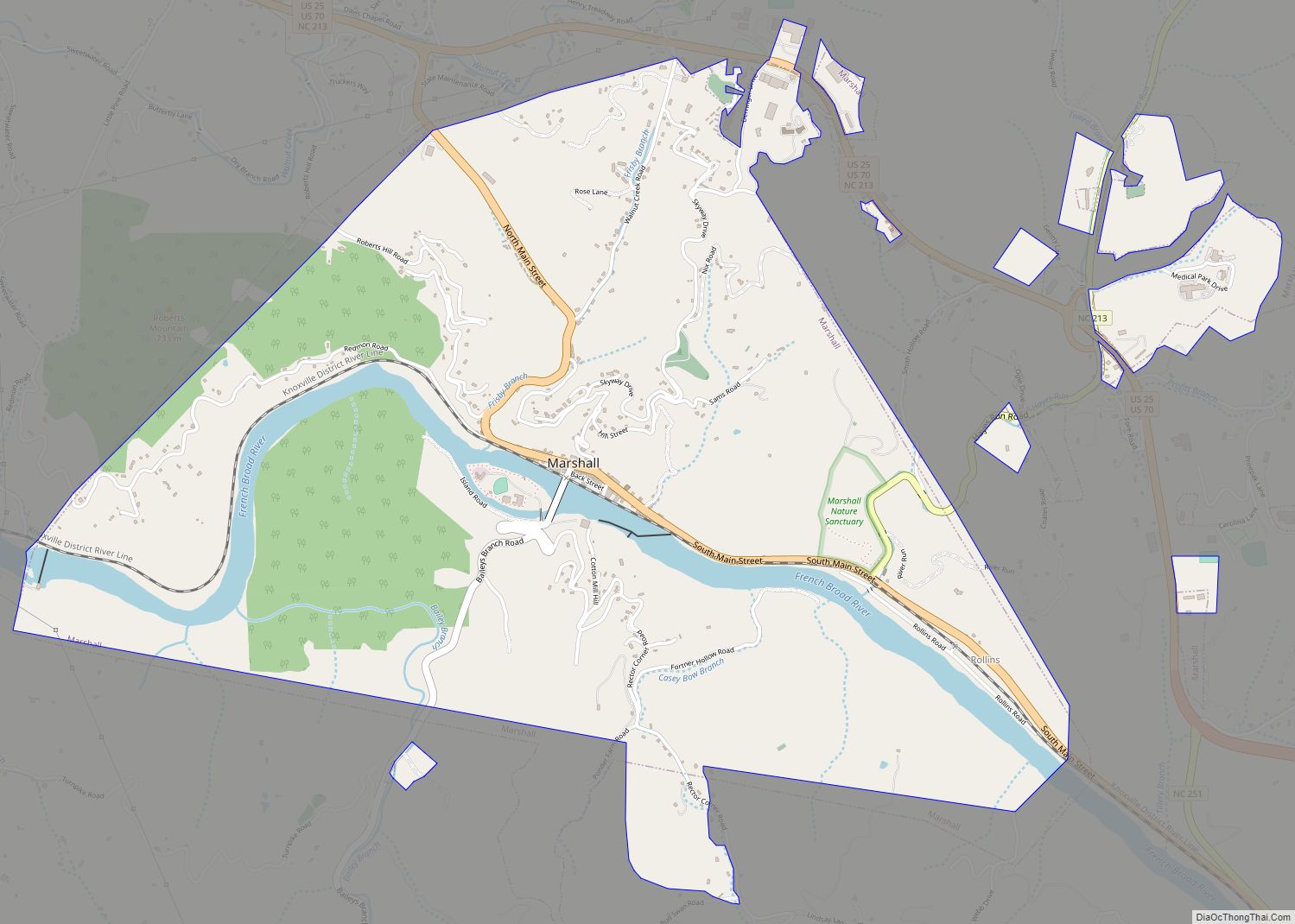
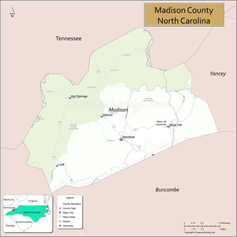
| Seat: | Marshall |
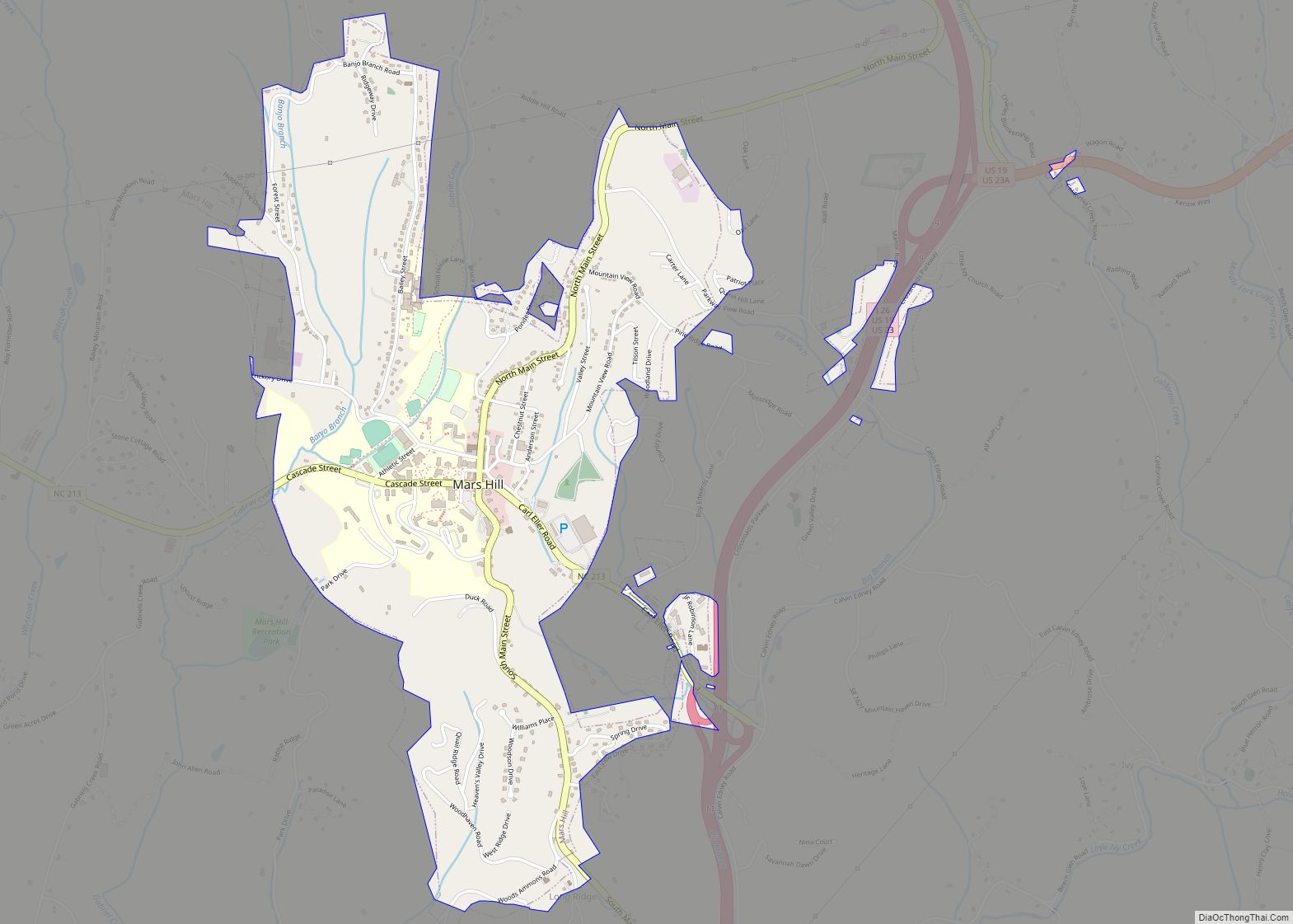
| Largest town: | Mars Hill |
| Total Area: | 451 sq mi (1,170 km²) |
| Land Area: | 450 sq mi (1,200 km²) |
| Total Population: | 21,193 |
| Population Density: | 47.8/sq mi (18.5/km²) |
| Time zone: | UTC−5 (Eastern) |
| Summer Time Zone (DST): | UTC−4 (EDT) |
| Website: | www.madisoncountync.gov |
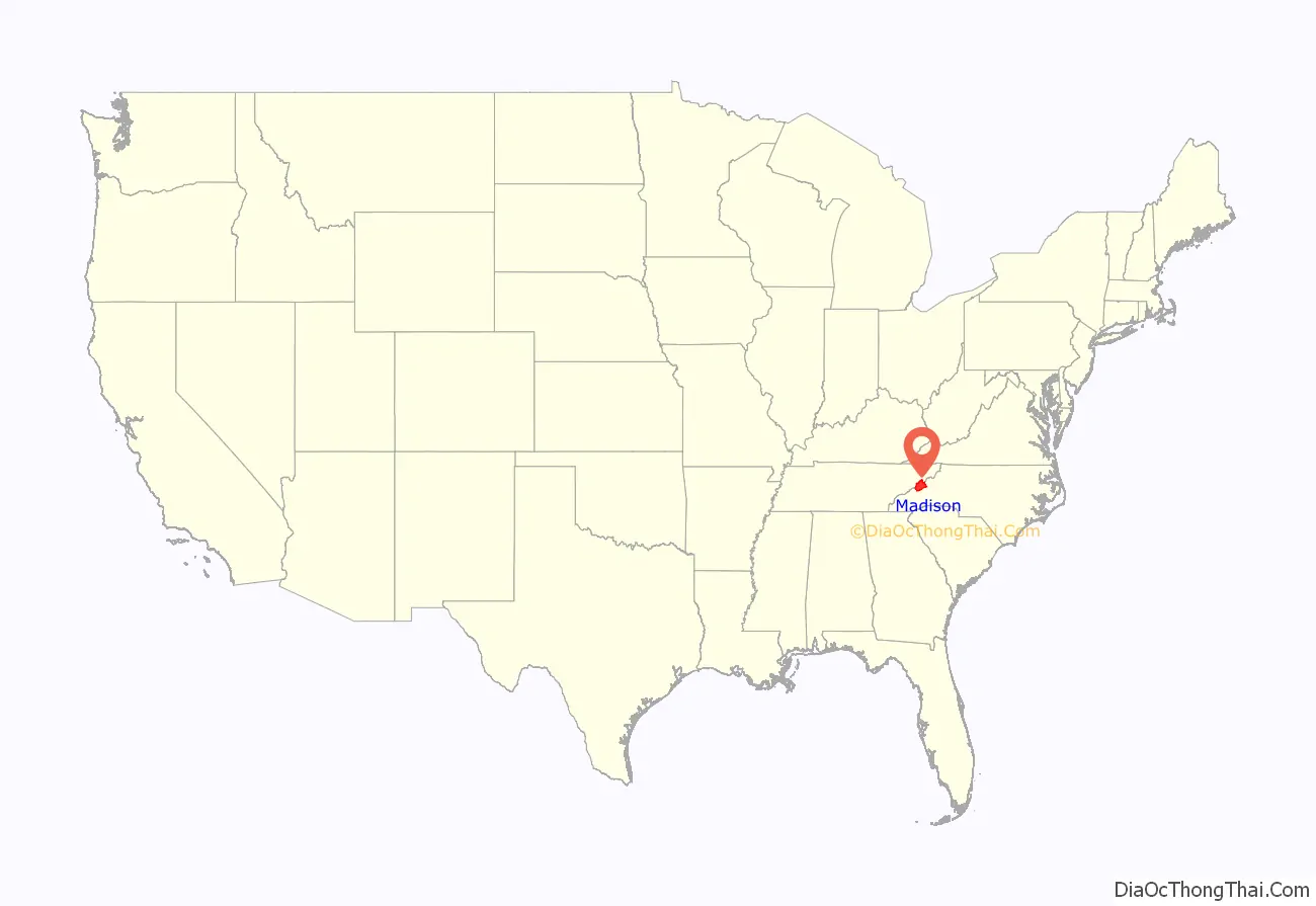
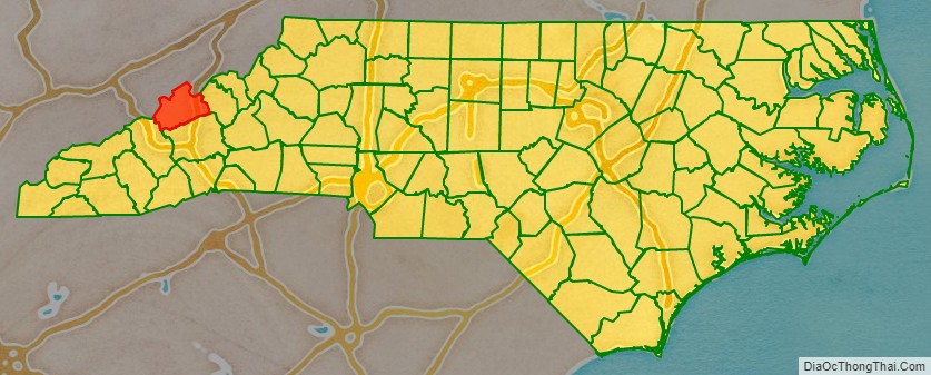
Madison County location map. Where is Madison County?
History
The county was formed in 1851 from parts of Buncombe County and Yancey County. It was named for James Madison, fourth President of the United States (1809–1817).
The commmunity of Long Ridge, outside of Mars Hill, is a traditionally African-American community, and boasts one of the last remaining Rosenwald Schools in Western North Carolina.
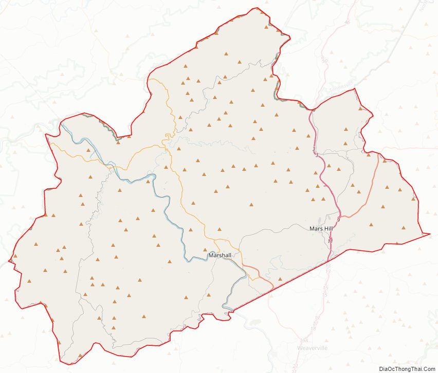
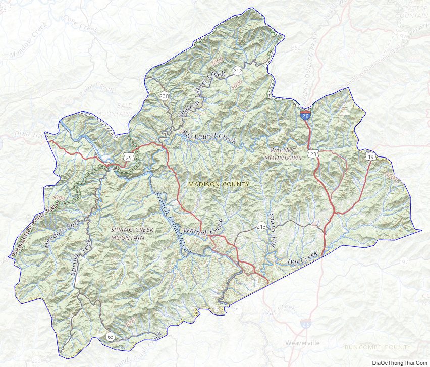
Madison County Road Map
Geography
According to the U.S. Census Bureau, the county has a total area of 451 square miles (1,170 km), of which 450 square miles (1,200 km) is land and 1.9 square miles (4.9 km) (0.4%) is water.
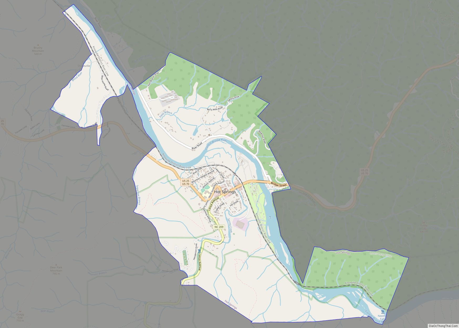
Madison County is located deep in the Appalachian Mountains of western North Carolina, and much of the county’s terrain is rugged, heavily forested, and sparsely populated. The county’s northern border is with the State of Tennessee. Madison County’s largest river is the French Broad River, which flows north-northwest through the county, first past the county seat of Marshall, then past the resort town of Hot Springs.
National protected area
- Great Smoky Mountains National Park (part)
State and local protected area
- Harmon Den Wildlife Management Area (part)
Major water bodies
- Big Laurel Creek
- French Broad River
- Gabriel Creek
- Ivy Creek
- Little Creek
- Little Laurel Creek
- Simmons Creek
- Whiteoak Creek
Adjacent counties
- Greene County, Tennessee – north
- Unicoi County, Tennessee – northeast
- Yancey County – east
- Buncombe County – south
- Haywood County – southwest
- Cocke County, Tennessee – northwest
Major highways
- I-26
- US 19
- US 23
- US 23A
- US 25
- US 25 Bus.
- US 70
- US 70 Bus.
- NC 63
- NC 208
- NC 209
- NC 212
- NC 213
- NC 251
Madison County Topographic Map
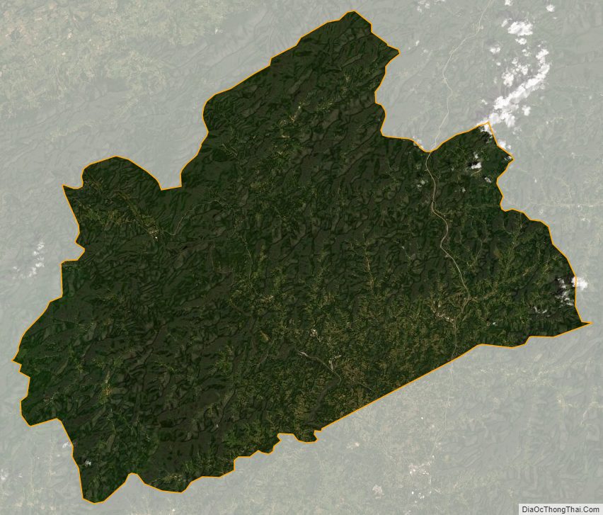
Madison County Satellite Map
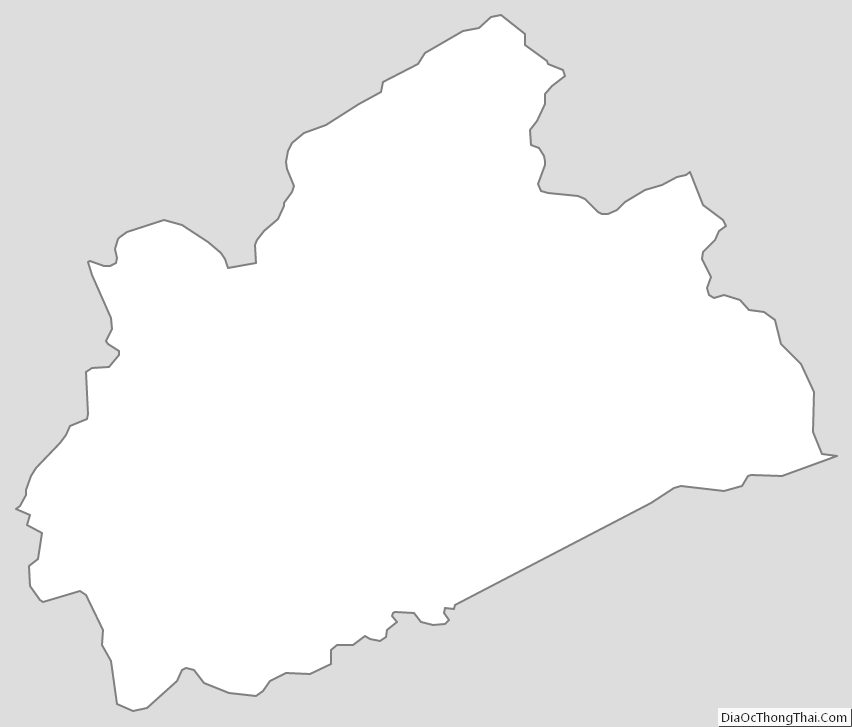
Madison County Outline Map