Hot Springs is a town in Madison County, North Carolina, United States. The population was 560 at the 2010 census. It is part of the Asheville Metropolitan Statistical Area. It is a resort town, reliant on the tourist economy of its namesake springs, and being situated near the Appalachian Trail and the French Broad River.
| Name: | Hot Springs town |
|---|---|
| LSAD Code: | 43 |
| LSAD Description: | town (suffix) |
| State: | North Carolina |
| County: | Madison County |
| Founded: | 1800 |
| Incorporated: | 1889 |
| Elevation: | 1,332 ft (406 m) |
| Total Area: | 3.13 sq mi (8.12 km²) |
| Land Area: | 2.87 sq mi (7.43 km²) |
| Water Area: | 0.27 sq mi (0.69 km²) |
| Total Population: | 520 |
| Population Density: | 181.37/sq mi (70.03/km²) |
| ZIP code: | 28743 |
| Area code: | 828 |
| FIPS code: | 3732840 |
| GNISfeature ID: | 1012224 |
| Website: | hotspringsnc.org |
Online Interactive Map
Click on ![]() to view map in "full screen" mode.
to view map in "full screen" mode.
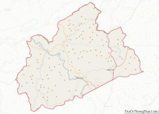
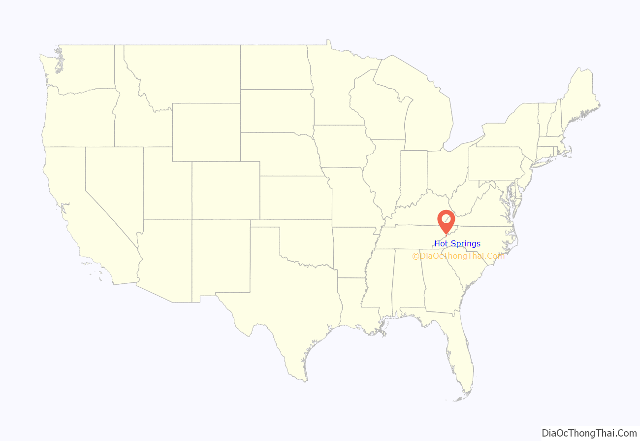
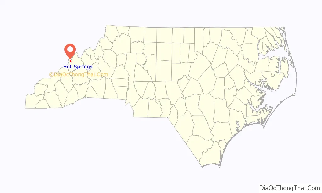
Hot Springs location map. Where is Hot Springs town?
History
Hot Springs is located at the confluence of the French Broad River and Spring Creek. A natural thermal spring is located here, the only hot spring known in North Carolina and in much of the southeastern United States. Thus, this area has long been a destination for those looking for therapeutic relief from their ailments. Native Americans were the first to discover and use the 108° Fahrenheit (42° Celsius) mineral waters, and European immigrants settled the area over 200 years ago. It is reported that people were visiting the springs by 1778 for the waters’ reported healing properties.
It was believed Jasper Dagy was the first owner of Warm Springs, as it was then called, and he sold it to William Neilson in 1791. Neilson built an inn, and Philip Hoodenpile built an estate and a ferry across the French Broad, as well as the toll road Jewel Hill Road.
In 1828, a major road was constructed through the current town, the Buncombe Turnpike, making the area more accessible.
By 1831, James Patton of Asheville bought the springs and had erected 350 room Warm Springs Hotel with its 13 tall columns representing the 13 original colonies in 1837. The dining room of this large hotel could seat 600 people. The railroad reached the village – then called Warm Springs – in 1882. The hotel burned in 1884 after 46 years of operation. Another hotel, called the Mountain Park, was built in 1886. A higher temperature spring was found, prompting the changing of the town’s name from Warm Springs to Hot Springs in 1886. Sixteen marble pools were surrounded by landscaped lawns with croquet and tennis courts, and it was known as one of the most lavish resorts in the Southeast. By May 1917, the hotel and grounds were leased to the US Government to be used as an internment camp. Many German and Austro-Hungarian internees, noncombatant aliens, made local friends and stayed in the region after World War I. That hotel burned in 1920, and two more were built – neither as large and opulent and both later burned as well.
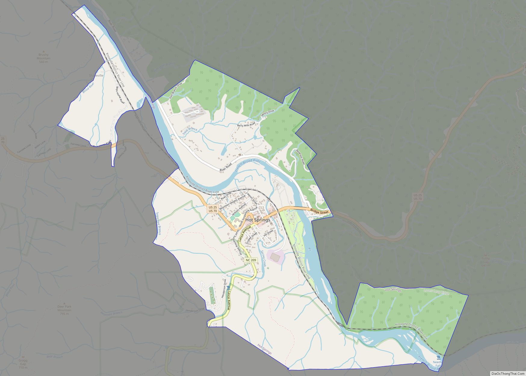
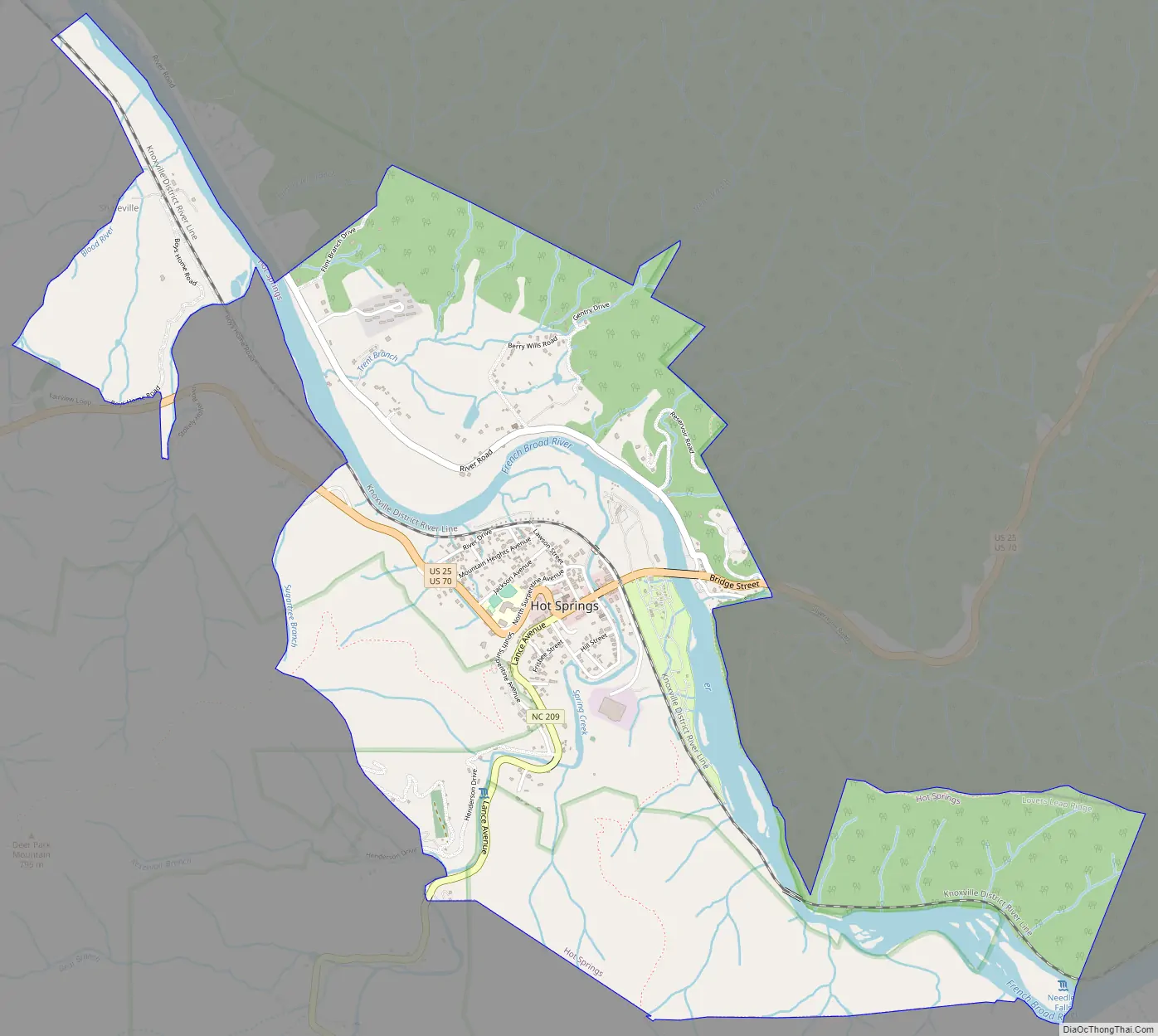
Hot Springs Road Map
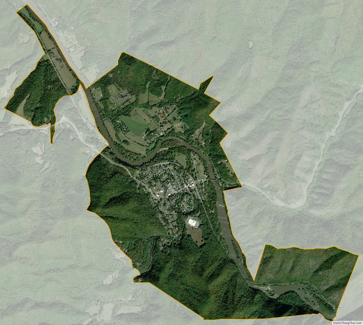
Hot Springs city Satellite Map
Geography
Hot Springs is located at 35°53′44″N 82°49′52″W / 35.89556°N 82.83111°W / 35.89556; -82.83111 (35.895577, -82.831023).
According to the United States Census Bureau, the town has a total area of 3.5 square miles (9.1 km), of which 3.2 square miles (8.3 km) is land and 0.3 square miles (0.78 km) (8.96%) is water.
See also
Map of North Carolina State and its subdivision:- Alamance
- Alexander
- Alleghany
- Anson
- Ashe
- Avery
- Beaufort
- Bertie
- Bladen
- Brunswick
- Buncombe
- Burke
- Cabarrus
- Caldwell
- Camden
- Carteret
- Caswell
- Catawba
- Chatham
- Cherokee
- Chowan
- Clay
- Cleveland
- Columbus
- Craven
- Cumberland
- Currituck
- Dare
- Davidson
- Davie
- Duplin
- Durham
- Edgecombe
- Forsyth
- Franklin
- Gaston
- Gates
- Graham
- Granville
- Greene
- Guilford
- Halifax
- Harnett
- Haywood
- Henderson
- Hertford
- Hoke
- Hyde
- Iredell
- Jackson
- Johnston
- Jones
- Lee
- Lenoir
- Lincoln
- Macon
- Madison
- Martin
- McDowell
- Mecklenburg
- Mitchell
- Montgomery
- Moore
- Nash
- New Hanover
- Northampton
- Onslow
- Orange
- Pamlico
- Pasquotank
- Pender
- Perquimans
- Person
- Pitt
- Polk
- Randolph
- Richmond
- Robeson
- Rockingham
- Rowan
- Rutherford
- Sampson
- Scotland
- Stanly
- Stokes
- Surry
- Swain
- Transylvania
- Tyrrell
- Union
- Vance
- Wake
- Warren
- Washington
- Watauga
- Wayne
- Wilkes
- Wilson
- Yadkin
- Yancey
- Alabama
- Alaska
- Arizona
- Arkansas
- California
- Colorado
- Connecticut
- Delaware
- District of Columbia
- Florida
- Georgia
- Hawaii
- Idaho
- Illinois
- Indiana
- Iowa
- Kansas
- Kentucky
- Louisiana
- Maine
- Maryland
- Massachusetts
- Michigan
- Minnesota
- Mississippi
- Missouri
- Montana
- Nebraska
- Nevada
- New Hampshire
- New Jersey
- New Mexico
- New York
- North Carolina
- North Dakota
- Ohio
- Oklahoma
- Oregon
- Pennsylvania
- Rhode Island
- South Carolina
- South Dakota
- Tennessee
- Texas
- Utah
- Vermont
- Virginia
- Washington
- West Virginia
- Wisconsin
- Wyoming