Mars Hill is a town in Madison County, North Carolina, United States. The population was 1,869 at the 2010 U.S. Census, and was estimated at 2,032 in 2018 by the U.S. Census. It is the home of Mars Hill University, the name of which was inspired by Acts 17:22. The town is located 15 miles (24 km) due north of Asheville. Interstate 26 passes one mile east of the town. It is part of the Asheville Metropolitan Statistical Area.
| Name: | Mars Hill town |
|---|---|
| LSAD Code: | 43 |
| LSAD Description: | town (suffix) |
| State: | North Carolina |
| County: | Madison County |
| Elevation: | 2,310 ft (700 m) |
| Total Area: | 2.10 sq mi (5.45 km²) |
| Land Area: | 2.10 sq mi (5.45 km²) |
| Water Area: | 0.00 sq mi (0.00 km²) |
| Total Population: | 2,007 |
| Population Density: | 954.35/sq mi (368.43/km²) |
| ZIP code: | 28754 |
| Area code: | 828 |
| FIPS code: | 3741620 |
| GNISfeature ID: | 0989359 |
| Website: | www.townofmarshill.org |
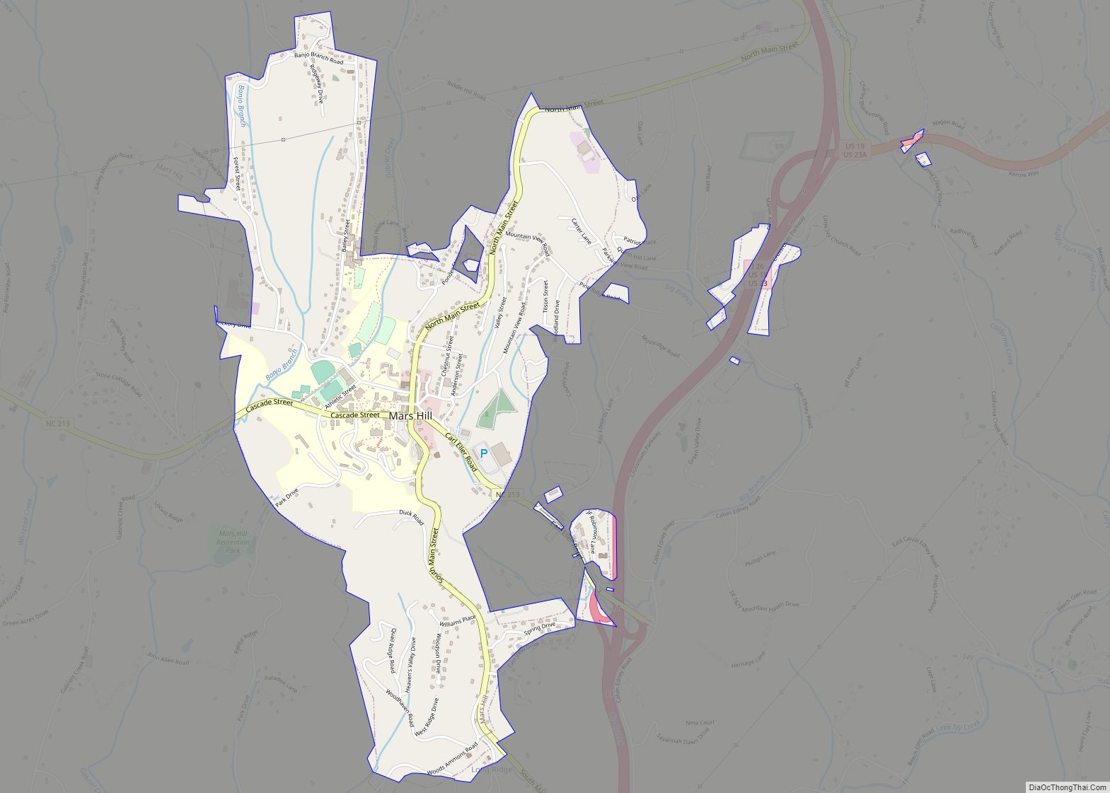
Online Interactive Map
Click on ![]() to view map in "full screen" mode.
to view map in "full screen" mode.
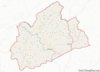
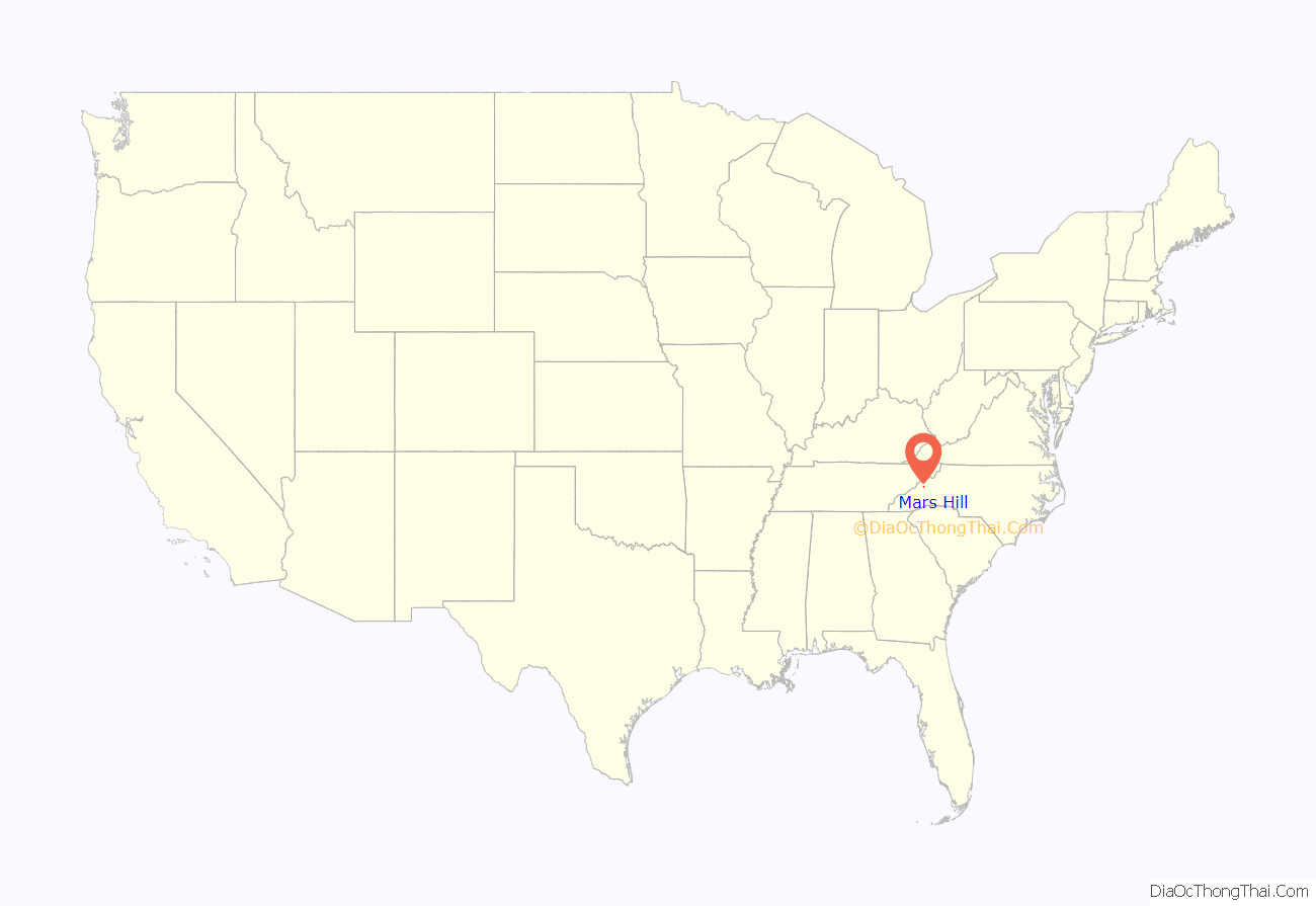
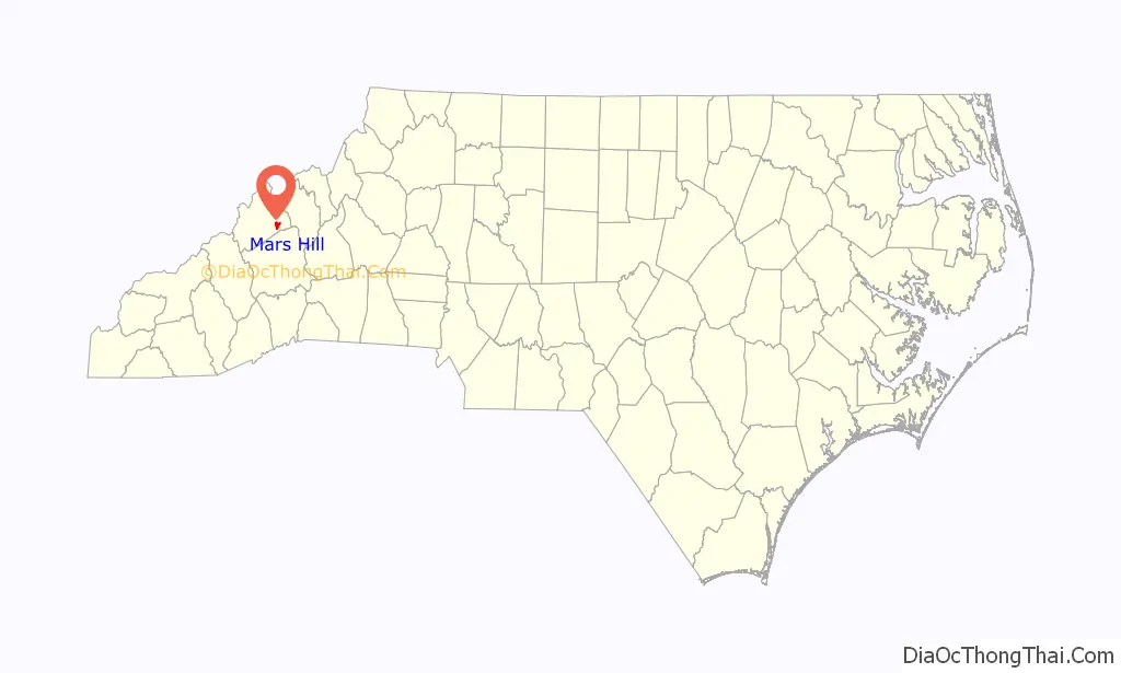
Mars Hill location map. Where is Mars Hill town?
History
Long occupied by indigenous peoples, this area was not settled by European Americans much before the American Revolutionary War. They were mostly yeomen and subsistence farmers, many of whom had Scots-Irish ethnicity. The California Creek Missionary Baptist Church, Mars Hill College Historic District, Mars Hill High School, and Thomas J. Murray House are listed on the National Register of Historic Places.
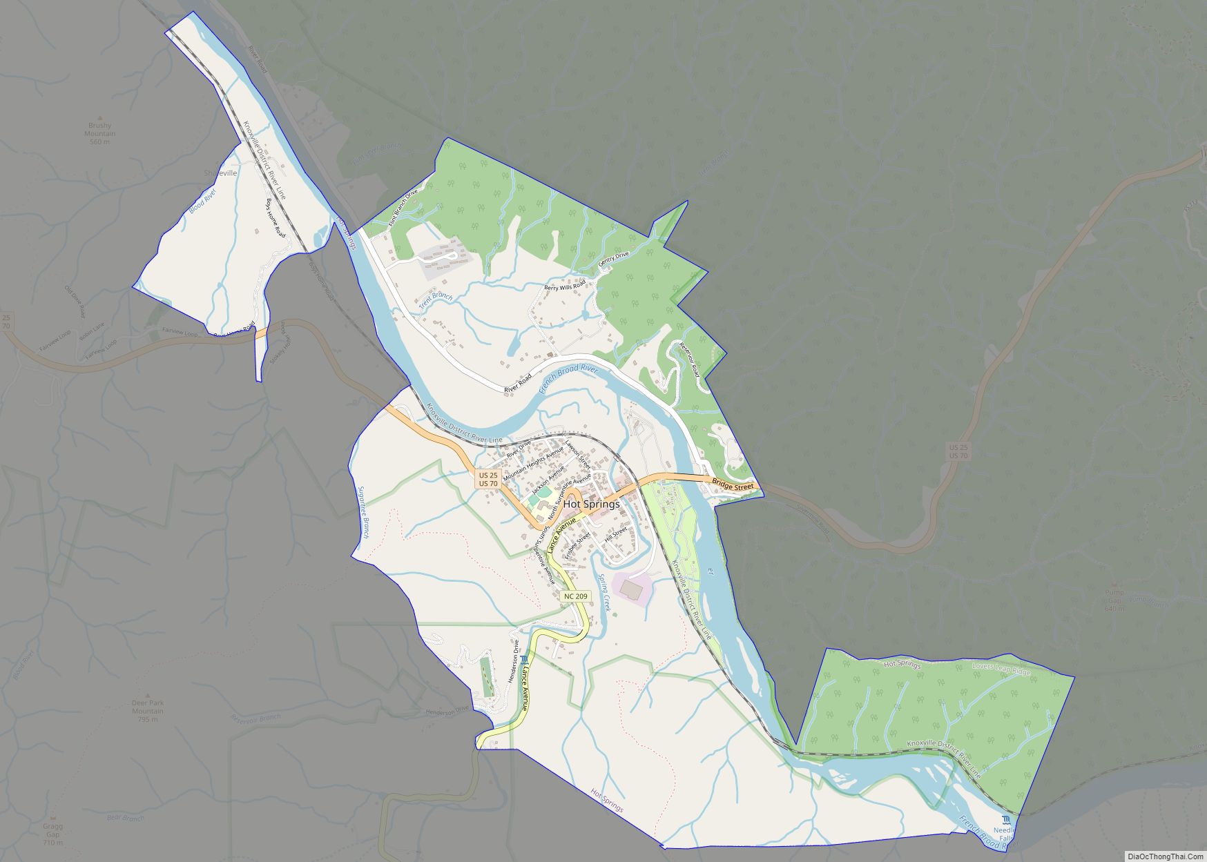
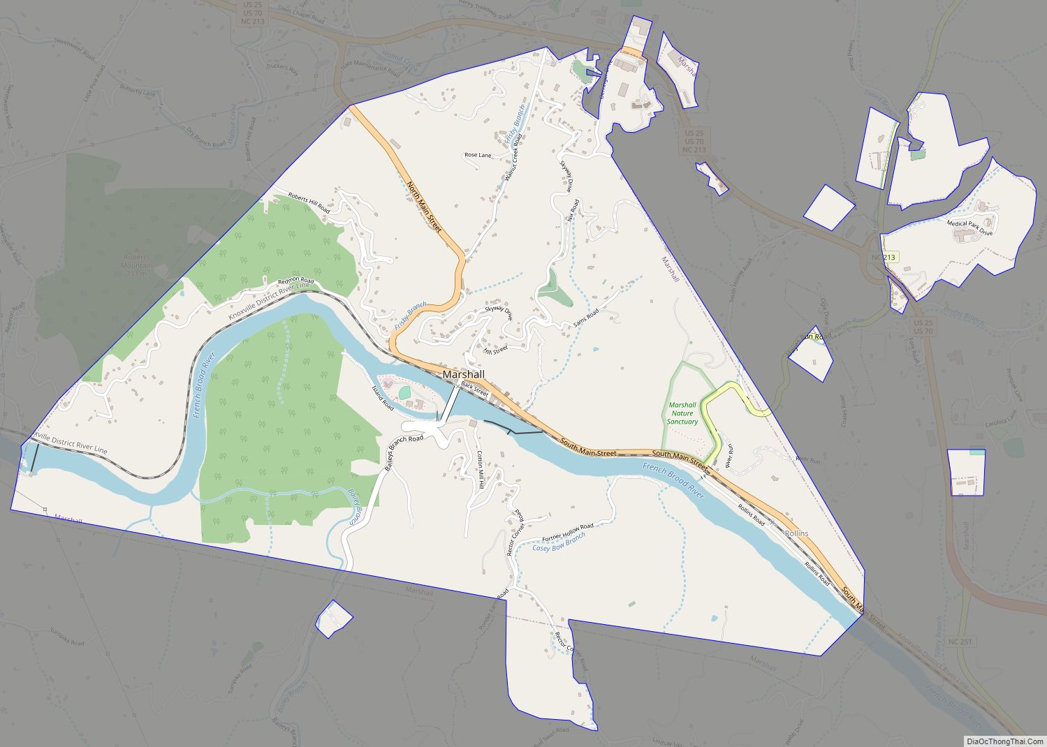
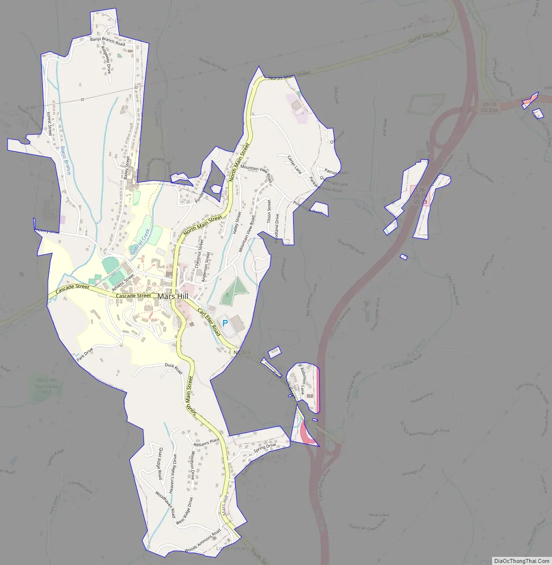
Mars Hill Road Map
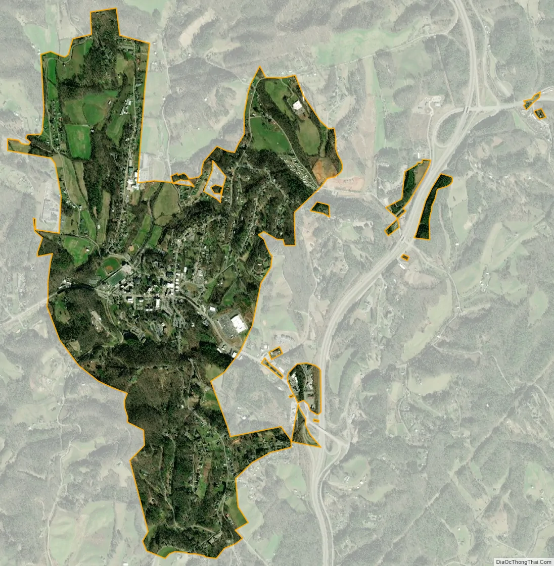
Mars Hill city Satellite Map
Geography
Mars Hill is located at 35°49′43″N 82°32′52″W / 35.82861°N 82.54778°W / 35.82861; -82.54778 (35.828496, -82.547843).
According to the United States Census Bureau, the town has a total area of 1.9 square miles (4.9 km), all land. The town has an elevation of 2,330 feet (710 m), so the climate of the area is considerably cooler than might be expected of a town in a southern state.
See also
Map of North Carolina State and its subdivision:- Alamance
- Alexander
- Alleghany
- Anson
- Ashe
- Avery
- Beaufort
- Bertie
- Bladen
- Brunswick
- Buncombe
- Burke
- Cabarrus
- Caldwell
- Camden
- Carteret
- Caswell
- Catawba
- Chatham
- Cherokee
- Chowan
- Clay
- Cleveland
- Columbus
- Craven
- Cumberland
- Currituck
- Dare
- Davidson
- Davie
- Duplin
- Durham
- Edgecombe
- Forsyth
- Franklin
- Gaston
- Gates
- Graham
- Granville
- Greene
- Guilford
- Halifax
- Harnett
- Haywood
- Henderson
- Hertford
- Hoke
- Hyde
- Iredell
- Jackson
- Johnston
- Jones
- Lee
- Lenoir
- Lincoln
- Macon
- Madison
- Martin
- McDowell
- Mecklenburg
- Mitchell
- Montgomery
- Moore
- Nash
- New Hanover
- Northampton
- Onslow
- Orange
- Pamlico
- Pasquotank
- Pender
- Perquimans
- Person
- Pitt
- Polk
- Randolph
- Richmond
- Robeson
- Rockingham
- Rowan
- Rutherford
- Sampson
- Scotland
- Stanly
- Stokes
- Surry
- Swain
- Transylvania
- Tyrrell
- Union
- Vance
- Wake
- Warren
- Washington
- Watauga
- Wayne
- Wilkes
- Wilson
- Yadkin
- Yancey
- Alabama
- Alaska
- Arizona
- Arkansas
- California
- Colorado
- Connecticut
- Delaware
- District of Columbia
- Florida
- Georgia
- Hawaii
- Idaho
- Illinois
- Indiana
- Iowa
- Kansas
- Kentucky
- Louisiana
- Maine
- Maryland
- Massachusetts
- Michigan
- Minnesota
- Mississippi
- Missouri
- Montana
- Nebraska
- Nevada
- New Hampshire
- New Jersey
- New Mexico
- New York
- North Carolina
- North Dakota
- Ohio
- Oklahoma
- Oregon
- Pennsylvania
- Rhode Island
- South Carolina
- South Dakota
- Tennessee
- Texas
- Utah
- Vermont
- Virginia
- Washington
- West Virginia
- Wisconsin
- Wyoming