Madison County is a county located in the Commonwealth of Virginia. As of the 2020 census, the population was 13,837. Its county seat is Madison.
| Name: | Madison County |
|---|---|
| FIPS code: | 51-113 |
| State: | Virginia |
| Founded: | 1792 |
| Named for: | Madison family |
| Seat: | Madison |
| Largest town: | Madison |
| Total Area: | 322 sq mi (830 km²) |
| Land Area: | 321 sq mi (830 km²) |
| Total Population: | 13,837 |
| Population Density: | 43/sq mi (17/km²) |
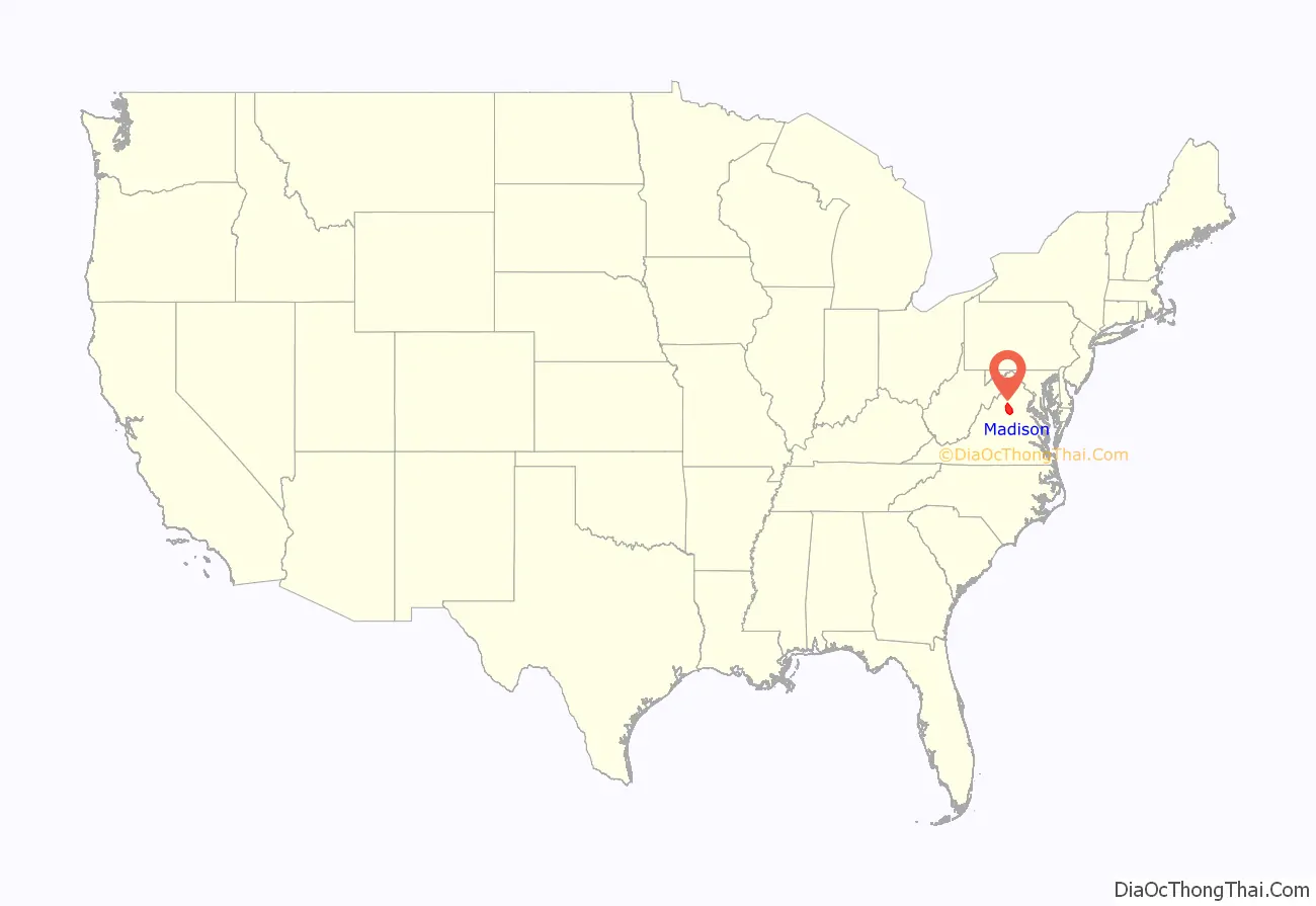
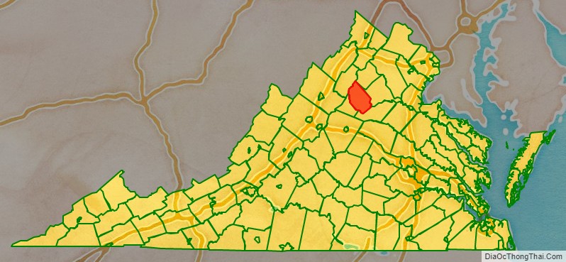
Madison County location map. Where is Madison County?
History
Madison County was established in December 1792, created from Culpeper County. The county is named for the Madison family that owned land along the Rapidan River. President James Madison is a descendant of that family.
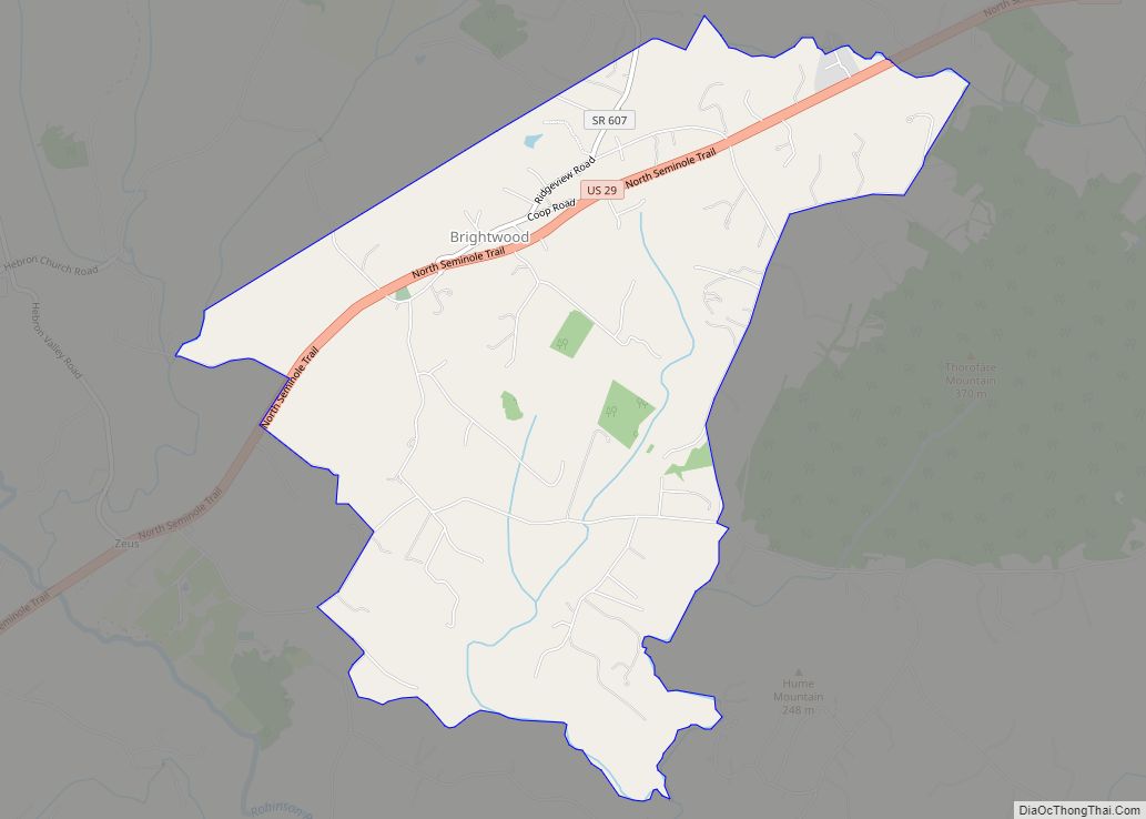
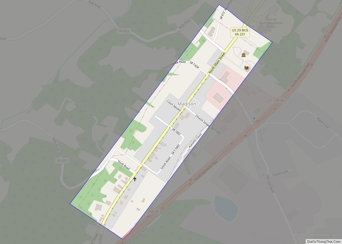
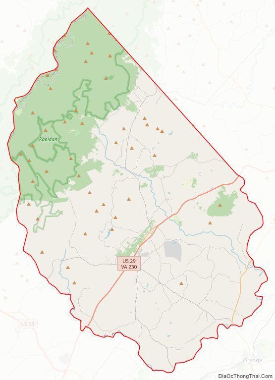
Madison County Road Map
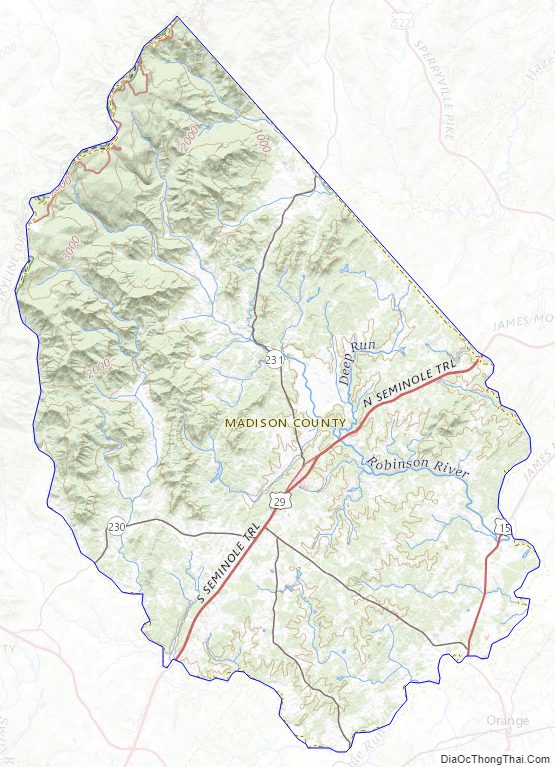
Geography
According to the U.S. Census Bureau, the county has a total area of 322 square miles (830 km), of which 321 square miles (830 km) is land and 1.2 square miles (3.1 km) (0.4%) is water.
A significant portion of western Madison County is within Shenandoah National Park, including Hawksbill Mountain, the highest point in both the park and in Madison County, Old Rag Mountain, one of the park’s most popular tourist destinations, and Rapidan Camp, the presidential retreat built by Herbert Hoover. Hoover’s Camp was built between 1929 and 1932. The camp consisted of 13 buildings with the main one being “The Brown House”. In 2017, only three of these houses are still standing (The Brown House, The Prime Minister Cabin, and The Creel). The camp was built where two streams merge to form the Rapidan River because fishing was Hoover’s favorite pastime. Hoover even made sure that the camp was built at an elevation where mosquitos would not be a nuisance while fishing. The camp was donated to the Commonwealth of Virginia in 1932 so other presidents could use it and in December 1935 it officially became a part of Shenandoah National Park.
Adjacent counties
- Page County, Virginia – northwest
- Rappahannock County, Virginia – north
- Culpeper County, Virginia – east
- Orange County, Virginia – southeast
- Greene County, Virginia – southwest
National protected area
- Shenandoah National Park (part)
Major highways
- US 15
- US 29
- SR 230
- SR 231
Madison County Topographic Map
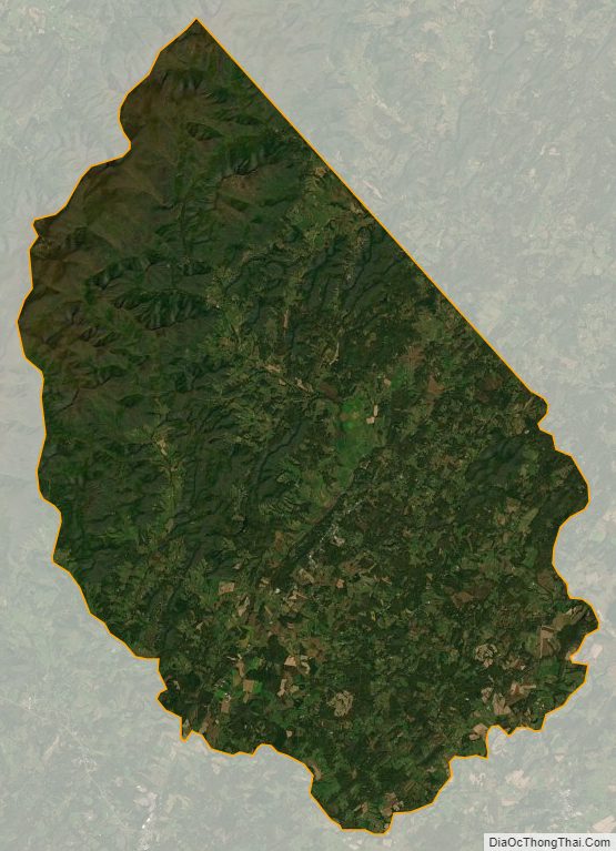
Madison County Satellite Map
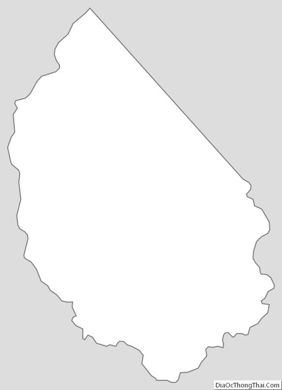
Madison County Outline Map