Magoffin County is a county located in the U.S. state of Kentucky. As of the 2020 census, the population was 11,637. Its county seat is Salyersville. The county was formed in 1860 from adjacent portions of Floyd, Johnson, and Morgan Counties. It was named for Beriah Magoffin who was Governor of Kentucky (1859–62).
| Name: | Magoffin County |
|---|---|
| FIPS code: | 21-153 |
| State: | Kentucky |
| Founded: | 1860 |
| Named for: | Beriah Magoffin |
| Seat: | Salyersville |
| Largest city: | Salyersville |
| Total Area: | 309 sq mi (800 km²) |
| Land Area: | 308 sq mi (800 km²) |
| Total Population: | 11,637 |
| Population Density: | 38/sq mi (15/km²) |
| Time zone: | UTC−5 (Eastern) |
| Summer Time Zone (DST): | UTC−4 (EDT) |
| Website: | magoffincounty.ky.gov |
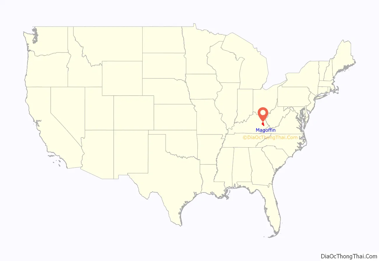
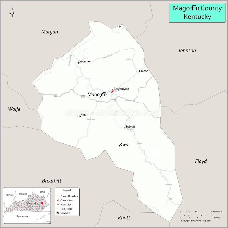
Magoffin County location map. Where is Magoffin County?
History
The area now encompassed by Kentucky’s Magoffin County was first bounded in 1772, when all of what is now the state of Kentucky was in the frontier county of Fincastle County, Virginia. Fincastle was divided in 1776, with the western portion named Kentucky County, Virginia. In 1780, the Virginia legislature set aside all land in Kentucky County for soldiers who had served in the Revolutionary War. In 1780, Kentucky County was divided into 3 counties, Jefferson, Fayette, and Lincoln. Fayette County was divided in 1785, with part becoming Bourbon County. In 1792, the lower part of Bourbon County was partitioned off to form Clark County. The area was further divided in 1796 to form Montgomery County, with Fleming County being partitioned from the area in 1798. In 1800, Floyd County was created from portions of Fleming, Mason, and Montgomery Counties. In 1843, Johnson County was carved out of the previous Bath County area, which was created in 1811 from Montgomery County, and which lost a portion of its territory in 1843 for the creation of Johnson County.
In 1860, the Kentucky Legislature partitioned parts of Johnson, Floyd, and Morgan Counties, to create Magoffin County. Its boundaries have remained unchanged since that time.
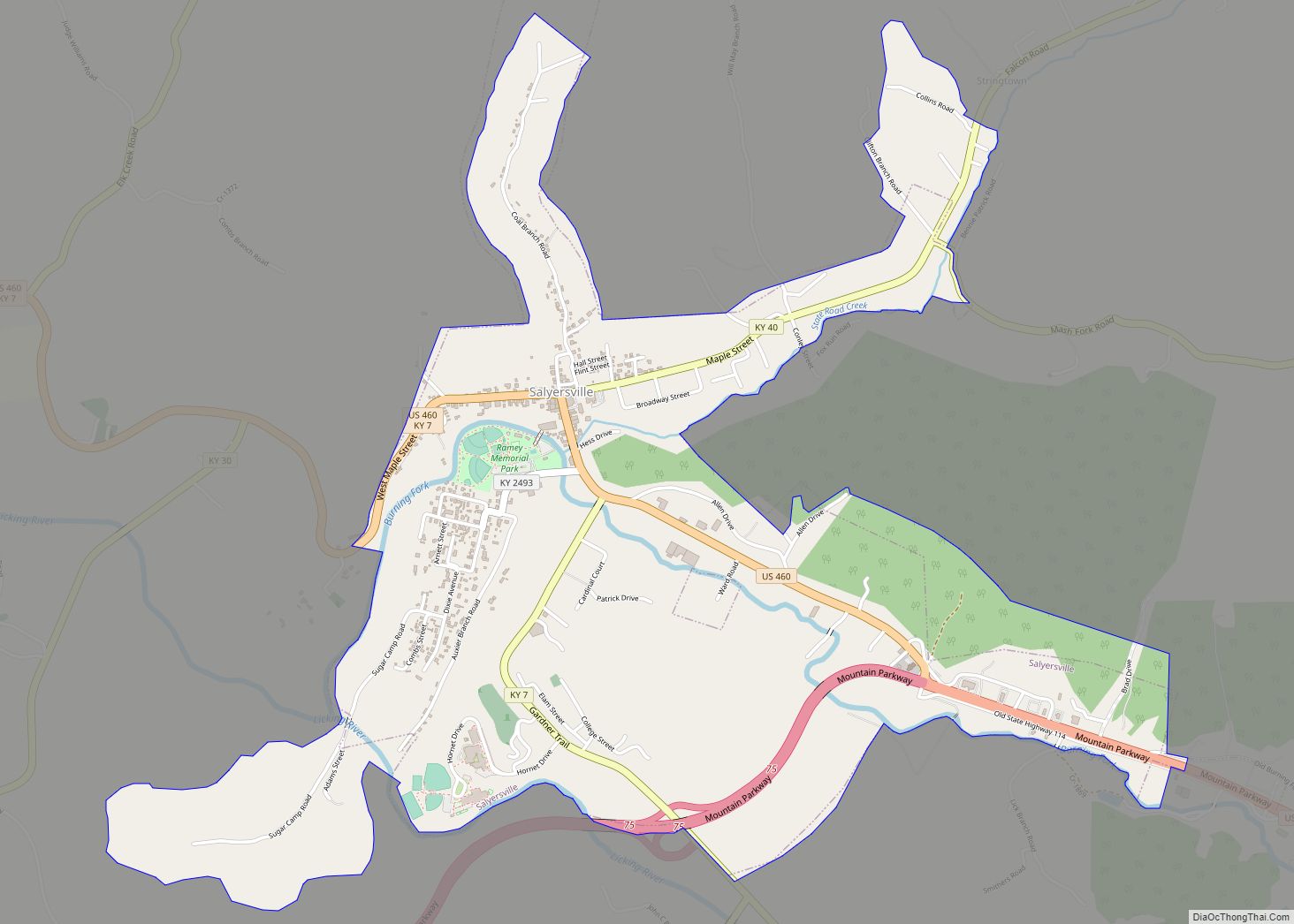
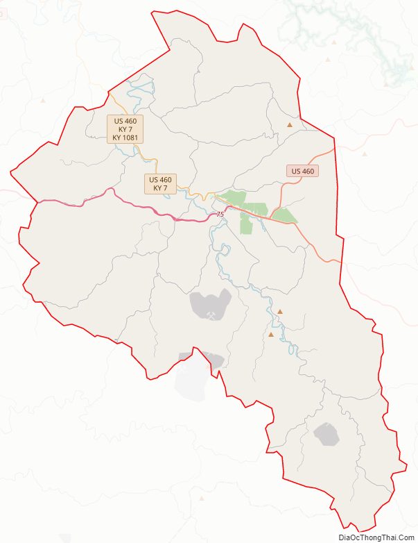
Magoffin County Road Map
Geography
According to the U.S. Census Bureau, the county has a total area of 309 square miles (800 km), of which 308 square miles (800 km) is land and 0.7 square miles (1.8 km) (0.2%) is water. It is watered by Licking River.
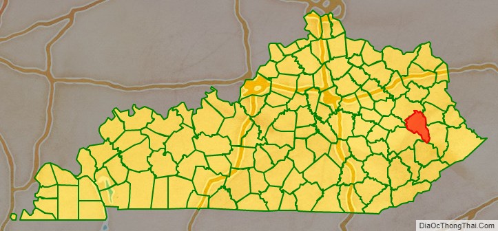
Adjacent counties
- Morgan County (northwest)
- Johnson County (northeast)
- Floyd County (southeast)
- Knott County (south)
- Breathitt County (southwest)
- Wolfe County (west)
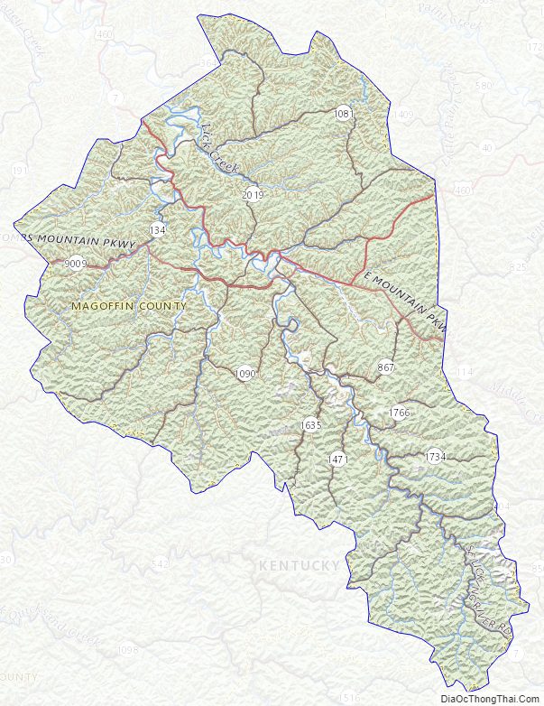
Magoffin County Topographic Map
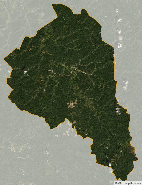
Magoffin County Satellite Map
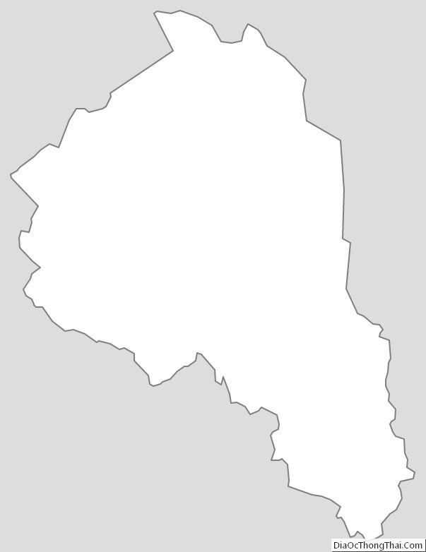
Magoffin County Outline Map