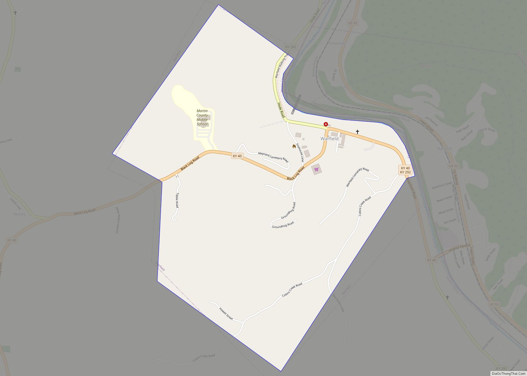
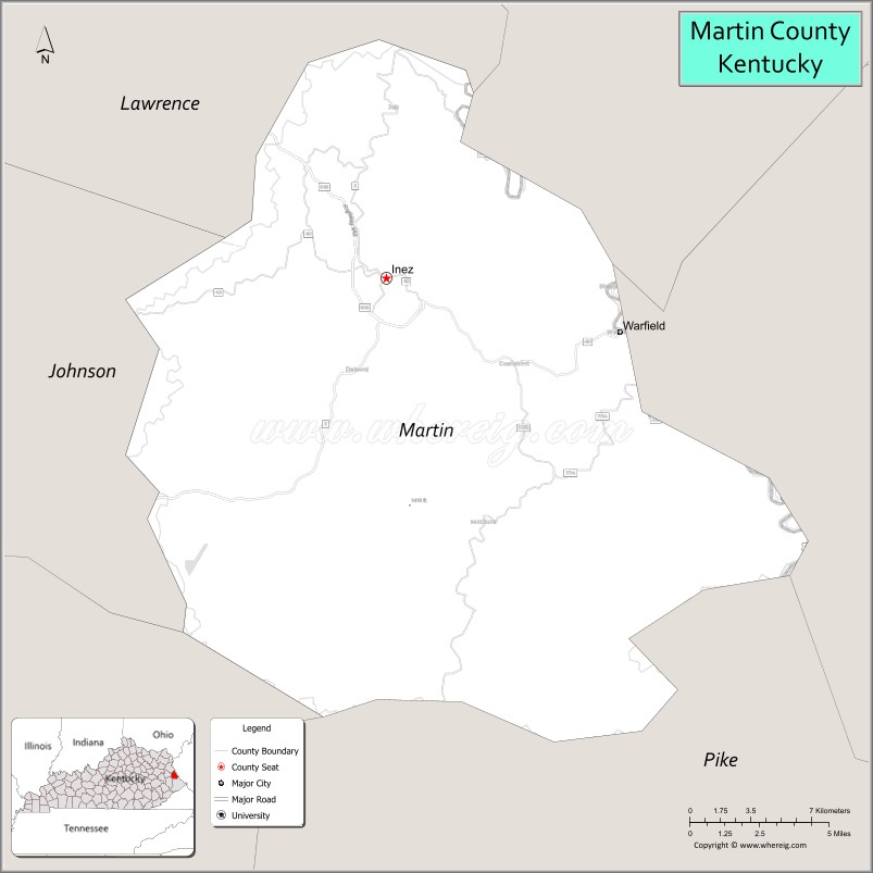
Martin County is a county located in the U.S. state of Kentucky. As of the 2020 census, the population was 11,287. Its county seat is Inez. The county was founded in 1870 and is named for Congressman John Preston Martin. Warfield, Kentucky, is the only non-dry city in the county.
| Name: | Martin County |
|---|---|
| FIPS code: | 21-159 |
| State: | Kentucky |
| Founded: | September 1, 1870 |
| Named for: | John P. Martin |
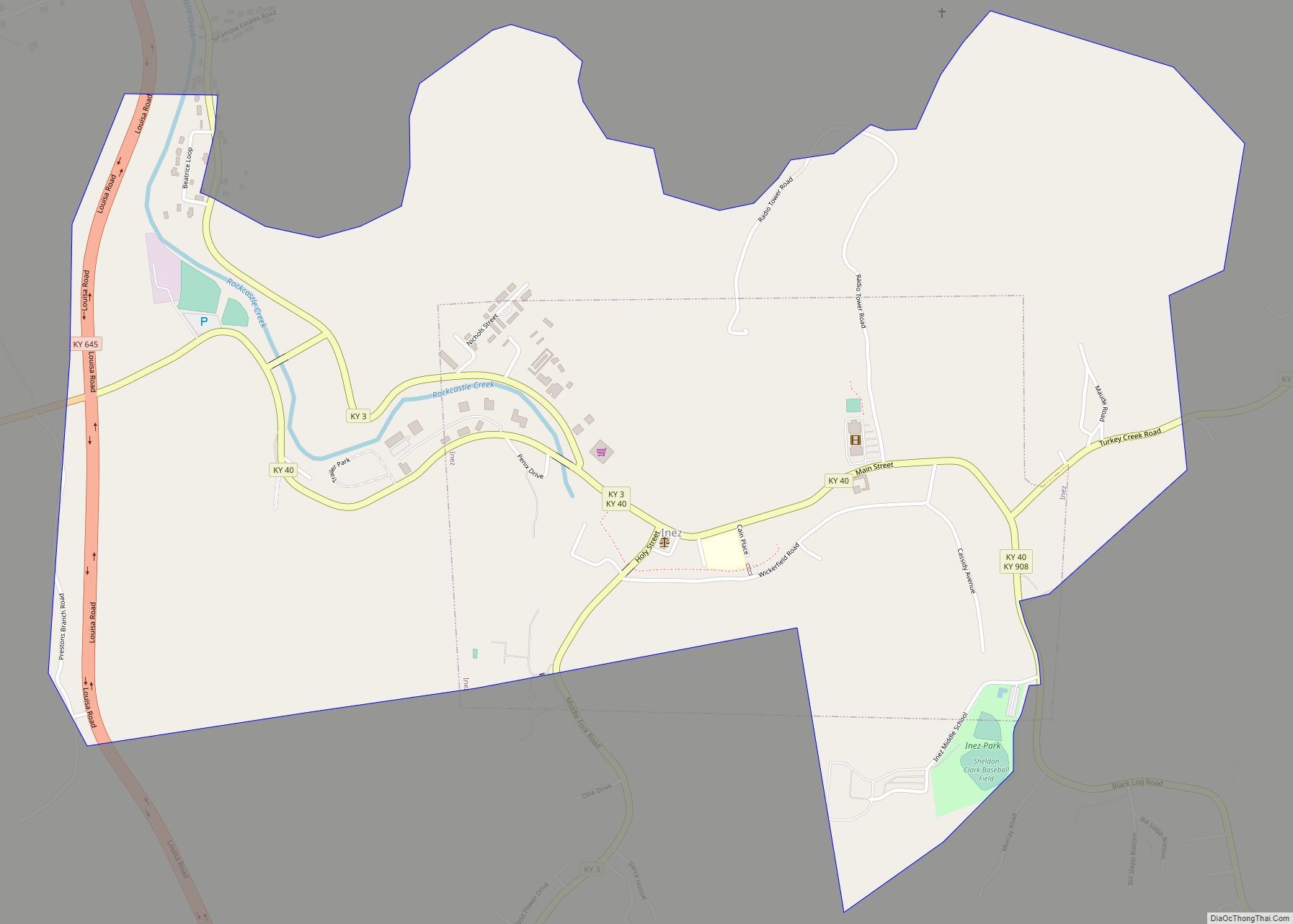
| Seat: | Inez |
| Largest city: | Inez |
| Total Area: | 231 sq mi (600 km²) |
| Land Area: | 230 sq mi (600 km²) |
| Total Population: | 11,287 |
| Population Density: | 49/sq mi (19/km²) |
| Time zone: | UTC−5 (Eastern) |
| Summer Time Zone (DST): | UTC−4 (EDT) |
| Website: | www.martincountykentucky.com |
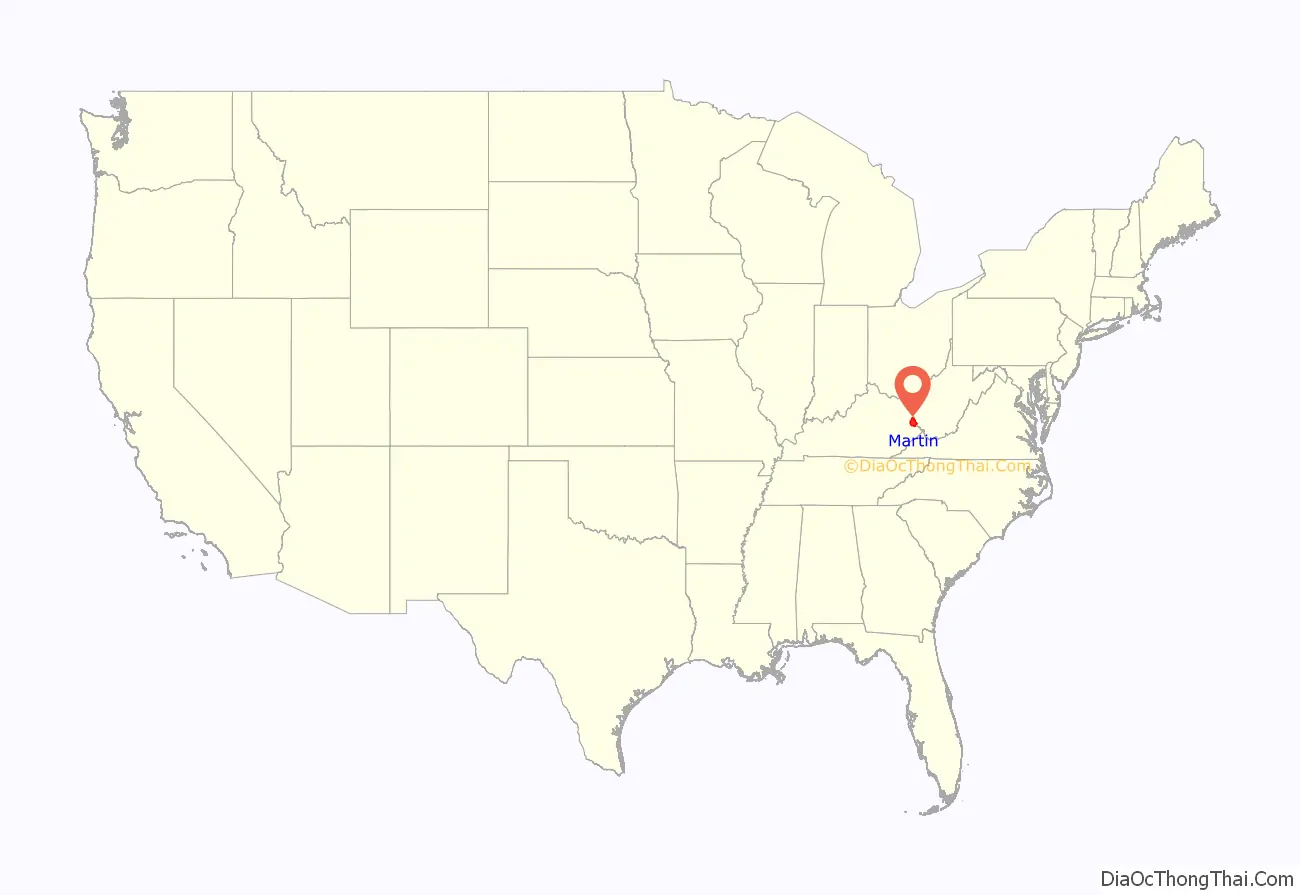
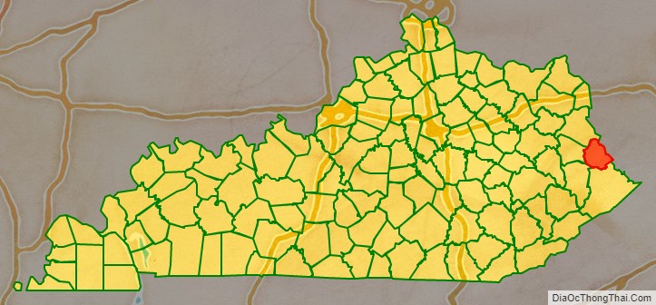
Martin County location map. Where is Martin County?
History
Martin County was formed in 1870, and named for congressman John Preston Martin. The county seat was initially located in Warfield, but was moved to Inez due to its more central location in the county.
The county has long been reliant on the coal industry. In 1964, President Lyndon Johnson visited Inez, where he announced the launch of the War on Poverty.
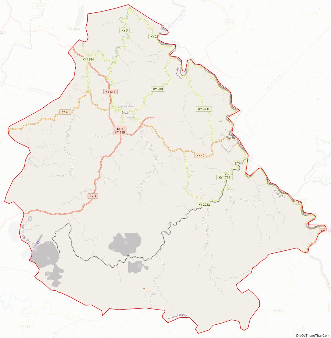
Martin County Road Map
Geography
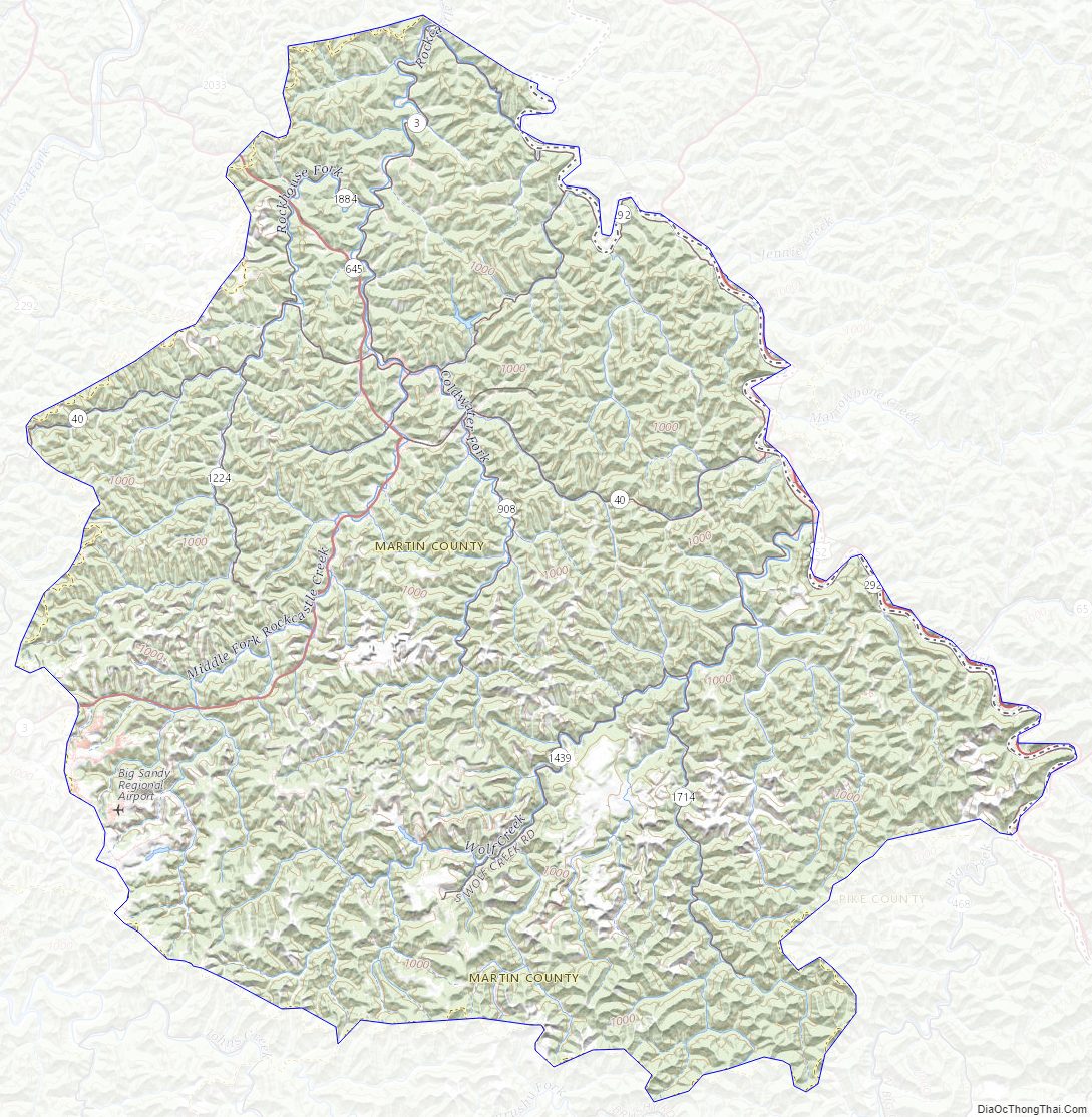
According to the U.S. Census Bureau, the county has a total area of 231 square miles (600 km), of which 230 square miles (600 km) is land and 1.0 square mile (2.6 km) (0.4%) is water. The county’s eastern border is formed by the Tug Fork of the Big Sandy River.
Adjacent counties
- Lawrence County (northwest)
- Wayne County, West Virginia (northeast)
- Mingo County, West Virginia (southeast)
- Pike County (south)
- Floyd County (southwest)
- Johnson County (west)
Martin County Topographic Map
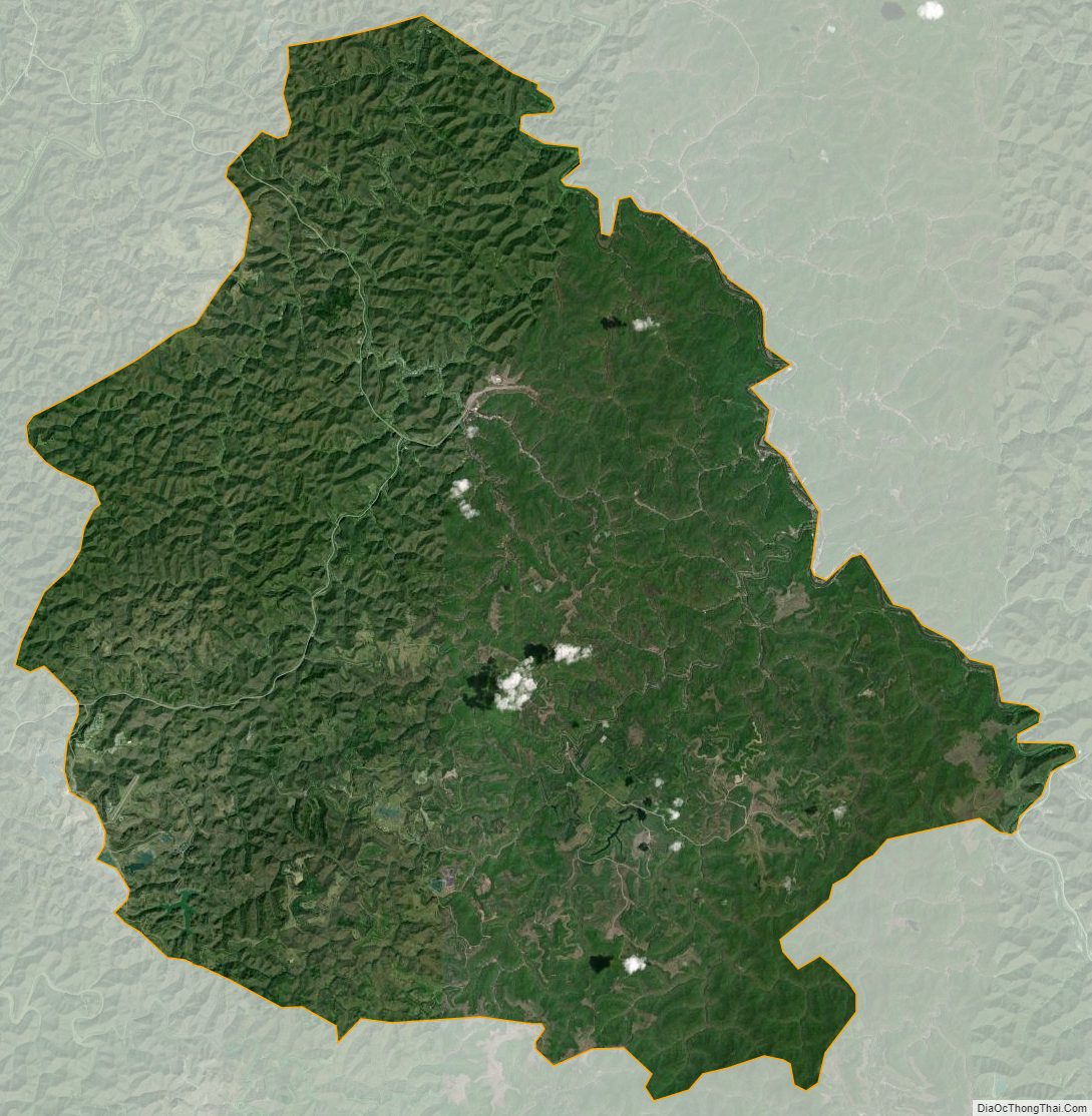
Martin County Satellite Map
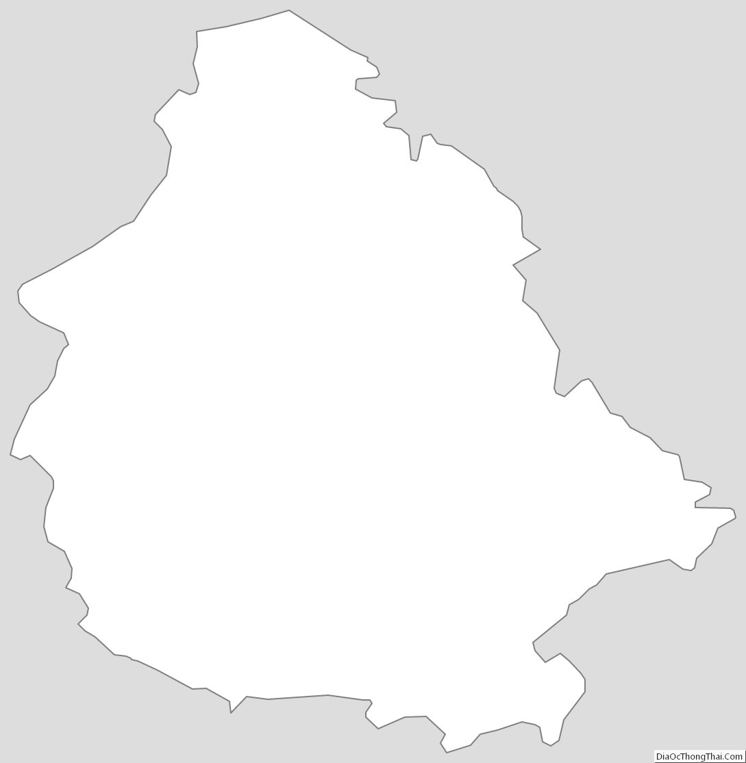
Martin County Outline Map