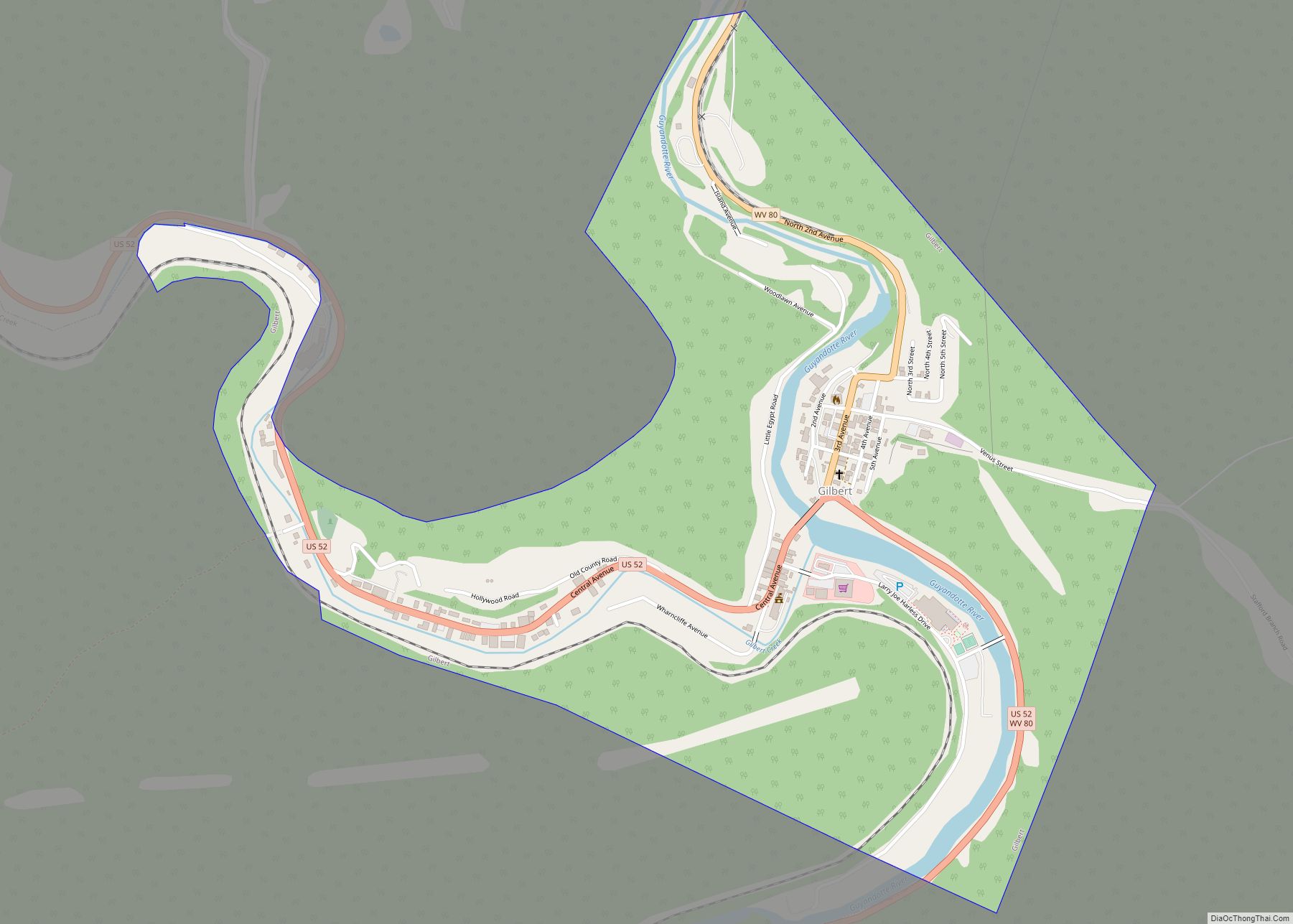
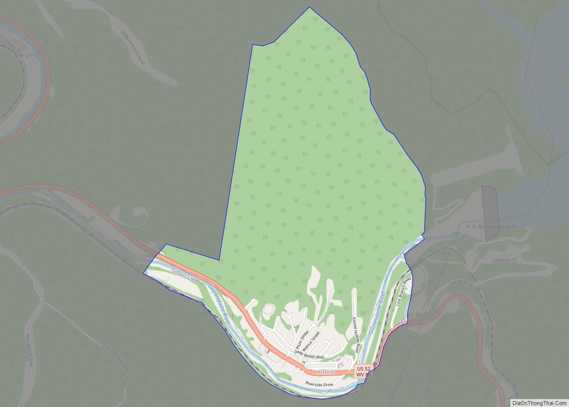
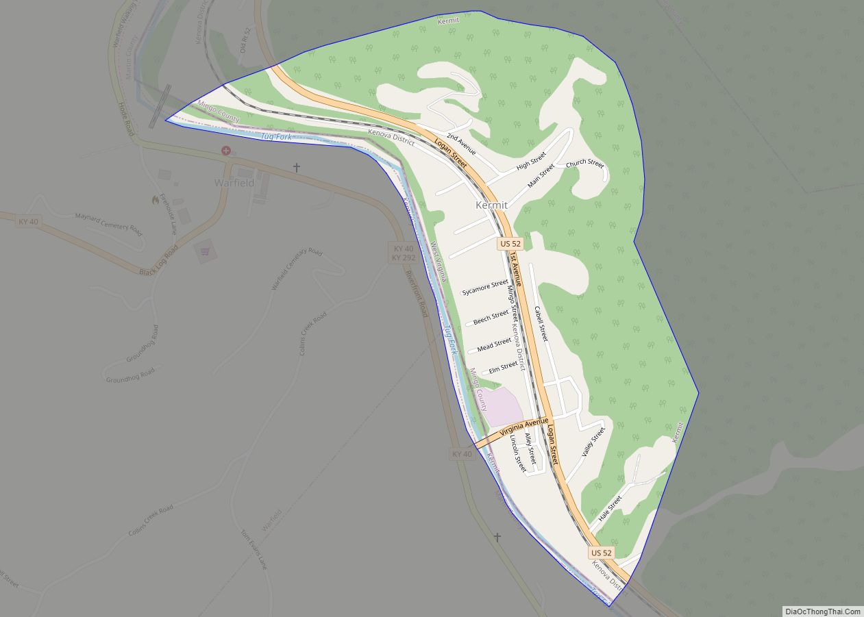
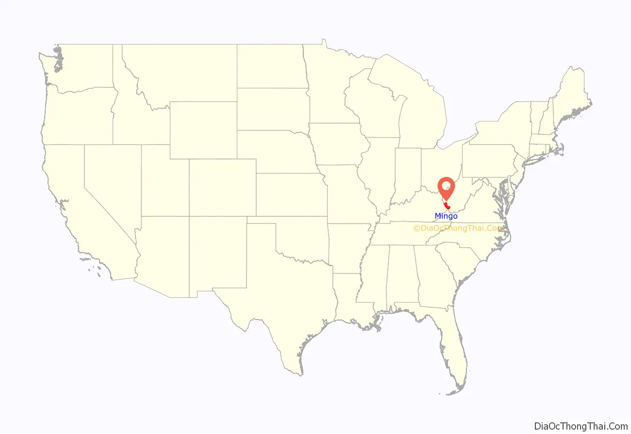
Mingo County is a county in the U.S. state of West Virginia. As of the 2020 census, the population was 23,568. Its county seat and largest city is Williamson. Created in 1895, Mingo is West Virginia’s newest county, named for the historic Iroquoian Mingo people.
| Name: | Mingo County |
|---|---|
| FIPS code: | 54-059 |
| State: | West Virginia |
| Founded: | January 30, 1895 |
| Named for: | Mingo people |
| Seat: | Williamson |
| Largest city: | Williamson |
| Total Area: | 424 sq mi (1,100 km²) |
| Land Area: | 423 sq mi (1,100 km²) |
| Total Population: | 23,568 |
| Population Density: | 56/sq mi (21/km²) |
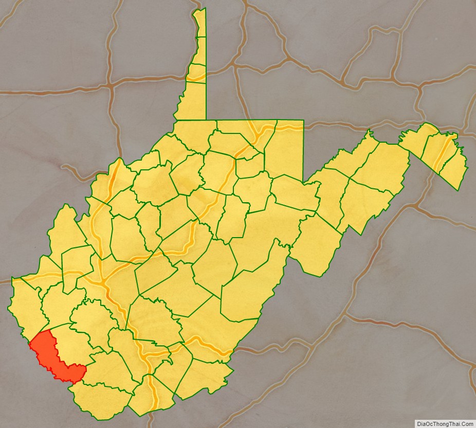
Mingo County location map. Where is Mingo County?
History
Mingo County is West Virginia’s newest county, formed by an act of the state legislature in 1895 from parts of Logan County. The county was named for the Mingo Indians.
At the time of its creation, Mingo County was divided into magisterial districts, which the United States Census Bureau classifies as a type of non-functional subdivision serving purely administrative purposes. After West Virginia’s establishment in 1863, its counties were initially divided into civil townships, with the intent to encourage local government. This proved impractical in the heavily rural state, and in 1872 the townships were converted into magisterial districts.
Mingo County’s five original districts were Hardee, Harvey, Lee, Magnolia, and Stafford. As West Virginia’s only county established after 1871, Mingo is unique in never having been divided into townships, but Hardee, Lee, and Magnolia districts were formerly districts in Logan County, and Hardee and Magnolia were townships until 1872.
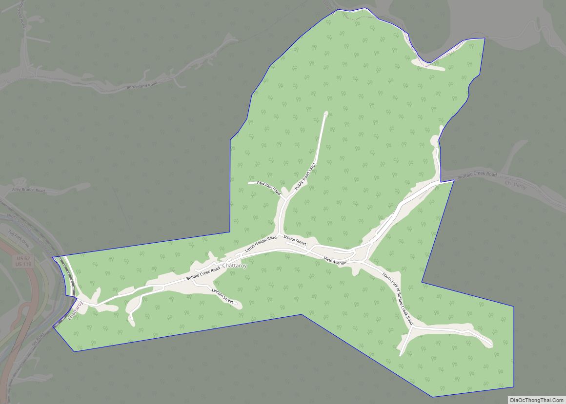
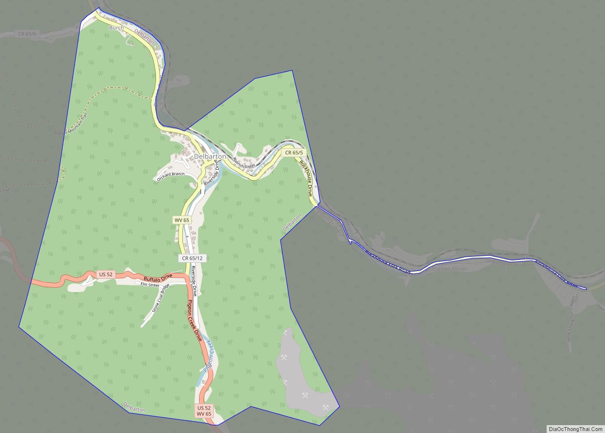
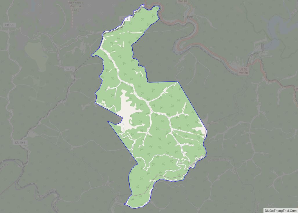
A sixth district, Warfield, was created from part of Harvey District in 1906, followed by the formation of Williamson District from part of Lee in 1908; Williamson District was coextensive with the City of Williamson. In the 1920s, Warfield District was renamed Kermit, after its chief town. An eighth district, Tug River, was formed from part of Lee District in 1947. Mingo County was redistricted in 2005, at which time Hardee and Tug River Districts were consolidated to form Tug Hardee, and Harvey and Kermit were consolidated to form Kermit Harvey.
The attempt to unionize coal miners in the county in the 1920s led to the Battle of Blair Mountain in neighboring Logan County.
Mingo County is well known for its opposition to former President Barack Obama. In 2008, Obama received only 8% of the vote in the Democratic primary, one of his worst performances nationwide. In 2012, Keith Russell Judd, a convicted felon who was the only other candidate on the ballot, received more Mingo County primary votes than Obama.
In 2014 Mingo County native Jeremy T. K. Farley published The Ghosts of Mingo County, based on the real-life story of Timmy Barker, a history of what Farley called “the bloodiest county in America.” The book met with mixed reviews; some residents said it portrayed the county as too lawless, while others believed the book told the county’s history accurately.
In 2016 Mingo County was “one of the places in America most touched by opioids.”
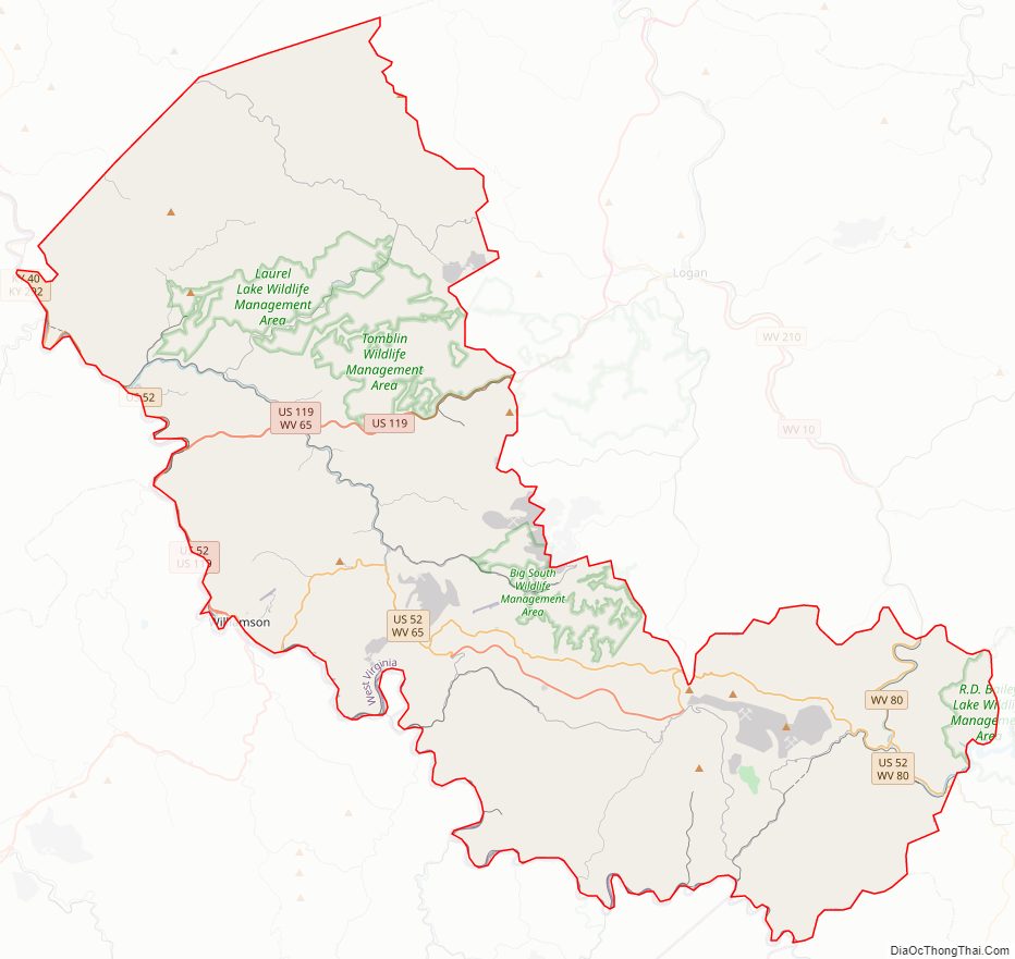
Mingo County Road Map
Geography
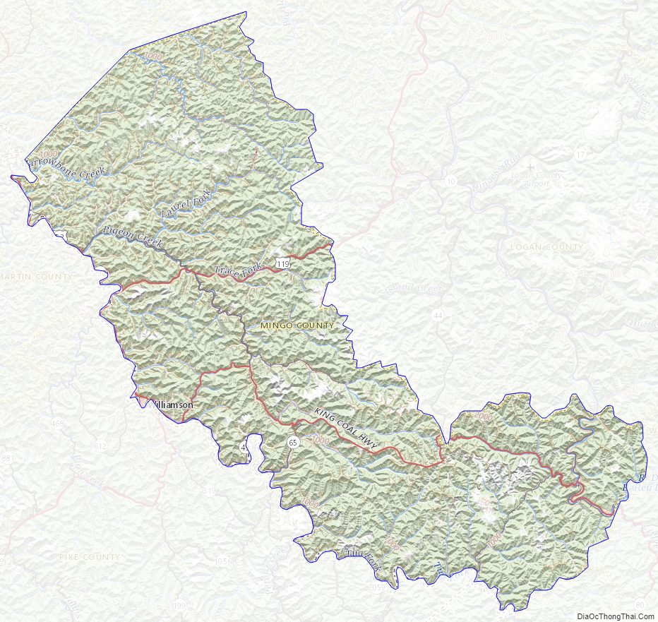
According to the United States Census Bureau, the county has a total area of 424 square miles (1,100 km), of which 423 square miles (1,100 km) is land and 0.9 square miles (2.3 km) (0.2%) is water.
Major highways
- I-73 (future)
- I-74 (future)
- U.S. Highway 52
- U.S. Highway 119
- West Virginia Route 49
- West Virginia Route 65
- West Virginia Route 80
Adjacent counties
- Lincoln County (north)
- Logan County (northeast)
- Wyoming County (east)
- McDowell County (southeast)
- Pike County, Kentucky (west)
- Martin County, Kentucky (west)
- Wayne County (northwest)
- Buchanan County, Virginia (southeast)
Mingo County Topographic Map
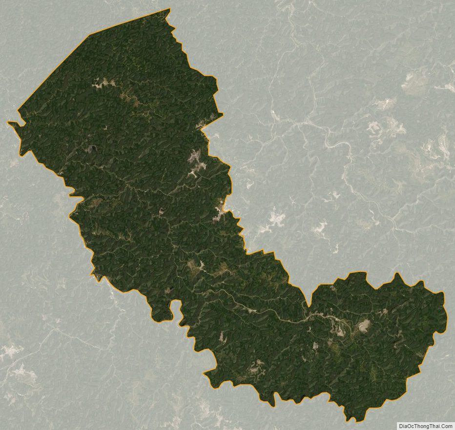
Mingo County Satellite Map
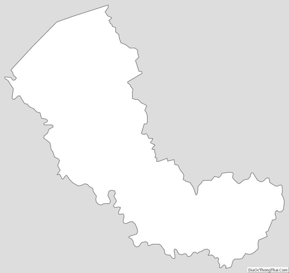
Mingo County Outline Map