Inez (/ˈaɪnəz/ EYE-nəz) is a home rule-class city in and the county seat of Martin County, Kentucky, United States. The population was 546 at the 2020 census.
| Name: | Inez city |
|---|---|
| LSAD Code: | 25 |
| LSAD Description: | city (suffix) |
| State: | Kentucky |
| County: | Martin County |
| Incorporated: | February 5, 1942 |
| Elevation: | 636 ft (194 m) |
| Total Area: | 1.72 sq mi (4.46 km²) |
| Land Area: | 1.72 sq mi (4.46 km²) |
| Water Area: | 0.00 sq mi (0.00 km²) |
| Total Population: | 546 |
| Population Density: | 316.89/sq mi (122.38/km²) |
| ZIP code: | 41224 |
| Area code: | 606 |
| FIPS code: | 2139430 |
| GNISfeature ID: | 0494986 |
| Website: | inez.ky.gov |
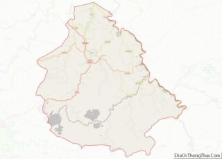
Online Interactive Map
Click on ![]() to view map in "full screen" mode.
to view map in "full screen" mode.
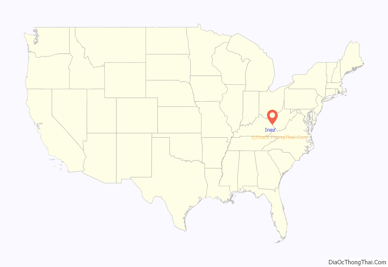
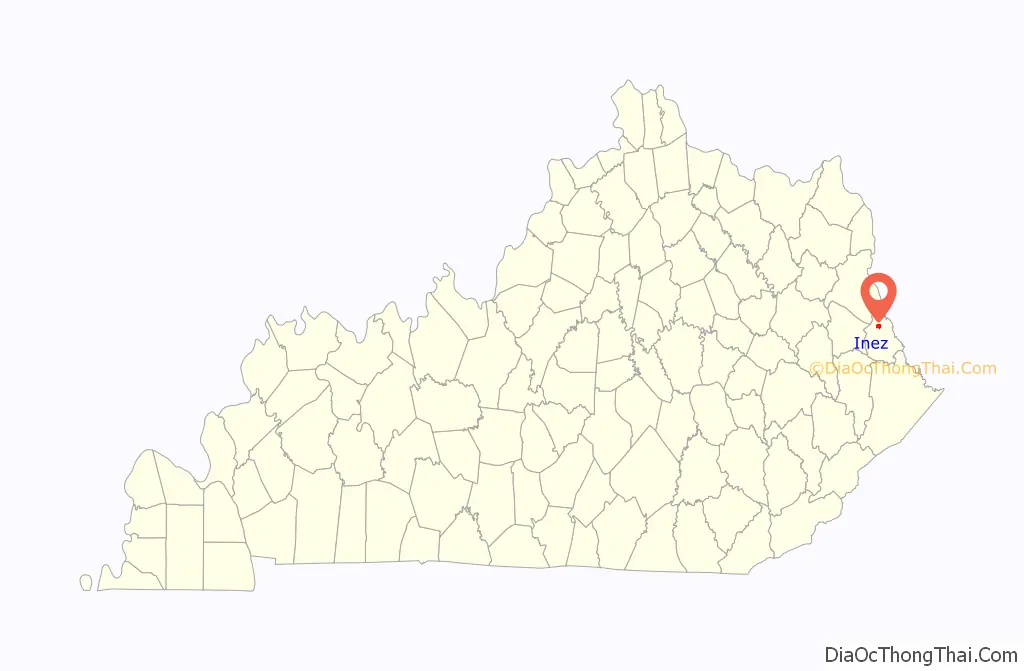
Inez location map. Where is Inez city?
History
James Ward first settled the area about 1810; originally, it was named Arminta Ward’s Bottom. J.M. Stepp renamed it Eden about the time it became the seat of government for Martin County in 1873. As there was already a post office named Eden, Kentucky, the local postmaster was obliged to rename the town on June 23, 1874. The name is usually held to have been derived from that of Inez Frank, daughter of the Louisa, Kentucky postmaster in neighboring Lawrence County.
Lincoln County Feud
The Lincoln County Feud occurred in Lincoln County, West Virginia, during the 1880s. In October 1889, Milt Haley and Green McCoy, two West Virginia fugitives, were captured and subsequently held at the Martin County Jail. A West Virginia posse captured Haley and McCoy and lynched them at Green Shoal near Harts, West Virginia. In March 1995, songwriter and musician John Hartford and historian/author Brandon Kirk visited Inez as part of their research on the feud.
Presidential visit
President Lyndon B. Johnson visited Inez in 1964, landing by helicopter with his party at an abandoned miniature golf course, to promote the War on Poverty. According to a 2014 NPR article, the poverty rate at the time was more than 60 percent.
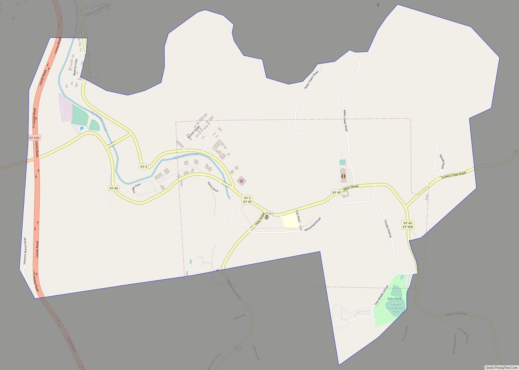
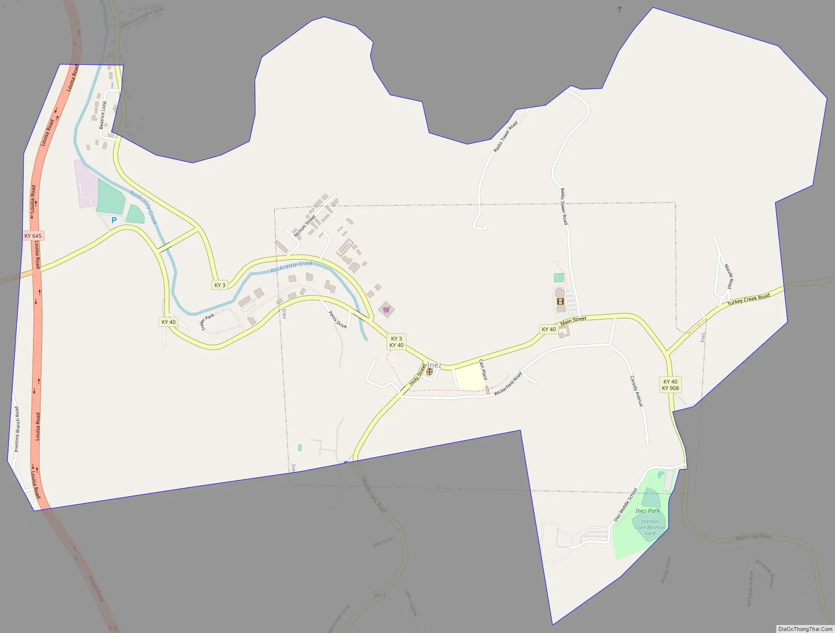
Inez Road Map
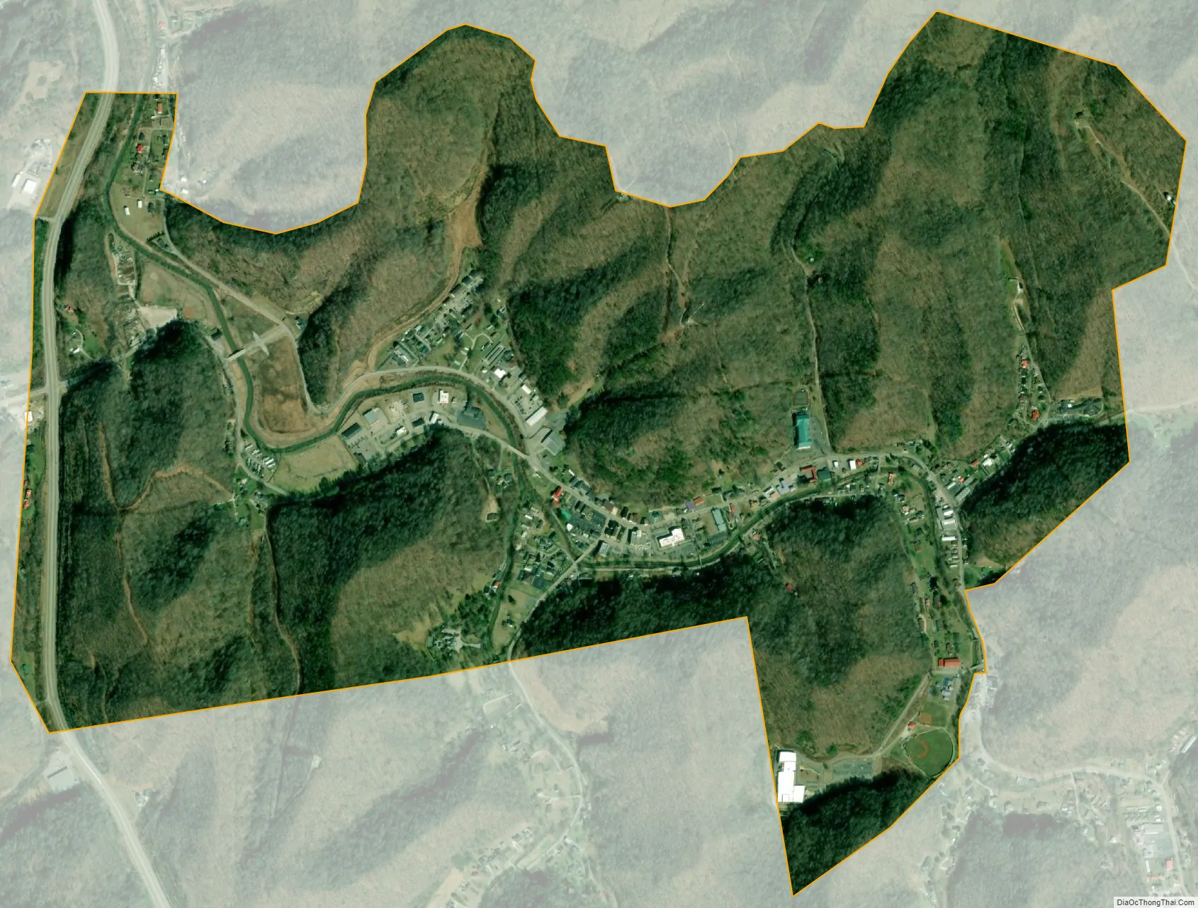
Inez city Satellite Map
Geography
Inez is located at 37°51′59″N 82°32′21″W / 37.86639°N 82.53917°W / 37.86639; -82.53917 (37.866431, -82.539058). According to the United States Census Bureau, the city has an area of 0.7 square miles (1.8 km), all land.
See also
Map of Kentucky State and its subdivision:- Adair
- Allen
- Anderson
- Ballard
- Barren
- Bath
- Bell
- Boone
- Bourbon
- Boyd
- Boyle
- Bracken
- Breathitt
- Breckinridge
- Bullitt
- Butler
- Caldwell
- Calloway
- Campbell
- Carlisle
- Carroll
- Carter
- Casey
- Christian
- Clark
- Clay
- Clinton
- Crittenden
- Cumberland
- Daviess
- Edmonson
- Elliott
- Estill
- Fayette
- Fleming
- Floyd
- Franklin
- Fulton
- Gallatin
- Garrard
- Grant
- Graves
- Grayson
- Green
- Greenup
- Hancock
- Hardin
- Harlan
- Harrison
- Hart
- Henderson
- Henry
- Hickman
- Hopkins
- Jackson
- Jefferson
- Jessamine
- Johnson
- Kenton
- Knott
- Knox
- Larue
- Laurel
- Lawrence
- Lee
- Leslie
- Letcher
- Lewis
- Lincoln
- Livingston
- Logan
- Lyon
- Madison
- Magoffin
- Marion
- Marshall
- Martin
- Mason
- McCracken
- McCreary
- McLean
- Meade
- Menifee
- Mercer
- Metcalfe
- Monroe
- Montgomery
- Morgan
- Muhlenberg
- Nelson
- Nicholas
- Ohio
- Oldham
- Owen
- Owsley
- Pendleton
- Perry
- Pike
- Powell
- Pulaski
- Robertson
- Rockcastle
- Rowan
- Russell
- Scott
- Shelby
- Simpson
- Spencer
- Taylor
- Todd
- Trigg
- Trimble
- Union
- Warren
- Washington
- Wayne
- Webster
- Whitley
- Wolfe
- Woodford
- Alabama
- Alaska
- Arizona
- Arkansas
- California
- Colorado
- Connecticut
- Delaware
- District of Columbia
- Florida
- Georgia
- Hawaii
- Idaho
- Illinois
- Indiana
- Iowa
- Kansas
- Kentucky
- Louisiana
- Maine
- Maryland
- Massachusetts
- Michigan
- Minnesota
- Mississippi
- Missouri
- Montana
- Nebraska
- Nevada
- New Hampshire
- New Jersey
- New Mexico
- New York
- North Carolina
- North Dakota
- Ohio
- Oklahoma
- Oregon
- Pennsylvania
- Rhode Island
- South Carolina
- South Dakota
- Tennessee
- Texas
- Utah
- Vermont
- Virginia
- Washington
- West Virginia
- Wisconsin
- Wyoming