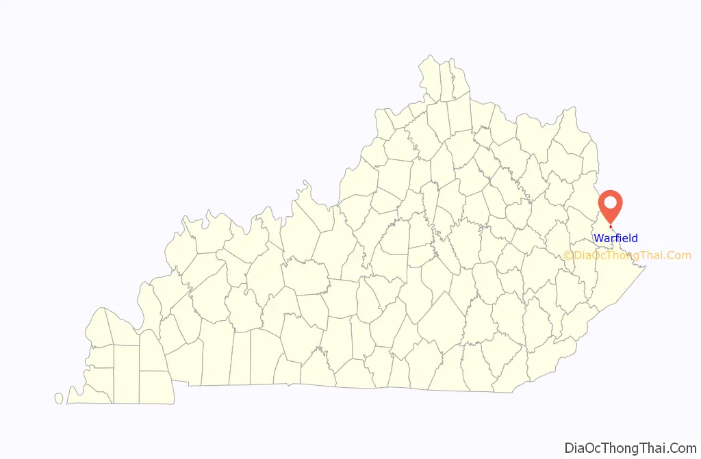
Warfield is a home rule-class city in Martin County, Kentucky, United States. The population was 264 at the 2020 census.
| Name: | Warfield city |
|---|---|
| LSAD Code: | 25 |
| LSAD Description: | city (suffix) |
| State: | Kentucky |
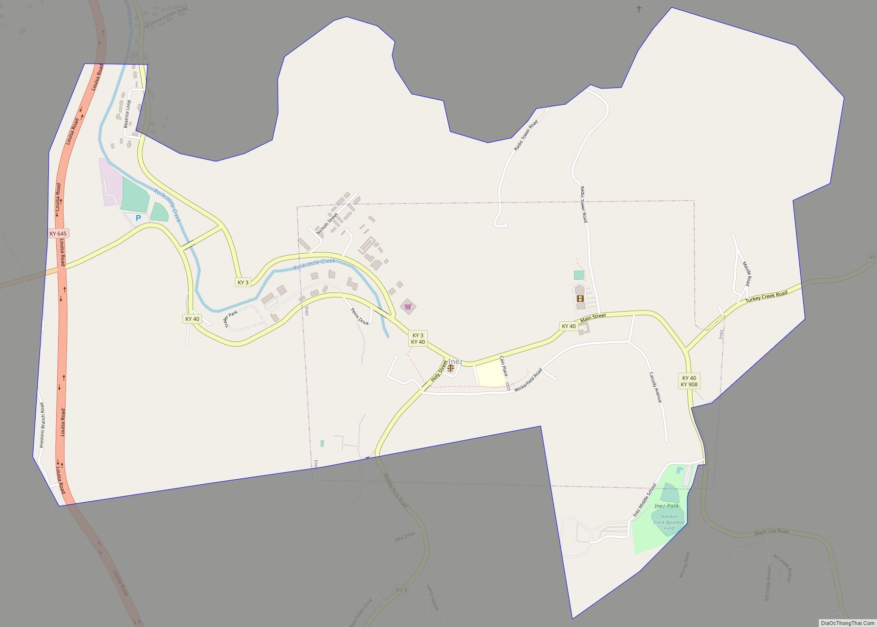
| County: | Martin County |
| Incorporated: | May 5, 1982 |
| Elevation: | 630 ft (192 m) |
| Total Area: | 0.84 sq mi (2.17 km²) |
| Land Area: | 0.82 sq mi (2.14 km²) |
| Water Area: | 0.01 sq mi (0.03 km²) |
| Total Population: | 264 |
| Population Density: | 320.00/sq mi (123.55/km²) |
| ZIP code: | 41267 |
| Area code: | 606 |
| FIPS code: | 2180616 |
| GNISfeature ID: | 0506226 |
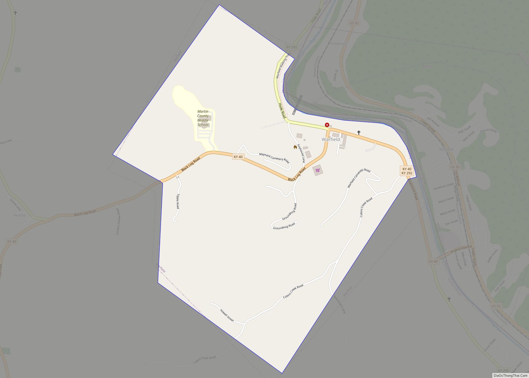
Online Interactive Map
Click on ![]() to view map in "full screen" mode.
to view map in "full screen" mode.
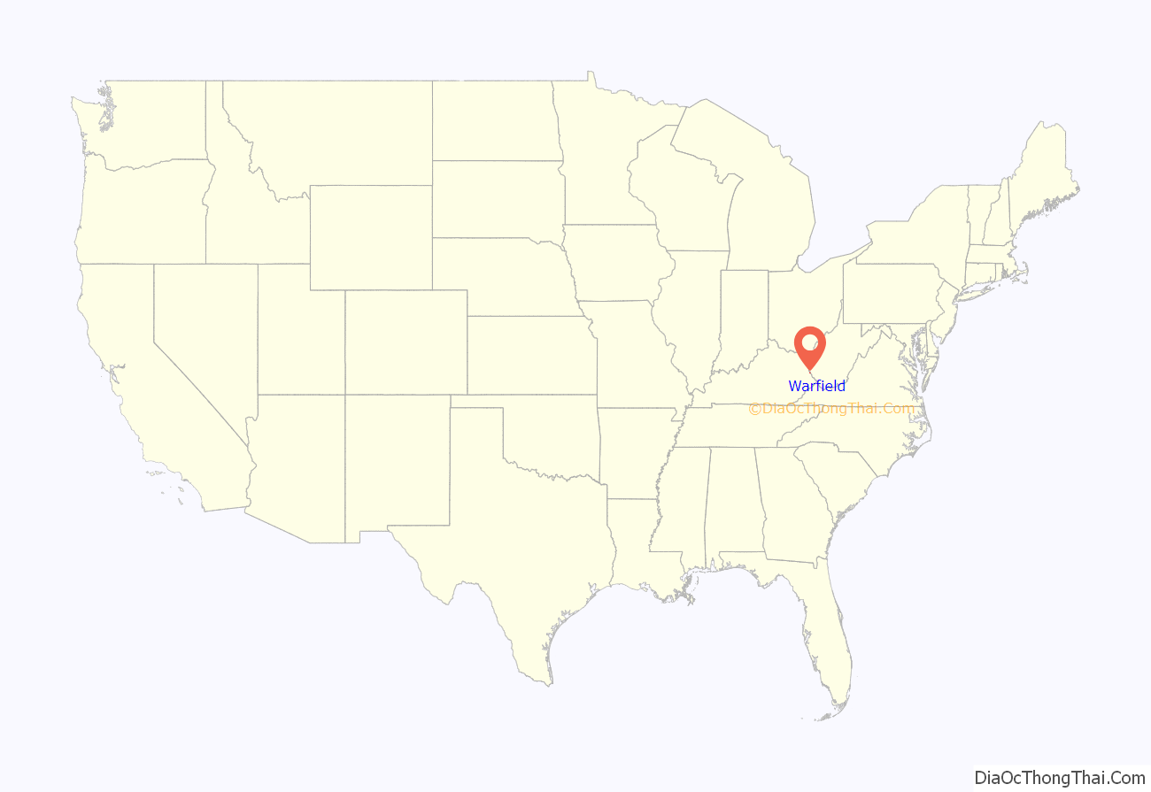
Warfield location map. Where is Warfield city?
History
The city of Warfield developed in the early 1850s after a salt works was established by George Rogers Clark Floyd and John Warfield of Virginia. The post office was established on April 15, 1856, and was named after the latter of the two men. Floyd further developed the city as the shipping point for his coal mine, the first to open in future Martin County. Warfield served as the county seat from 1870 to 1873, when it was moved to Inez.
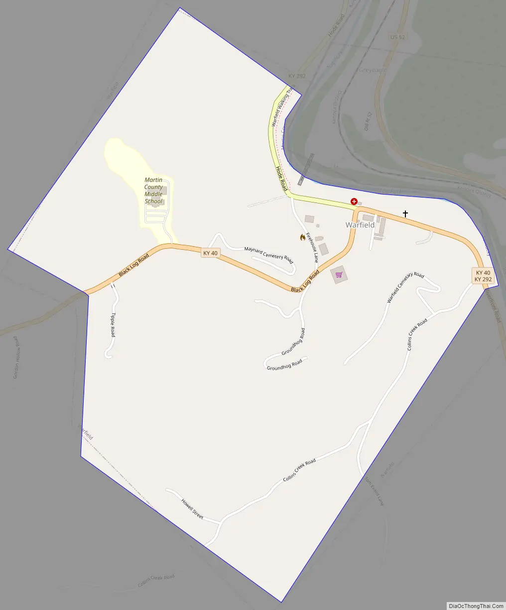
Warfield Road Map
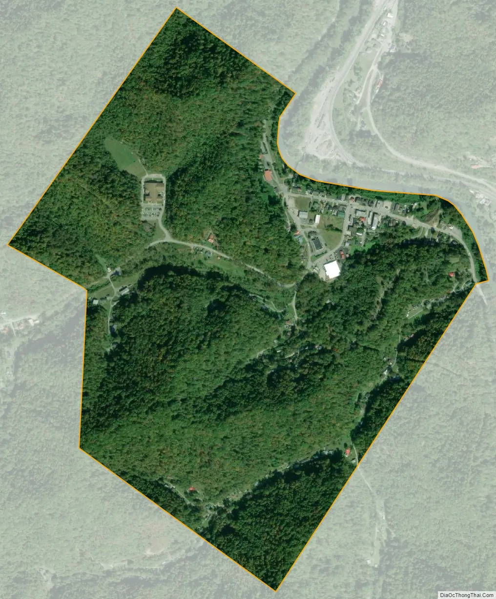
Warfield city Satellite Map
Geography
Warfield is located in eastern Martin County at 37°50′34″N 82°25′15″W / 37.84278°N 82.42083°W / 37.84278; -82.42083 (37.842799, -82.420766). The town lies along the west bank of the Tug Fork, which is the boundary between Kentucky and West Virginia. The town of Kermit, West Virginia, lies across the river to the east. The two cities are connected by a vehicular bridge and an abandoned railroad bridge. Just west of Warfield lies the community of Beauty.
Warfield is concentrated around the intersection of Kentucky Route 40 and Kentucky Route 292. KY 40 leads west 9 miles (14 km) to Inez and 32 miles (51 km) to Paintsville. KY 292 runs roughly north to south alongside the Tug Fork: Louisa is 31 miles (50 km) to the north (downstream), while Williamson, West Virginia, is 20 miles (32 km) to the southeast (upstream).
According to the United States Census Bureau, Warfield has a total area of 0.84 square miles (2.18 km), of which 0.01 square miles (0.03 km), or 1.32%, are water.
See also
Map of Kentucky State and its subdivision:- Adair
- Allen
- Anderson
- Ballard
- Barren
- Bath
- Bell
- Boone
- Bourbon
- Boyd
- Boyle
- Bracken
- Breathitt
- Breckinridge
- Bullitt
- Butler
- Caldwell
- Calloway
- Campbell
- Carlisle
- Carroll
- Carter
- Casey
- Christian
- Clark
- Clay
- Clinton
- Crittenden
- Cumberland
- Daviess
- Edmonson
- Elliott
- Estill
- Fayette
- Fleming
- Floyd
- Franklin
- Fulton
- Gallatin
- Garrard
- Grant
- Graves
- Grayson
- Green
- Greenup
- Hancock
- Hardin
- Harlan
- Harrison
- Hart
- Henderson
- Henry
- Hickman
- Hopkins
- Jackson
- Jefferson
- Jessamine
- Johnson
- Kenton
- Knott
- Knox
- Larue
- Laurel
- Lawrence
- Lee
- Leslie
- Letcher
- Lewis
- Lincoln
- Livingston
- Logan
- Lyon
- Madison
- Magoffin
- Marion
- Marshall
- Martin
- Mason
- McCracken
- McCreary
- McLean
- Meade
- Menifee
- Mercer
- Metcalfe
- Monroe
- Montgomery
- Morgan
- Muhlenberg
- Nelson
- Nicholas
- Ohio
- Oldham
- Owen
- Owsley
- Pendleton
- Perry
- Pike
- Powell
- Pulaski
- Robertson
- Rockcastle
- Rowan
- Russell
- Scott
- Shelby
- Simpson
- Spencer
- Taylor
- Todd
- Trigg
- Trimble
- Union
- Warren
- Washington
- Wayne
- Webster
- Whitley
- Wolfe
- Woodford
- Alabama
- Alaska
- Arizona
- Arkansas
- California
- Colorado
- Connecticut
- Delaware
- District of Columbia
- Florida
- Georgia
- Hawaii
- Idaho
- Illinois
- Indiana
- Iowa
- Kansas
- Kentucky
- Louisiana
- Maine
- Maryland
- Massachusetts
- Michigan
- Minnesota
- Mississippi
- Missouri
- Montana
- Nebraska
- Nevada
- New Hampshire
- New Jersey
- New Mexico
- New York
- North Carolina
- North Dakota
- Ohio
- Oklahoma
- Oregon
- Pennsylvania
- Rhode Island
- South Carolina
- South Dakota
- Tennessee
- Texas
- Utah
- Vermont
- Virginia
- Washington
- West Virginia
- Wisconsin
- Wyoming