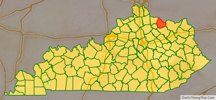
Mason County is a county located in the U.S. state of Kentucky. As of the 2020 census, the population was 17,120. Its county seat is Maysville. The county was created from Bourbon County, Virginia in 1788 and named for George Mason, a Virginia delegate to the U.S. Constitutional Convention known as the “Father of the Bill of Rights”. Mason County comprises the Maysville, KY Micropolitan Statistical Area, which is included in the Cincinnati-Wilmington-Maysville, OH-KY-IN Combined Statistical Area.
| Name: | Mason County |
|---|---|
| FIPS code: | 21-161 |
| State: | Kentucky |
| Founded: | 1788 |
| Named for: | George Mason |
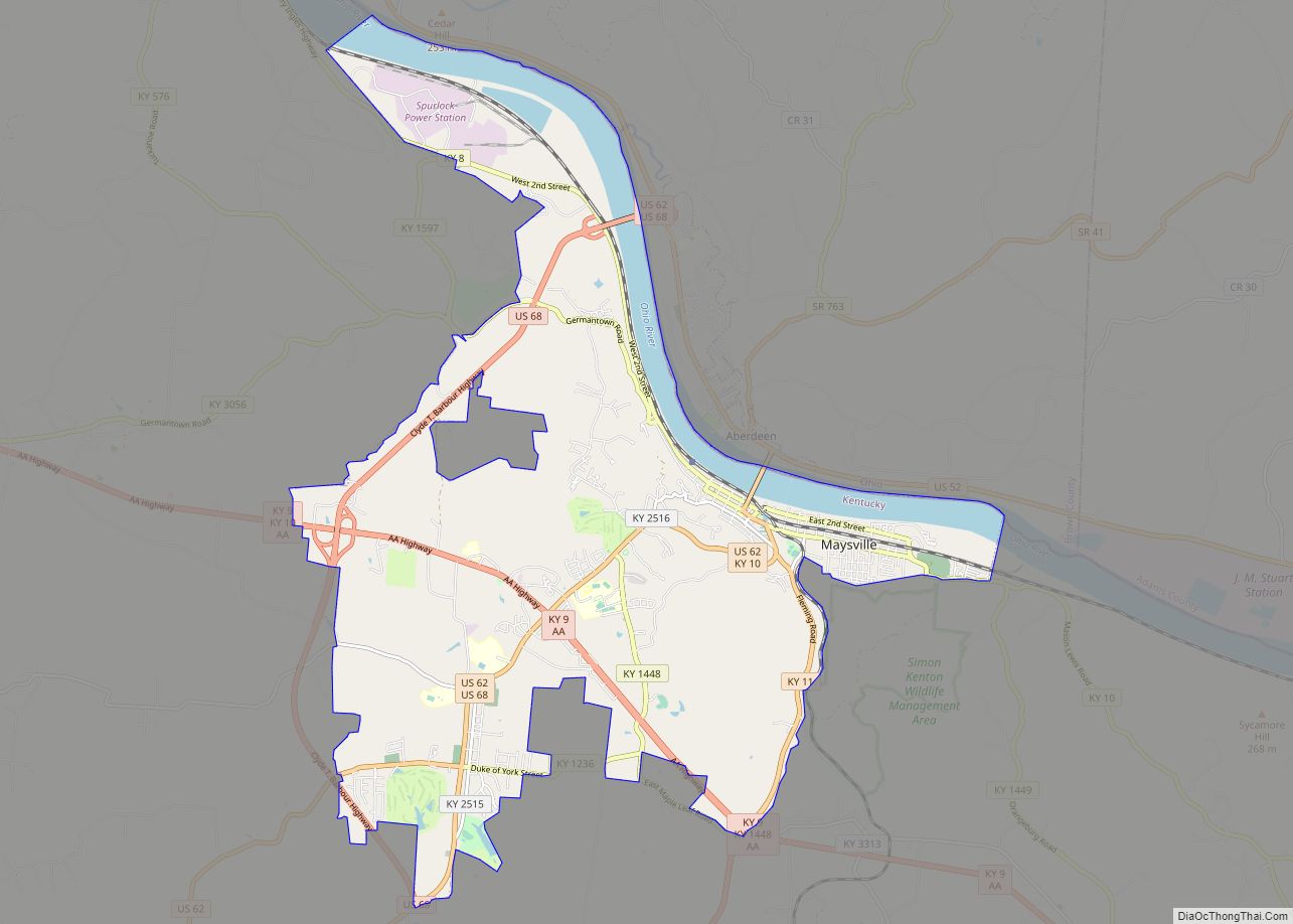
| Seat: | Maysville |
| Largest city: | Maysville |
| Total Area: | 246 sq mi (640 km²) |
| Land Area: | 240 sq mi (600 km²) |
| Total Population: | 17,120 |
| Population Density: | 70/sq mi (27/km²) |
| Time zone: | UTC−5 (Eastern) |
| Summer Time Zone (DST): | UTC−4 (EDT) |
| Website: | masoncountykentucky.us |
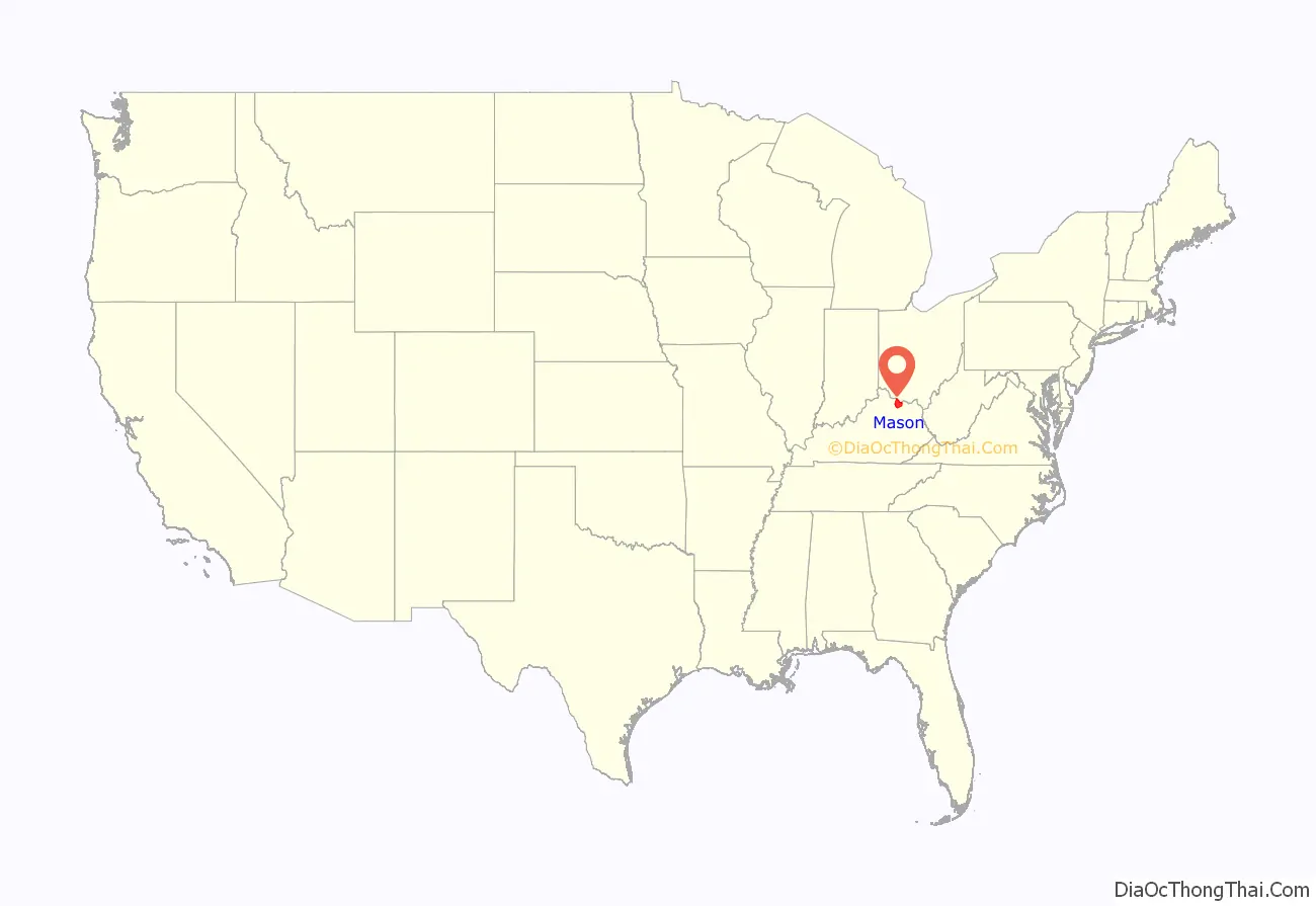
Mason County location map. Where is Mason County?
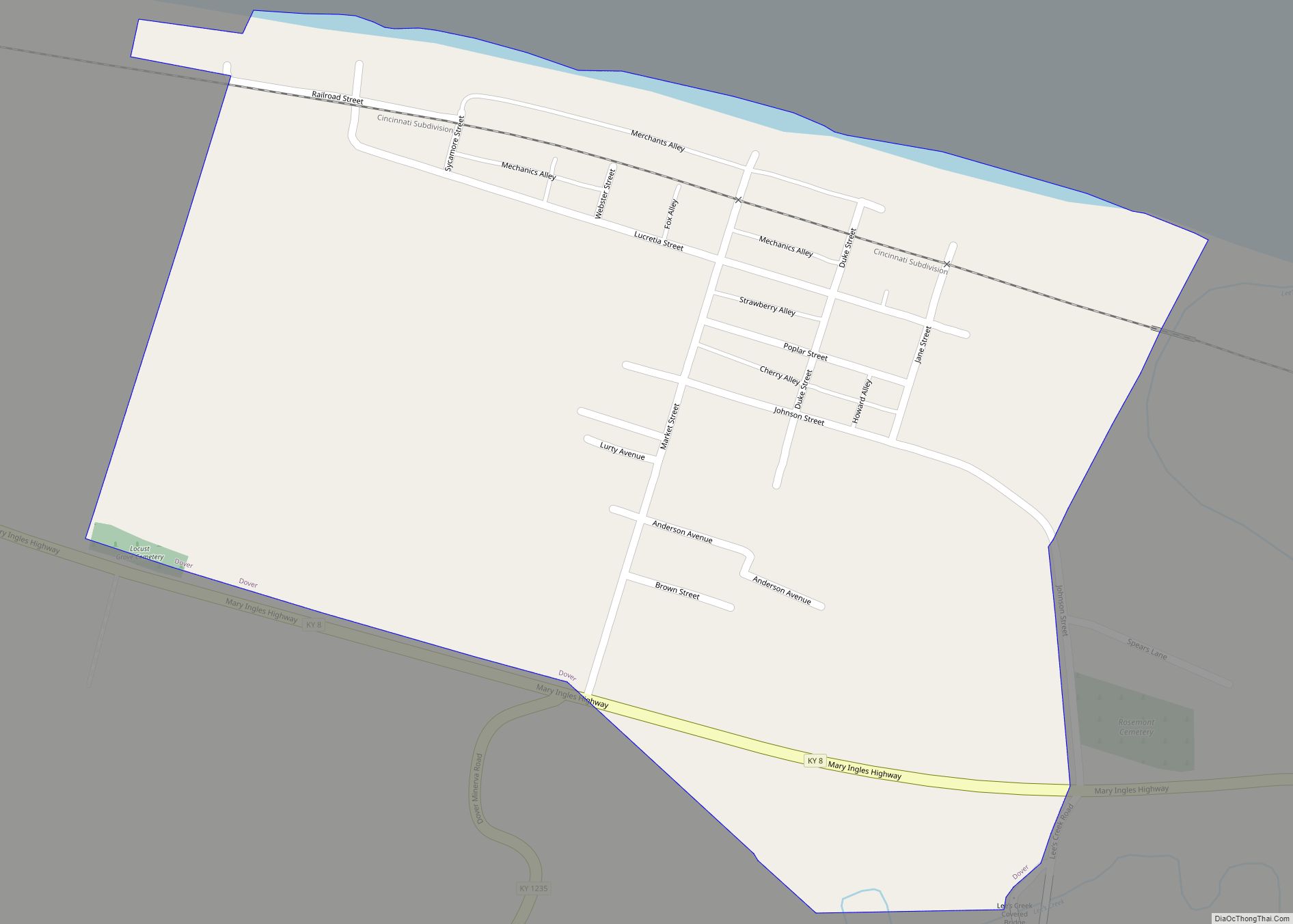
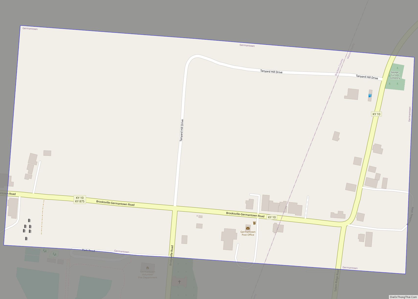
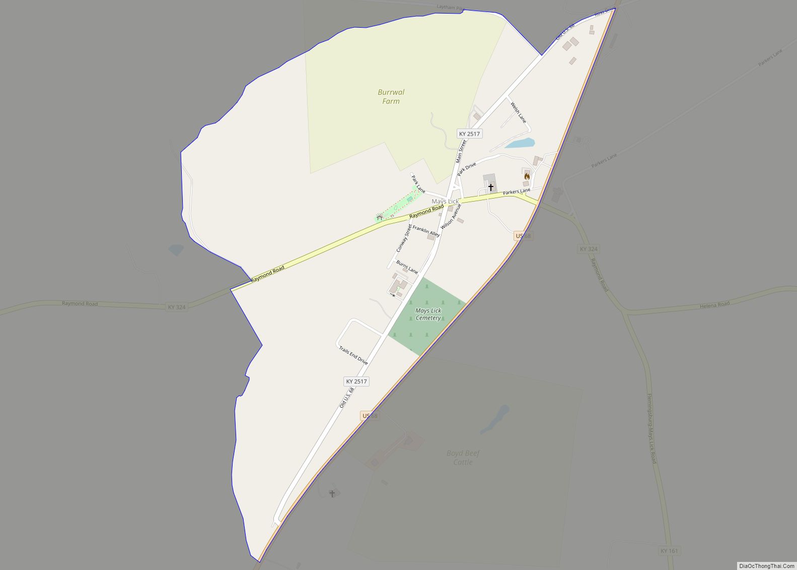
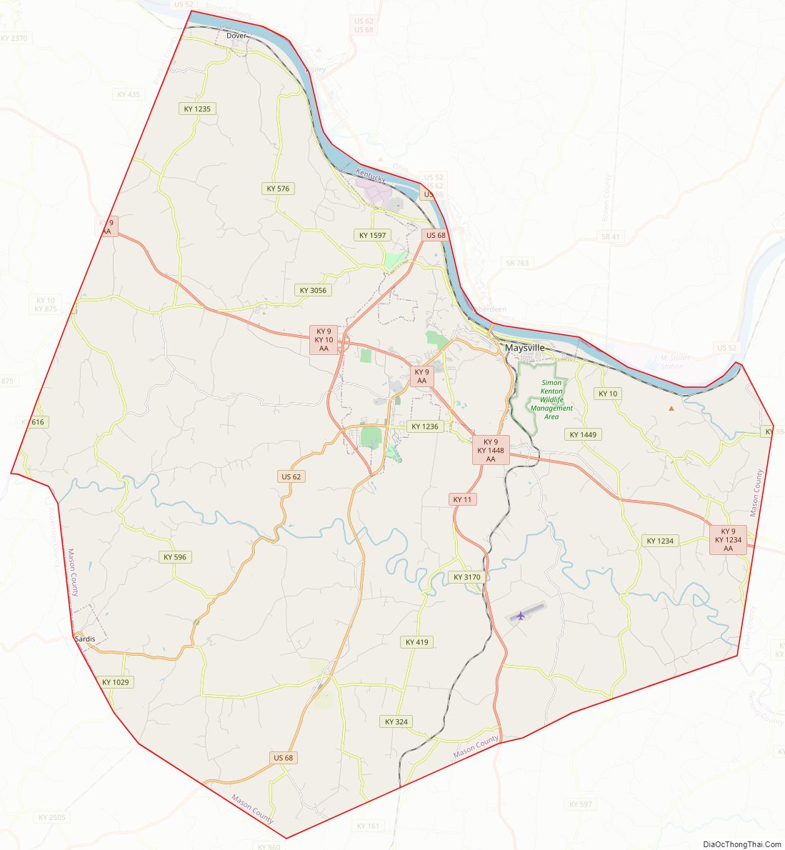
Mason County Road Map

Geography
According to the United States Census Bureau, the county has a total area of 246 square miles (640 km), of which 240 square miles (620 km) is land and 6.3 square miles (16 km) (2.6%) is water. The county’s northern border with Ohio is formed by the Ohio River.
Adjacent counties
- Brown County, Ohio (north)
- Adams County, Ohio (northeast)
- Lewis County (east)
- Fleming County (south)
- Robertson County (southwest)
- Bracken County (west)
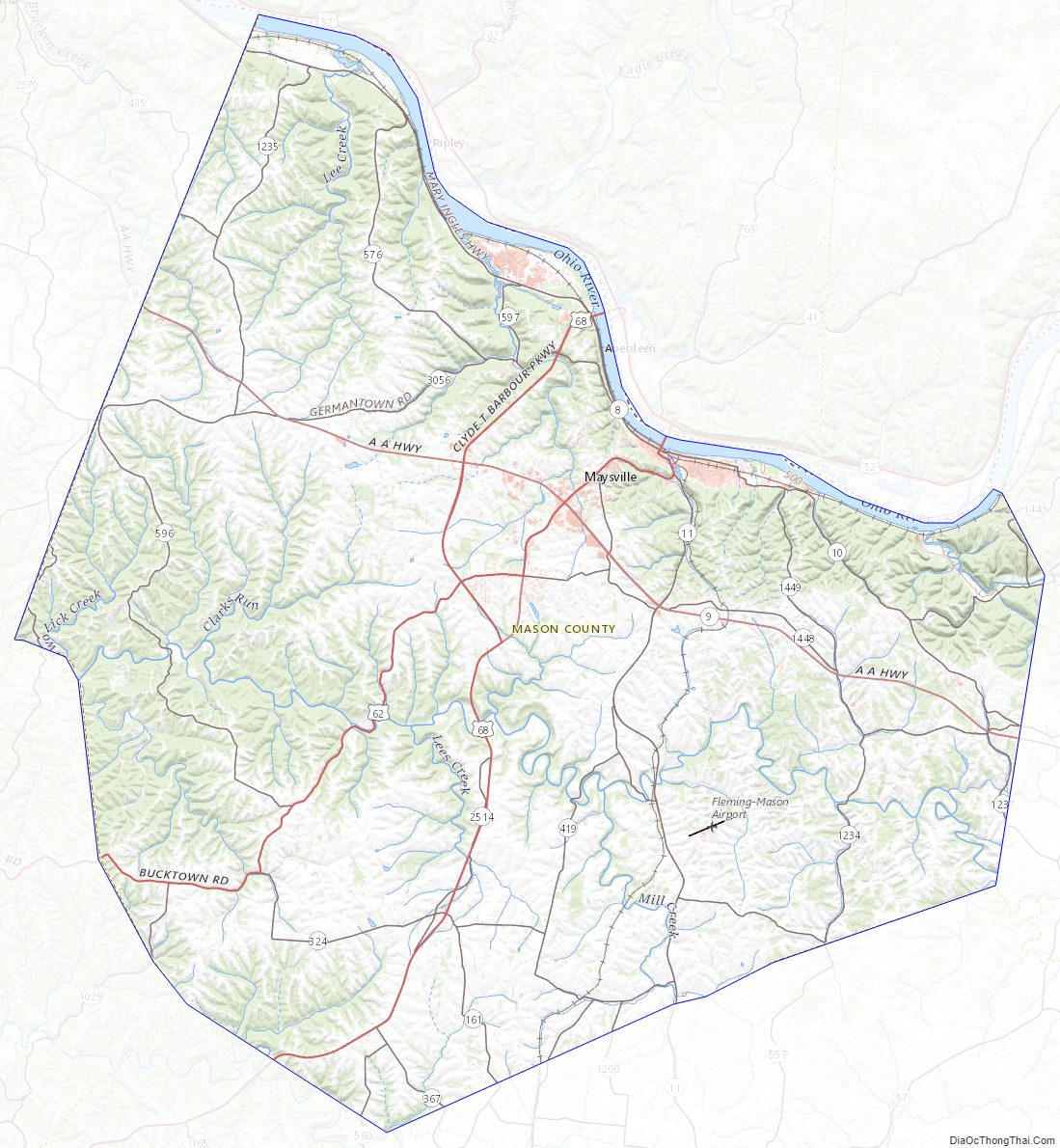
Mason County Topographic Map
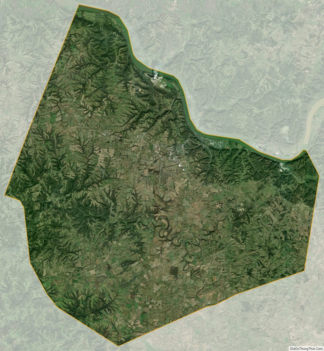
Mason County Satellite Map
Mason County Outline Map