McPherson County is a county in the U.S. state of South Dakota. As of the 2020 census, the population was 2,411. Its county seat is Leola.
| Name: | McPherson County |
|---|---|
| FIPS code: | 46-089 |
| State: | South Dakota |
| Founded: | 1873 (created) 1884 (organized) |
| Named for: | James B. McPherson |
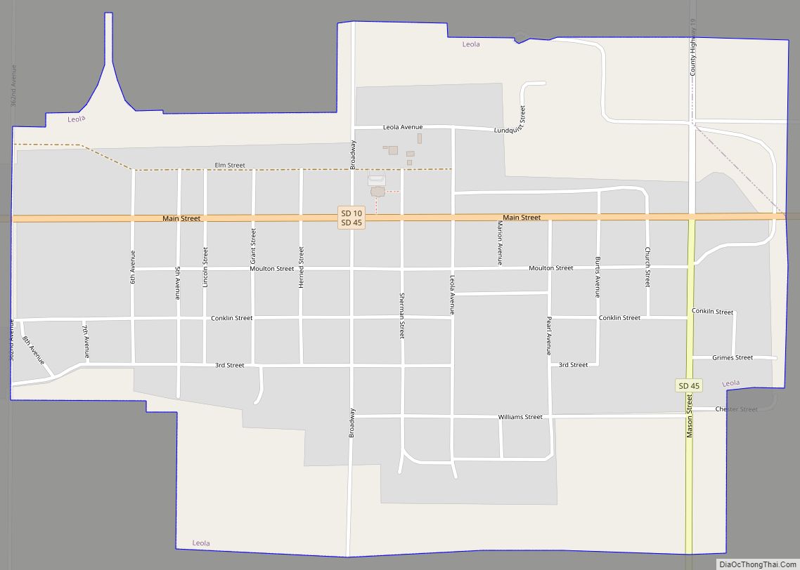
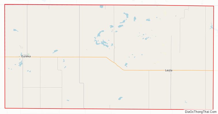
| Seat: | Leola |
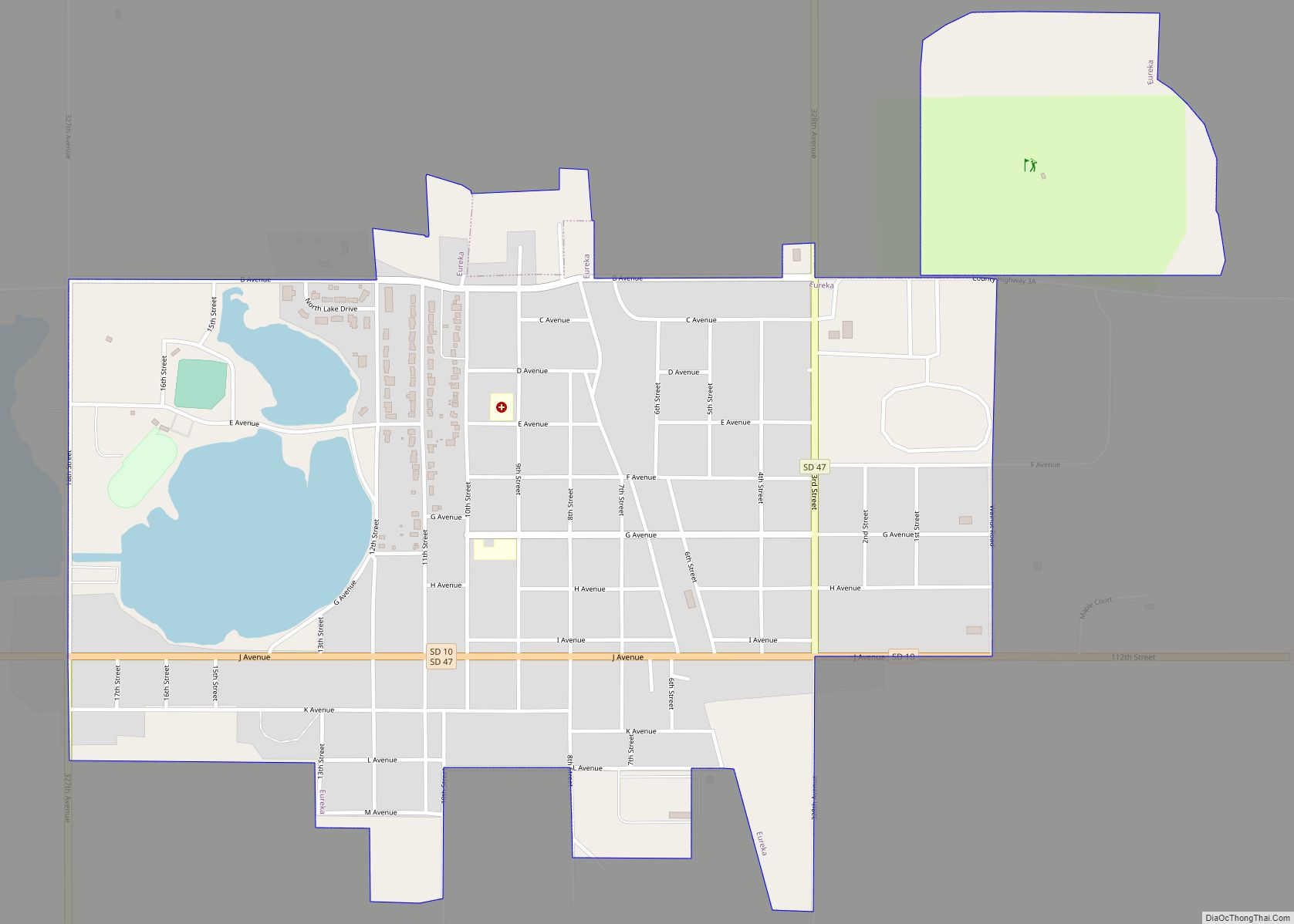
| Largest city: | Eureka |
| Total Area: | 1,152 sq mi (2,980 km²) |
| Land Area: | 1,137 sq mi (2,940 km²) |
| Total Population: | 2,411 |
| Population Density: | 2.1/sq mi (0.81/km²) |
| Time zone: | UTC−6 (Central) |
| Summer Time Zone (DST): | UTC−5 (CDT) |
| Website: | mcpherson.sdcounties.org |
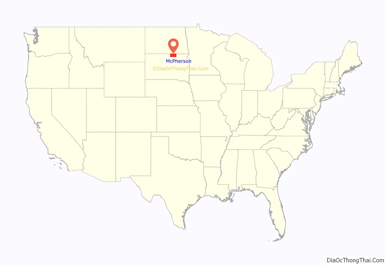
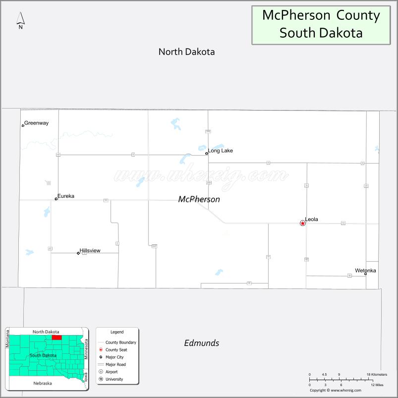
McPherson County location map. Where is McPherson County?
History
The county was created in 1873 and organized in 1884. It is named for American Civil War General James B. McPherson.
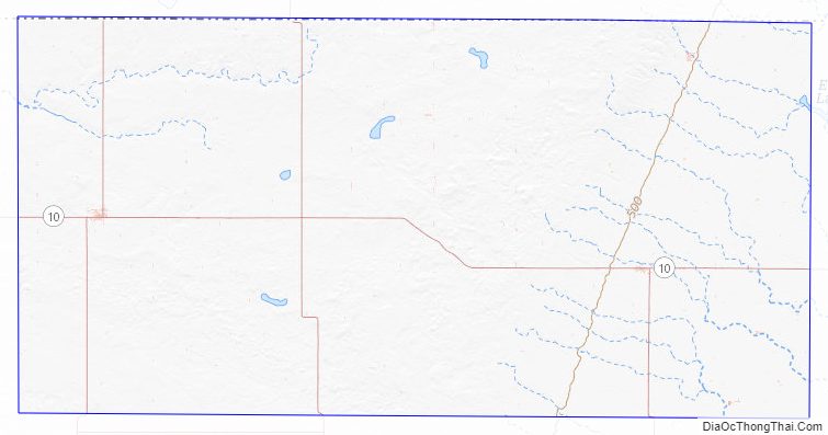
McPherson County Road Map
Geography
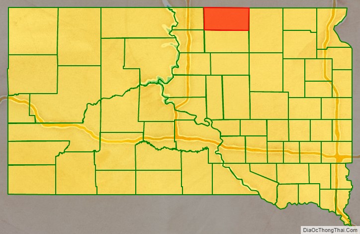
McPherson County lies on the north line of South Dakota. The north boundary line of McPherson County abuts the south boundary line of the state of North Dakota. Its terrain consists of rolling hills, largely devoted to agriculture, and dotted with small lakes and ponds. The terrain generally slopes to the south and east. The county has a total area of 1,152 square miles (2,980 km), of which 1,137 square miles (2,940 km) is land and 15 square miles (39 km) (1.3%) is water.
The Samuel H. Ordway Jr., Memorial Prairie, a 7,800-acre (3,200 ha) grassland owned by The Nature Conservancy on the south side of South Dakota Highway 10 about 10 miles (16 km) west of Leola, is home to a bison herd.
Major highways
- South Dakota Highway 10
- South Dakota Highway 45
- South Dakota Highway 47
- South Dakota Highway 247
- South Dakota Highway 239
Adjacent counties
- McIntosh County, North Dakota – north
- Dickey County, North Dakota – northeast
- Brown County – east
- Edmunds County – south
- Walworth County – southwest
- Campbell County – west
Protected areas
- Elm Lake State Game Production Area
- Moscow State Game Production Area
- Morlock State Game Production Area
- North Jackson State Game Production Area
- Odessa State Game Production Area
- Pfeiffle-Neuharth State Game Production Area
- Rath State Game Production Area
- Rosenthal State Game Production Area
- Schock State Game Production Area
- Schumacher State Game Production Area
- Simpson State Game Production Area
- School State Game Production Area
- South Jackson State Game Production Area
- Stout State Game Production Area
- Wageman State Game Production Area
- Wolff State Game Production Area
Lakes
- Crompton Lake
- Elm Lake (partial)
- Eureka Lake
- Feinstein Lake
- Hausauer Lake
- Heufel Lake
- Klooz Lake
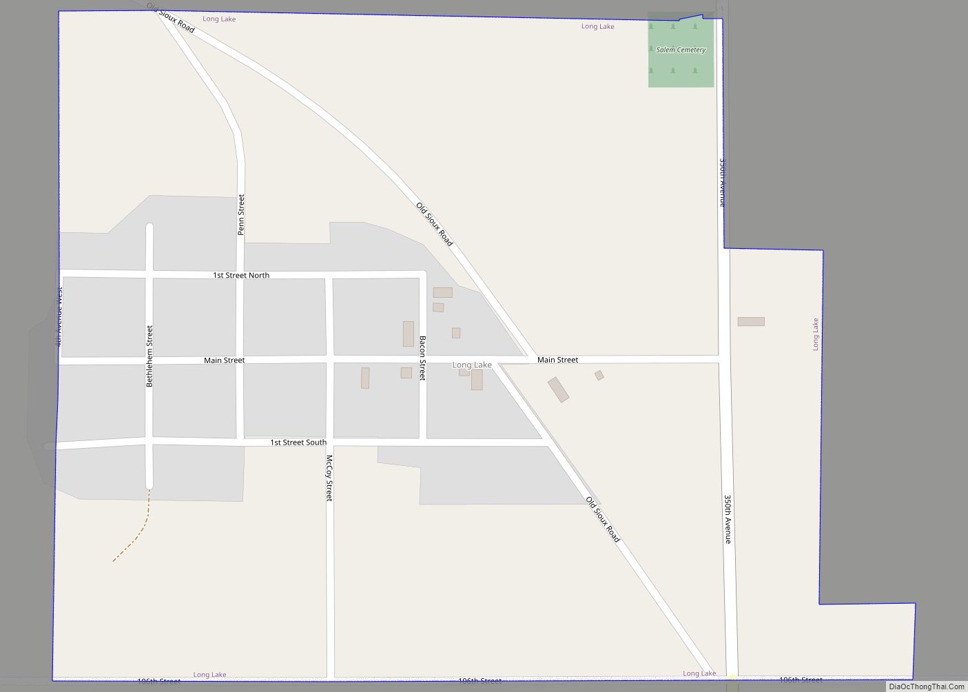
- Long Lake
McPherson County Topographic Map
McPherson County Satellite Map
McPherson County Outline Map