Monroe County is a county on the northeast border of the U.S. state of Mississippi next to Alabama. As of the 2020 census, the population was 34,180. Its county seat is Aberdeen.
| Name: | Monroe County |
|---|---|
| FIPS code: | 28-095 |
| State: | Mississippi |
| Founded: | 1821 |
| Named for: | James Monroe |
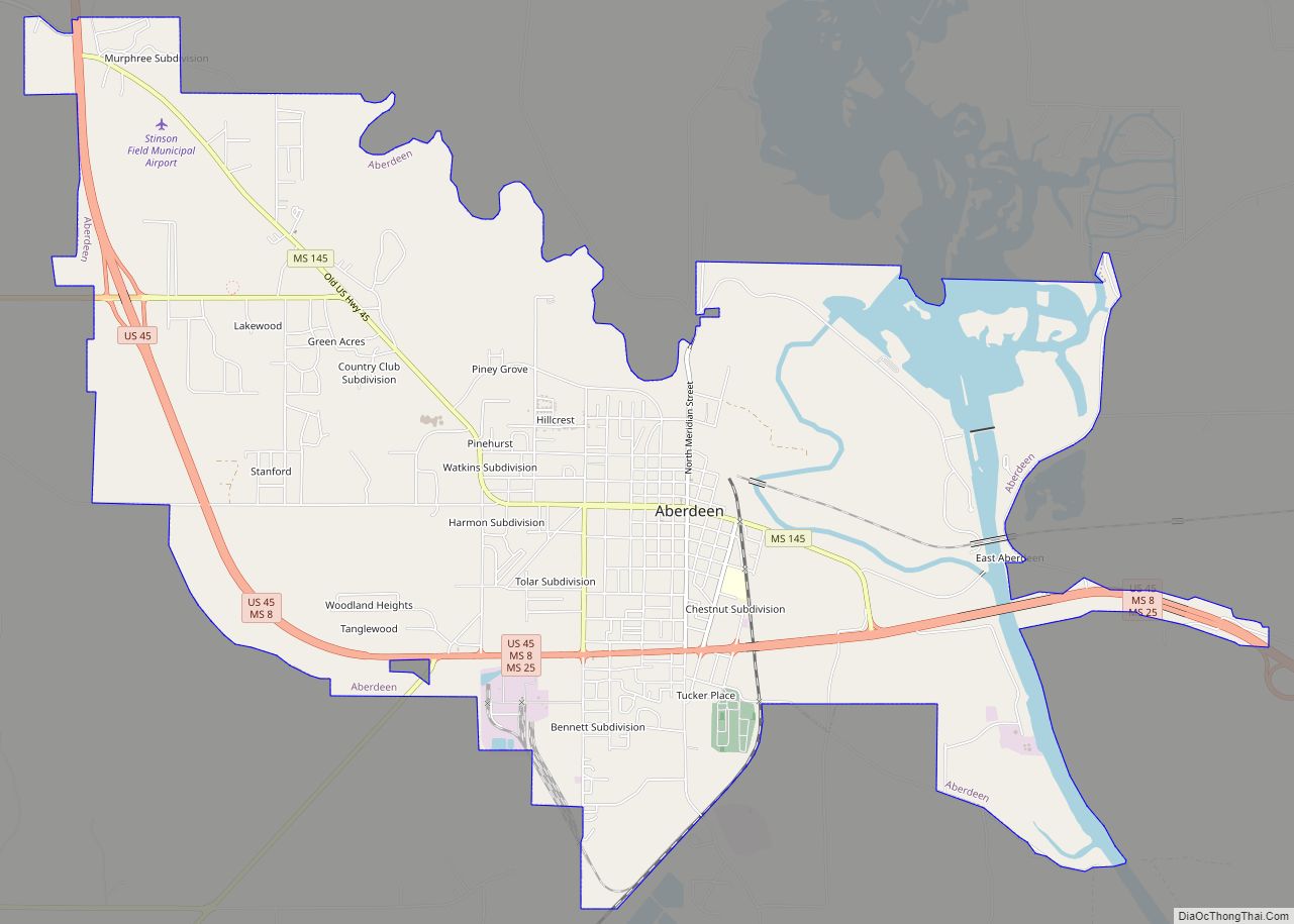
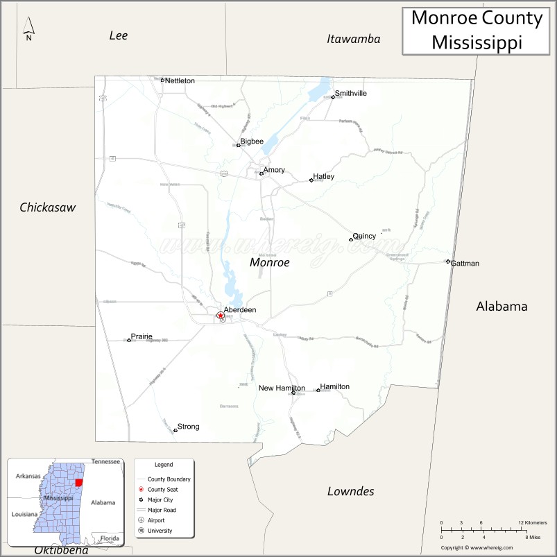
| Seat: | Aberdeen |
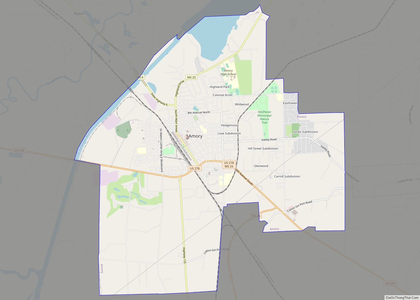
| Largest city: | Amory |
| Total Area: | 772 sq mi (2,000 km²) |
| Land Area: | 765 sq mi (1,980 km²) |
| Total Population: | 34,180 |
| Population Density: | 44/sq mi (17/km²) |
| Time zone: | UTC−6 (Central) |
| Summer Time Zone (DST): | UTC−5 (CDT) |
| Website: | www.monroems.com |
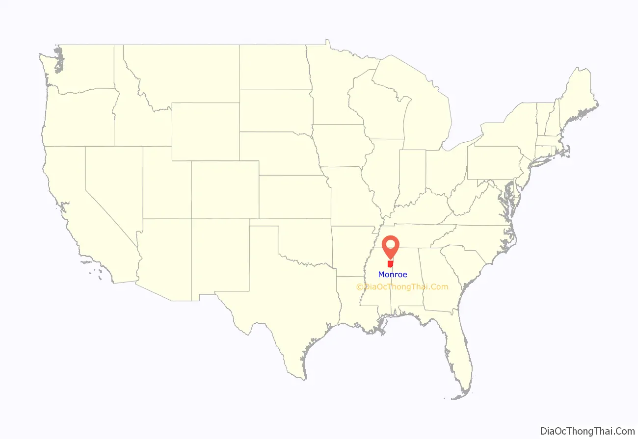
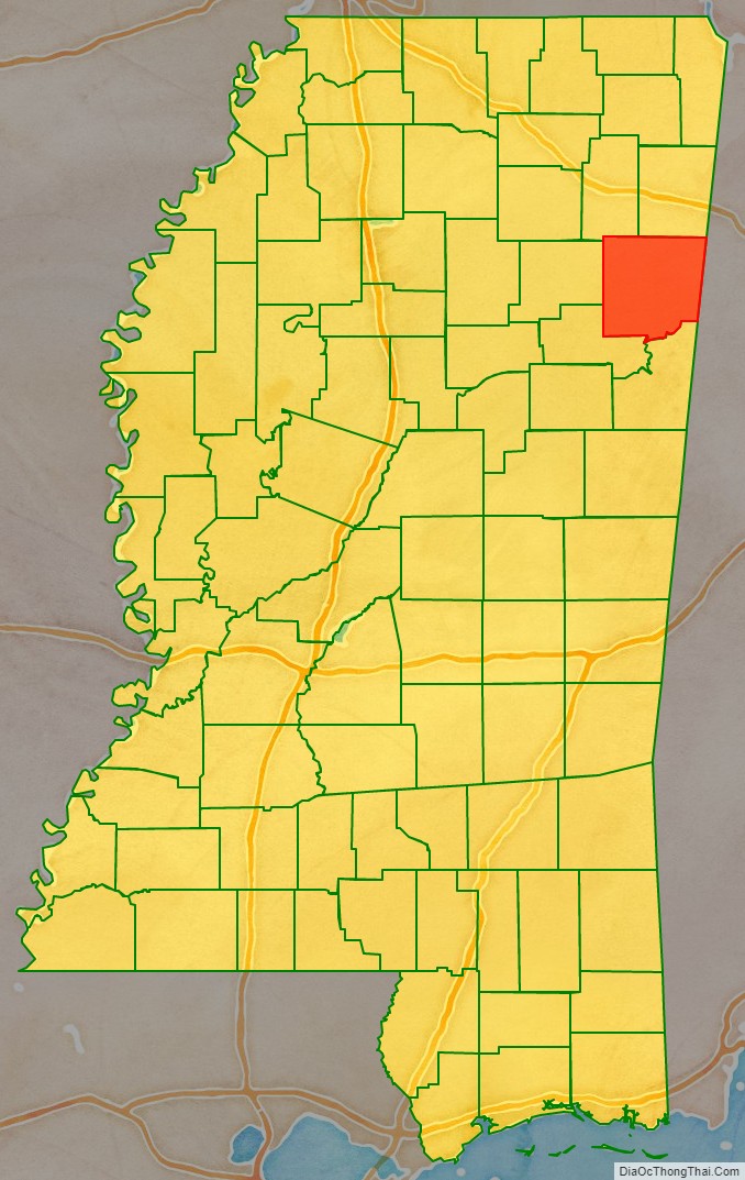
Monroe County location map. Where is Monroe County?
History
The county is named in honor of James Monroe, the fifth President of the United States. Part of the county east of the Tombigbee River originally made-up part of the Alabama Territory, belonging to Marion County, until new lines of demarcation put it in the State of Mississippi in 1821.
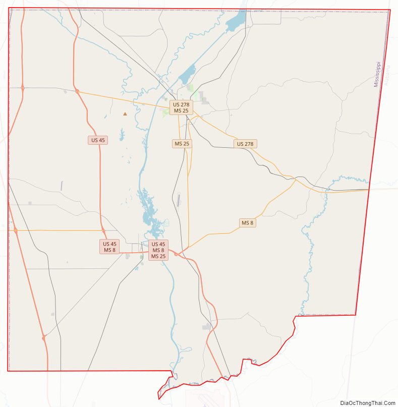
Monroe County Road Map
Geography
According to the U.S. Census Bureau, the county has a total area of 772 square miles (2,000 km), of which 765 square miles (1,980 km) is land and 7.0 square miles (18 km) (0.9%) is water.
In 1922, the Commissioner of Agriculture for the county published a report in a local newspaper which described in some detail the soil conditions and agriculture of the county. He described the areas as the Black Lands and the soil as black lime, a “stiff” soil, derived from the Selma chalk formation and extremely rich in potassium and phosphorus.
Flora
Sweet clover is an indigenous wild ground cover in the county.
Major highways
- U.S. Highway 45
- U.S. Highway 278
- Mississippi Highway 6
- Mississippi Highway 8
- Mississippi Highway 25
- Mississippi Highway 145
Adjacent counties
- Lowndes County (south)
- Clay County (southwest)
- Chickasaw County (west)
- Lee County (northwest)
- Itawamba County (north)
- Lamar County, Alabama (east)
- Marion County, Alabama (northeast)
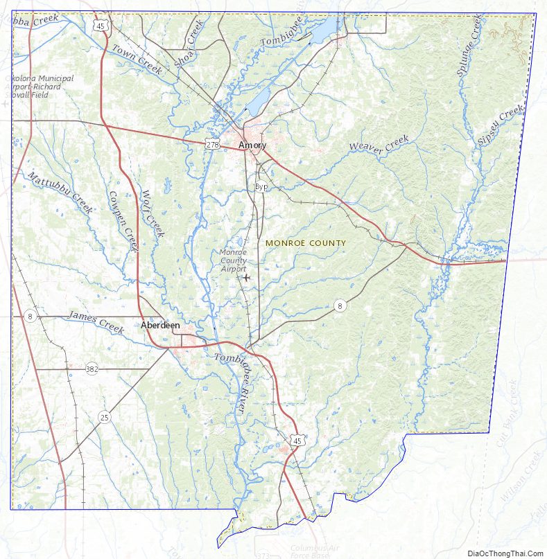
Monroe County Topographic Map
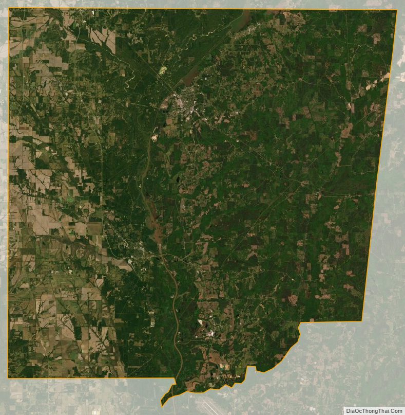
Monroe County Satellite Map
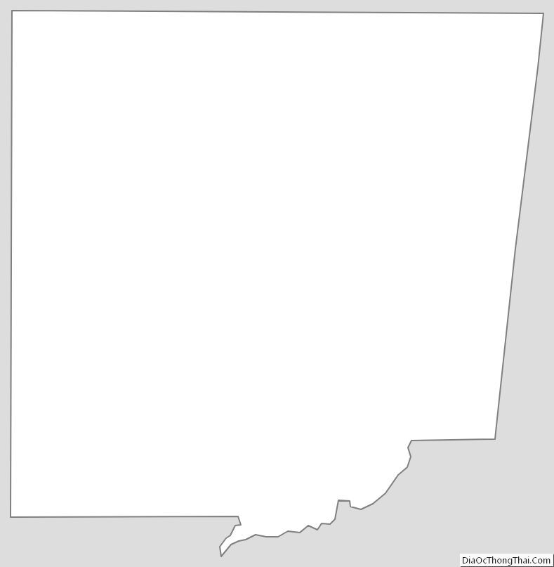
Monroe County Outline Map