| Name: | Natchitoches Parish |
|---|---|
| FIPS code: | 22-069 |
| State: | Louisiana |
| Founded: | April 10, 1805 |
| Named for: | Natchitoches people |
| Seat: | Natchitoches |
| Total Area: | 3,360 km² (1,299 sq mi) |
| Land Area: | 3,240 km² (1,252 sq mi) |
| Total Population: | 37,515 |
| Population Density: | 11/km² (29/sq mi) |
| Time zone: | UTC-6 (CST) |
| Summer Time Zone (DST): | UTC-5 (CDT) |
| Website: | Natchitoches Parish Government |
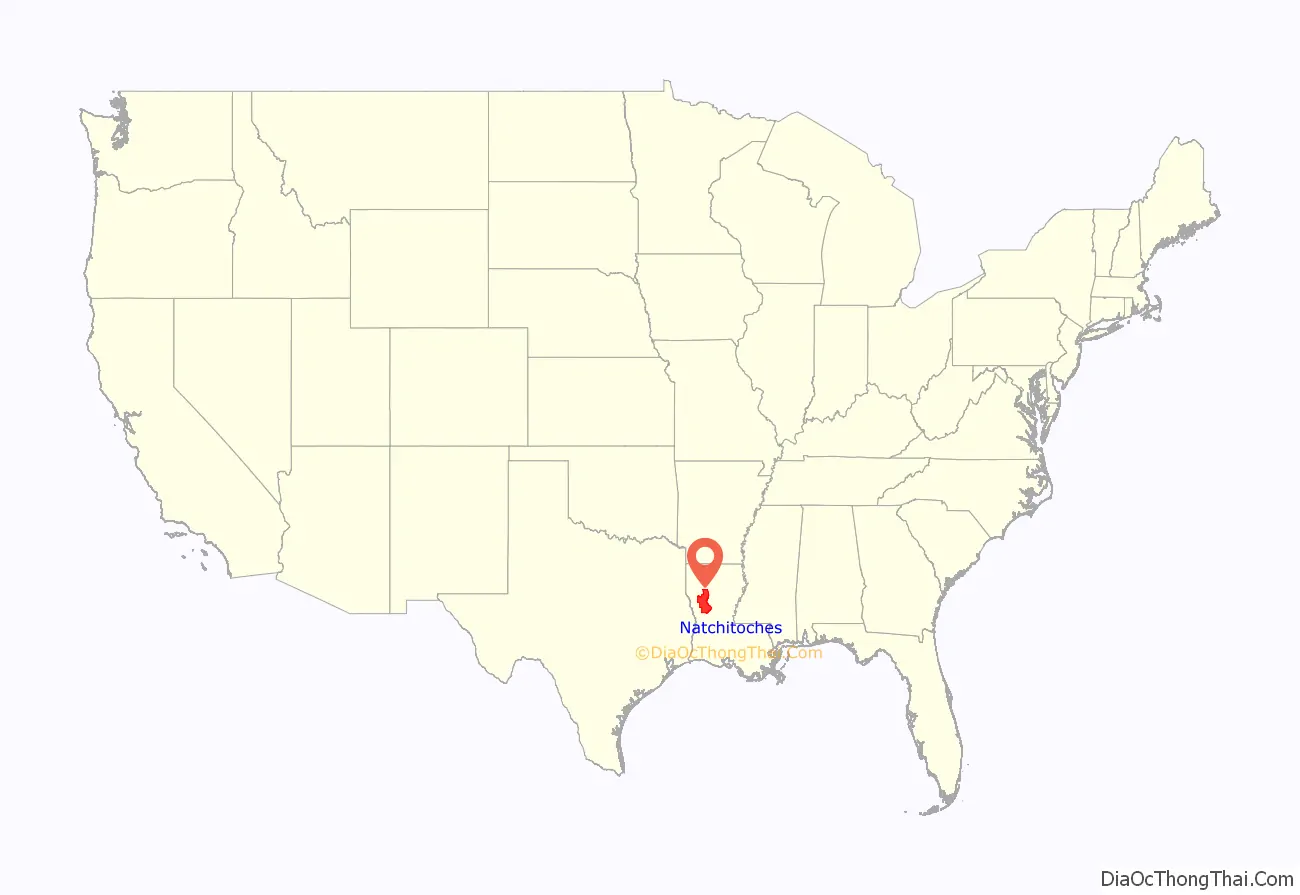
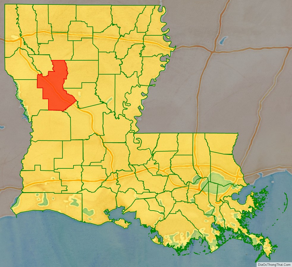
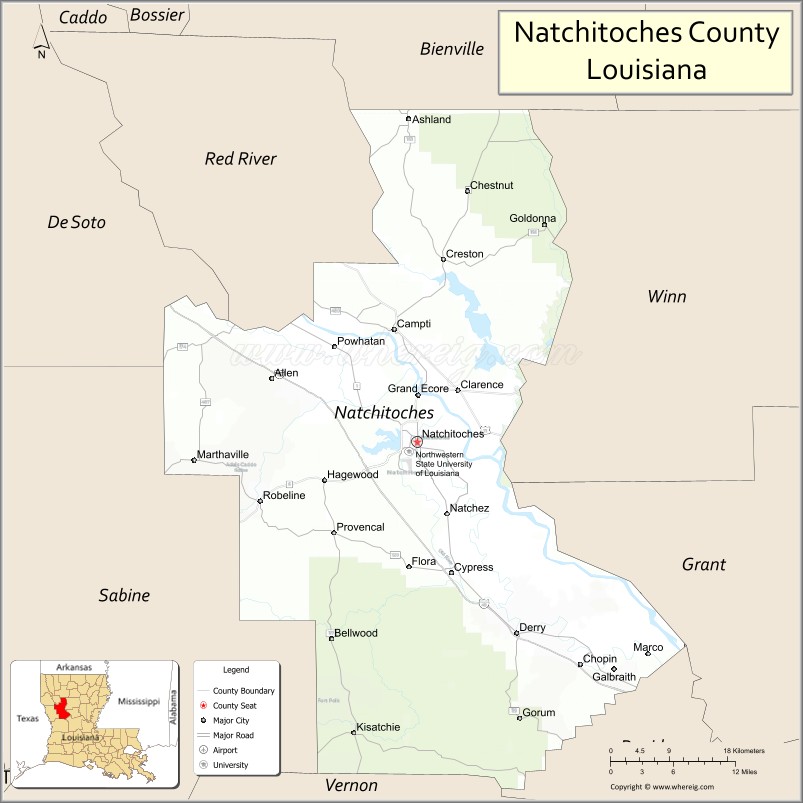
Natchitoches Parish location map. Where is Natchitoches Parish?
History
Natchitoches Parish was created by the act of April 10, 1805 that divided the Territory of Orleans into 12 parishes, including Orleans, Iberville, Rapides and Natchitoches. The parish boundaries were much larger than now defined, but were gradually reduced as new parishes were organized following population increases in the state. The parishes of Caddo, Claiborne, Bossier, Webster, DeSoto, Bienville, Jackson, Sabine, Red River, Winn, and Grant were eventually formed from Natchitoches’ enormous territory. Natchitoches Parish has had fifteen border revisions, making it second only to Ouachita parish in number of boundary revisions.
During the antebellum period, numerous large cotton plantations were developed in this area, worked by enslaved African Americans. The parish population was majority black and enslaved by the time of the Civil War. There was also a large mixed-race population of free Creoles of color. Among the institutions they founded was the St. Augustine Parish (Isle Brevelle) Church, built in 1829. It is a destination on the Louisiana African American Heritage Trail.
In May 1861 free men of color in the area known as Isle Brevelle began to organize two militia companies. Other free men of color of Campti and that area enlisted in the Confederate Army later in the war; and it is believed that they were accepted into a predominately white company because of their longstanding acceptance in the community. Many of the free people of color were related to longtime white families in the parish, who acknowledged them.
After the war, during Reconstruction and after, there was white violence against freedmen and their sympathizers blacks in the aftermath of emancipation and establishing a free labor system. Most planters continued to rely on cotton as a commodity crop, although the market declined, adding to area problems. In the late 19th century, a timber industry developed in some areas.
Since the late 20th century, the parish has developed considerable heritage tourism. It also attracts people for fishing and other sports, including spring training on Cane River Lake by several university teams.
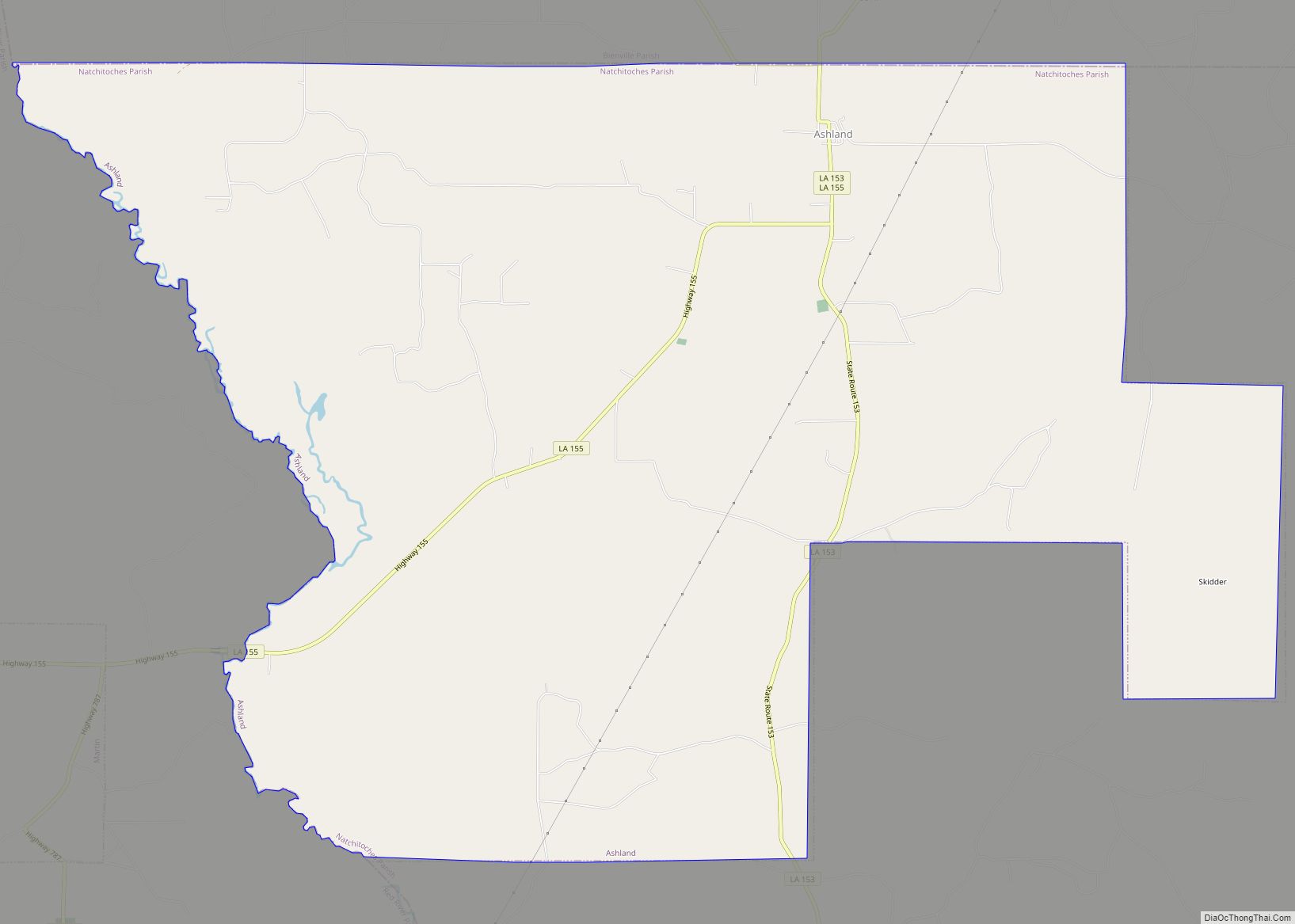
Natchitoches Parish Road Map
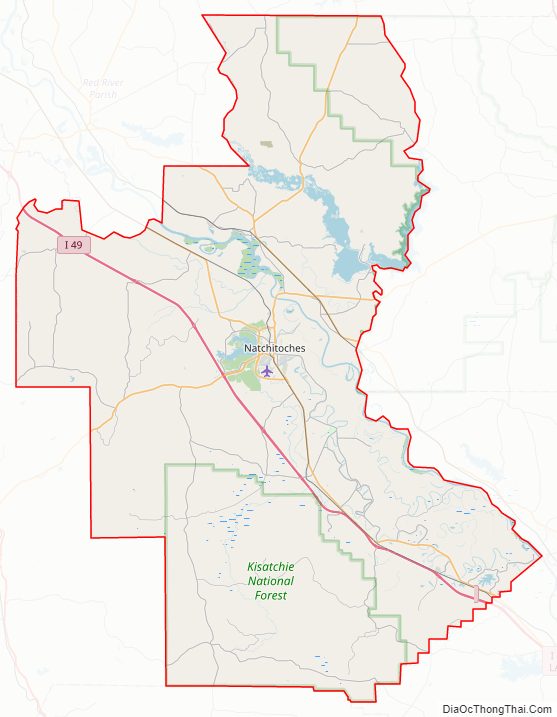
Geography
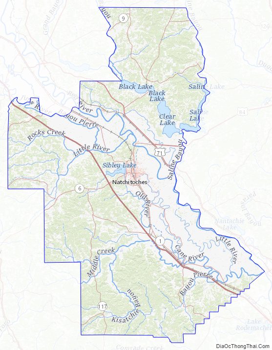
According to the U.S. Census Bureau, the parish has a total area of 1,299 square miles (3,360 km), of which 1,252 square miles (3,240 km) is land and 47 square miles (120 km) (3.6%) is water. It is the fourth-largest parish by land area in Louisiana. The primary groundwater resources of Natchitoches Parish, from near surface to deepest, include the Red River alluvial, upland terrace, Sparta, and Carrizo-Wilcox aquifers.
Natchitoches Parish Topographic Map
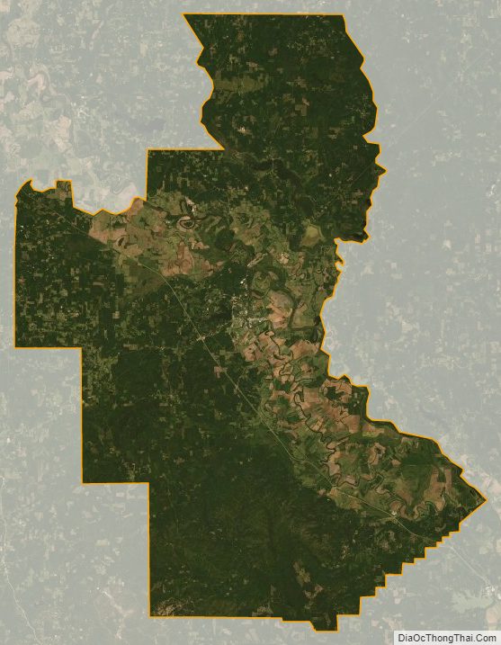
Natchitoches Parish Satellite Map
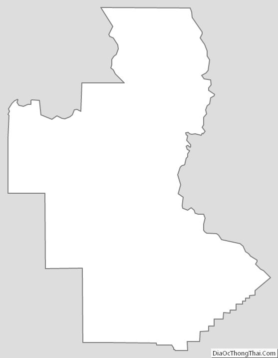
Natchitoches Parish Outline Map