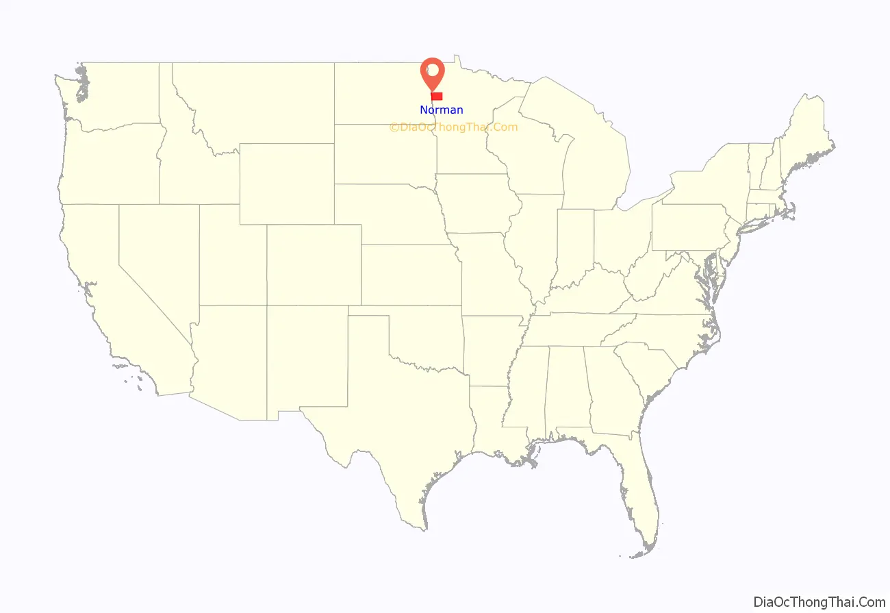
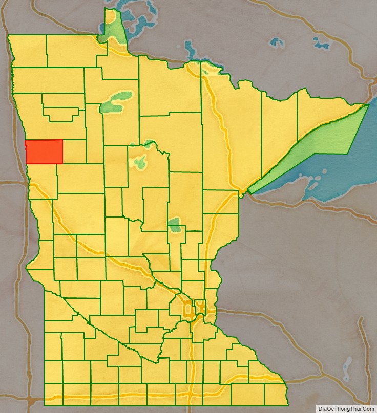
Norman County is a county in the northwestern part of the U.S. state of Minnesota. As of the 2020 United States Census, the population was 6,441. Its county seat is Ada. The county is in Minnesota’s Red River Valley region.
| Name: | Norman County |
|---|---|
| FIPS code: | 27-107 |
| State: | Minnesota |
| Founded: | February 17, 1881 |
| Named for: | Norwegian settlers |
| Seat: | Ada |
| Largest city: | Ada |
| Total Area: | 877 sq mi (2,270 km²) |
| Land Area: | 873 sq mi (2,260 km²) |
| Total Population: | 6,441 |
| Population Density: | 7.4/sq mi (2.9/km²) |
| Time zone: | UTC−6 (Central) |
| Summer Time Zone (DST): | UTC−5 (CDT) |
| Website: | www.co.norman.mn.us |
Norman County location map. Where is Norman County?
History
The county was created by the Minnesota legislature on March 17, 1881, with Ada (which had been founded in 1874) as county seat. It was named in recognition of the many settlers who came from Scandinavian countries, especially Norway. Another source posits that it was named for Norman Kittson, an early historical figure of the region.
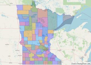
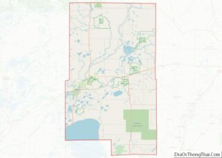
Norman County Road Map
Geography
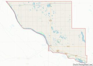
Norman County lies on Minnesota’s western border, abutting North Dakota across the Red River, which flows north along (and defines) the county’s west line. The Wild Rice River flows west through the lower part of the county, discharging into the Red slightly north of the county’s southwest corner. The Marsh River rises in central Norman County and flows northwest into the Red near the county’s northwest corner. The county terrain consists of low rolling hills, carved by drainages and lightly dotted with lakes and swampy areas. The terrain is devoted to agriculture. The terrain slopes to the north and west with its highest point near its southeast corner, at 1,224′ (373m) ASL. The county has an area of 877 square miles (2,270 km), of which 873 square miles (2,260 km) is land and 3.9 square miles (10 km) (0.4%) water. Flom Township contains a prominent, irregular hill of morainic drift known as Frenchman’s Bluff. It rises 150′ (46m) above the shoreline of the former Lake Agassis, three miles (5 km) to the northwest.
Major highways
- U.S. Highway 75
- Minnesota State Highway 9
- Minnesota State Highway 32
- Minnesota State Highway 113
- Minnesota State Highway 200
Adjacent counties
- Polk County – north
- Mahnomen County – east
- Becker County – southeast
- Clay County – south
- Cass County, North Dakota – southwest
- Traill County, North Dakota – west
Protected areas
- Agassiz Dunes Scientific and Natural Area (part)
- Agassiz No. 1 State Wildlife Management Area
- Agassiz No. 2 State Wildlife Management Area
- Dalby State Wildlife Management Area
- Faith State Wildlife Management Area
- Home Lake State Wildlife Management Area
- Moccasin State Wildlife Management Area
- Neal State Wildlife Management Area
- Prairie Smoke Dunes Scientific and Natural Area
- Sandpiper Scientific and Natural Area
- Santee Prairie Scientific and Natural Area
- Syre State Wildlife Management Area
- Twin Valley Prairie Scientific and Natural Area
- Twin Valley State Wildlife Management Area
- Vangsness State Wildlife Management Area
Lakes
- Home Lake
- Lockhart Swamp
