Ada (/ˈeɪdə/ AY-də) is a city in Norman County, Minnesota, United States. The population was 1,740 at the 2020 census. It is the county seat.
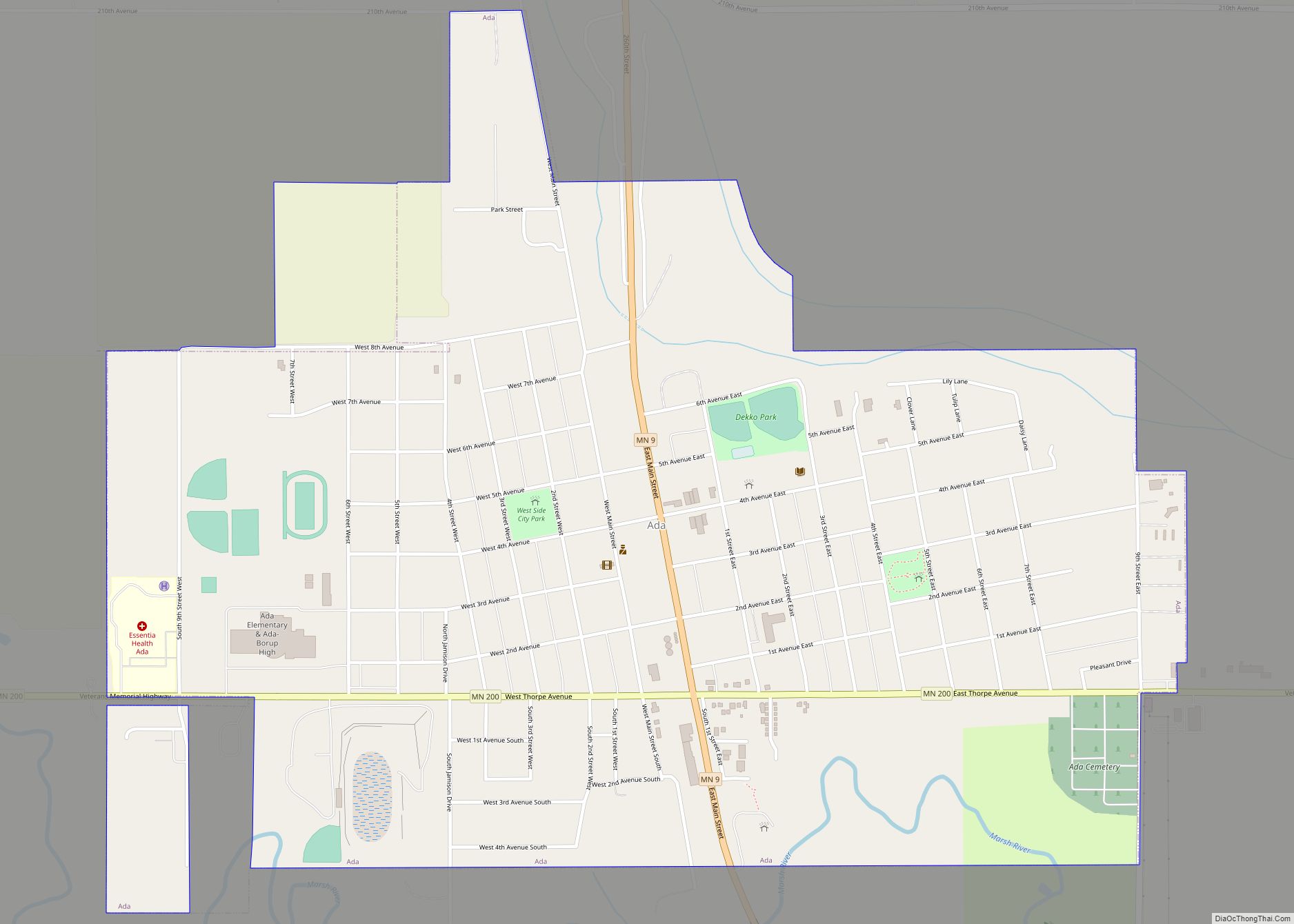
Minnesota State Highways 9 and 200 are two of the main routes in the city.
| Name: | Ada city |
|---|---|
| LSAD Code: | 25 |
| LSAD Description: | city (suffix) |
| State: | Minnesota |
| County: | Norman County |
| Founded: | 1874 |
| Incorporated: | 1881 |
| Elevation: | 906 ft (276 m) |
| Total Area: | 1.34 sq mi (3.47 km²) |
| Land Area: | 1.34 sq mi (3.47 km²) |
| Water Area: | 0.00 sq mi (0.00 km²) |
| Total Population: | 1,740 |
| Population Density: | 1,297.54/sq mi (501.01/km²) |
| ZIP code: | 56510 |
| Area code: | 218 |
| FIPS code: | 2700172 |
| GNISfeature ID: | 0639200 |
| Website: | adamn.gov |
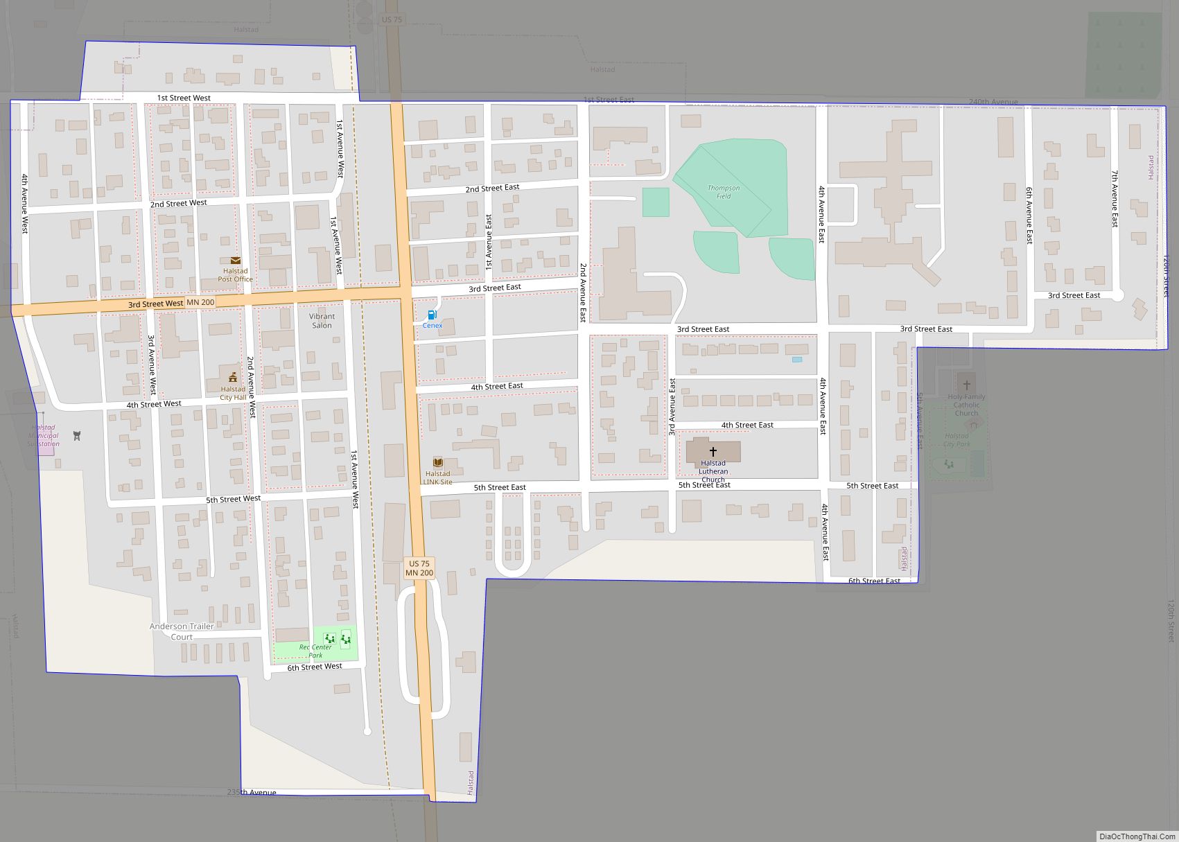
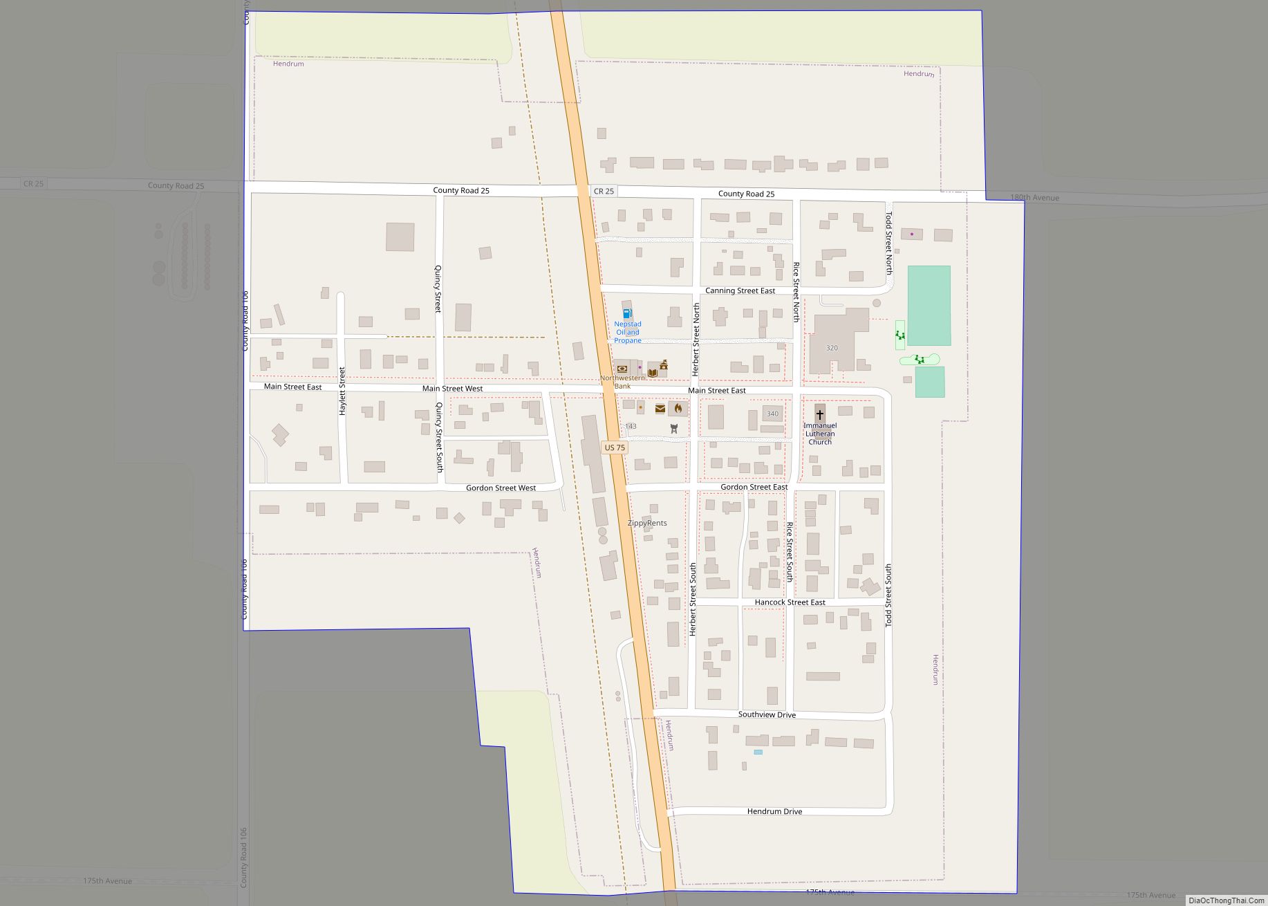
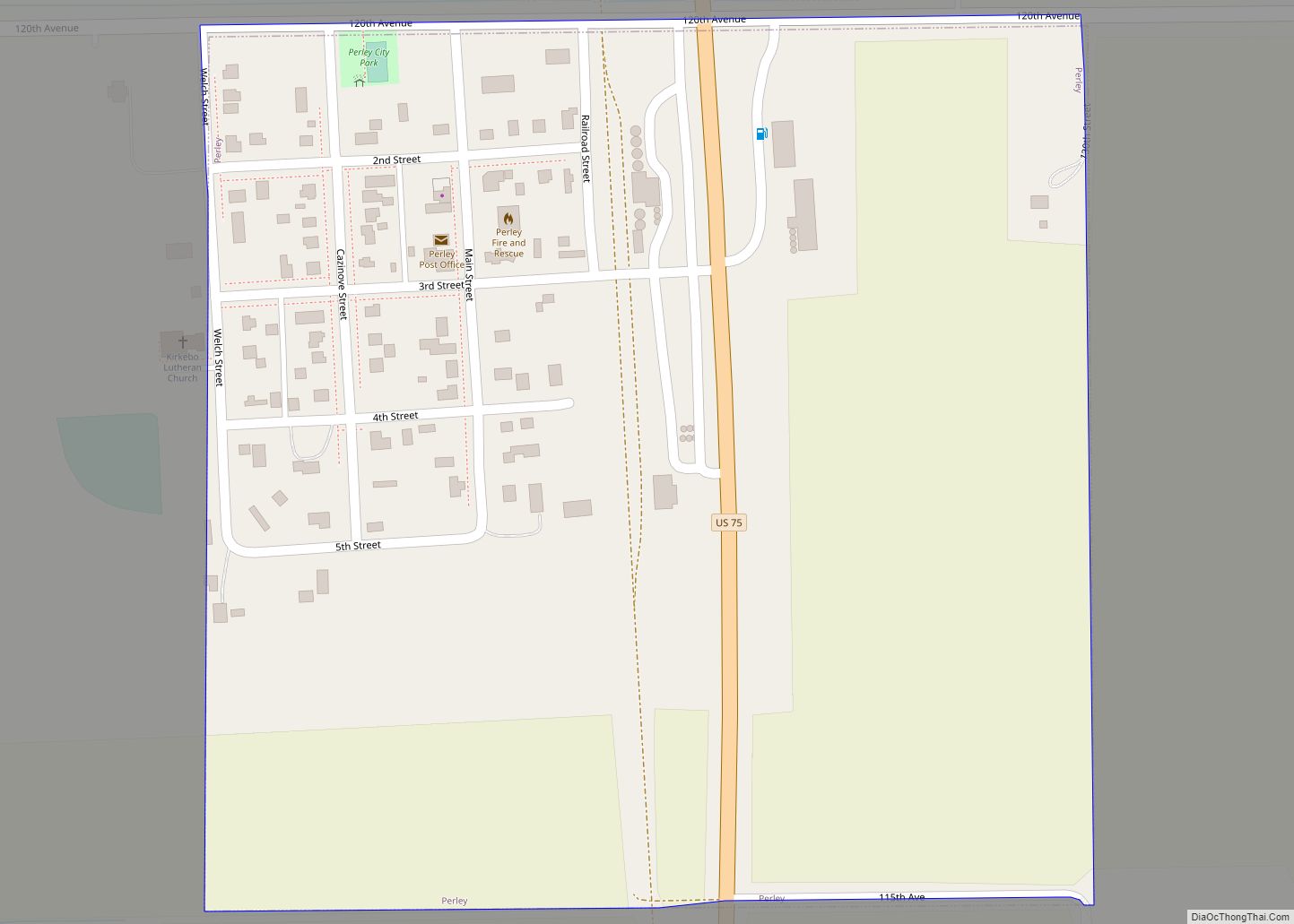
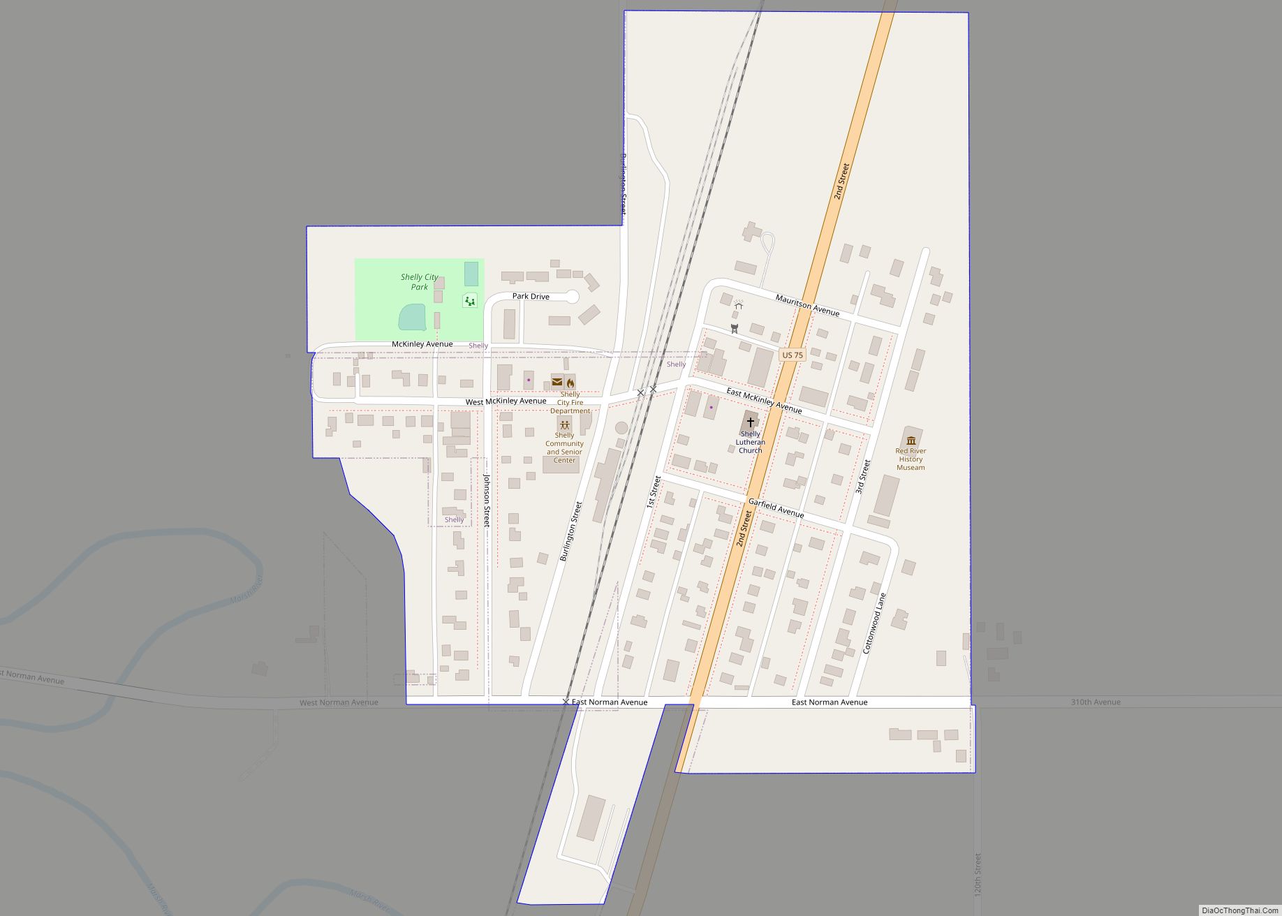
Online Interactive Map
Click on ![]() to view map in "full screen" mode.
to view map in "full screen" mode.
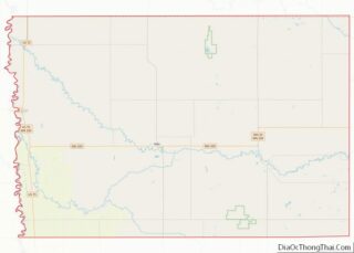
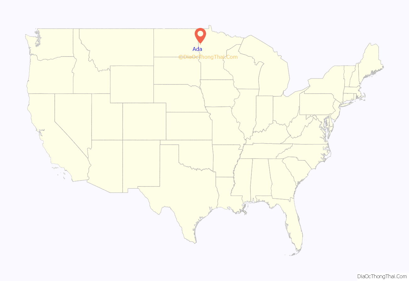
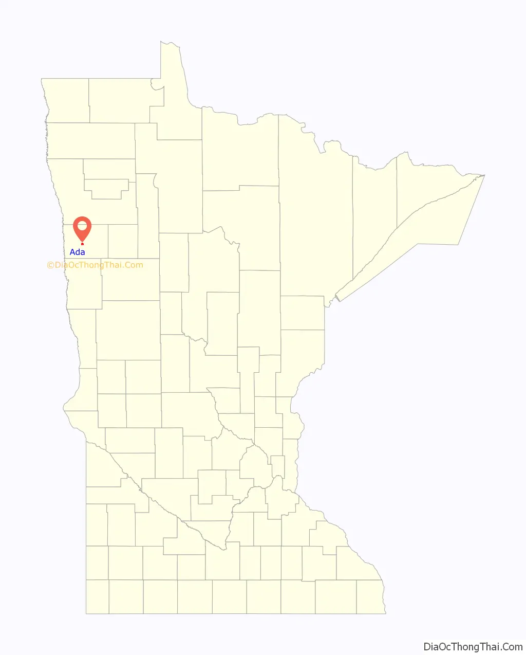
Ada location map. Where is Ada city?
History
Ada was laid out in 1874 and incorporated in 1881. It was named in honor of a daughter of William H. Fisher (the namesake of Fisher, Minnesota), of St. Paul, then attorney and superintendent of the St. Paul and Pacific Railroad, under whose superintendency this line of the Red River Valley was constructed. A post office has been in operation at Ada since 1876. As Norman County grew in the 1880s, they were outgrowing their current space being used as a county courthouse in Ada, and erecting a new building was on the horizon. At the time, Norman County was bigger than today, with Twin Valley roughly at the geographic center. Starting in 1900, Twin Valley worked to rally support behind the goal of building the new courthouse there, turning it into the county seat as well. Two petitions and one vote later, Ada won the challenge. In 1906, it became a moot point when Mahnomen County was formed, shrinking Norman County and making Ada the geographic center.
Ada Road Map
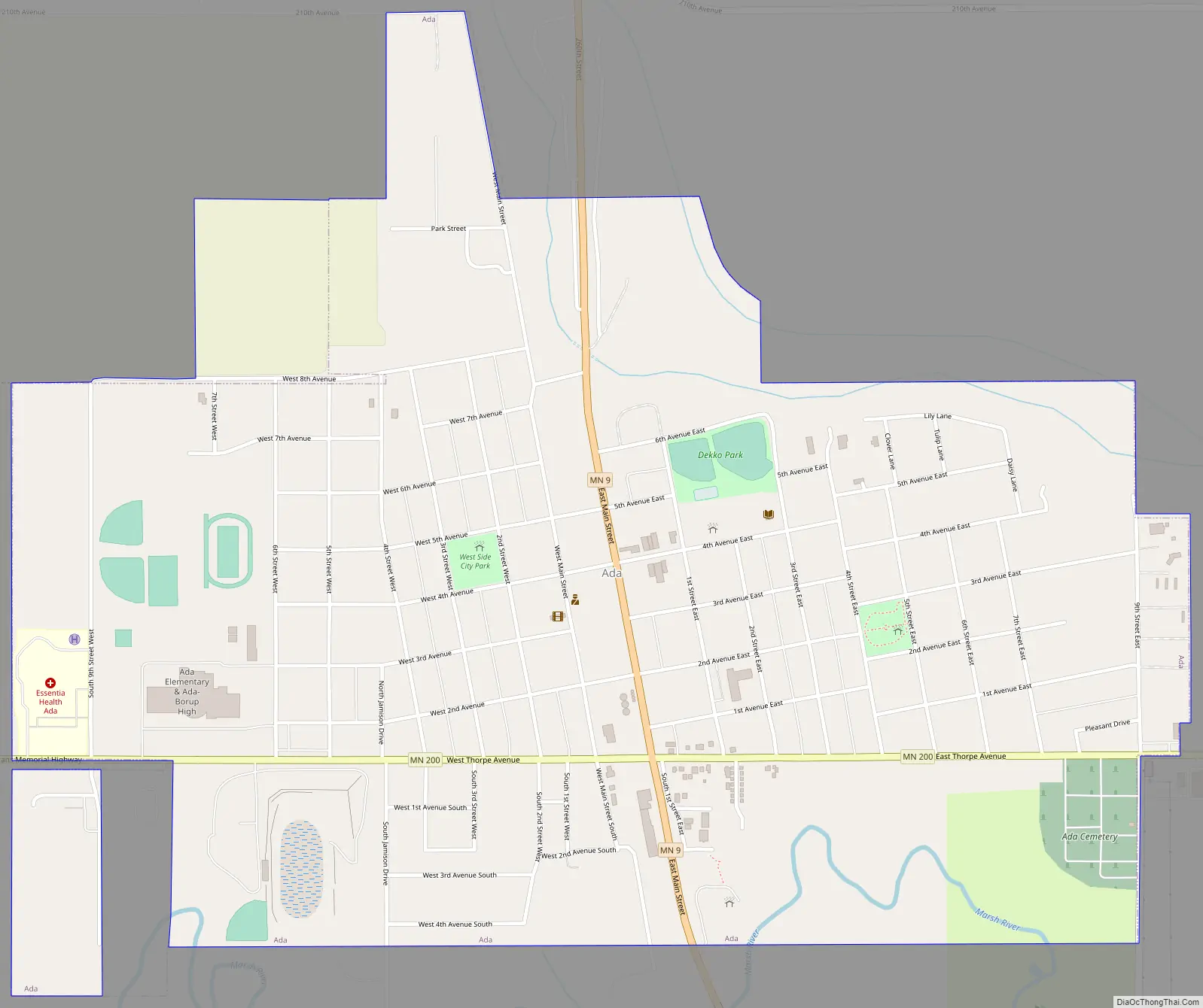
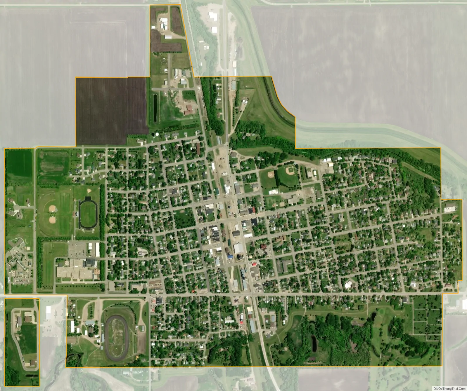
Ada city Satellite Map
Geography
According to the United States Census Bureau, the city has a total area of 1.39 square miles (3.60 km), all land.
Climate
See also
Map of Minnesota State and its subdivision:- Aitkin
- Anoka
- Becker
- Beltrami
- Benton
- Big Stone
- Blue Earth
- Brown
- Carlton
- Carver
- Cass
- Chippewa
- Chisago
- Clay
- Clearwater
- Cook
- Cottonwood
- Crow Wing
- Dakota
- Dodge
- Douglas
- Faribault
- Fillmore
- Freeborn
- Goodhue
- Grant
- Hennepin
- Houston
- Hubbard
- Isanti
- Itasca
- Jackson
- Kanabec
- Kandiyohi
- Kittson
- Koochiching
- Lac qui Parle
- Lake
- Lake of the Woods
- Lake Superior
- Le Sueur
- Lincoln
- Lyon
- Mahnomen
- Marshall
- Martin
- McLeod
- Meeker
- Mille Lacs
- Morrison
- Mower
- Murray
- Nicollet
- Nobles
- Norman
- Olmsted
- Otter Tail
- Pennington
- Pine
- Pipestone
- Polk
- Pope
- Ramsey
- Red Lake
- Redwood
- Renville
- Rice
- Rock
- Roseau
- Saint Louis
- Scott
- Sherburne
- Sibley
- Stearns
- Steele
- Stevens
- Swift
- Todd
- Traverse
- Wabasha
- Wadena
- Waseca
- Washington
- Watonwan
- Wilkin
- Winona
- Wright
- Yellow Medicine
- Alabama
- Alaska
- Arizona
- Arkansas
- California
- Colorado
- Connecticut
- Delaware
- District of Columbia
- Florida
- Georgia
- Hawaii
- Idaho
- Illinois
- Indiana
- Iowa
- Kansas
- Kentucky
- Louisiana
- Maine
- Maryland
- Massachusetts
- Michigan
- Minnesota
- Mississippi
- Missouri
- Montana
- Nebraska
- Nevada
- New Hampshire
- New Jersey
- New Mexico
- New York
- North Carolina
- North Dakota
- Ohio
- Oklahoma
- Oregon
- Pennsylvania
- Rhode Island
- South Carolina
- South Dakota
- Tennessee
- Texas
- Utah
- Vermont
- Virginia
- Washington
- West Virginia
- Wisconsin
- Wyoming