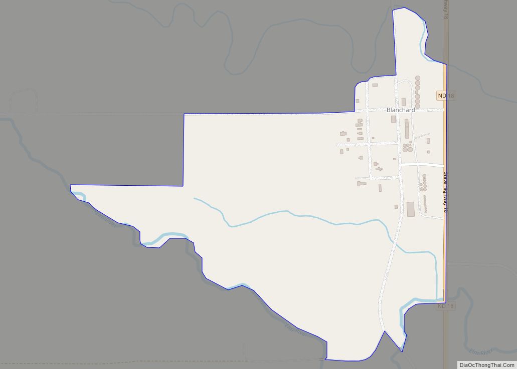
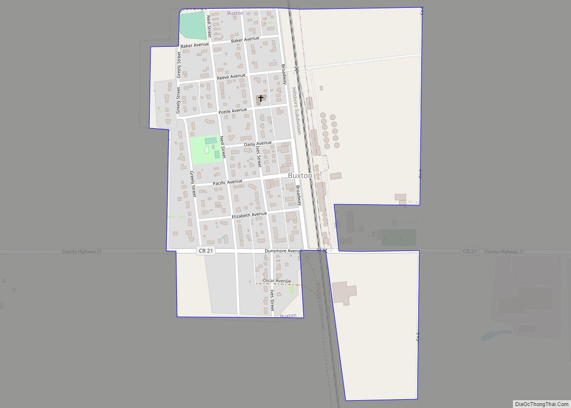
Traill County is a county in the U.S. state of North Dakota. As of the 2020 census listed the population at 7,997. Its county seat is Hillsboro, and its largest city is Mayville.
| Name: | Traill County |
|---|---|
| FIPS code: | 38-097 |
| State: | North Dakota |
| Founded: | 1875 |
| Named for: | Walter John Strickland Traill |
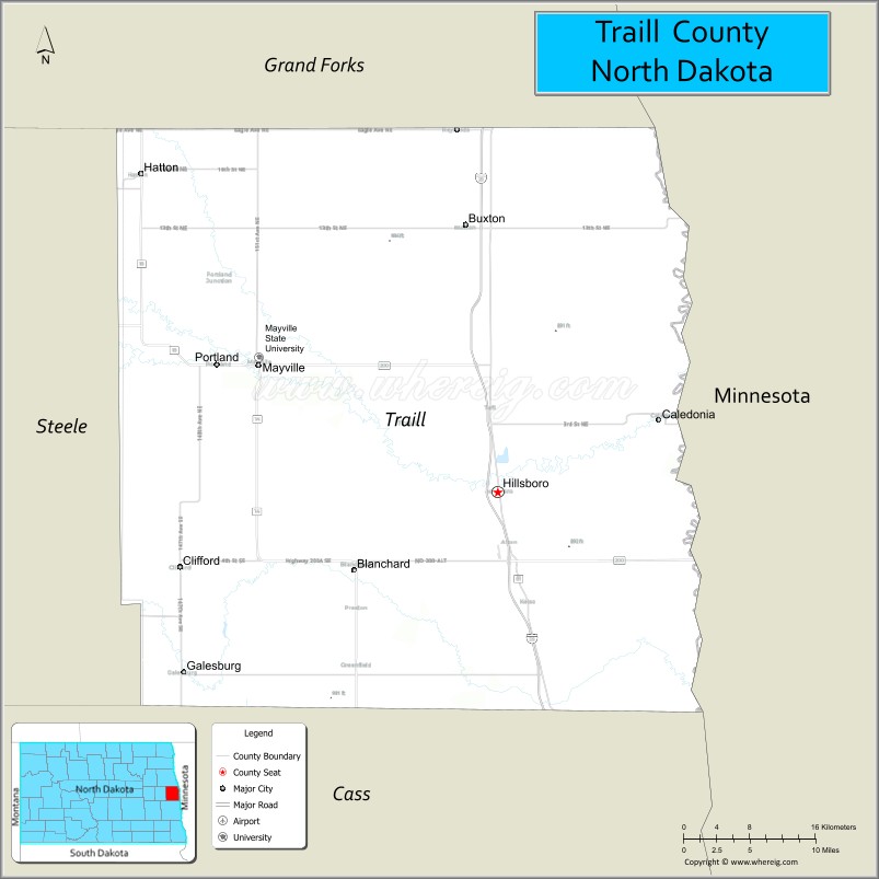
| Seat: | Hillsboro |
| Largest city: | Mayville |
| Total Area: | 863 sq mi (2,240 km²) |
| Land Area: | 862 sq mi (2,230 km²) |
| Total Population: | 7,997 |
| Population Density: | 9.3/sq mi (3.6/km²) |
| Time zone: | UTC−6 (Central) |
| Summer Time Zone (DST): | UTC−5 (CDT) |
| Website: | www.co.traill.nd.us |
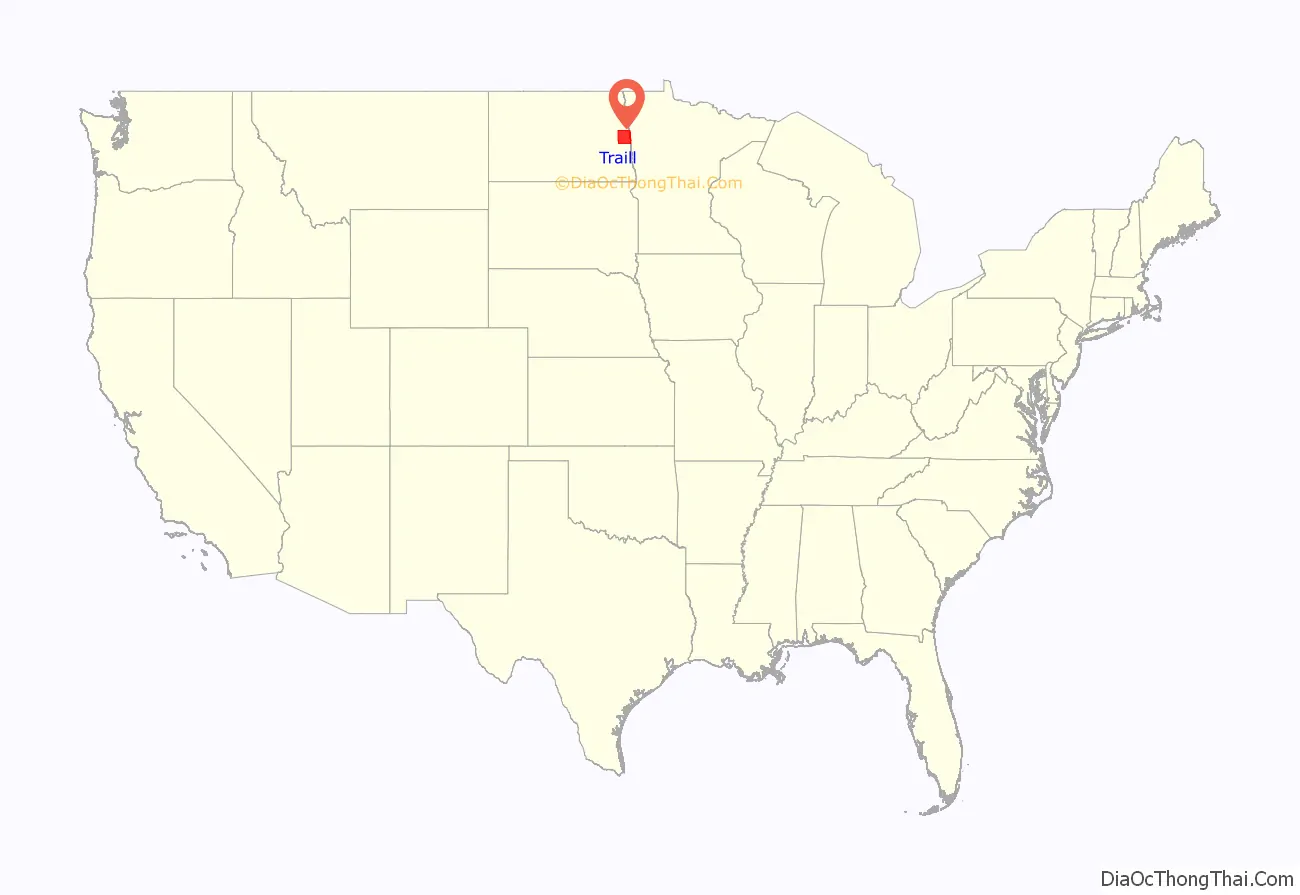
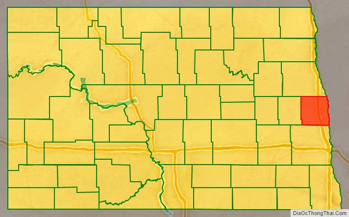
Traill County location map. Where is Traill County?
History
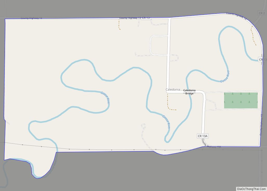
The Dakota Territory legislature created the county on January 12, 1875, with areas partitioned from Burbank (now Barnes), Cass, and Grand Forks counties. It was named for Walter John Strickland Traill, an employee of the Hudson’s Bay Company and son of Canadian pioneer Catharine Parr Traill. The first county building was a small single-story building in Caledonia. Several replacement courthouses were built during the late 19th century and several votes to move the county seat to Mayville narrowly failed. Efforts to move the county seat to Hillsboro were more successful, and all county records were moved there in 1890. Construction of the current county building began in 1905; it is now listed on the National Register of Historic Places.
The county boundaries were altered in 1881 and in 1883. It has maintained its current configuration since 1883.
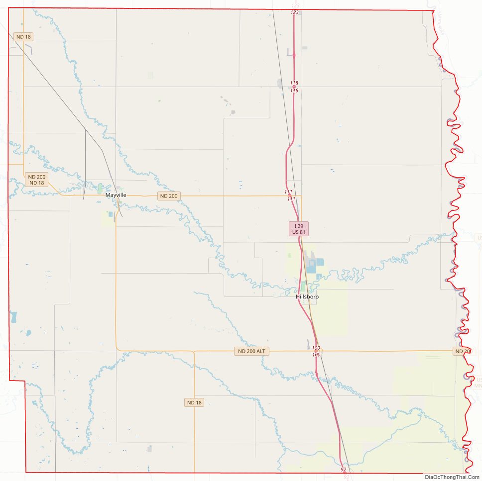
Traill County Road Map
Geography
Traill County lies on the east side of North Dakota. Its east boundary line abuts the west boundary line of the state of Minnesota (across the Red River). The Goose River flows eastward through the center of the county to discharge into the Red. The northward-flowing Red River forms the eastern boundary line of the county on its way to the Hudson Bay, and the Elk River flows south-southeastward through the southwestern part of the county. The county terrain consists of rolling hills, devoted to agriculture. The terrain slopes to the east and north, with its highest point on the lower western boundary line, at 1,201′ (366m) ASL. The county has a total area of 863 square miles (2,240 km), of which 862 square miles (2,230 km) is land and 0.6 square miles (1.6 km) (0.07%) is water.
Major highways
- Interstate 29
- North Dakota Highway 18
- North Dakota Highway 200
Airports
- Hillsboro Municipal Airport (3H4)
- Mayville Municipal Airport (D56)
Adjacent counties
- Grand Forks County – north
- Polk County, Minnesota – northeast
- Norman County, Minnesota – east
- Cass County – south
- Steele County – west
Traill County Topographic Map
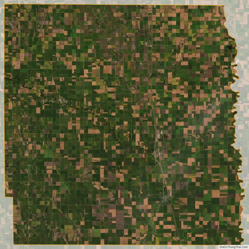
Traill County Satellite Map
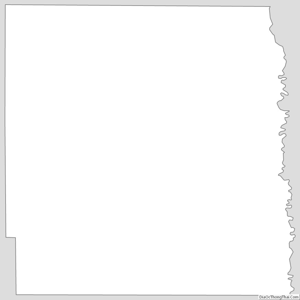
Traill County Outline Map