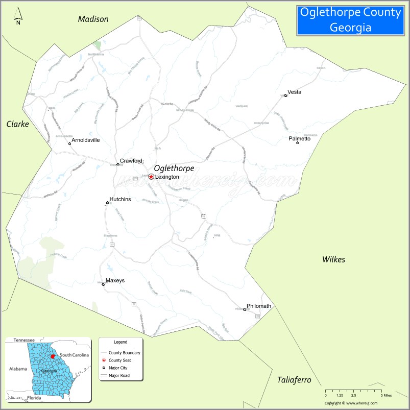
Oglethorpe County is a county located in the northeastern part of the U.S. state of Georgia. As of the 2020 census, the population was 14,825. The county seat is Lexington.
Oglethorpe County is included in the Athens-Clarke County, GA Metropolitan Statistical Area, which is also included in the Atlanta-Athens-Clarke County-Sandy Springs, GA Combined Statistical Area. It is the largest county in Northeast Georgia.
| Name: | Oglethorpe County |
|---|---|
| FIPS code: | 13-221 |
| State: | Georgia |
| Founded: | 1793 |
| Named for: | James Oglethorpe |
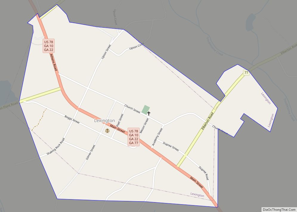
| Seat: | Lexington |
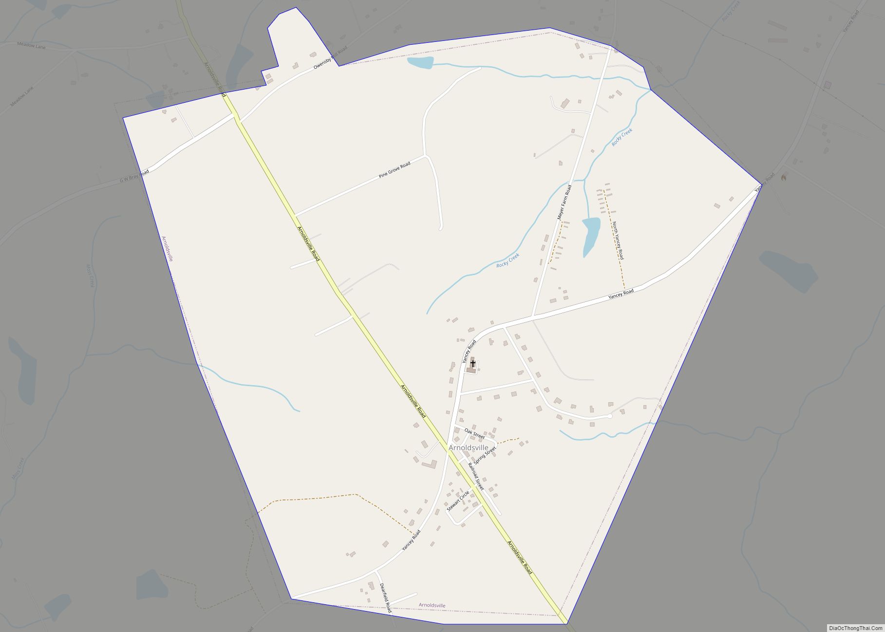
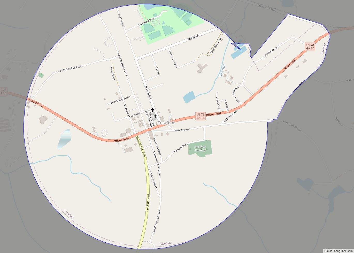
| Largest city: | Crawford |
| Total Area: | 442 sq mi (1,140 km²) |
| Land Area: | 439 sq mi (1,140 km²) |
| Total Population: | 14,825 |
| Population Density: | 34/sq mi (13/km²) |
| Time zone: | UTC−5 (Eastern) |
| Summer Time Zone (DST): | UTC−4 (EDT) |
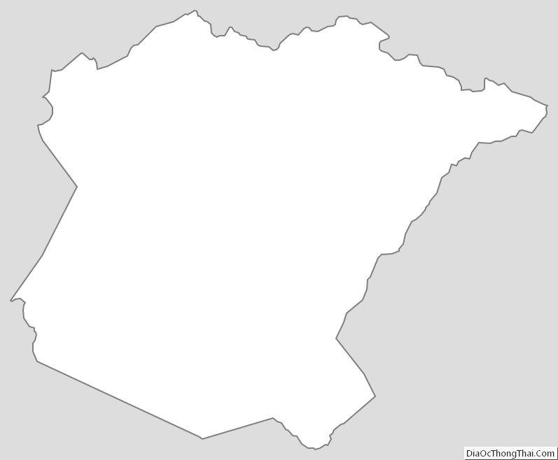
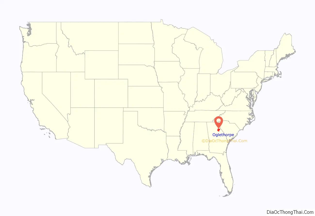
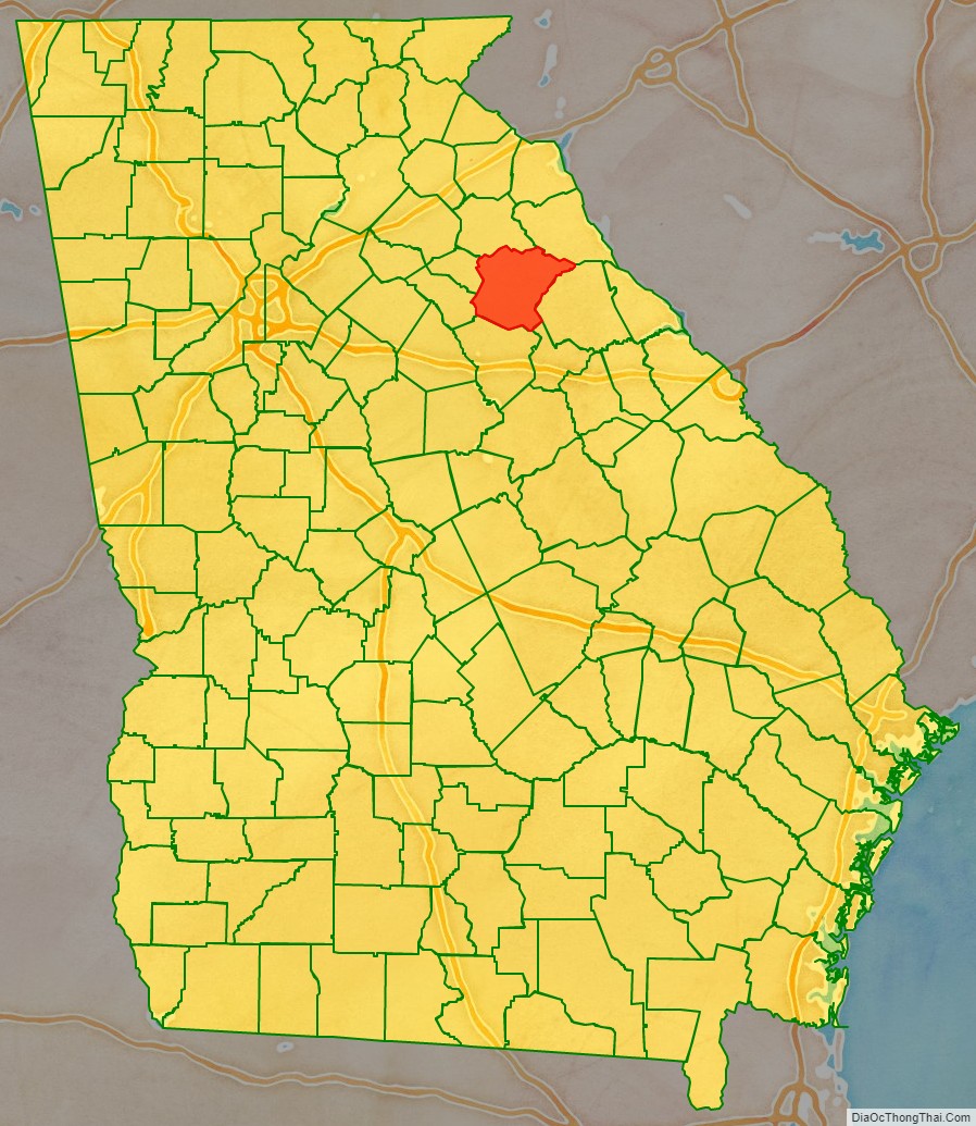
Oglethorpe County location map. Where is Oglethorpe County?
History
Oglethorpe County was originally part of a large tract of land surrendered by Creek and Cherokee Native Americans to the Colony of Georgia in the treaty of 1773. The county itself was founded on December 19, 1793, and is named for Georgia’s founder, General James Oglethorpe.
On September 10, 1919, Obe Cox was accused of murdering a White farmer’s wife. He was seized by a White mob taken to the scene of the crime, his body riddled with bullets and burned at the stake. Several thousand persons witnessed the scene. The lynching was controversial as the local black community “thanked” the mob for just killing Cox and not attacking their community. After an investigation the black media of the time reported that the blacks who wrote the letter thanking the lynching “do not stand for much in the town and are excused for their utter ignorance in condoning [lynching].”
See reference “The Lynching Project:Oglethorpe County”
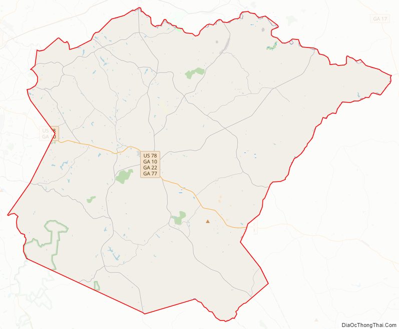
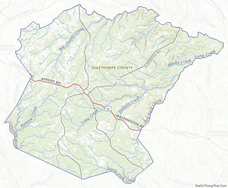
Oglethorpe County Road Map
Geography
According to the U.S. Census Bureau, the county has a total area of 442 square miles (1,140 km), of which 439 square miles (1,140 km) is land and 3.0 square miles (7.8 km) (0.7%) is water. The county is located in the Piedmont region of the state.
The majority of Oglethorpe County is located in the Broad River sub-basin of the Savannah River basin. A narrow western portion of the county, in a line from just north of Woodville, through Crawford, to just south of Winterville, is located in the Upper Oconee River sub-basin of the Altamaha River basin. A small part of the southern portion of the county, from Maxeys east, is located in the Little River sub-basin of the Savannah River basin.
River
- Broad River
Adjacent counties
- Elbert County (northeast)
- Wilkes County (east)
- Taliaferro County (southeast)
- Greene County (south)
- Oconee County (west)
- Clarke County (west)
- Madison County (north)
National protected area
- Oconee National Forest (part)
- Watson Mill Bridge State Park (part)
Oglethorpe County Topographic Map
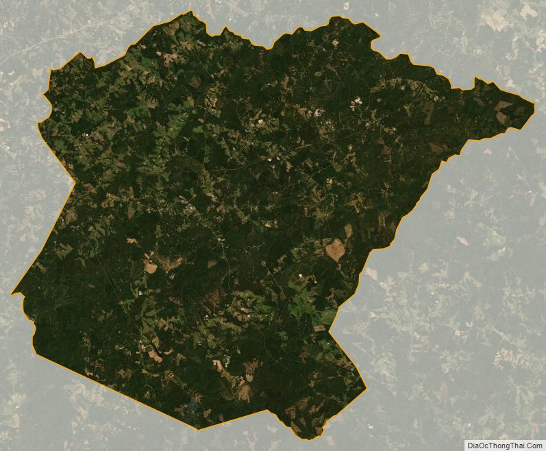
Oglethorpe County Satellite Map
Oglethorpe County Outline Map