Pearl River County is a county located in the U.S. state of Mississippi. The population was 56,145 at the 2020 census. Its county seat is Poplarville.
Pearl River County comprises the Picayune, MS Micropolitan Statistical Area, which is included in the New Orleans–Metairie–Hammond, LA–MS Combined Statistical Area.
Pearl River County is a dry county, and as such, the sale, transportation, and even private possession of beverage alcohol is prohibited by law, except within Picayune and Poplarville.
| Name: | Pearl River County |
|---|---|
| FIPS code: | 28-109 |
| State: | Mississippi |
| Founded: | 1890 |
| Named for: | Pearl River |
| Seat: | Poplarville |
| Largest city: | Picayune |
| Total Area: | 819 sq mi (2,120 km²) |
| Land Area: | 811 sq mi (2,100 km²) |
| Total Population: | 56,145 |
| Population Density: | 69/sq mi (26/km²) |
| Time zone: | UTC−6 (Central) |
| Summer Time Zone (DST): | UTC−5 (CDT) |
| Website: | www.pearlrivercounty.net |
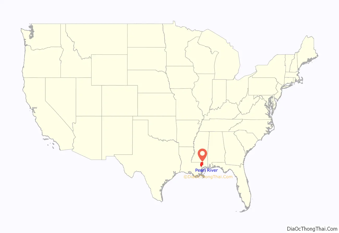
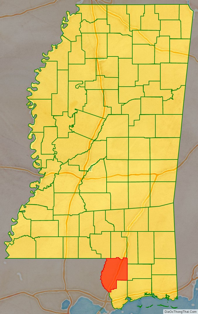
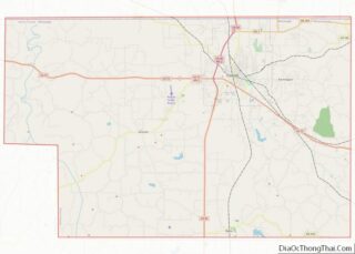
Pearl River County location map. Where is Pearl River County?
History
Pearl River County was originally formed as Pearl County in 1872 from portions of Hancock and Marion Counties. Because of low population density and a small tax base, Pearl County dissolved in 1878. Present-day Pearl River County was organized in 1890 by an act of the Mississippi Legislature utilizing the same land area as its predecessor Pearl County.
On the night of April 24, 1959, Mack Charles Parker, an African-American accused of rape, was abducted from the Pearl River County jail in Poplarville by a mob and shot to death. His body was found in the Pearl River 10 days later. The FBI investigated and even obtained confessions from some of the eight suspects. However, the county prosecutor refused to present evidence to a state grand jury and a federal grand jury refused to indict. The case focused national attention on the persistence of lynching in the South and helped accelerate the American Civil Rights Movement.
On August 29, 2005, Hurricane Katrina inflicted heavy damage on the small town of Poplarville. The storm’s most powerful, unofficially recorded gust of wind was reported at Pearl River Community College, at 135 mph (217 km/h). On September 2, 2005, the 1st Battalion, 134th Field Artillery (Ohio Army National Guard) arrived at the National Guard armory in Poplarville to assist the community and Pearl River County in recovery efforts in the wake of Hurricane Katrina. Initial efforts were the security of banks, pharmacies and gas stations as well as initial responses to rural emergencies. The unit stayed for three weeks ultimately checking on every family and structure in the county. On September 5, 2005, Poplarville played host to a visit by George W. Bush, Laura Bush, and Governor Haley Barbour to Pearl River Community College in the aftermath of Hurricane Katrina.
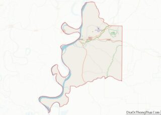
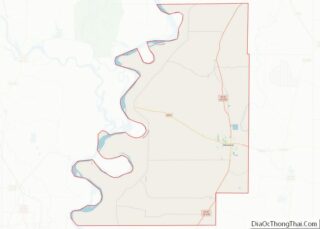
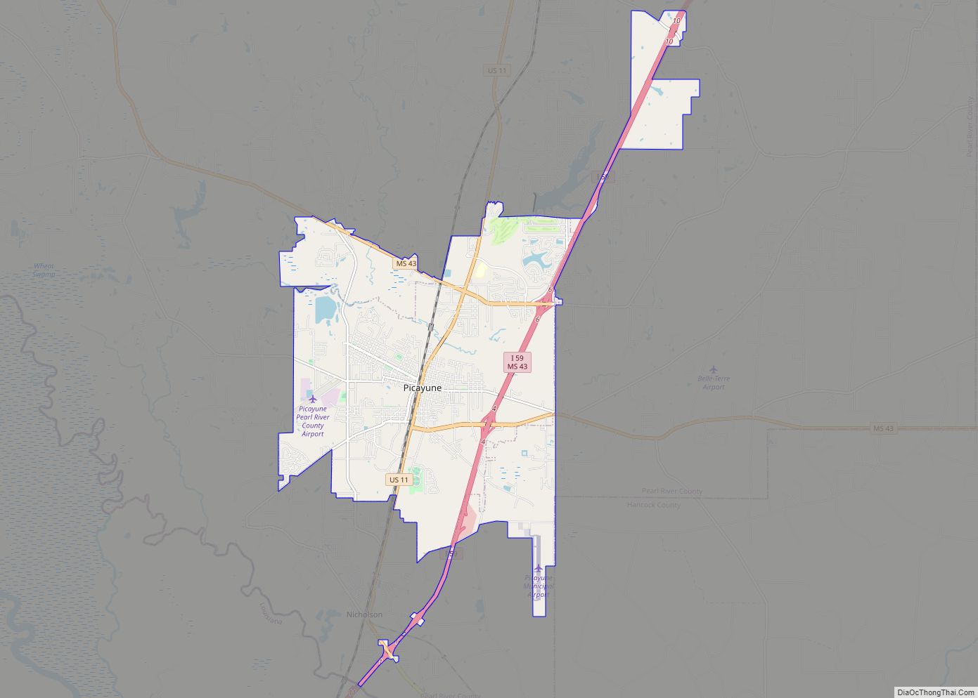
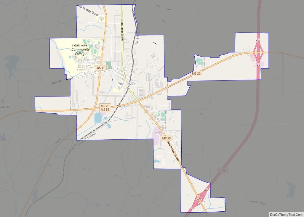
Pearl River County Road Map
Geography
According to the U.S. Census Bureau, the county has a total area of 819 square miles (2,120 km), of which 811 square miles (2,100 km) is land and 8.0 square miles (21 km) (1.0%) is water. It is the fourth-largest county in Mississippi by land area.
Major highways
- Interstate 59
- U.S. Highway 11
- Mississippi Highway 13
- Mississippi Highway 26
- Mississippi Highway 43
- Mississippi Highway 53
Adjacent counties and parishes
- Lamar County (north)
- Forrest County (northeast)
- Stone County (east)
- Hancock County (south)
- St. Tammany Parish, Louisiana (southwest)
- Washington Parish, Louisiana (west)
- Marion County (northwest)
National protected areas
- Bogue Chitto National Wildlife Refuge (part)
- De Soto National Forest (part)
