Metairie (/ˈmɛtəri/ MET-ər-ee) is a census-designated place (CDP) in Jefferson Parish, Louisiana, United States, and is part of the New Orleans metropolitan area. With a population of 143,507 in 2020, Metairie is the largest community in Jefferson Parish and was (as of 2010) the fifth-largest CDP in the United States. It is an unincorporated area that (as of 2020) would have been Louisiana’s fourth-largest city behind Shreveport if incorporated.
| Name: | Metairie CDP |
|---|---|
| LSAD Code: | 57 |
| LSAD Description: | CDP (suffix) |
| State: | Louisiana |
| County: | Jefferson Parish |
| Elevation: | 3 ft (0.9 m) |
| Total Area: | 23.30 sq mi (60.35 km²) |
| Land Area: | 23.26 sq mi (60.24 km²) |
| Water Area: | 0.04 sq mi (0.11 km²) |
| Total Population: | 143,507 |
| Population Density: | 6,169.96/sq mi (2,382.27/km²) |
| Area code: | 504 |
| FIPS code: | 2250115 |
| GNISfeature ID: | 555301 |
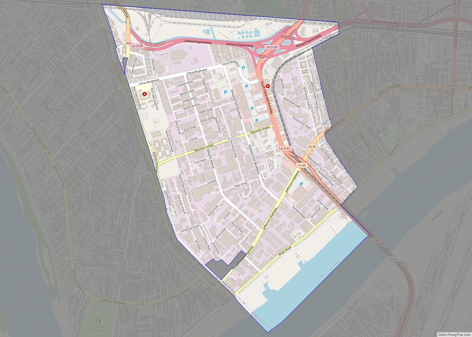
Online Interactive Map
Click on ![]() to view map in "full screen" mode.
to view map in "full screen" mode.
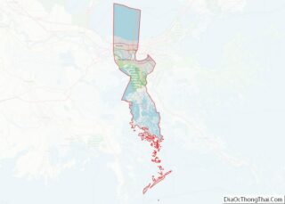
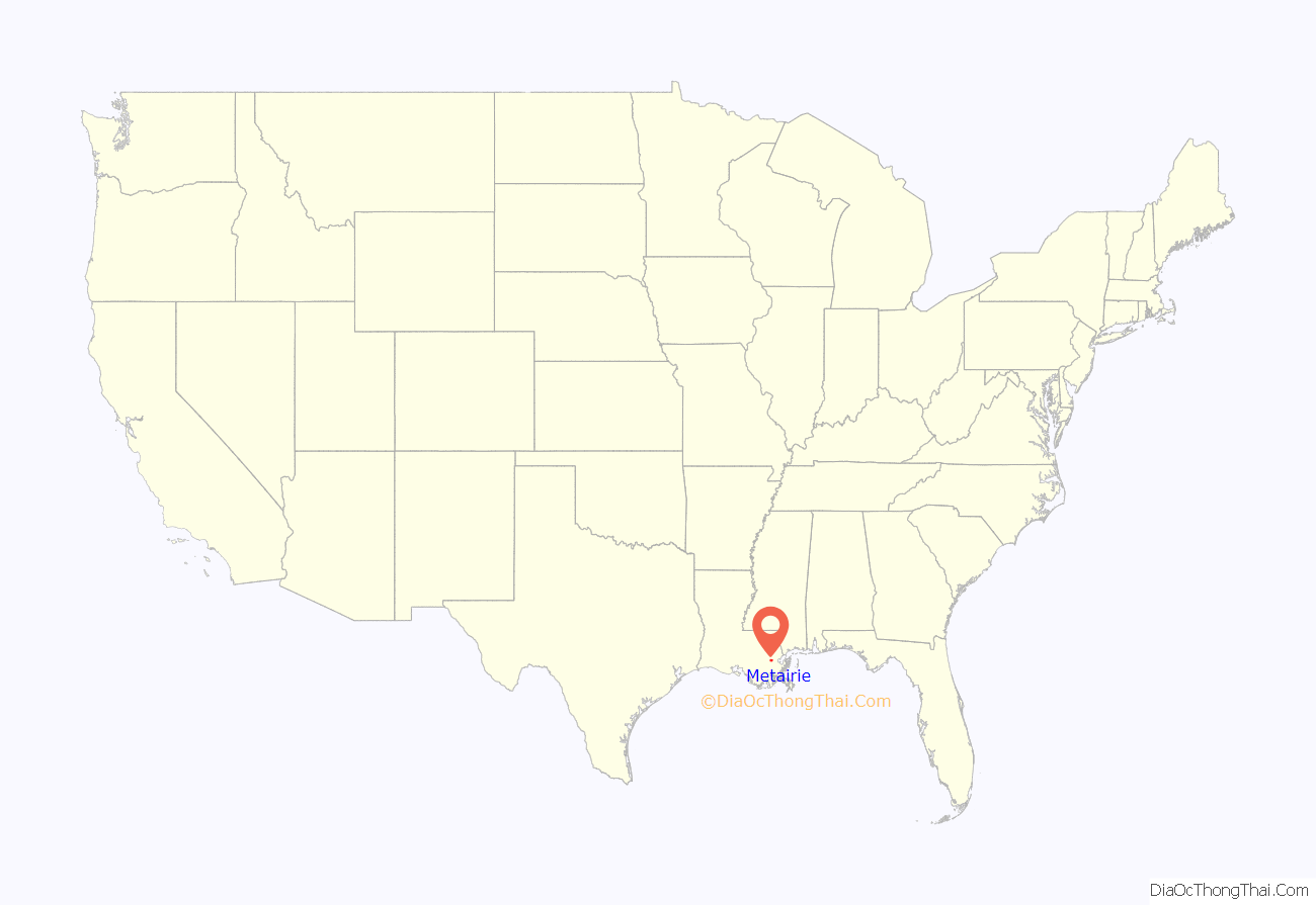
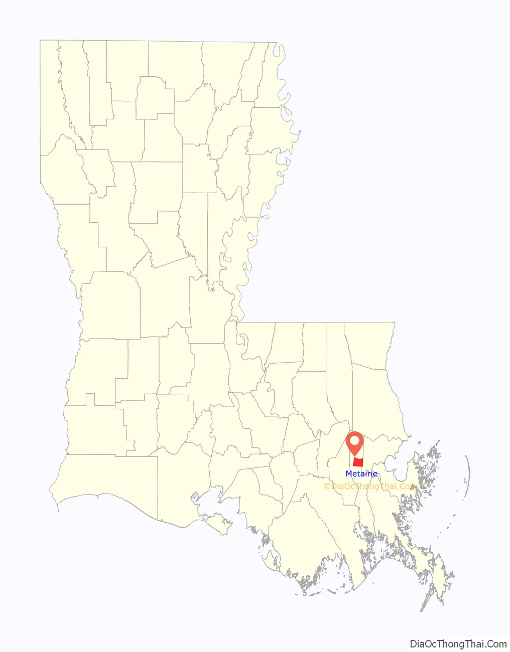
Metairie location map. Where is Metairie CDP?
History
In the 1720s French settlers became the first Europeans to settle Metairie in the area known then as Tchoupitoulas and now as Metairie Ridge, a natural levee formed by an ancient branch of the Mississippi River, Bayou Metairie, which flowed through modern-day River Ridge, Metairie, Gentilly, and New Orleans East. It emptied into Mississippi Sound. The Acolapissa Native Americans used this ridge as a road; it is the oldest road in the New Orleans area. Paved in the 1920s, it is called Metairie Road. An electric streetcar was installed running along Metairie Road in the late 1910s, opening the area to greater development. Upscale housing tracts were constructed off the road in the 1920s; this area is now known as “Old Metairie”. The areas to the north and northwest of Metairie Road were not developed until after World War II. The land between Metairie Ridge and Lake Pontchartrain, which was cypress swamps and marshlands, was drained with the Wood Pump. With development of this new land for residences, Metairie’s population grew in the 1940s as a result of cheaper land, lower taxes, and larger lots as compared to Orleans Parish.
The 1947 Fort Lauderdale hurricane, with winds of 125 mph (201 km/h), directly hit Metairie. Much of the community was under 6 feet (1.8 m) of water.
Hurricane Betsy, a Category Three storm, hit the area in 1965, causing extensive wind damage and moderate flooding. In 1995 the May 8th 1995 Louisiana flood, which dumped upwards of 20 inches (510 mm) of rain into Metairie in a twelve-hour period, also flooded some parts of the region, especially areas south and west of Metairie, including Kenner, Harahan, and River Ridge.
In 1989, a Metairie district elected white supremacist David Duke to the Louisiana state legislature for a single term.
On August 29, 2005, Hurricane Katrina caused a new migration from Orleans Parish, because housing was needed to replace what had been destroyed in the flooding of the city. It has been a racially neutral migration, with equal numbers of black and white residents moving to Jefferson Parish. The 2010 census showed that Metairie has increasingly become more diverse.
Veterans Boulevard was laid out alongside a drainage canal, and became a commercial center of the region. The central business district of Metairie is located on Causeway Boulevard near Lake Pontchartrain. Metairie also has one of the handful of major malls located in the New Orleans metro area. Lakeside Shopping Center is the highest-grossing mall in the New Orleans metropolitan area. In the 1970s and early 1980s, an area of bars and nightclubs opened in a section of Metairie known as “Fat City”, which is now the most racially diverse area in the New Orleans metropolitan area and is home to a vibrant restaurant scene. Several New Orleans radio and television stations have transmitter facilities in Metairie and Jefferson Parish; two of them, WGNO-TV and WNOL, now have studios and main offices in Metairie. Metairie has a large Mardi Gras season that touts itself as more family-friendly than the New Orleans Mardi Gras.
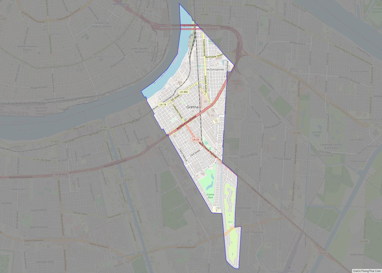
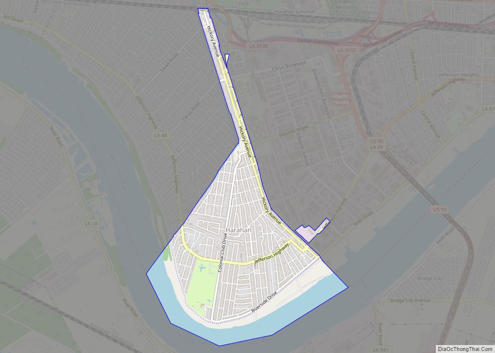
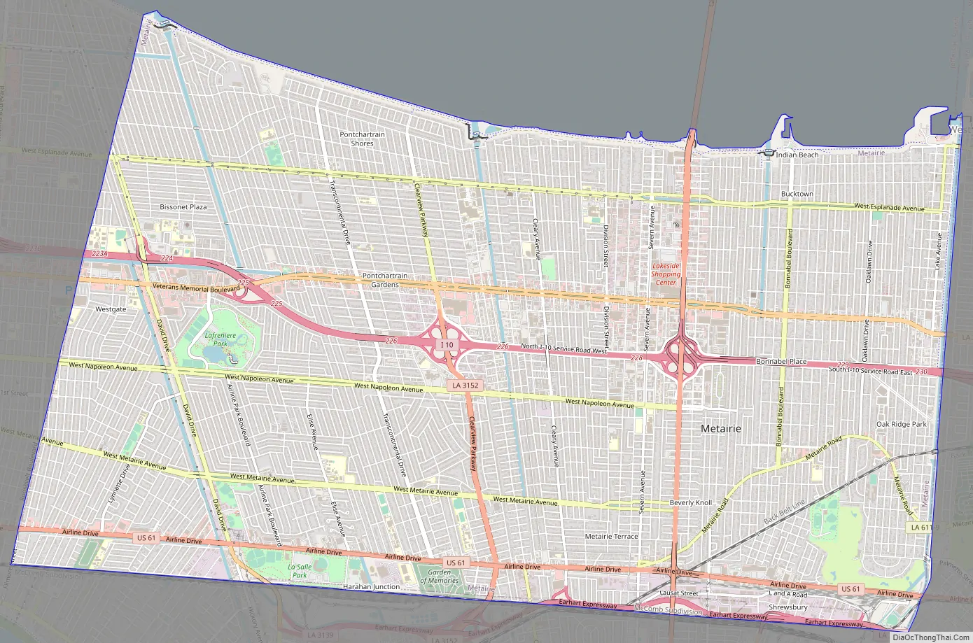
Metairie Road Map
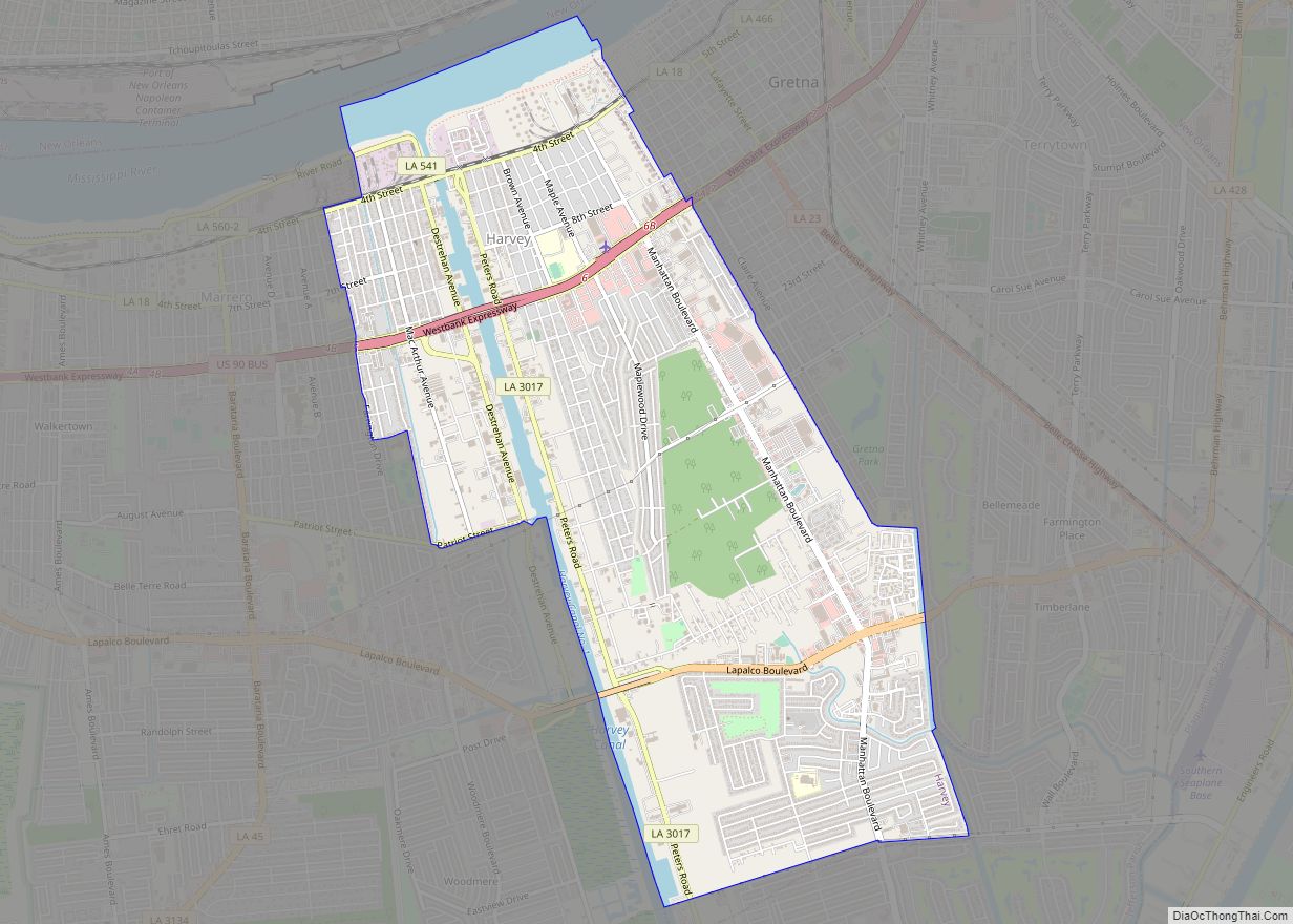
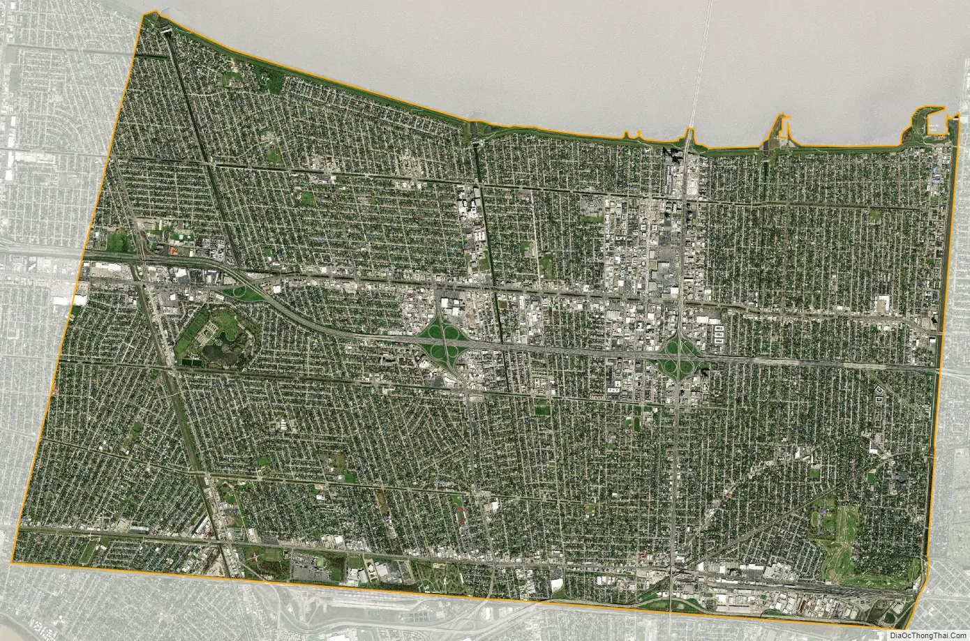
Metairie city Satellite Map
Geography
Metairie is located in eastern Jefferson Parish and is bordered by New Orleans to the east, Kenner to the west, Lake Pontchartrain to the north, and the Illinois Central Railroad tracks to the south. South of the railroad are River Ridge, Harahan, Elmwood, and Jefferson. The 17th Street Canal forms the border between Metairie and New Orleans to the east. It is a principal community in Greater New Orleans. According to the U.S. Census Bureau, the Metairie CDP has a total area of 23.2 square miles (60.2 km), of which 23.2 square miles (60.1 km) is land and 0.04 square miles (0.1 km), or 0.18%, is water.
Climate
The climate of Metairie has been classified as humid subtropical. Like the city of New Orleans, it has short, generally mild winters and hot, humid summers. The average precipitation is 62.5 in (1,590 mm) annually; the summer months are the wettest, while October is the driest month. Precipitation in winter usually accompanies the passing of a cold front. On average, there are 77 days of 90 °F (32 °C) or greater highs, 8.1 days per winter where the high does not exceed 50 °F (10 °C), and 8.0 nights with freezing lows annually. It is rare for the temperature to reach 20 or 100 °F (−6.7 or 37.8 °C), with the last occurrence of each being February 5, 1996, and June 26, 2016, respectively.
Tallest buildings
Three Lakeway Center stands at 403 ft (123 m).
See also
Map of Louisiana State and its subdivision:- Acadia
- Allen
- Ascension
- Assumption
- Avoyelles
- Beauregard
- Bienville
- Bossier
- Caddo
- Calcasieu
- Caldwell
- Cameron
- Catahoula
- Claiborne
- Concordia
- De Soto
- East Baton Rouge
- East Carroll
- East Feliciana
- Evangeline
- Franklin
- Grant
- Iberia
- Iberville
- Jackson
- Jefferson
- Jefferson Davis
- La Salle
- Lafayette
- Lafourche
- Lincoln
- Livingston
- Madison
- Morehouse
- Natchitoches
- Orleans
- Ouachita
- Plaquemines
- Pointe Coupee
- Rapides
- Red River
- Richland
- Sabine
- Saint Bernard
- Saint Charles
- Saint Helena
- Saint James
- Saint John the Baptist
- Saint Landry
- Saint Martin
- Saint Mary
- Saint Tammany
- Tangipahoa
- Tensas
- Terrebonne
- Union
- Vermilion
- Vernon
- Washington
- Webster
- West Baton Rouge
- West Carroll
- West Feliciana
- Winn
- Alabama
- Alaska
- Arizona
- Arkansas
- California
- Colorado
- Connecticut
- Delaware
- District of Columbia
- Florida
- Georgia
- Hawaii
- Idaho
- Illinois
- Indiana
- Iowa
- Kansas
- Kentucky
- Louisiana
- Maine
- Maryland
- Massachusetts
- Michigan
- Minnesota
- Mississippi
- Missouri
- Montana
- Nebraska
- Nevada
- New Hampshire
- New Jersey
- New Mexico
- New York
- North Carolina
- North Dakota
- Ohio
- Oklahoma
- Oregon
- Pennsylvania
- Rhode Island
- South Carolina
- South Dakota
- Tennessee
- Texas
- Utah
- Vermont
- Virginia
- Washington
- West Virginia
- Wisconsin
- Wyoming