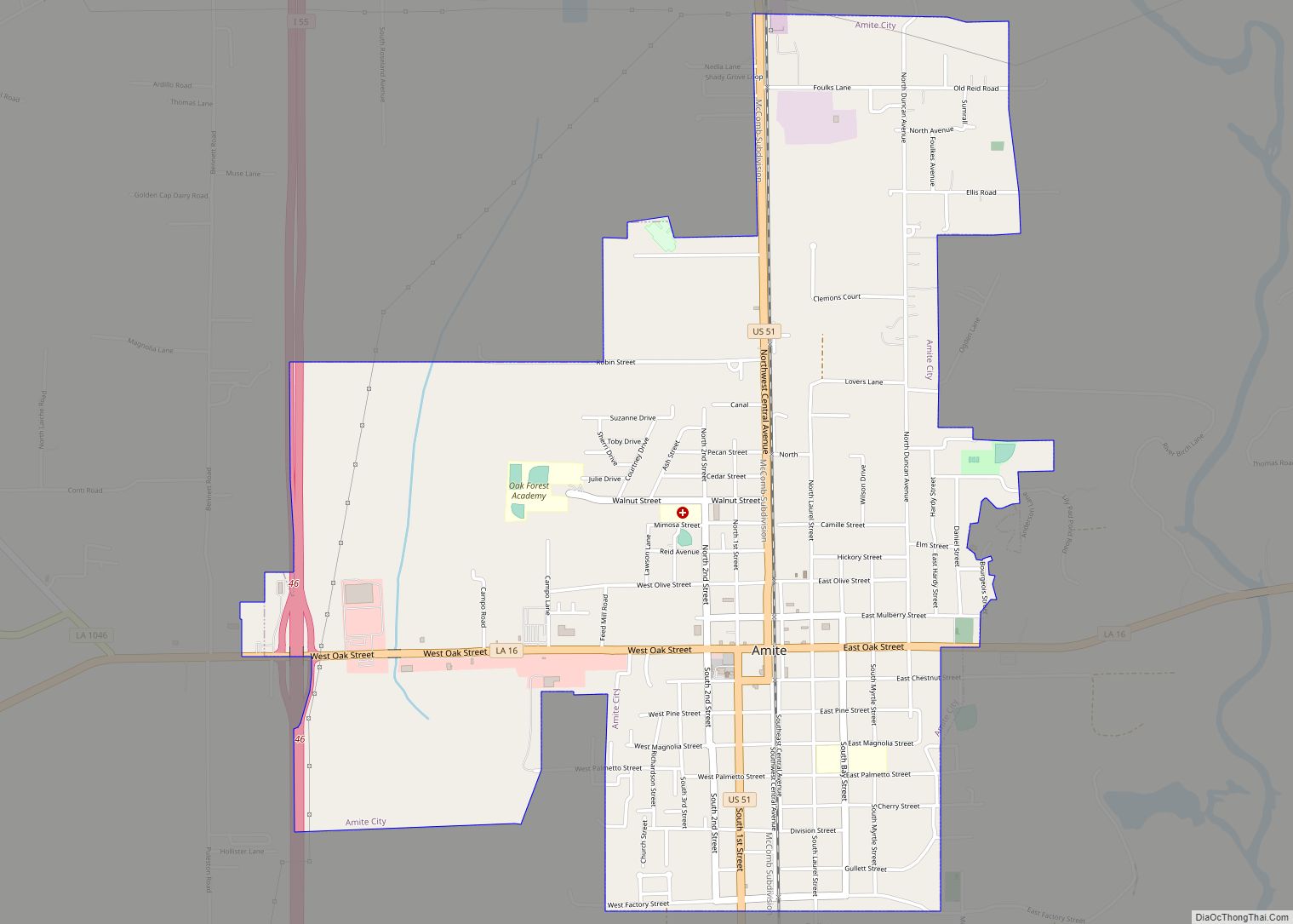
Hammond is the largest city in Tangipahoa Parish, Louisiana, United States, located 45 miles (72 km) east of Baton Rouge and 45 miles (72 km) northwest of New Orleans. Its population was 20,019 in the 2010 U.S. census, and 21,359 at the 2020 population estimates program.
Hammond is home to Southeastern Louisiana University. It is the principal city of the Hammond metropolitan statistical area, which includes all of Tangipahoa Parish and is a part of the New Orleans-Metairie-Hammond combined statistical area.
| Name: | Hammond city |
|---|---|
| LSAD Code: | 25 |
| LSAD Description: | city (suffix) |
| State: | Louisiana |
| County: | Tangipahoa Parish |
| Elevation: | 43 ft (13 m) |
| Total Area: | 14.25 sq mi (36.92 km²) |
| Land Area: | 14.25 sq mi (36.91 km²) |
| Water Area: | 0.00 sq mi (0.01 km²) |
| Total Population: | 19,584 |
| Population Density: | 1,374.22/sq mi (530.59/km²) |
| ZIP code: | 70401, 70403 |
| Area code: | 985 |
| FIPS code: | 2232755 |
| Website: | www.hammond.org |
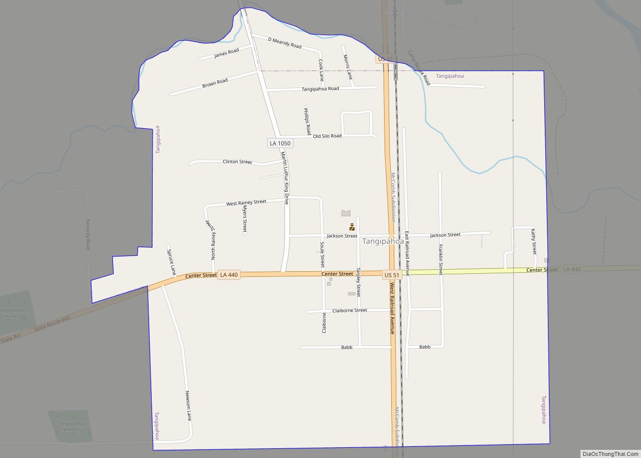
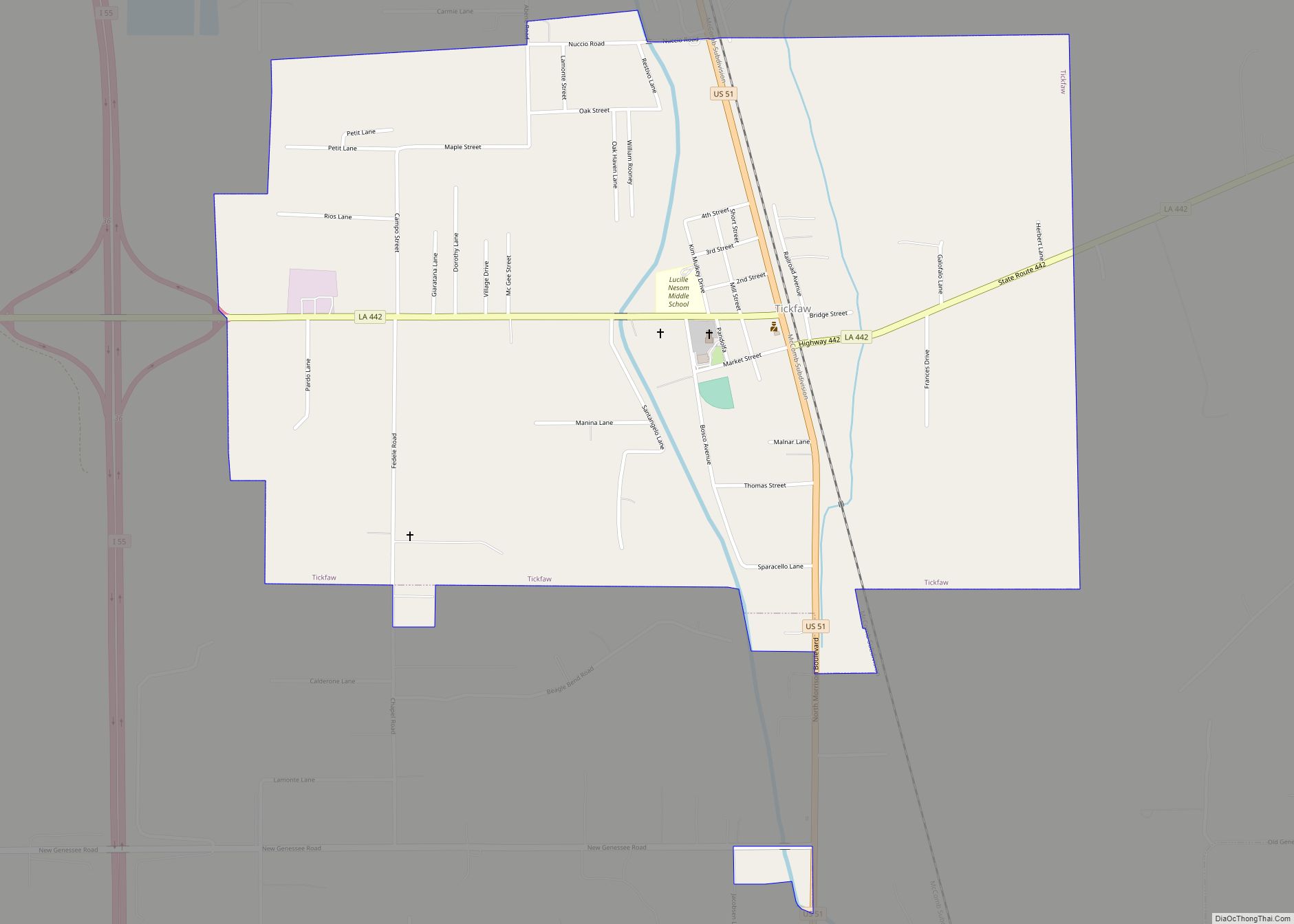
Online Interactive Map
Click on ![]() to view map in "full screen" mode.
to view map in "full screen" mode.
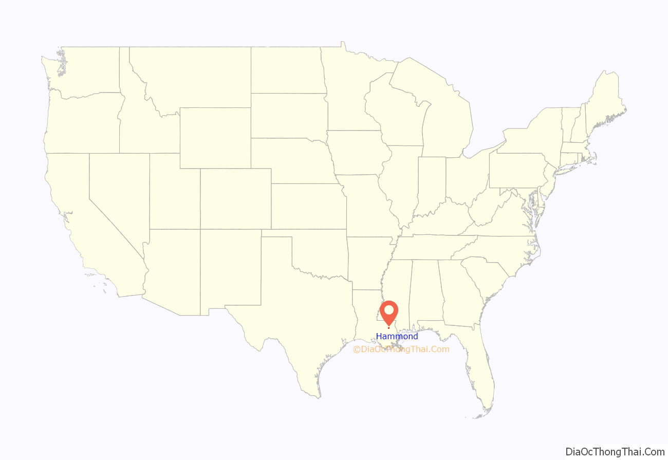
Hammond location map. Where is Hammond city?
History
19th century
The city is named for Peter Hammond (1798–1870), the surname anglicized from Peter av Hammerdal (Peter of Hammerdal) — a Swedish immigrant known as the first European settler, arriving around 1818. Peter, a sailor, had been briefly imprisoned by the British at Dartmoor Prison during the Napoleonic Wars. He escaped during a prison riot, made his way back to sea, and later reached New Orleans.
Hammond used his savings to buy then-inexpensive land northwest of Lake Pontchartrain. He developed a plantation to cultivate trees, which he made into masts, charcoal, and other products for the maritime industry in New Orleans. He transported the goods by oxcart to the head of navigation on the Natalbany River at Springfield. He held at least 30 enslaved African Americans before the Civil War. Hammond lost his wealth during the war, as Union soldiers raided his property.
In 1854, the New Orleans, Jackson and Great Northern Railroad (later the Illinois Central Railroad, now Canadian National Railway) came through the area, launching the town’s emergence as a commercial and transport center. The point where the railroad met the trail to Springfield was at first known as Hammond’s Crossing.
During the Civil War, the city was a shoe-making center for the Confederate States Army. Charles Emery Cate developed the shoe industry after buying land in the city in 1860 for his home, a shoe factory, a tannery, and a sawmill. Toward the end of the war, Cate laid out the town’s grid, using the rail line as a guide and naming several of the streets after his sons. Also, Cate Street is named for him.
After the Civil War, light industry and commercial activities were attracted to the town. By the end of the 19th century, Hammond had become a stopping point for northern rail passengers traveling south and for New Orleanians heading north to escape seasonal summer yellow fever outbreaks. The city later became a shipping point for strawberries. A state historical plaque downtown marks it as “Strawberry Capital of America”.
20th and 21st centuries
In the 1920s, David William Thomas edited a weekly newspaper in Hammond prior to moving to Minden, the seat of Webster Parish. There, he was elected mayor in 1936.
In 1932, Hodding Carter founded the Hammond Daily Courier, which he left in 1939 to move to Greenville, Mississippi. The paper closed. Carter later received a Pulitzer Prize for his reporting on the Civil Rights Movement.
In 1944, the Tangipahoa Parish Library – Hammond branch was established.
Since 1959, The Daily Star has been Hammond’s locally published daily newspaper.
During World War II, the Hammond Airport (now Hammond Northshore Regional Airport) served as a detention camp for prisoners of war from Nazi Germany.
Additionally, the U.S. Army established and used the 15,216-acre (61.58 km) Hammond Bombing and Gunnery Range east of the city. In the early 21st century, Army Corps of Engineers searched for remaining explosives in this area.
Today, Hammond is intersected by Interstates 12 and 55. Its airport has a long runway which serves as a backup landing site for Louis Armstrong New Orleans International Airport. It is also a major training site for the Louisiana Army National Guard, and the home base for the Louisiana Air National Guard’s 236th Combat Communications Squadron.
About 15 mi (24 km) south of the city, on both the railroad and I–55, lies Port Manchac, which provides egress via Lake Pontchartrain to the Gulf of Mexico. The combination of highway-rail-air-sea transportation has transformed modern Hammond from a strawberry capital to a transportation capital. The city hosts numerous warehouses and is a distribution point for Walmart and other major businesses. Southeastern Louisiana University in Hammond offers the state’s only academic degree in supply chain management.
In 1953, John Desmond opened the first architectural firm in Hammond. He was chief architect of the Tangipahoa Parish School Board for some two decades before he relocated to Baton Rouge.
Among the city’s cultural resources is the Tangipahoa African American Heritage Museum. This is one of the destinations on the Louisiana African American Heritage Trail. Southeastern took over the Columbia Theatre in the designated Hammond Historic District to use as a downtown cultural venue. The former movie theater was constructed in 1928 and renovated by the university in the 1990s for $5.6 million.
The city was the base for production of the first season of the NBC television series In the Heat of the Night, starring Carroll O’Connor and airing in 1988. This series was adapted from the 1967 film of the same name.
On August 29, 2021, Hammond suffered a direct strike by the eastern eyewall of Hurricane Ida. It dropped more than 12 inches (300 mm) of rain, and caused severe flash flooding, and significant wind damage.
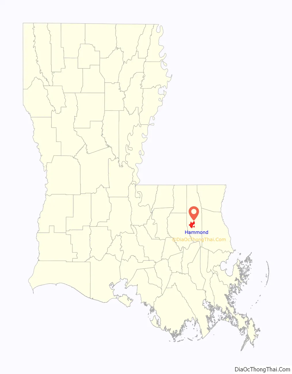
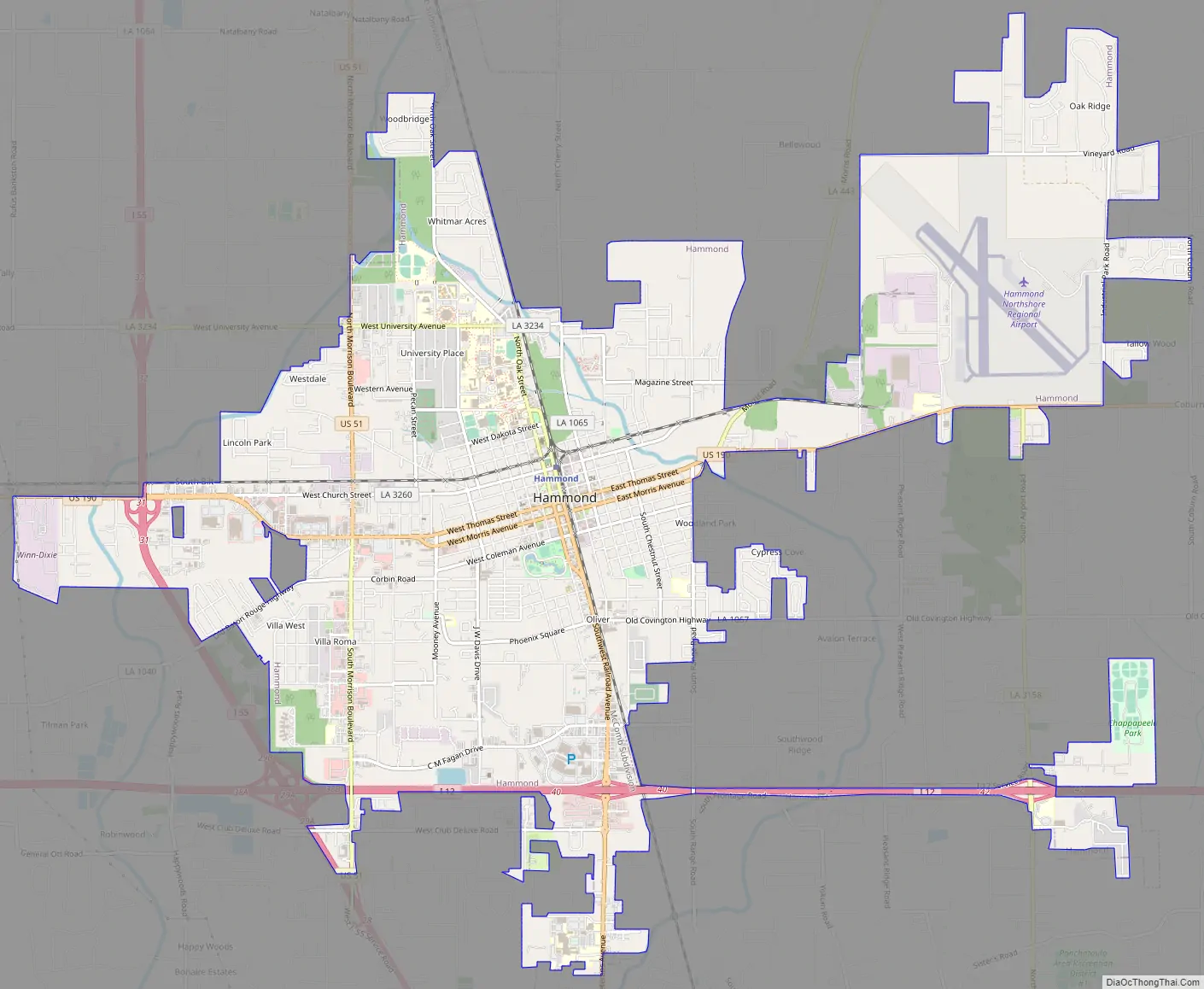
Hammond Road Map
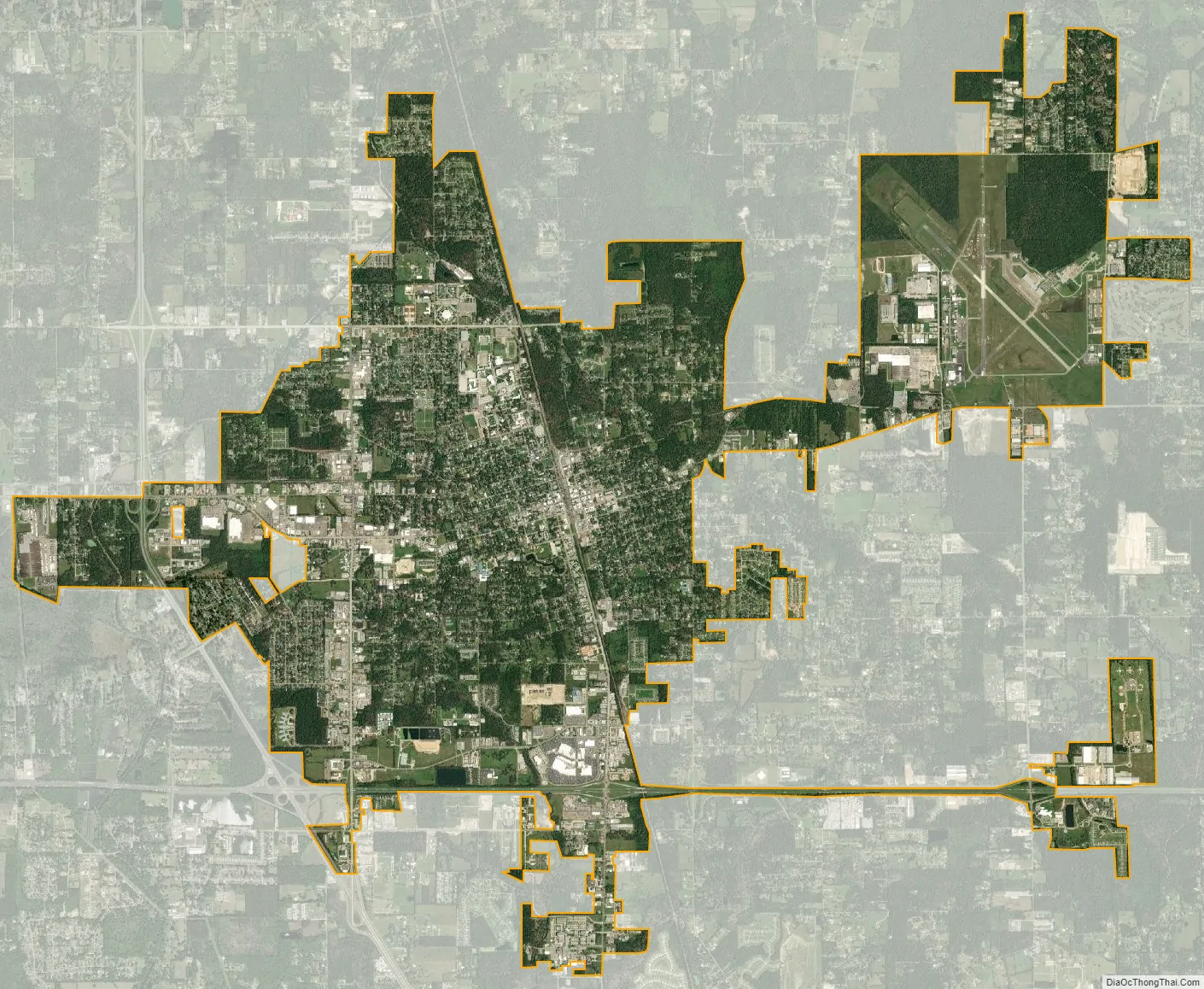
Hammond city Satellite Map
Geography
Hammond is located at 30°30′16″N 90°27′56″W / 30.50444°N 90.46556°W / 30.50444; -90.46556 (30.504446, -90.465616) and has an elevation of 43 feet (13.1 m). According to the United States Census Bureau, the city has a total area of 12.8 square miles (33 km), of which 12.8 square miles (33 km) is land and 0.08% is water.
Climate
The climate in this area is characterized by hot, humid summers and generally mild to cool winters. According to the Köppen climate classification system, Hammond has a humid subtropical climate, Cfa on climate maps.
See also
Map of Louisiana State and its subdivision:- Acadia
- Allen
- Ascension
- Assumption
- Avoyelles
- Beauregard
- Bienville
- Bossier
- Caddo
- Calcasieu
- Caldwell
- Cameron
- Catahoula
- Claiborne
- Concordia
- De Soto
- East Baton Rouge
- East Carroll
- East Feliciana
- Evangeline
- Franklin
- Grant
- Iberia
- Iberville
- Jackson
- Jefferson
- Jefferson Davis
- La Salle
- Lafayette
- Lafourche
- Lincoln
- Livingston
- Madison
- Morehouse
- Natchitoches
- Orleans
- Ouachita
- Plaquemines
- Pointe Coupee
- Rapides
- Red River
- Richland
- Sabine
- Saint Bernard
- Saint Charles
- Saint Helena
- Saint James
- Saint John the Baptist
- Saint Landry
- Saint Martin
- Saint Mary
- Saint Tammany
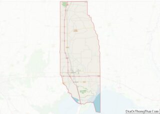
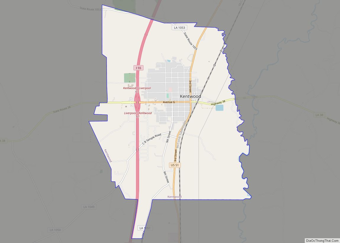
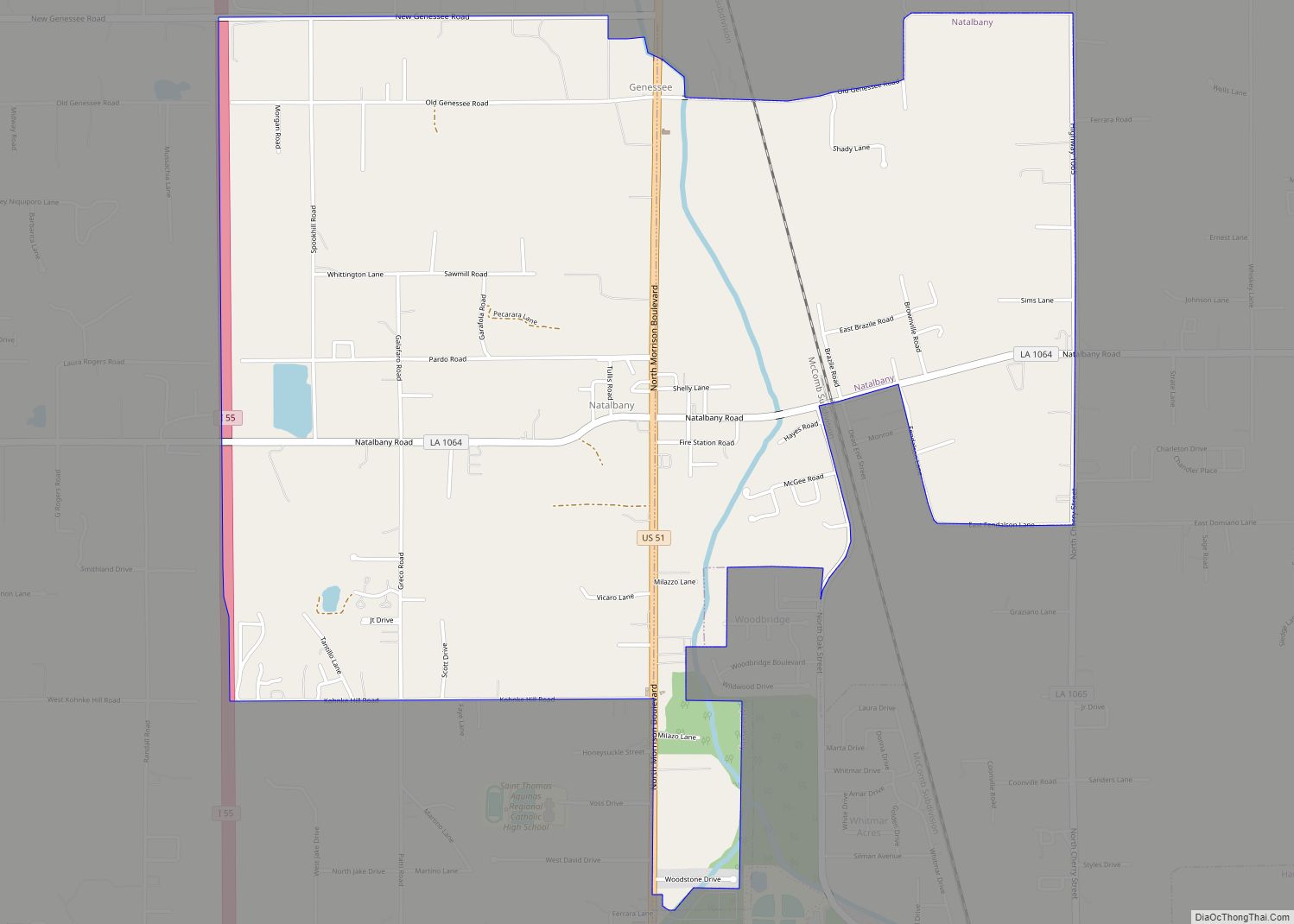
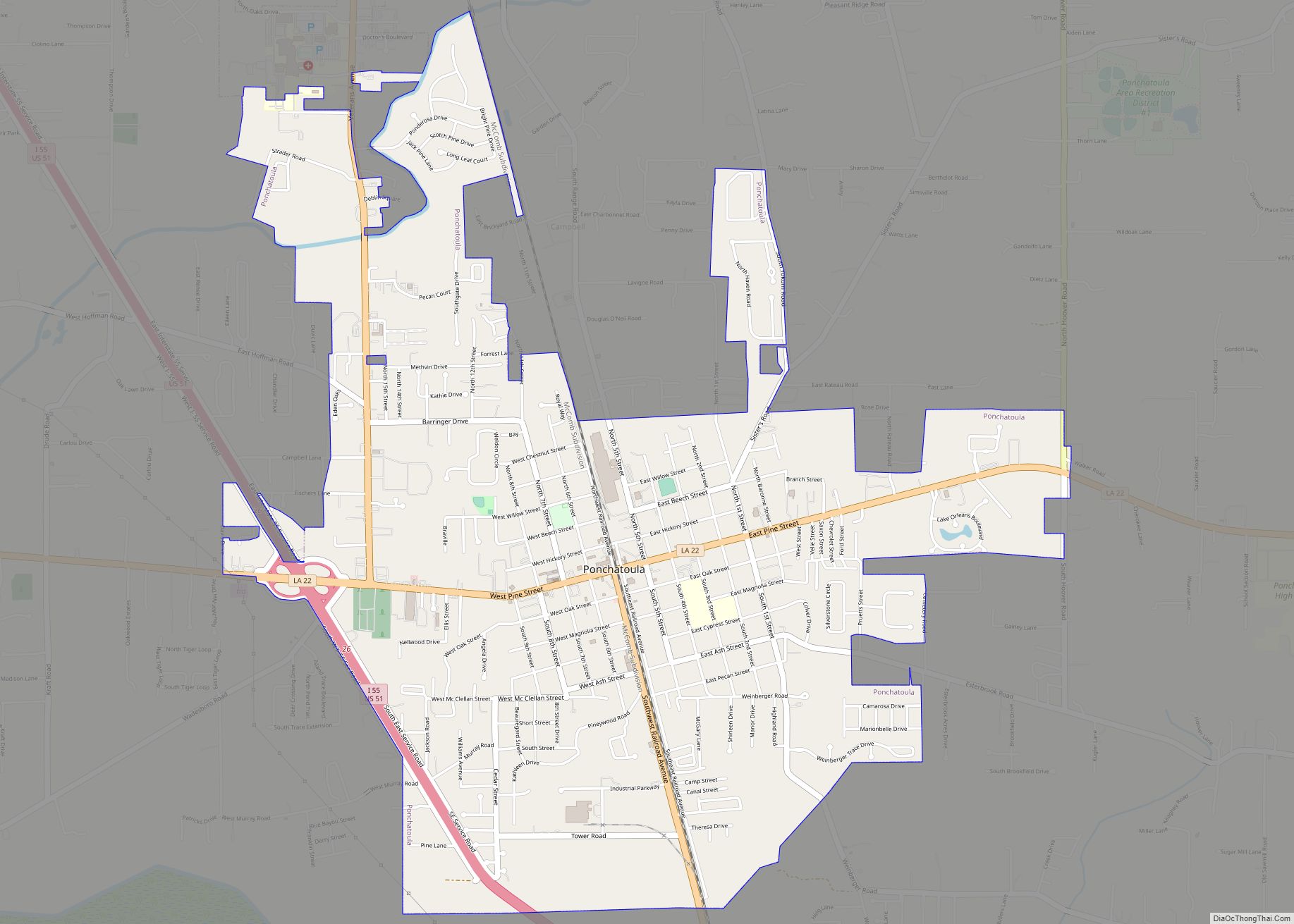
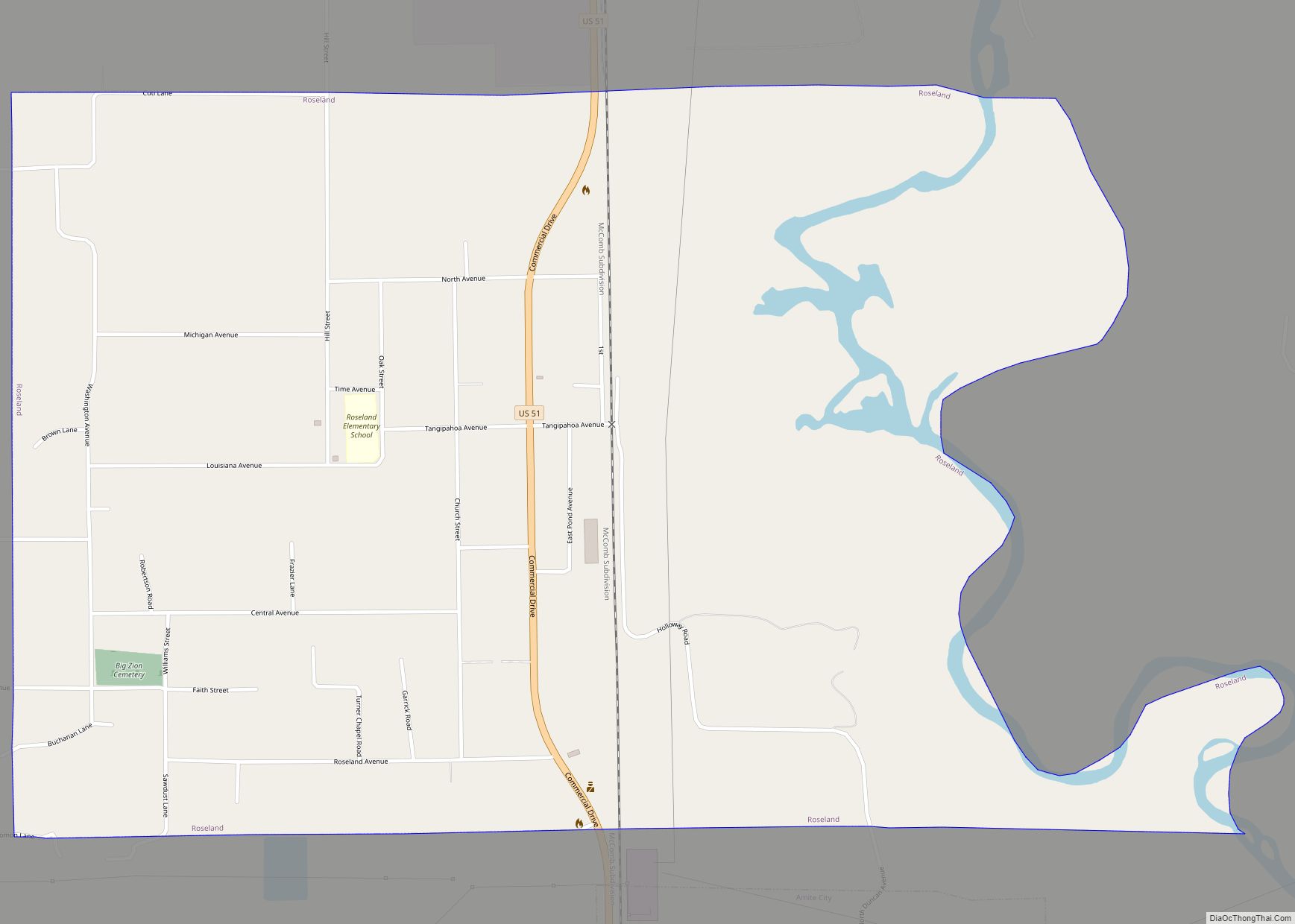
- Tangipahoa
- Tensas
- Terrebonne
- Union
- Vermilion
- Vernon
- Washington
- Webster
- West Baton Rouge
- West Carroll
- West Feliciana
- Winn
- Alabama
- Alaska
- Arizona
- Arkansas
- California
- Colorado
- Connecticut
- Delaware
- District of Columbia
- Florida
- Georgia
- Hawaii
- Idaho
- Illinois
- Indiana
- Iowa
- Kansas
- Kentucky
- Louisiana
- Maine
- Maryland
- Massachusetts
- Michigan
- Minnesota
- Mississippi
- Missouri
- Montana
- Nebraska
- Nevada
- New Hampshire
- New Jersey
- New Mexico
- New York
- North Carolina
- North Dakota
- Ohio
- Oklahoma
- Oregon
- Pennsylvania
- Rhode Island
- South Carolina
- South Dakota
- Tennessee
- Texas
- Utah
- Vermont
- Virginia
- Washington
- West Virginia
- Wisconsin
- Wyoming