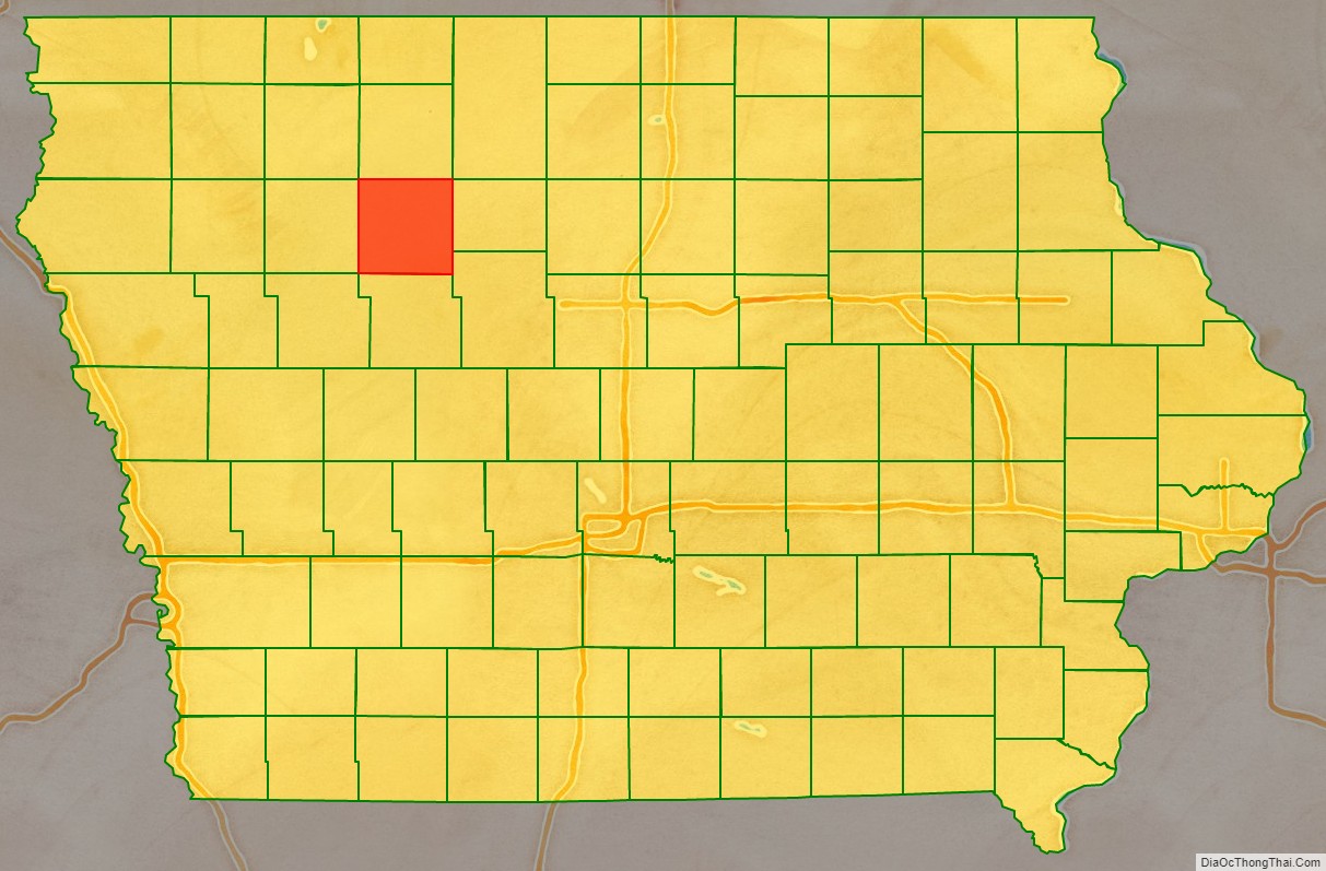
Pocahontas County is a county located in Iowa, United States. As of the 2020 census the population was 7,078, making it the state’s ninth-least populous county. The county seat is Pocahontas. The county was formed in 1851.
The county is named in honor of Pocahontas, the famous Native American woman from Jamestown, Virginia. A colossal statue of her stands in the city of Pocahontas.
| Name: | Pocahontas County |
|---|---|
| FIPS code: | 19-151 |
| State: | Iowa |
| Founded: | 1851 |
| Named for: | Pocahontas |
| Seat: | Pocahontas |
| Largest city: | Pocahontas |
| Total Area: | 579 sq mi (1,500 km²) |
| Land Area: | 577 sq mi (1,490 km²) |
| Total Population: | 7,078 |
| Population Density: | 12/sq mi (4.7/km²) |
| Time zone: | UTC−6 (Central) |
| Summer Time Zone (DST): | UTC−5 (CDT) |
| Website: | pocahontascounty.iowa.gov |
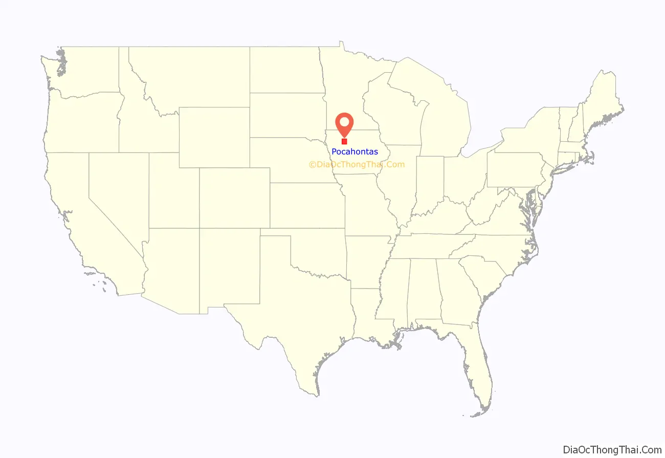
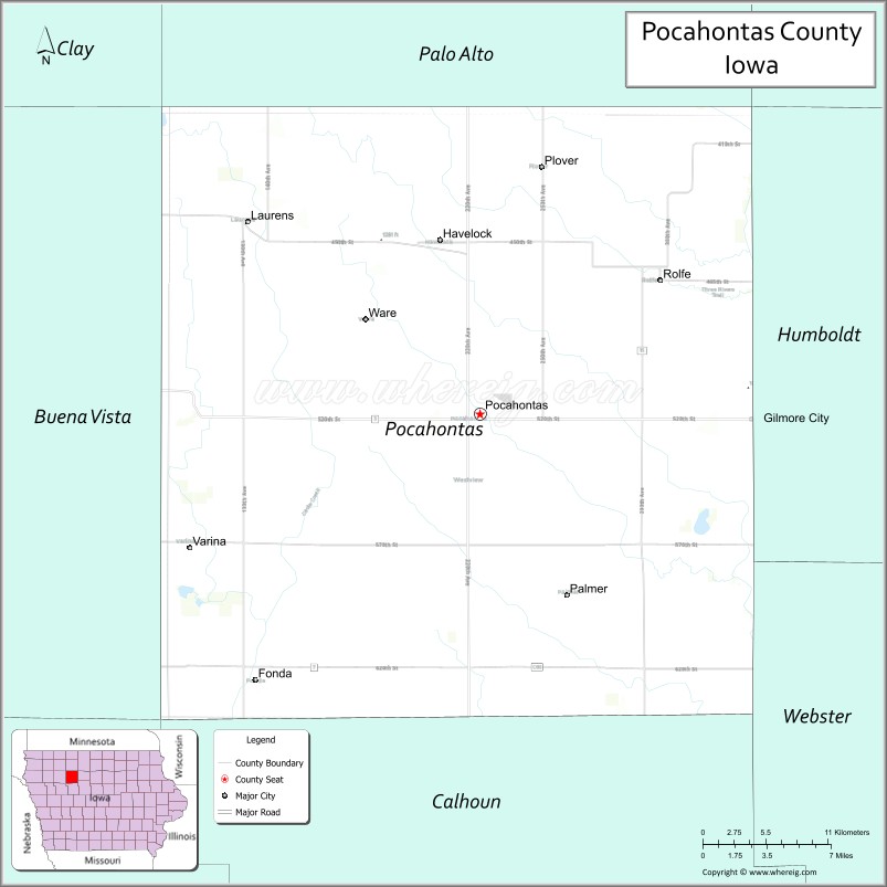
Pocahontas County location map. Where is Pocahontas County?
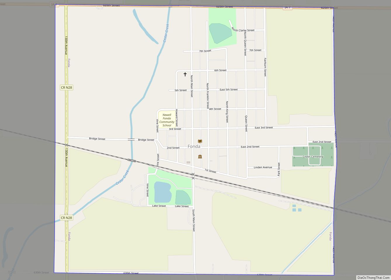
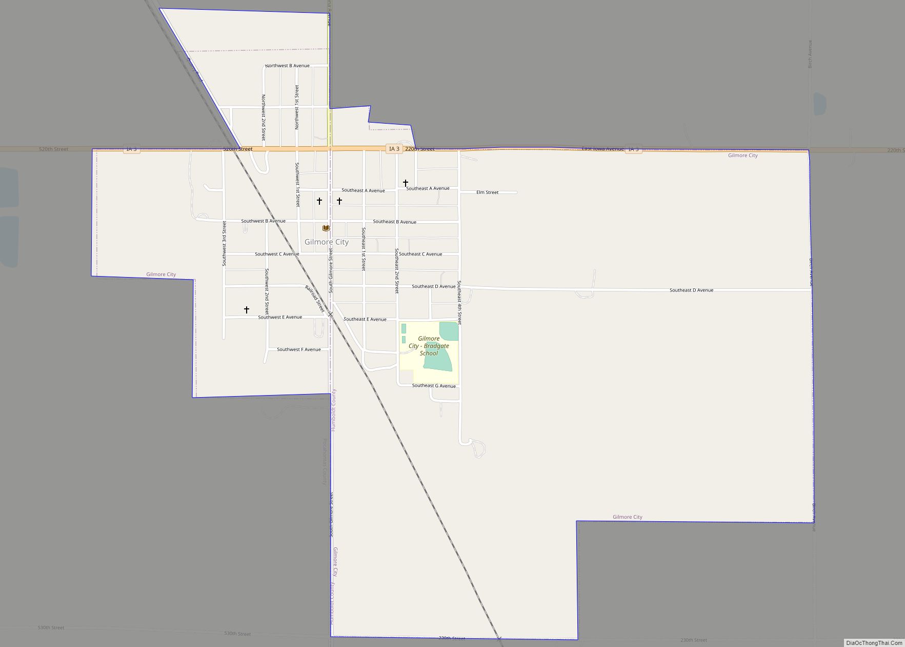
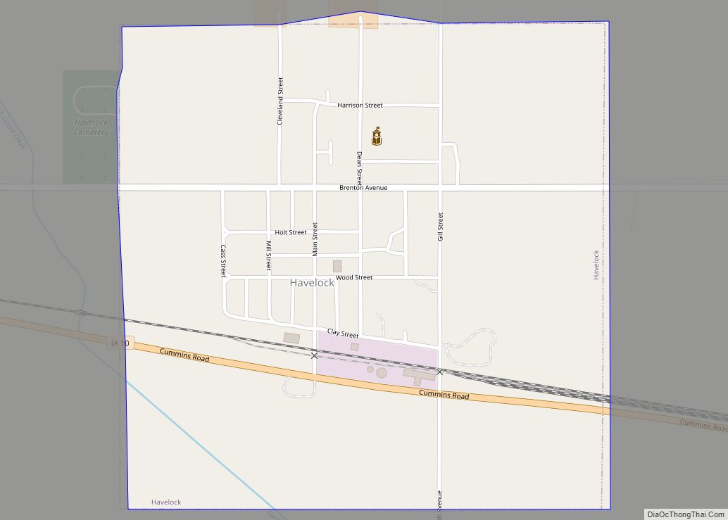
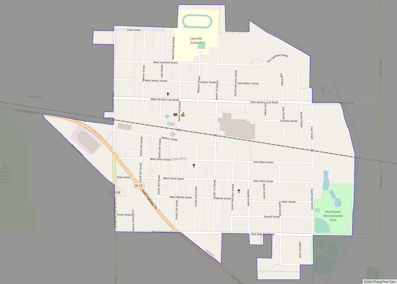
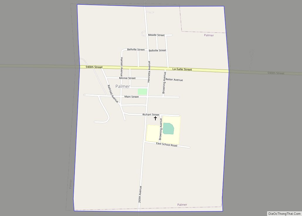
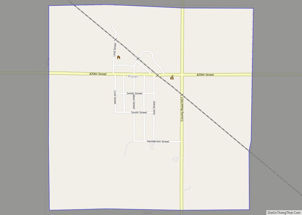
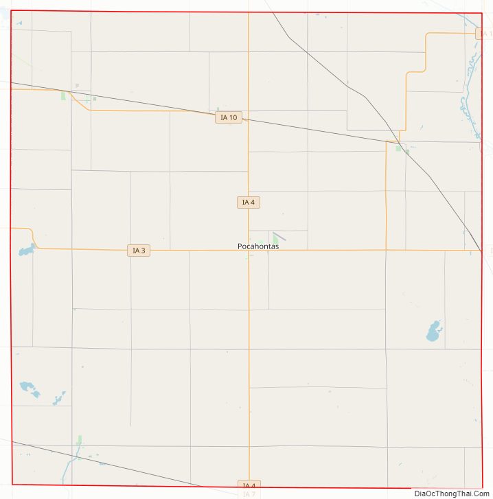
Pocahontas County Road Map
Geography
According to the U.S. Census Bureau, the county has a total area of 579 square miles (1,500 km), of which 577 square miles (1,490 km) is land and 1.4 square miles (3.6 km) (0.2%) is water.
Major highways
- Iowa Highway 3
- Iowa Highway 4
- Iowa Highway 7
- Iowa Highway 10
- Iowa Highway 15
Adjacent counties
- Palo Alto County (north)
- Humboldt County (east)
- Webster County (southeast)
- Calhoun County (south)
- Buena Vista County (west)
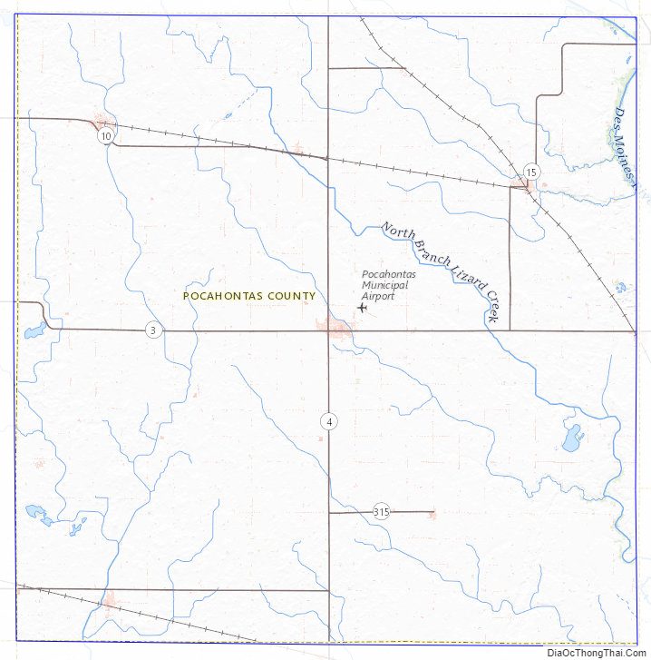
Pocahontas County Topographic Map
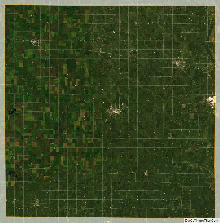
Pocahontas County Satellite Map
Pocahontas County Outline Map