Pocahontas is a city in and the county seat of Pocahontas County, Iowa, United States. The population was 1,867 in the 2020 census, a decline from the 1,970 population in 2000.
| Name: | Pocahontas city |
|---|---|
| LSAD Code: | 25 |
| LSAD Description: | city (suffix) |
| State: | Iowa |
| County: | Pocahontas County |
| Incorporated: | May 16, 1892 |
| Elevation: | 1,220 ft (372 m) |
| Total Area: | 1.98 sq mi (5.12 km²) |
| Land Area: | 1.98 sq mi (5.12 km²) |
| Water Area: | 0.00 sq mi (0.00 km²) |
| Total Population: | 1,867 |
| Population Density: | 944.84/sq mi (364.81/km²) |
| ZIP code: | 50574 |
| Area code: | 712 |
| FIPS code: | 1963975 |
| GNISfeature ID: | 0460342 |
| Website: | www.pocahontasiowa.com |
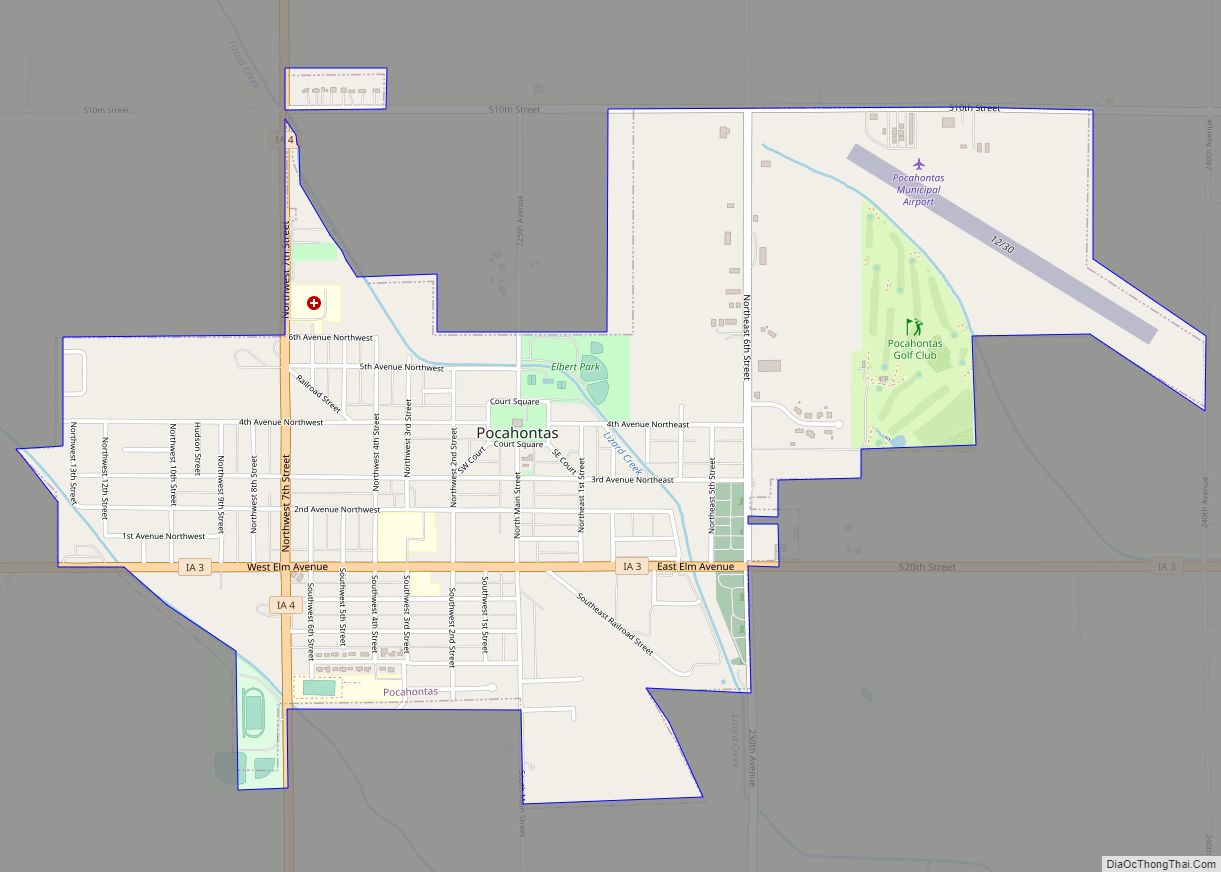
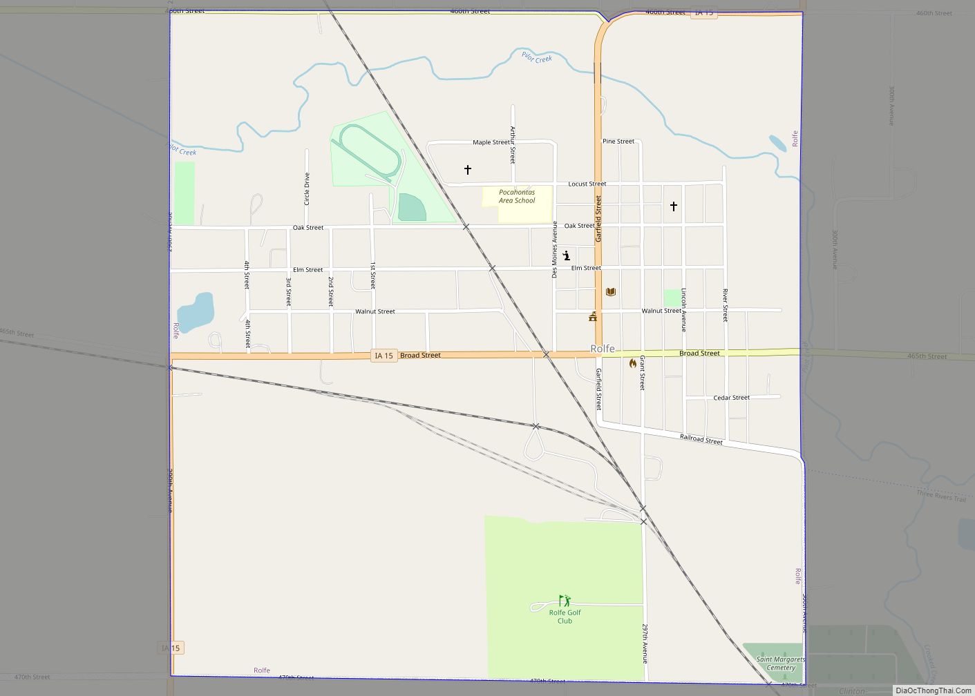
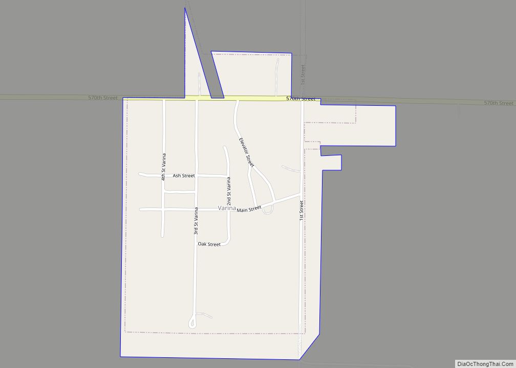
Online Interactive Map
Click on ![]() to view map in "full screen" mode.
to view map in "full screen" mode.
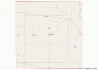
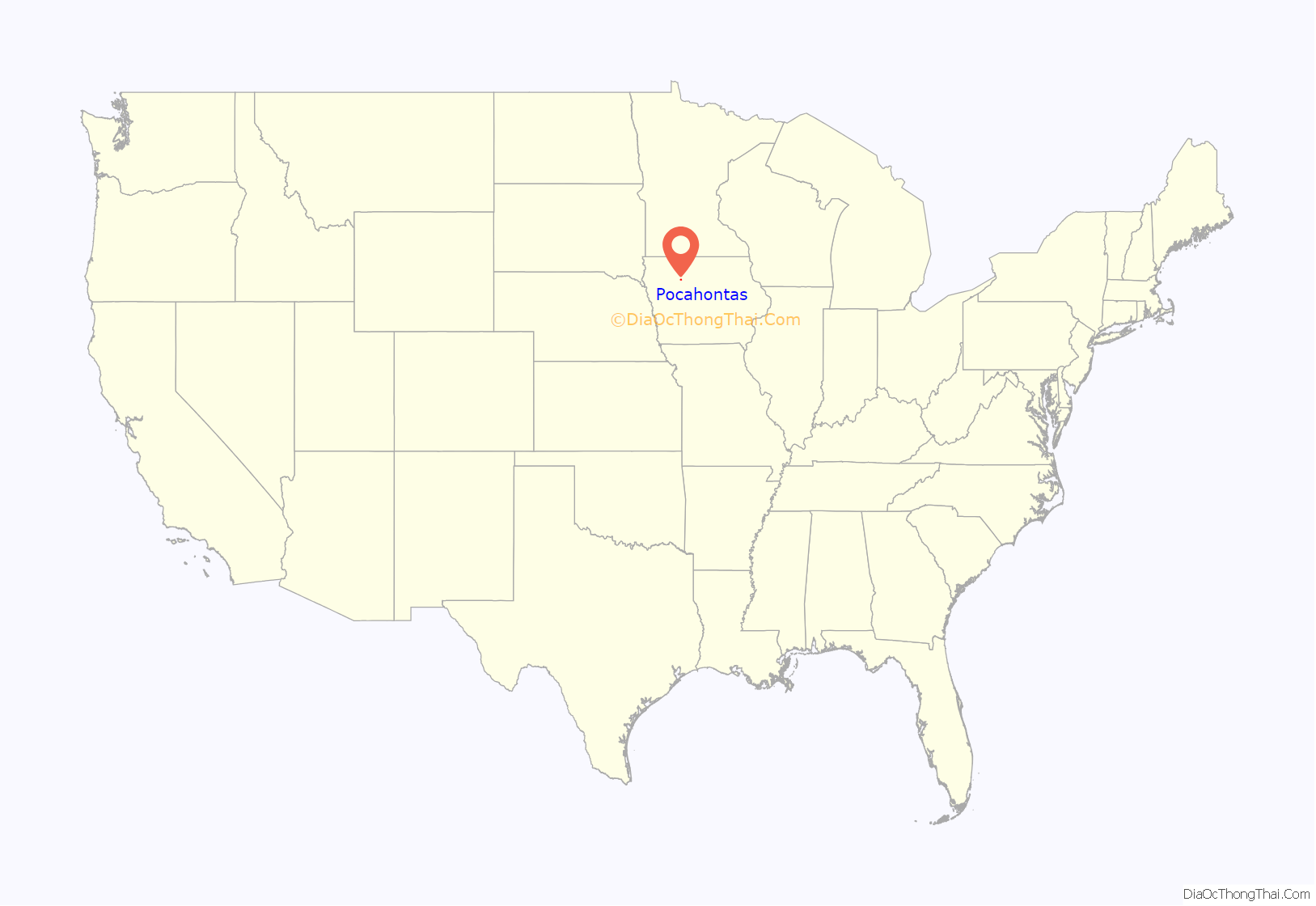
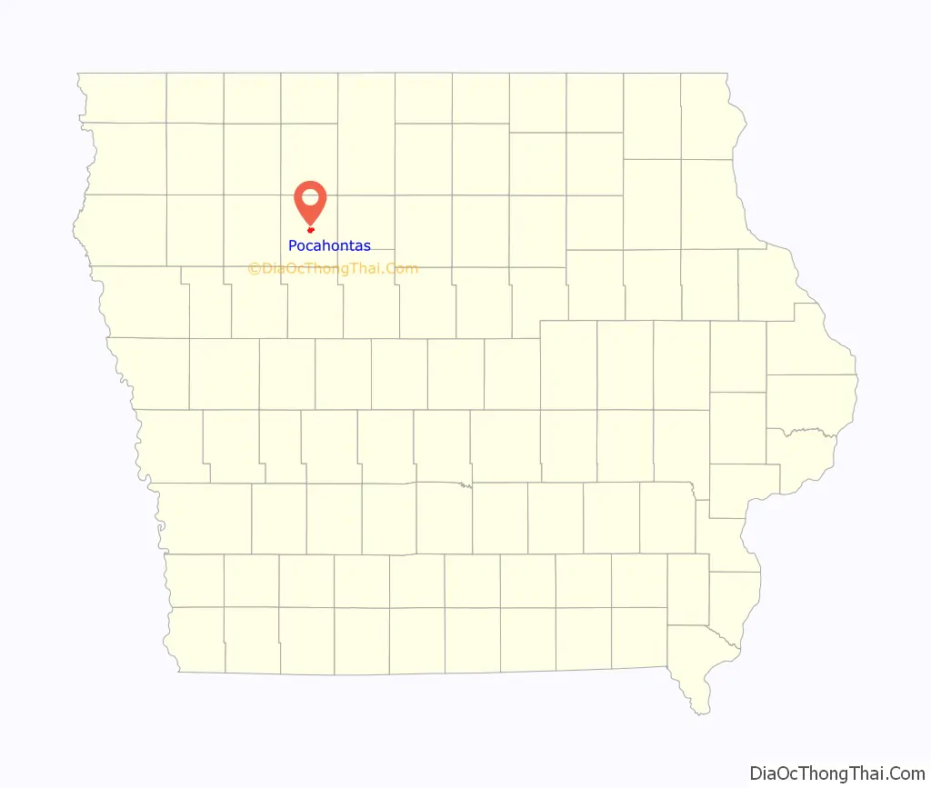
Pocahontas location map. Where is Pocahontas city?
History
Pocahontas was first settled and surveyed in 1870 by Warrick and Buelah Price of Cleveland, Ohio. The city was named after Pocahontas, a Powhatan woman from Jamestown, Virginia. Other geographical names in the county related to the colony at Jamestown are Rolfe, Powhatan Township and Varina.
Pocahontas was incorporated as a city on May 16, 1892.
April 9, 2011 tornado
During the tornado outbreak of April 9–11, 2011, several tornadoes hit Pocahontas County and the surrounding area. No one was injured and there were no fatalities. The strongest was an EF4 that touched down west of town.
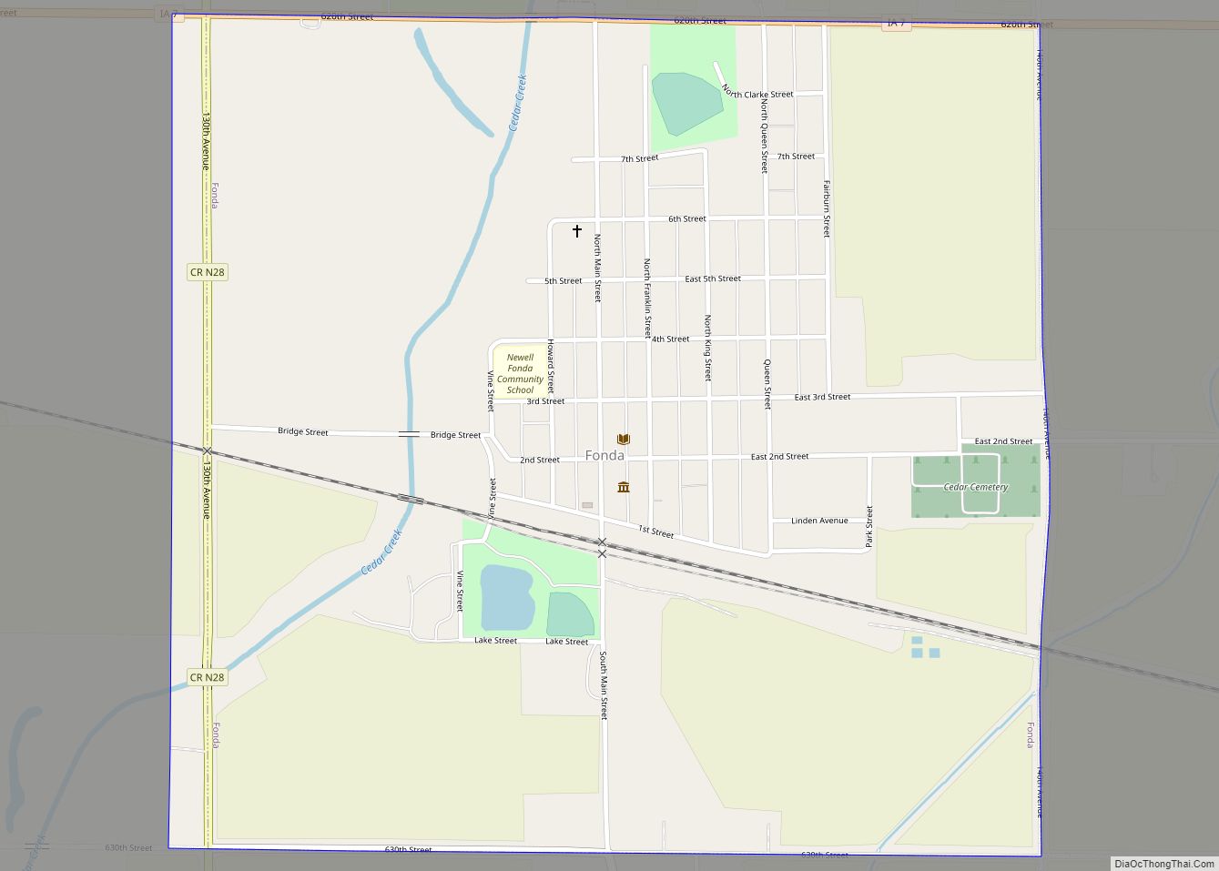
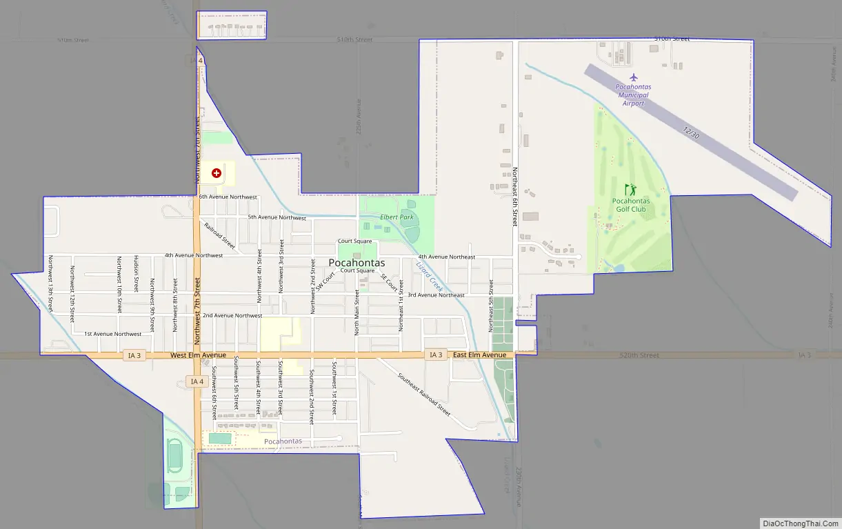
Pocahontas Road Map
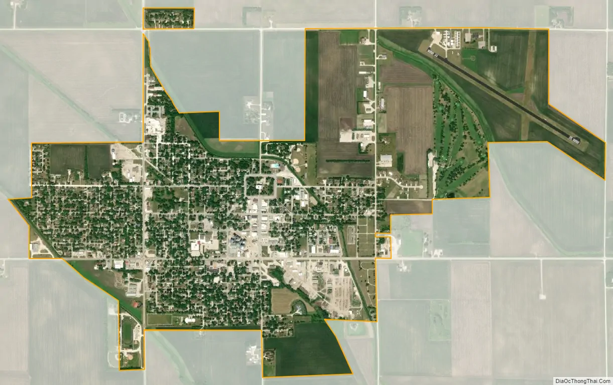
Pocahontas city Satellite Map
Geography
Pocahontas’s longitude and latitude coordinates in decimal form are 42.734476, -94.673017.
According to the United States Census Bureau, the city has a total area of 2.02 square miles (5.23 km), all land.
Pocahontas lies at the northwestern margin (rim) of Manson crater, an impact structure buried by glacial till and outwash.
See also
Map of Iowa State and its subdivision:- Adair
- Adams
- Allamakee
- Appanoose
- Audubon
- Benton
- Black Hawk
- Boone
- Bremer
- Buchanan
- Buena Vista
- Butler
- Calhoun
- Carroll
- Cass
- Cedar
- Cerro Gordo
- Cherokee
- Chickasaw
- Clarke
- Clay
- Clayton
- Clinton
- Crawford
- Dallas
- Davis
- Decatur
- Delaware
- Des Moines
- Dickinson
- Dubuque
- Emmet
- Fayette
- Floyd
- Franklin
- Fremont
- Greene
- Grundy
- Guthrie
- Hamilton
- Hancock
- Hardin
- Harrison
- Henry
- Howard
- Humboldt
- Ida
- Iowa
- Jackson
- Jasper
- Jefferson
- Johnson
- Jones
- Keokuk
- Kossuth
- Lee
- Linn
- Louisa
- Lucas
- Lyon
- Madison
- Mahaska
- Marion
- Marshall
- Mills
- Mitchell
- Monona
- Monroe
- Montgomery
- Muscatine
- O'Brien
- Osceola
- Page
- Palo Alto
- Plymouth
- Pocahontas
- Polk
- Pottawattamie
- Poweshiek
- Ringgold
- Sac
- Scott
- Shelby
- Sioux
- Story
- Tama
- Taylor
- Union
- Van Buren
- Wapello
- Warren
- Washington
- Wayne
- Webster
- Winnebago
- Winneshiek
- Woodbury
- Worth
- Wright
- Alabama
- Alaska
- Arizona
- Arkansas
- California
- Colorado
- Connecticut
- Delaware
- District of Columbia
- Florida
- Georgia
- Hawaii
- Idaho
- Illinois
- Indiana
- Iowa
- Kansas
- Kentucky
- Louisiana
- Maine
- Maryland
- Massachusetts
- Michigan
- Minnesota
- Mississippi
- Missouri
- Montana
- Nebraska
- Nevada
- New Hampshire
- New Jersey
- New Mexico
- New York
- North Carolina
- North Dakota
- Ohio
- Oklahoma
- Oregon
- Pennsylvania
- Rhode Island
- South Carolina
- South Dakota
- Tennessee
- Texas
- Utah
- Vermont
- Virginia
- Washington
- West Virginia
- Wisconsin
- Wyoming