Pope County is the southeasternmost county in the U.S. state of Illinois. According to the 2020 census, it had a population of 3,763, making it the second-least populous county in Illinois. Its county seat is Golconda. The county was organized in 1816 from portions of Gallatin and Johnson counties and named after Nathaniel Pope, a politician and jurist from the Illinois Territory and State of Illinois.
| Name: | Pope County |
|---|---|
| FIPS code: | 17-151 |
| State: | Illinois |
| Founded: | 1816 |
| Named for: | Nathaniel Pope |
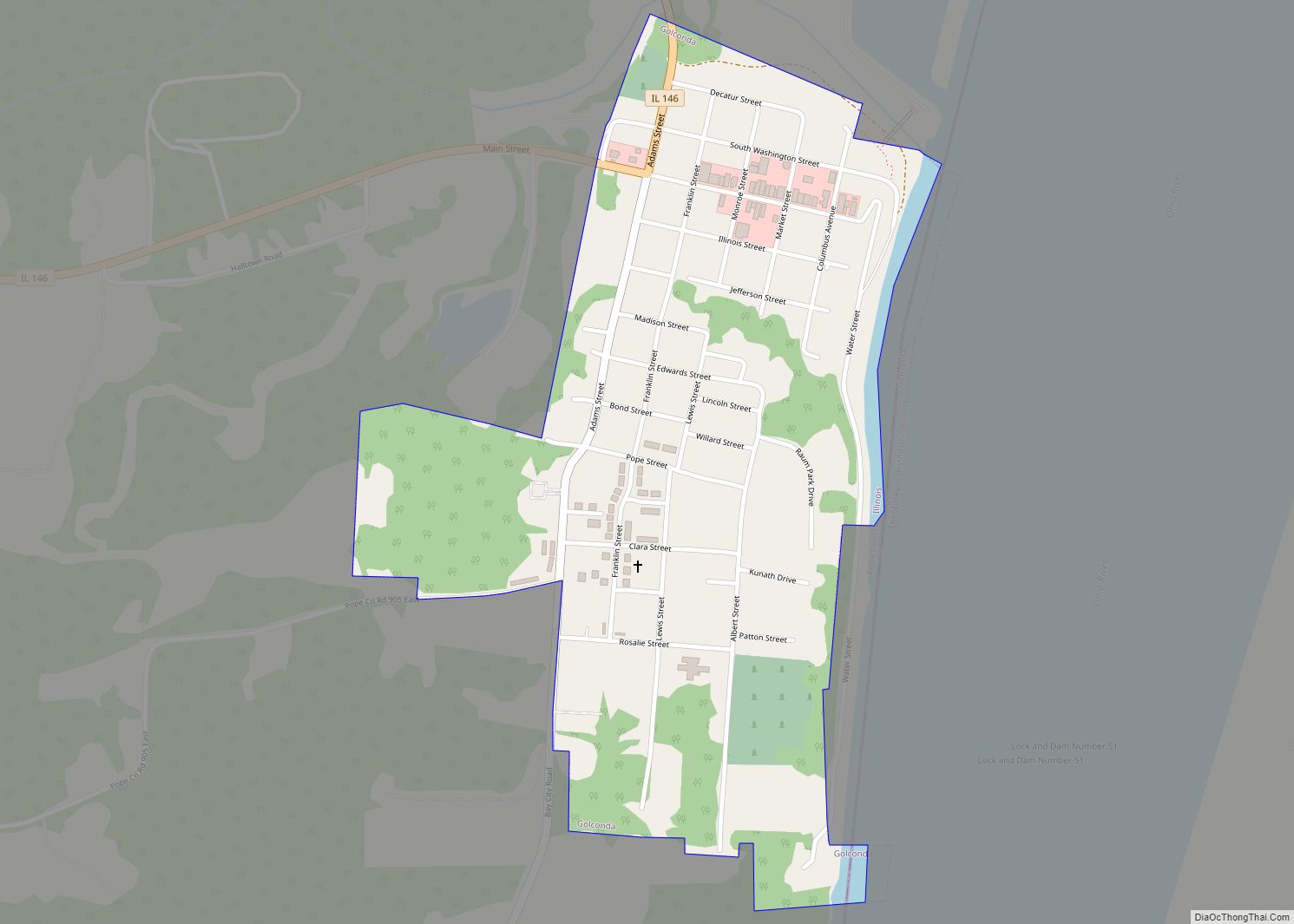
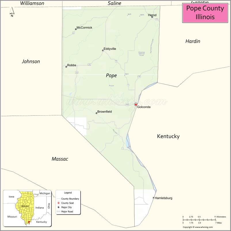
| Seat: | Golconda |
| Largest city: | Golconda |
| Total Area: | 374 sq mi (970 km²) |
| Land Area: | 369 sq mi (960 km²) |
| Total Population: | 3,763 |
| Population Density: | 10/sq mi (4/km²) |
| Time zone: | UTC−6 (Central) |
| Summer Time Zone (DST): | UTC−5 (CDT) |
| Website: | www.popeco.net |
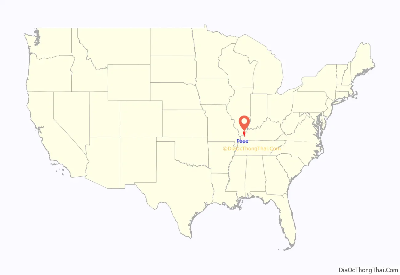
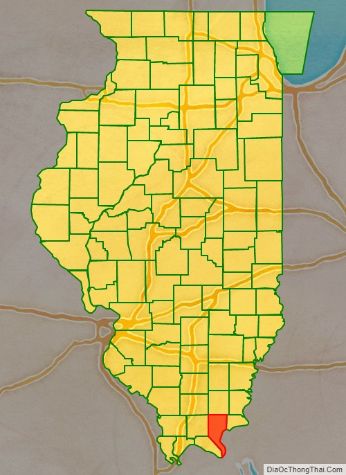
Pope County location map. Where is Pope County?
History
The first permanent settlement in future Pope County was established in 1798 at the modern-day site of Golconda, then a part of the Northwest Territory which operated as a ferry point across the Ohio River. The county was formed in 1816 from portions of Gallatin and Johnson Counties.
Pope County from the time of its creation in 1816 to 1839
Pope County between 1839 and 1843
Pope County between 1843 and 1847
In 1847, Pope’s border with Hardin County was adjusted, bringing both to their present borders
Pope County Road Map
Geography
According to the U.S. Census Bureau, the county has a total area of 374 square miles (970 km), of which 369 square miles (960 km) is land and 5.5 square miles (14 km) (1.5%) is water.
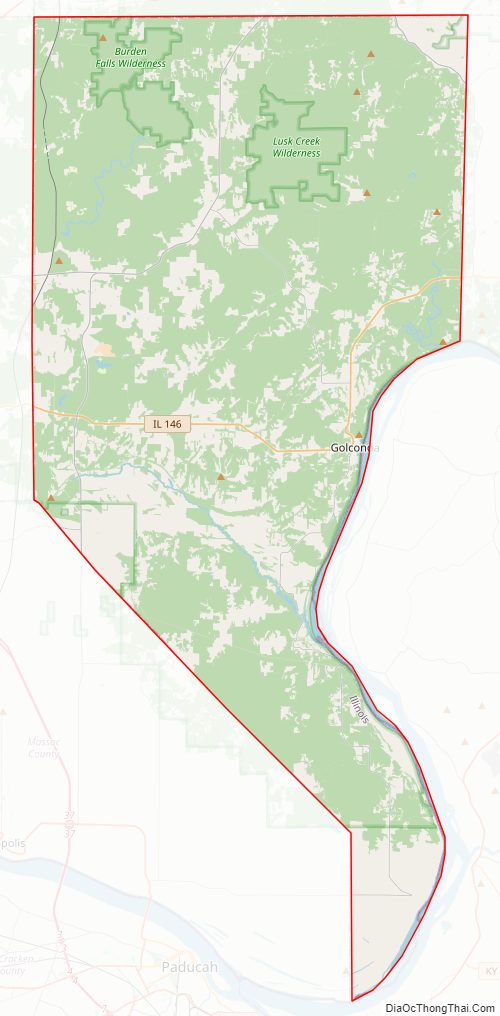
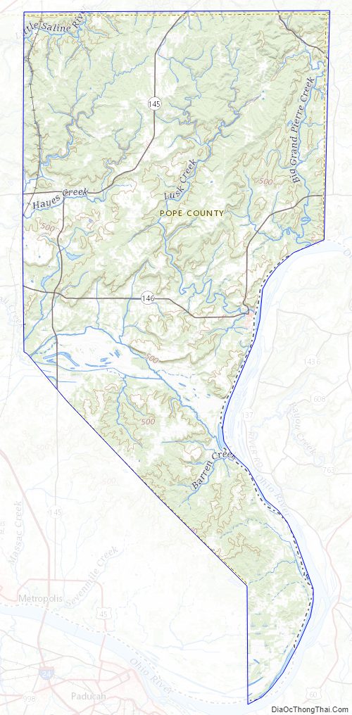
The entire county is hilly and during rainy weather rivulets cascade down the hills in the park forming waterfalls of varying sizes and heights. The county contains Dixon Springs State Park, one of many state parks in the Illinois Shawnee Hills, and is part of the Shawnee National Forest. It is bordered to the south and east by the Ohio River, which marks the state’s border with Kentucky.
Climate and weather
In recent years, average temperatures in the county seat of Golconda have ranged from a low of 21 °F (−6 °C) in January to a high of 87 °F (31 °C) in July, although a record low of −22 °F (−30 °C) was recorded in January 1994 and a record high of 104 °F (40 °C) was recorded in August 2007. Average monthly precipitation ranged from 3.22 inches (82 mm) in October to 5.02 inches (128 mm) in May.
Major highways
- Illinois Route 34
- Illinois Route 145
- Illinois Route 146
- Illinois Route 147
Adjacent counties
- Saline County – north
- Hardin County – east
- Livingston County, Kentucky – southeast
- Massac County – southwest
- Johnson County – west
- Williamson County – northwest
National protected area
- Shawnee National Forest (part)
Pope County Topographic Map
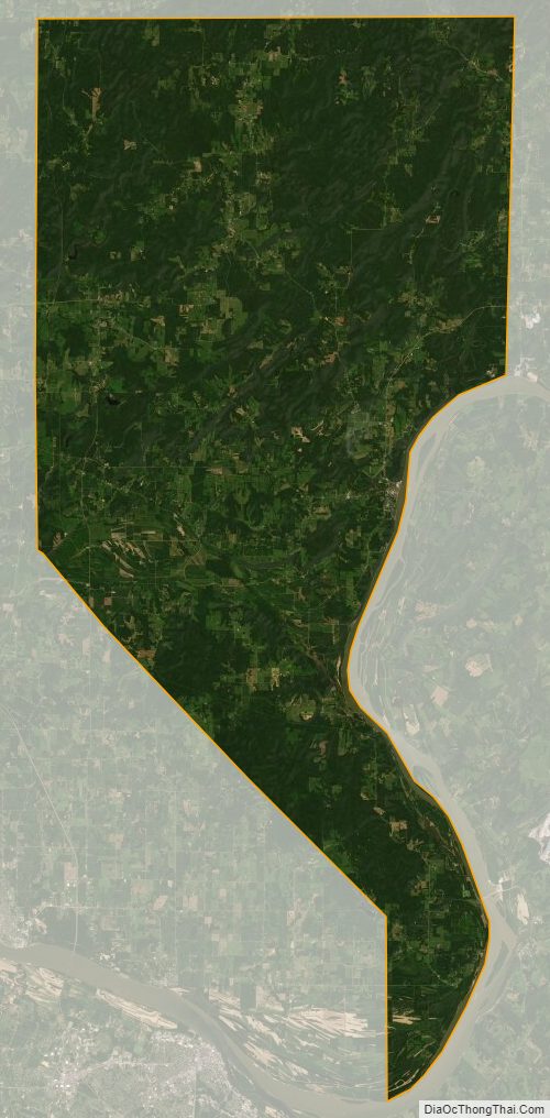
Pope County Satellite Map
Pope County Outline Map