Rabun County (/ˈreɪbən/) is the north-easternmost county in the U.S. state of Georgia. As of the 2020 census, the population was 16,883, up from 16,276 in 2010. The county seat is Clayton. With an average annual rainfall of over 70 inches (1,800 mm), Rabun County has the title of the rainiest county in Georgia and is one of the rainiest counties east of the Cascades. The year 2018 was the wettest on record in the county’s history. The National Weather Service cooperative observation station in northwest Rabun’s Germany Valley measured 116.48 inches of rain during the year. During 2020, the Germany Valley NWS station reported a yearly precipitation total of 100.19 inches.
| Name: | Rabun County |
|---|---|
| FIPS code: | 13-241 |
| State: | Georgia |
| Founded: | 1819 |
| Named for: | William Rabun |
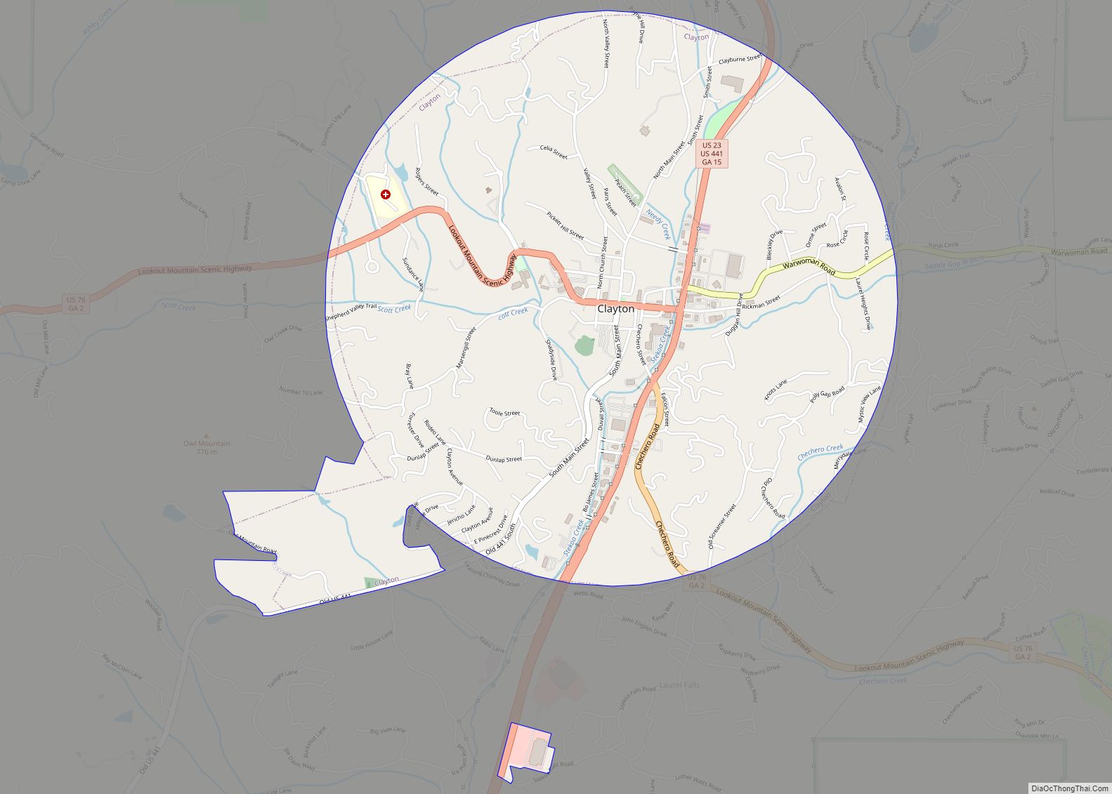
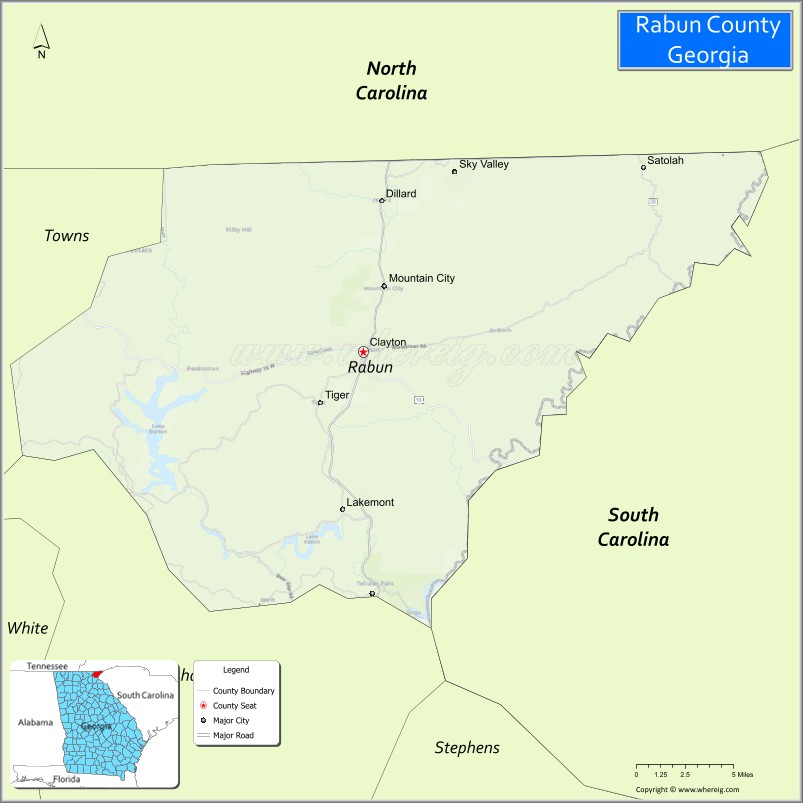
| Seat: | Clayton |
| Largest city: | Clayton |
| Total Area: | 377 sq mi (980 km²) |
| Land Area: | 370 sq mi (1,000 km²) |
| Total Population: | 16,883 |
| Population Density: | 44/sq mi (17/km²) |
| Time zone: | UTC−5 (Eastern) |
| Summer Time Zone (DST): | UTC−4 (EDT) |
| Website: | www.rabuncounty.ga.gov |
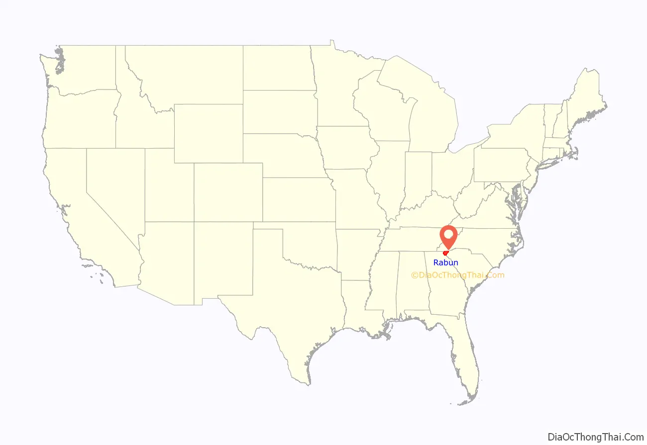
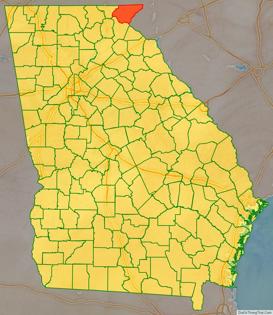
Rabun County location map. Where is Rabun County?
History
As early as 1760, explorers came to the area now known as Rabun County. In the 18th century, the population of Cherokee in the area was so heavy that this portion of the Appalachian Mountains was sometimes called the “Cherokee Mountains.” The early explorers and settlers divided the Cherokee people into three divisions depending on location and dialect, the Lower, Middle, and Over-the-Hill. There were at least four Cherokee settlements in what would later become Rabun County. A Middle settlement called Stikayi (Stiyaki, Sticoa, Stekoa) was located on Stekoa Creek, probably southeast of the present-day Clayton. An Over-the-Hill settlement called Tallulah was located on the upper portion of the Tallulah River. There were also two Cherokee settlements of unknown division, Chicherohe (Chechero), which was destroyed during the American Revolutionary War, located along Warwoman Creek, east of Clayton, and Eastertoy (Eastatowth, Estatowee) which was located near the present-day Dillard.
Despite the prominence of the Cherokee, there is evidence that other Native Americans were in the region before them. A mound similar to others across North Georgia (including the famous Etowah Indian Mounds) is located about one mile (1.6 km) east of Dillard, Georgia and is likely a remnant of an earlier mound-building Native American culture known as the Mississippian culture. The mound location is listed on the National Register of Historic Places as the Hoojah Branch Site.
Explorer and naturalist William Bartram was one of the early visitors to Rabun County. According to his journal entries for May, 1775, Bartram crossed the Chattooga River into Georgia near its confluence with Warwoman Creek. He later went through a junction of Cherokee trails called Dividings (which would later become Clayton), and then traveled north to an area called Passover (which would later become Mountain City). During his visit to the area, he also climbed Rabun Bald. His travels in Rabun County are memorialized today by the Georgia portion of the hiking trail known as the Bartram Trail.
John Dillard and his family were among the first documented settlers in the area in 1794 as a result of a land grant for his service in the American Revolution. The settlers were initially tolerated, but tensions increased as displaced Cherokees moved in from other areas. Eventually, the white settlers were viewed as invaders who did not respect nature and killed the game and, as a result, raids between the clashing cultures became commonplace. For the most part, the hostilities ended a few years before the Cherokee ceded the land to Georgia in 1817.
The Georgia General Assembly passed an act to create the county on December 21, 1819, becoming Georgia’s forty-seventh county. The northern border of the county was established as latitude 35°N, which is the boundary between Georgia and North Carolina. Due to irregularities in an early survey mission, the Georgia-North Carolina border at Rabun County’s northeast corner was erroneously set several hundred yards north of the 35th parallel, giving this location at Ellicott’s Rock the distinction of being the State of Georgia’s northernmost point. The county is named for William Rabun, who served as the 11th Governor of Georgia from his election in 1817 until his death in 1819. In 1828, the Georgia General Assembly transferred a portion of Habersham County to Rabun County. In 1838, the legislature redefined the Rabun-Habersham county line. In 1856, the legislature used portions of Rabun and Union Counties to create Towns County.
During the U.S. Civil War, Rabun County was one of only five Georgia counties that did not declare secession from the Union. Although the county was largely untouched by the Civil War, the area did border on anarchy during that time. The county was described by some as being “almost a unit against secession.” One of the county’s residents recalled in 1865 that “You cannot find a people who were more averse to secession than were the people of our county.” He stated that “I canvassed the county in 1860–61 myself and I know that there were not exceeding twenty men in this county who were in favor of secession.” Despite its overall loyalty to the Union, Rabun County did field two regiments for the Confederate cause: Rabun 24th Regiment, Georgia Infantry, Company E, Rabun Gap Riflemen; and Rabun 52nd Regiment, Georgia Infantry, Company F, Beauregard Braves.
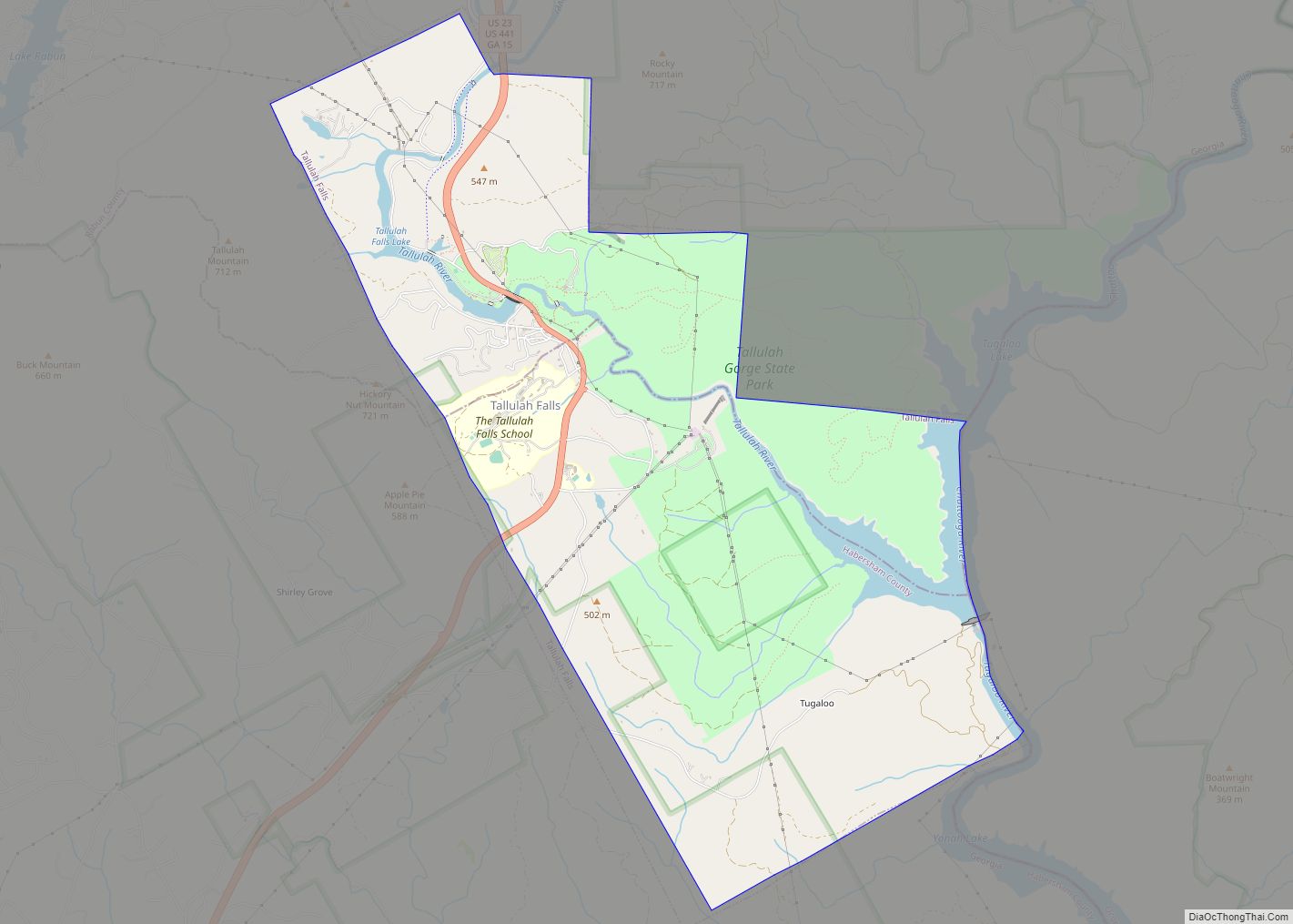
In 1898, the Tallulah Falls Railway was constructed on a north–south track through the county. One of the most popular stops along the railway was Tallulah Gorge. The Railway was in operation for more than 60 years and was featured in the Disney movie, The Great Locomotive Chase.
Starting in the 1920s, many of the improvements in the county can be attributed to the establishment, growth and expansion of the Chattahoochee National Forest in the county. One of the key figures in the establishment and growth of the Chattahoochee National Forest was “Ranger Nick” Nicholson, Georgia’s first forest ranger. Among other things, Ranger Nick was responsible for arranging for telephone lines to be run from Clayton, Georgia to the Pine Mountain community in the eastern part of the county.
Deliverance (1972), a highly popular film about a group of city men taking a canoe trip in north Georgia, was filmed largely in Rabun County. After the film’s release, Rabun County experienced an increase in tourism, with the number of visitors going from hundred to tens of thousands. By 2012, 40 years later, tourism was the largest source of revenue in the county. According to the US Census, the population has doubled since 1970.
Claude Terry, Jon Voight’s stunt double for this film, later purchased river equipment used in the movie from Warner Brothers. He founded Southeastern Expeditions, what is now the oldest whitewater rafting adventure company on the Chattooga River. By 2012 rafting had developed as a $20 million industry in the region.
Because of the scenery, people with money have built vacation and second homes around the area’s lakes. In June 2012, Rabun County held a Chattooga River Festival to encourage preservation of the river and its environment. It also noted the 40th anniversary of the filming of Deliverance in the area, an aspect which aroused controversy in planning for the festival.
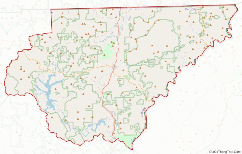
Rabun County Road Map
Geography
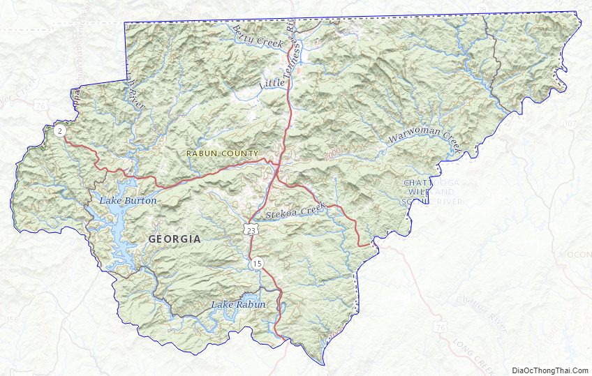
According to the U.S. Census Bureau, the county has a total area of 377 square miles (980 km), of which 370 square miles (960 km) is land and 6.9 square miles (18 km) (1.8%) is water. Approximately, 60% of the land is in National Forest and State Parks, approximately 20% is held by Georgia Power and the rest is in private hands. With 148,684 acres (601.70 km) of the Chattahoochee National Forest, a national protected area, located within its boundaries, Rabun County hosts the largest portion of the Chattahoochee National Forest of any of the 18 counties with land included in the Forest. Most of Rabun County is located in the Tugaloo River sub-basin in the larger Savannah River basin, with a northern portion of the county located in the Upper Little Tennessee sub-basin in the Upper Tennessee River basin.
Features
The county’s three major lakes were created in the early 20th century by Georgia Power for hydroelectric power generation. The three lakes today provide recreation as well as power generation: Lake Burton covers 11.23 square kilometres (2,770 acres) or 4.33 sq mi and has 100 kilometres (62 mi) of shoreline, Lake Rabun covers 3.38 square kilometres (840 acres) and has 40 kilometres (25 mi) of shoreline, and Lake Seed covers 0.97 square kilometres (240 acres) and has 21 kilometres (13 mi) of shoreline. The county also boasts a large number of trout streams, including the Tallulah River and its tributaries, Coleman River and Charlies Creek.
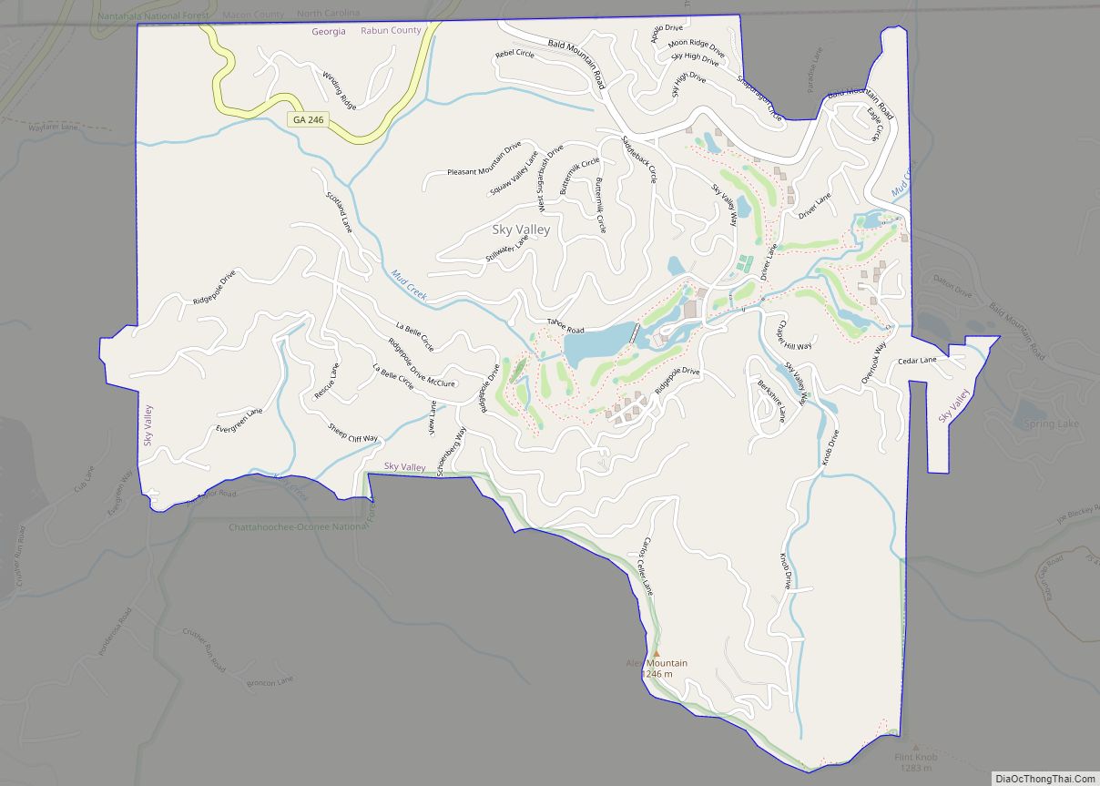
The Eastern Continental Divide runs through the county, roughly from southwest to northeast, also representing a portion of the Tennessee Valley Divide. The county’s eastern border with South Carolina is formed by the Chattooga River, the largest tributary of the Tugaloo River and then Savannah River (which forms the rest of the border of the two states). The north-central portion of Rabun County is in the watershed of the Little Tennessee River, which flows northward from Mountain City. The high elevation along the divide gives Rabun County the most snow of any in county in Georgia. This also gives it mild weather throughout the warmer months of the year, leading to the county’s slogan, Where Spring Spends the Summer. Rabun County is the only county in Georgia with three state parks: Black Rock Mountain, Moccasin Creek, and Tallulah Gorge.
Mountains dominate the topography of Rabun County. The Eastern Continental Divide provides Rabun County with the second and third highest peaks in Georgia: Rabun Bald at 4,696 feet (1,431 m) and Dick’s Knob at 4,620 feet (1,410 m). The county has eight peaks that are higher than 4,000 feet (1,200 m) and over 60 peaks that are between 3,000 and 4,000 feet (1,200 m).
Rabun County has a number of picturesque waterfalls, many of which are easily reached by relatively short trails. Among the favorites of visitors to the county are Dick’s Creek Falls, Holcomb Creek Falls and Minnehaha Falls.
The county has numerous hiking trails. Most notably, a portion of the Appalachian Trail winds through the county and the county is home to a 37-mile (60 km) portion of the Bartram Trail.
Major highways
- U.S. Route 23
- U.S. Route 76
- U.S. Route 441
- State Route 2
- State Route 15
- State Route 28
- State Route 197
- State Route 246
US 23 and US 441 run concurrent, following a south–north route through the county, and US 76 runs west–east. SR 246 begins at Dillard and connects to Sky Valley. SR 28 runs for an extremely short distance in the northeastern tip, between the Carolinas.
Adjacent counties
- Macon County, North Carolina – north
- Oconee County, South Carolina – east
- Habersham County – south
- Towns County – west
- Clay County, North Carolina – northwest
Rabun County Topographic Map
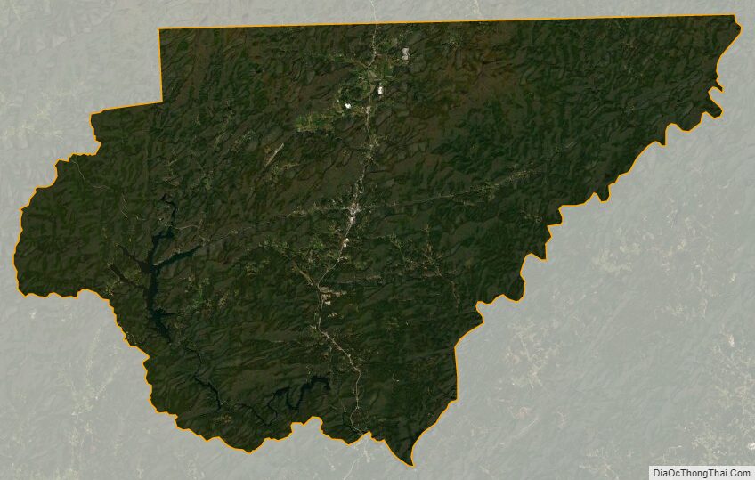
Rabun County Satellite Map
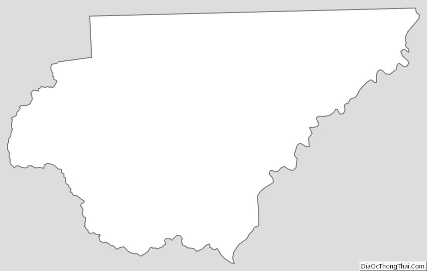
Rabun County Outline Map