St. Clair County is a county located in the western portion of the U.S. state of Missouri. As of the 2020 census, the population was 9,284. Its county seat is Osceola. The largest city is Appleton City. The county was organized in 1841 and named after General Arthur St. Clair, Governor of the Northwest Territory. St. Clair was also the 9th president of the United States in Congress Assembled. Under his presidency, the Northwest Ordinance and United States Constitution were passed.
According to the April 1907 issue of The Century Magazine, for well over 30 years (dating from 1870) St. Clair County was in open rebellion against the U.S. Government, refusing to pay interest on bonds which it had issued to assist in the building of a railroad, which was never built.
| Name: | St. Clair County |
|---|---|
| FIPS code: | 29-185 |
| State: | Missouri |
| Founded: | January 29, 1841 |
| Named for: | Arthur St. Clair |
| Seat: | Osceola |
| Largest city: | Appleton City |
| Total Area: | 702 sq mi (1,820 km²) |
| Land Area: | 670 sq mi (1,700 km²) |
| Total Population: | 9,284 |
| Population Density: | 13/sq mi (5.1/km²) |
| Time zone: | UTC−6 (Central) |
| Summer Time Zone (DST): | UTC−5 (CDT) |
| Website: | www.stclaircomo.com |
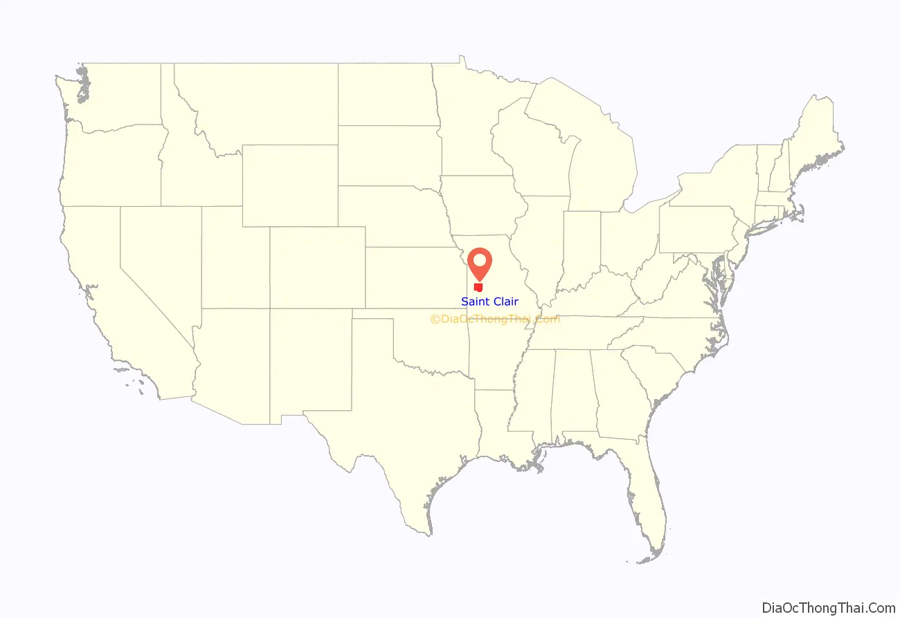
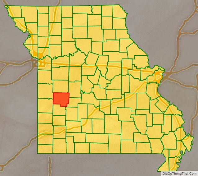
St. Clair County location map. Where is St. Clair County?
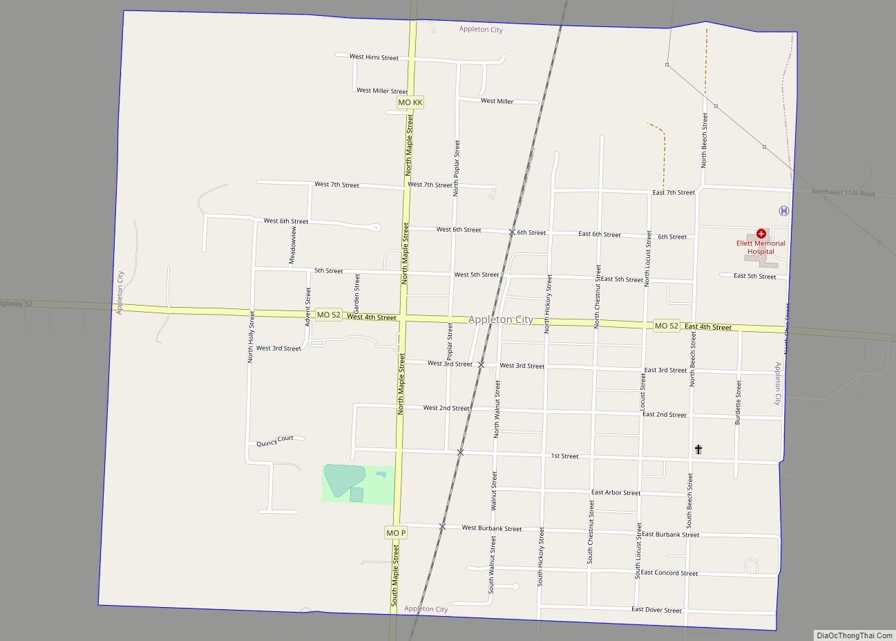
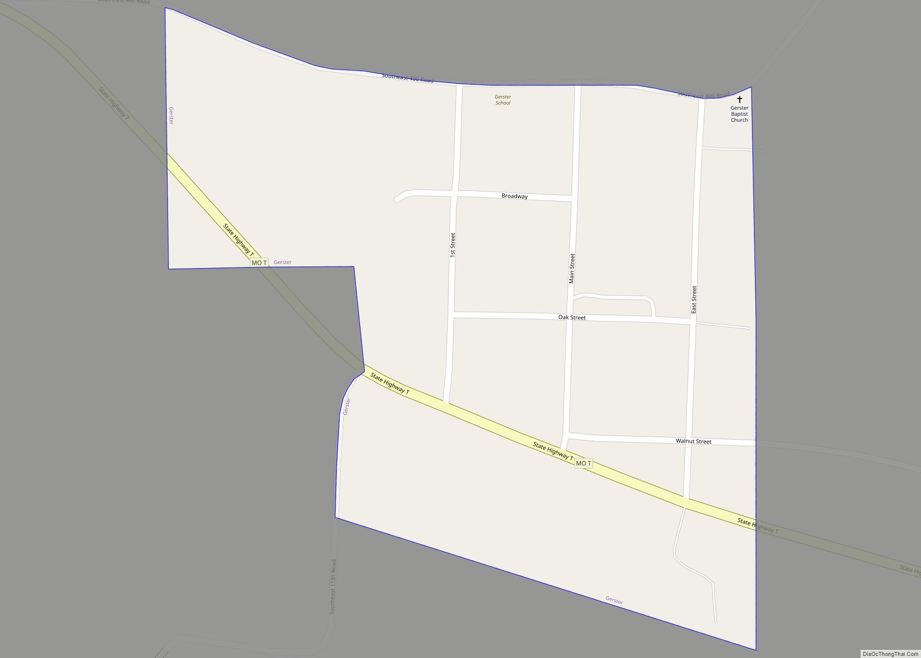
St. Clair County Road Map
Geography
According to the U.S. Census Bureau, the county has a total area of 702 square miles (1,820 km), of which 670 square miles (1,700 km) is land and 32 square miles (83 km) (4.6%) is water.
Adjacent counties
- Henry County (north)
- Benton County (northeast)
- Hickory County (east)
- Polk County (southeast)
- Cedar County (south)
- Vernon County (southwest)
- Bates County (northwest)
Major highways
- U.S. Route 54
- Route 13
- Route 52
- Route 82
