Osceola is a city in St. Clair County, Missouri, United States. The population was 909 at the 2020 census. It is the county seat of St. Clair County. During the American Civil War, Osceola was the site of the Sacking of Osceola.
| Name: | Osceola city |
|---|---|
| LSAD Code: | 25 |
| LSAD Description: | city (suffix) |
| State: | Missouri |
| County: | St. Clair County |
| Elevation: | 748 ft (228 m) |
| Total Area: | 1.04 sq mi (2.70 km²) |
| Land Area: | 1.02 sq mi (2.63 km²) |
| Water Area: | 0.03 sq mi (0.06 km²) |
| Total Population: | 909 |
| Population Density: | 893.81/sq mi (345.00/km²) |
| ZIP code: | 64776 |
| FIPS code: | 2955388 |
| GNISfeature ID: | 2396092 |
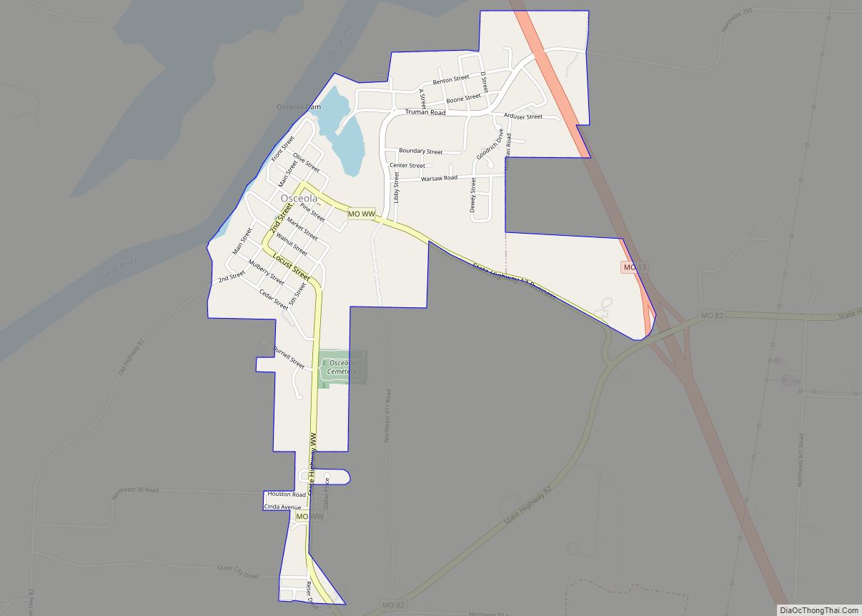
Online Interactive Map
Click on ![]() to view map in "full screen" mode.
to view map in "full screen" mode.
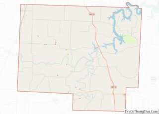
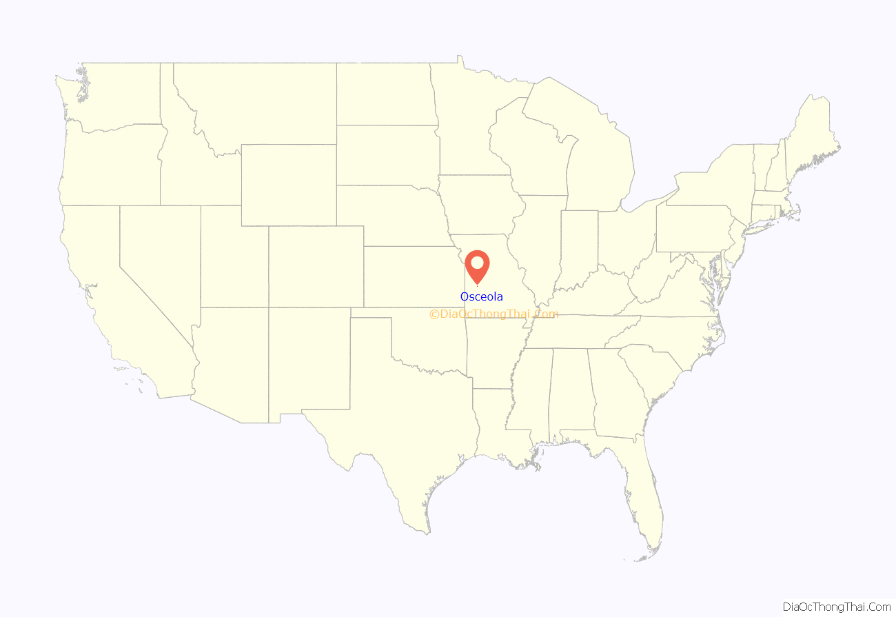
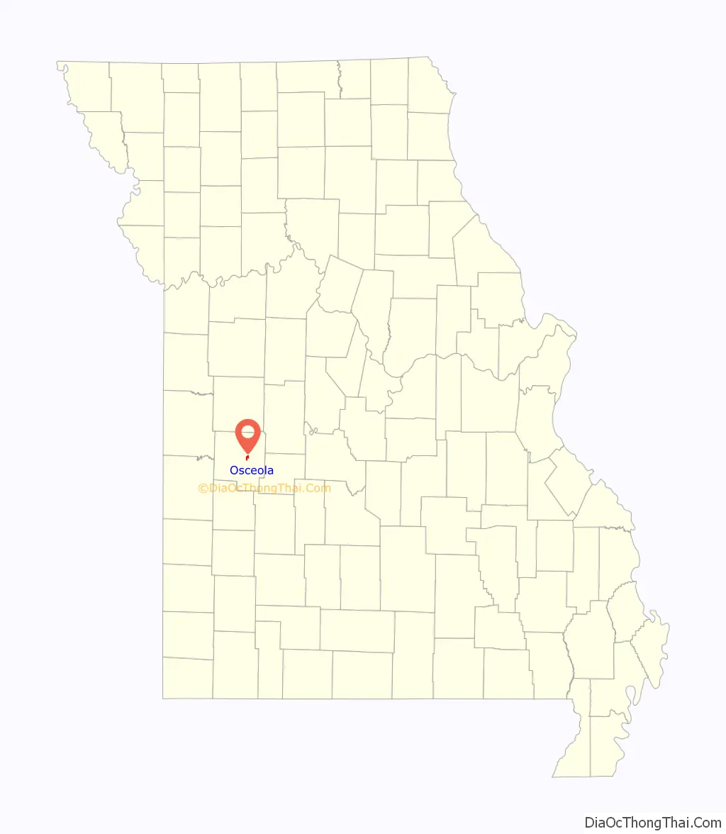
Osceola location map. Where is Osceola city?
History
Located on the Osage River, the land that became the town of Osceola was inhabited by the tribe of Osage Native Americans, also known as NiuKonska, Native Americans who gave the river its name. NiuKonska means “Little Ones of the Middle Waters”. Two treaties, in 1808 and 1825, signed by the Osage and the U.S. government gave up all the tribe’s land in Missouri. With the way cleared for non-native settlers, more people began to arrive in the St. Clair County area in the mid-1830s.
The town was the site of the September 1861 Sacking of Osceola by Jayhawkers (anti-slavery patrols) in which the town was burned and its courthouse looted. The event inspired the 1976 Clint Eastwood film The Outlaw Josey Wales. Prior to the attack the town had a population of around 2,500. However, fewer than 200 residents remained after the event and the population has never again approached those numbers.
In September 2011, on the 150th anniversary of the Sacking of Osceola, the Osceola Board of Aldermen passed a resolution asking the University of Kansas to no longer to use “Jayhawk” as its mascot and nickname. Further, the resolution asks Missouri residents to stop spelling Kansas or “KU” with a capital letter because “neither is a proper name or a proper place”.
The Osceola Public School Building was added to the National Register of Historic Places in 1999.
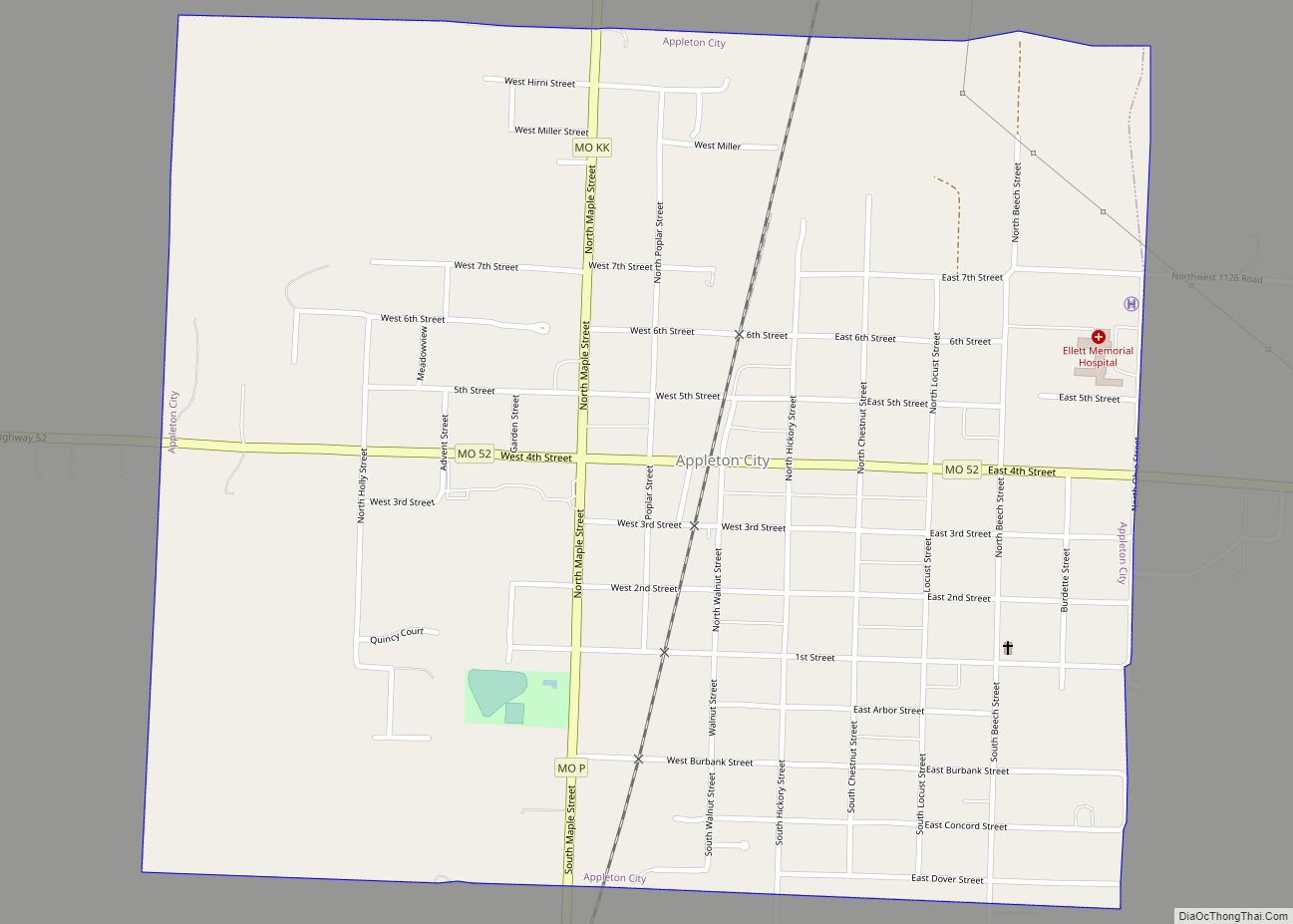
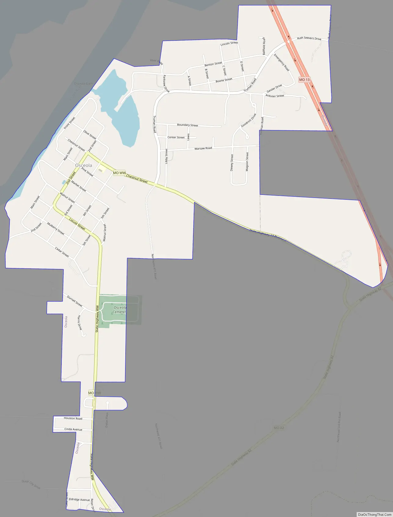
Osceola Road Map
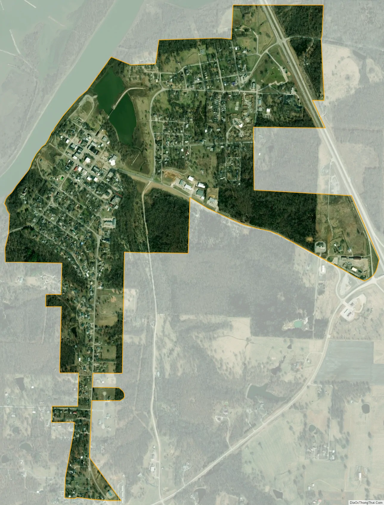
Osceola city Satellite Map
Geography
According to the United States Census Bureau, the city has a total area of 0.94 square miles (2.43 km), of which 0.91 square miles (2.36 km) is land and 0.03 square miles (0.08 km) is water.
Climate
See also
Map of Missouri State and its subdivision:- Adair
- Andrew
- Atchison
- Audrain
- Barry
- Barton
- Bates
- Benton
- Bollinger
- Boone
- Buchanan
- Butler
- Caldwell
- Callaway
- Camden
- Cape Girardeau
- Carroll
- Carter
- Cass
- Cedar
- Chariton
- Christian
- Clark
- Clay
- Clinton
- Cole
- Cooper
- Crawford
- Dade
- Dallas
- Daviess
- De Kalb
- Dent
- Douglas
- Dunklin
- Franklin
- Gasconade
- Gentry
- Greene
- Grundy
- Harrison
- Henry
- Hickory
- Holt
- Howard
- Howell
- Iron
- Jackson
- Jasper
- Jefferson
- Johnson
- Knox
- Laclede
- Lafayette
- Lawrence
- Lewis
- Lincoln
- Linn
- Livingston
- Macon
- Madison
- Maries
- Marion
- McDonald
- Mercer
- Miller
- Mississippi
- Moniteau
- Monroe
- Montgomery
- Morgan
- New Madrid
- Newton
- Nodaway
- Oregon
- Osage
- Ozark
- Pemiscot
- Perry
- Pettis
- Phelps
- Pike
- Platte
- Polk
- Pulaski
- Putnam
- Ralls
- Randolph
- Ray
- Reynolds
- Ripley
- Saint Charles
- Saint Clair
- Saint Francois
- Saint Louis
- Sainte Genevieve
- Saline
- Schuyler
- Scotland
- Scott
- Shannon
- Shelby
- Stoddard
- Stone
- Sullivan
- Taney
- Texas
- Vernon
- Warren
- Washington
- Wayne
- Webster
- Worth
- Wright
- Alabama
- Alaska
- Arizona
- Arkansas
- California
- Colorado
- Connecticut
- Delaware
- District of Columbia
- Florida
- Georgia
- Hawaii
- Idaho
- Illinois
- Indiana
- Iowa
- Kansas
- Kentucky
- Louisiana
- Maine
- Maryland
- Massachusetts
- Michigan
- Minnesota
- Mississippi
- Missouri
- Montana
- Nebraska
- Nevada
- New Hampshire
- New Jersey
- New Mexico
- New York
- North Carolina
- North Dakota
- Ohio
- Oklahoma
- Oregon
- Pennsylvania
- Rhode Island
- South Carolina
- South Dakota
- Tennessee
- Texas
- Utah
- Vermont
- Virginia
- Washington
- West Virginia
- Wisconsin
- Wyoming