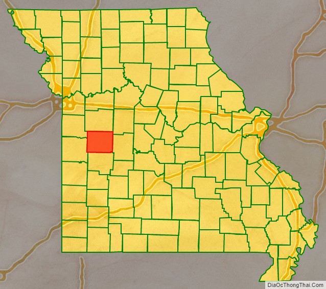
Henry County is a county located in the western portion of the U.S. state of Missouri. As of the 2010 census, the population was 22,272. Its county seat is Clinton. The county was organized December 13, 1834 as Rives County but was renamed in 1841 for Revolutionary War patriot Patrick Henry. The county originally had been named after William Cabell Rives, who was then serving as a U.S. Senator from Virginia. However, Rives lost popularity in Missouri after he joined the Whig Party.
| Name: | Henry County |
|---|---|
| FIPS code: | 29-083 |
| State: | Missouri |
| Founded: | December 13, 1834 |
| Named for: | Patrick Henry |
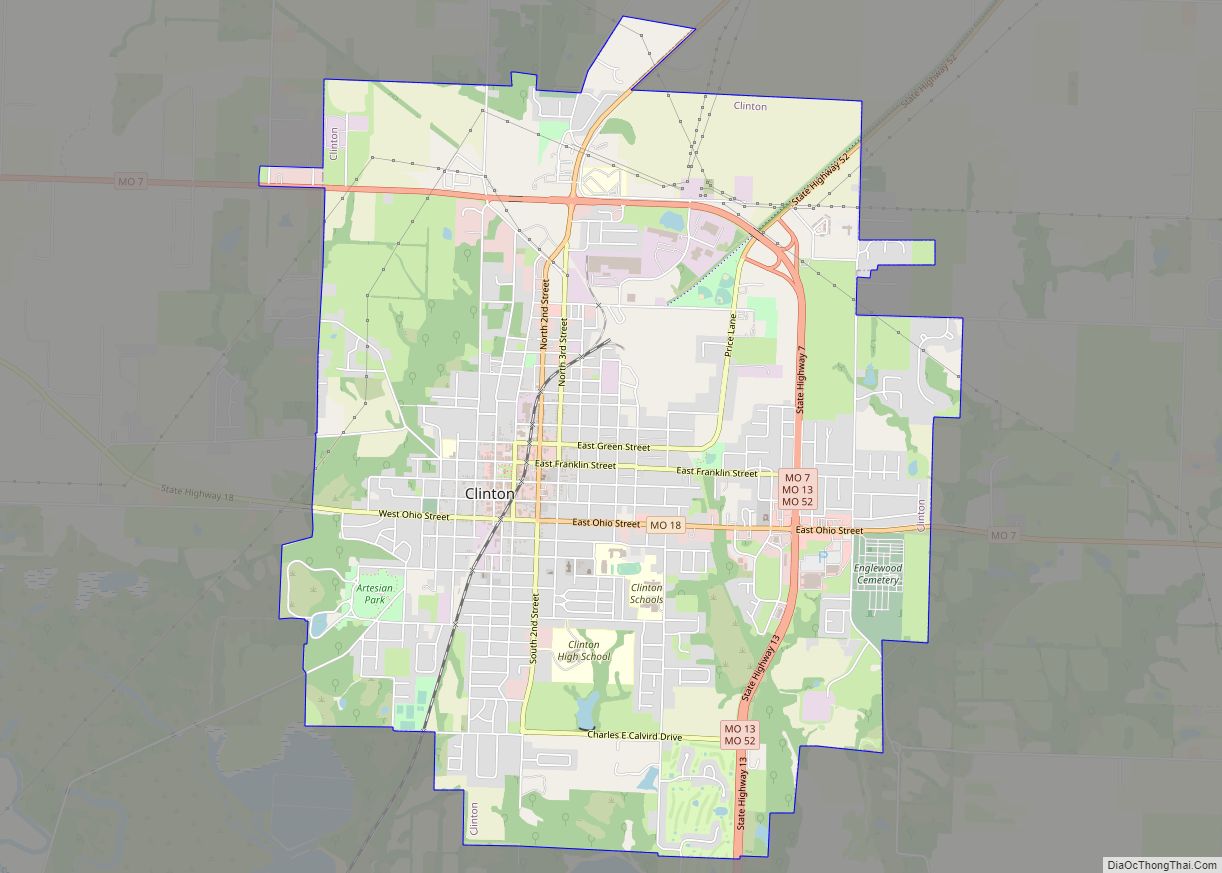
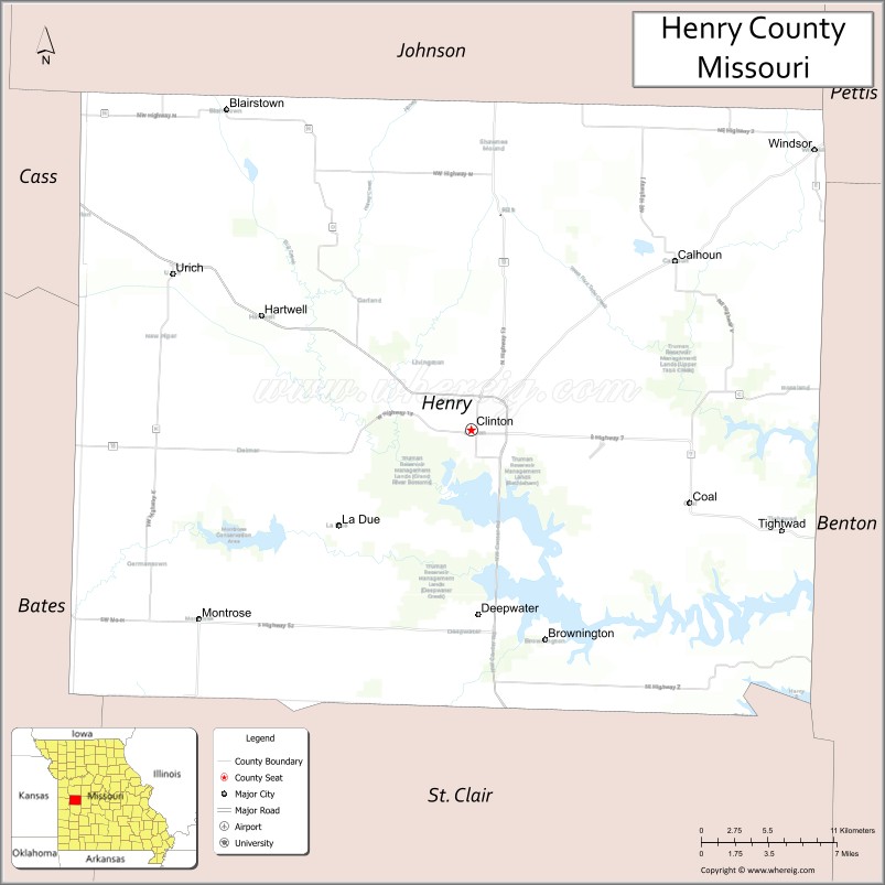
| Seat: | Clinton |
| Largest city: | Clinton |
| Total Area: | 732 sq mi (1,900 km²) |
| Land Area: | 697 sq mi (1,810 km²) |
| Total Population: | 22,272 |
| Population Density: | 30/sq mi (12/km²) |
| Time zone: | UTC−6 (Central) |
| Summer Time Zone (DST): | UTC−5 (CDT) |
| Website: | www.henrycomo.com |
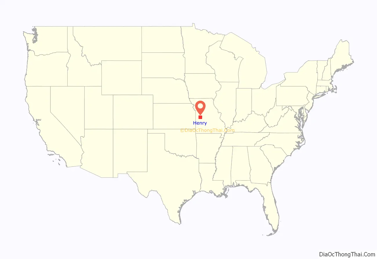
Henry County location map. Where is Henry County?
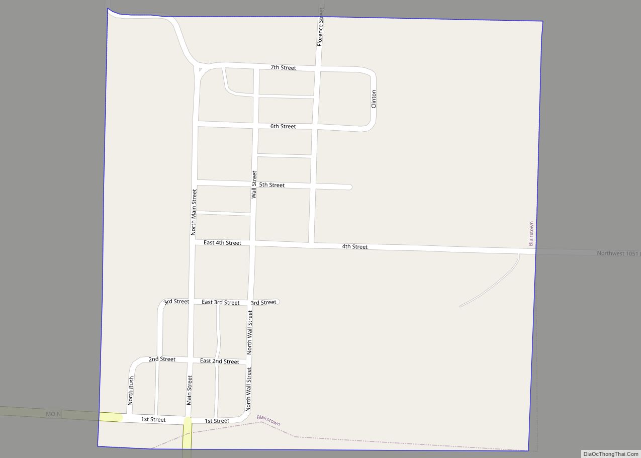
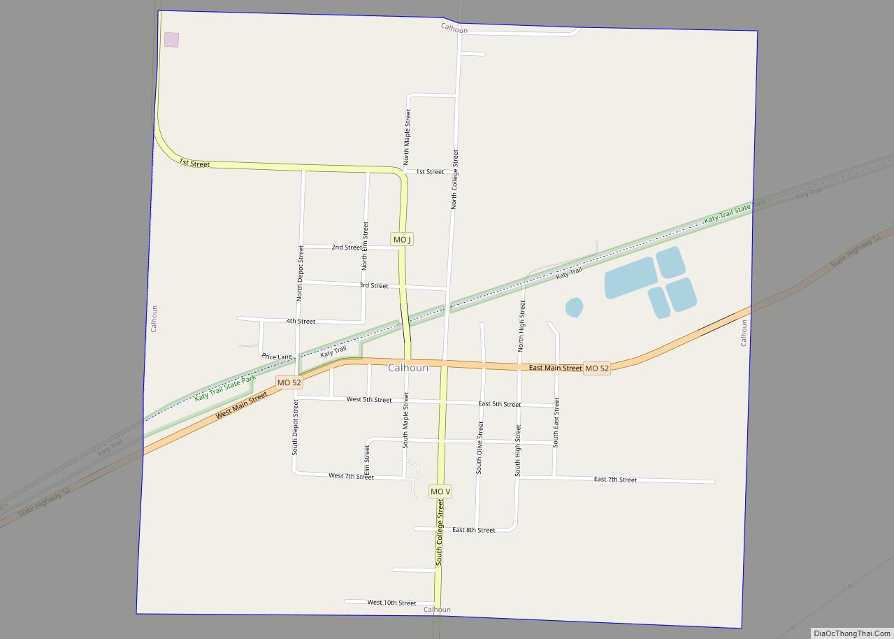
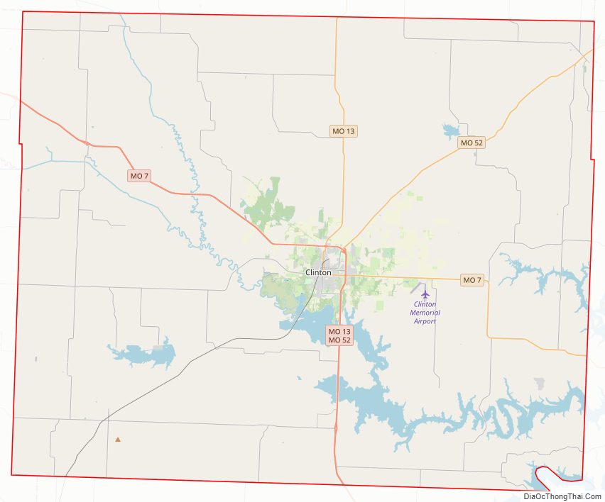
Henry County Road Map
Geography
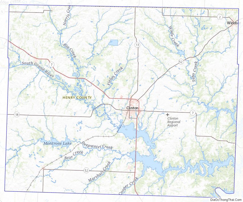
According to the U.S. Census Bureau, the county has a total area of 732 square miles (1,900 km), of which 697 square miles (1,810 km) is land and 35 square miles (91 km) (4.8%) is water.
Adjacent counties
- Johnson County (north)
- Pettis County (northeast)
- Benton County (east)
- St. Clair County (south)
- Bates County (west)
- Cass County (northwest)
Major highways
- Route 7
- Route 13
- Route 18
- Route 52
Henry County Topographic Map
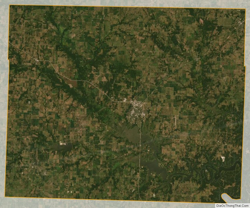
Henry County Satellite Map
Henry County Outline Map