Sarasota County is a county located in southwestern Florida. At the 2020 US census, the population was 434,006. Its county seat is Sarasota and its largest city is North Port. Sarasota County is part of the North Port–Sarasota–Bradenton, FL metropolitan statistical area.
| Name: | Sarasota County |
|---|---|
| FIPS code: | 12-115 |
| State: | Florida |
| Founded: | May 14, 1921 |
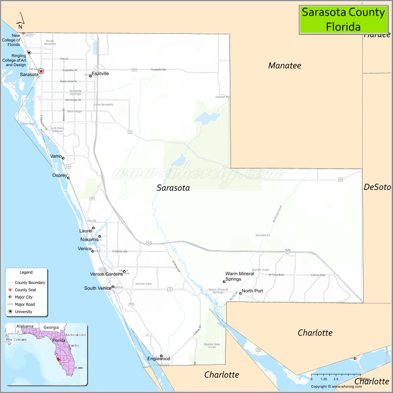
| Seat: | Sarasota |
| Largest city: | North Port |
| Total Area: | 725 sq mi (1,880 km²) |
| Land Area: | 556 sq mi (1,440 km²) |
| Total Population: | 434,006 |
| Population Density: | 781/sq mi (302/km²) |
| Time zone: | UTC−5 (Eastern) |
| Summer Time Zone (DST): | UTC−4 (EDT) |
| Website: | www.scgov.net |
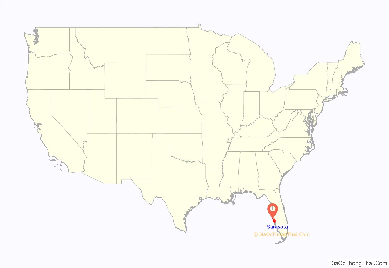
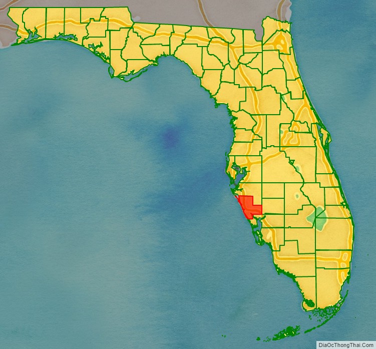
Sarasota County location map. Where is Sarasota County?
History
The area that is now known as Sarasota County has been inhabited by humans for some 10,000 years. Evidence of human remains as well as a burned out log at the Warm Mineral Springs, in North Port, were discovered that date to the early Archaic period.
Although the name was associated with the area from the beginning of European contacts, the origin of the name “Sarasota” is unknown. In the early twentieth-century, a fanciful story was created to go hand-in-hand with a pageant held in Sarasota. The story held that the town was named after the daughter of famous explorer Hernando de Soto’s daughter Sara.
An early map of the area from 1763 shows the word “Zarazote” across present day Sarasota.
Following exploration, the area was occupied by fishing camps, called ranchos. In 1842, the Armed Occupation Act was passed, which deeded land to settlers who were willing to cultivate land in Florida. The act brought settlers to Sarasota but also led to the Second Seminole War. During the war, the area was occupied by the U.S. army and Fort Armistead was built.
Sarasota County was created in 1921 from the southern part of Manatee County. After acquisition by the United States as a territory, the area now included in Sarasota county had been part of St. Johns County (1821), Alachua County (1824), Hillsborough County (1834), and Manatee County (1855) as new counties were created from older counties to accommodate population growth and settlement in new areas.
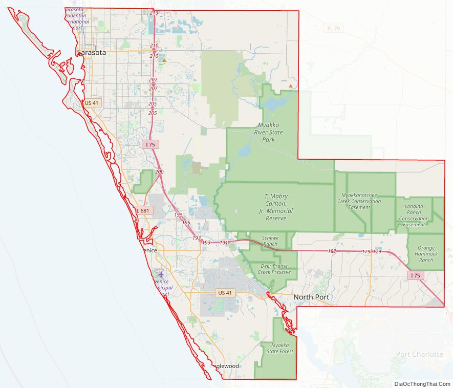
Sarasota County Road Map
Geography
According to the U.S. Census Bureau, the county has a total area of 725 square miles (1,880 km), of which 556 square miles (1,440 km) is land and 169 square miles (440 km) (23.4%) is water.
Adjacent counties
- Manatee County – north
- DeSoto County – east
- Charlotte County – south
Parks and preserves
In addition to local parks there are several preserve areas including:
- Bayonne Parcel
- Circus Hammock
- Curry Creek Preserve
- Deer Prairie Creek
- Jelks Preserve
- Lemon Bay Preserve
- Legacy Trail
- Manasota Scrub Preserve
- Myakkahatchee Creek Environmental Park
- Myakka Islands Point
- Old Miakka Preserve
- Pinelands Reserve
- Pocono Trail Preserve
- Red Bug Slough
- Sleeping Turtles South
- Sleeping Turtles North
- South Lemon Bay Preserve
- T. Mabry Carlton Reserve
Sarasota County Topographic Map
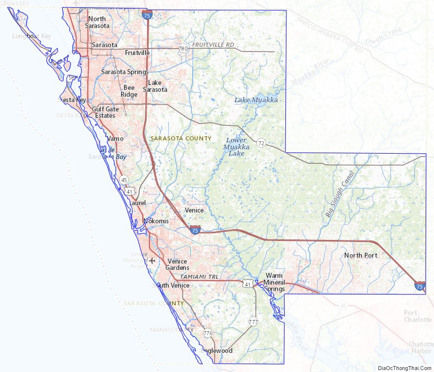
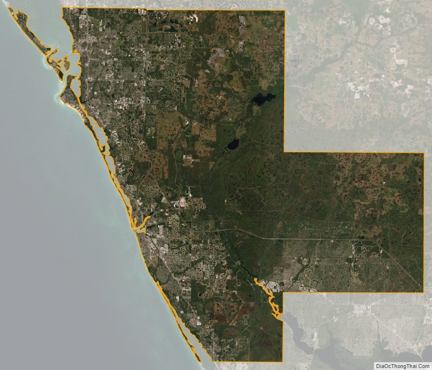
Sarasota County Satellite Map
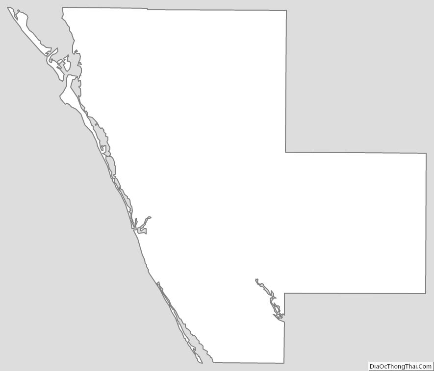
Sarasota County Outline Map