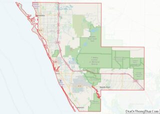
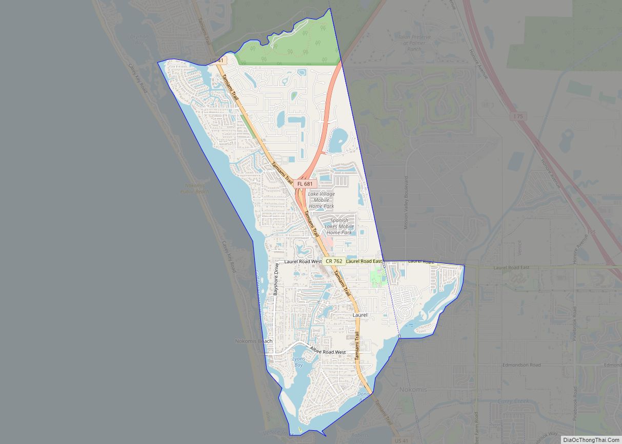
Sarasota (/ˌsærəˈsoʊtə/) is a city in Sarasota County, Florida. It is located in the southern end of the Greater Tampa Bay Area and north of Fort Myers and Punta Gorda. Its official limits include Sarasota Bay and several barrier islands between the bay and the Gulf of Mexico. Sarasota is a principal city of the Sarasota metropolitan area, and is the seat of Sarasota County. According to the 2020 U.S. census, Sarasota had a population of 54,842.
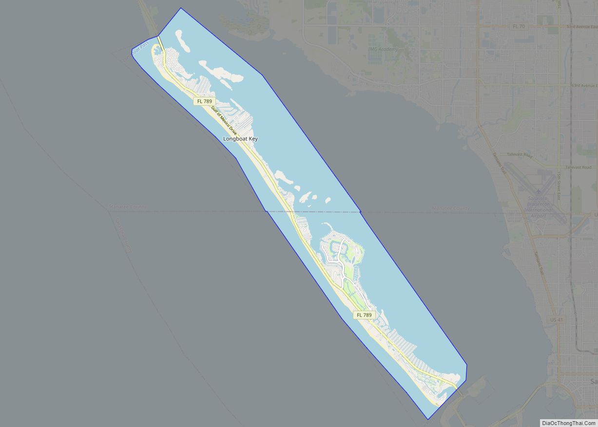
The Sarasota city limits contain several keys, including Lido Key, St. Armands Key, Otter Key, Casey Key, Coon Key, Bird Key, and portions of Siesta Key. Longboat Key is the largest key separating the bay from the gulf.
The city limits expanded significantly with the real estate rush of the early twentieth century, reaching almost 70 square miles (180 km). The speculation boom began to crash in 1926 and the city limits began to contract, shrinking to less than a quarter of that area. The city is renowned for its cultural and environmental amenities, beaches, resorts, and the Sarasota School of Architecture.
| Name: | Sarasota city |
|---|---|
| LSAD Code: | 25 |
| LSAD Description: | city (suffix) |
| State: | Florida |
| County: | Sarasota County |
| Elevation: | 16 ft (7 m) |
| Land Area: | 14.70 sq mi (38.07 km²) |
| Water Area: | 9.39 sq mi (24.31 km²) 42.58% |
| Population Density: | 3,731.51/sq mi (1,440.74/km²) |
| ZIP code: | 34230–34243, 34249, 34260, 34276-34277 |
| Area code: | 941 |
| FIPS code: | 1264175 |
| GNISfeature ID: | 0290675 |
| Website: | www.sarasotafl.gov |
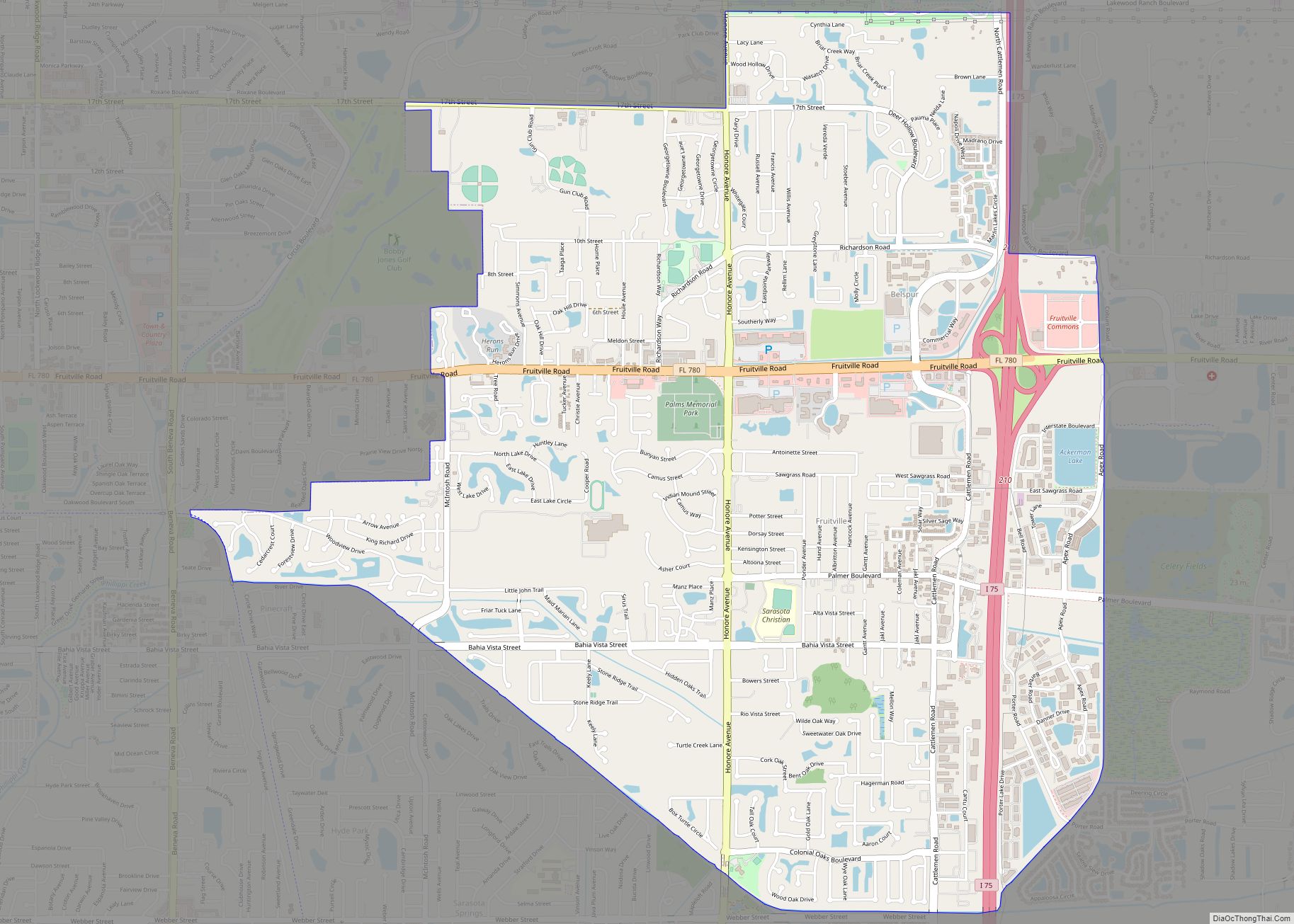
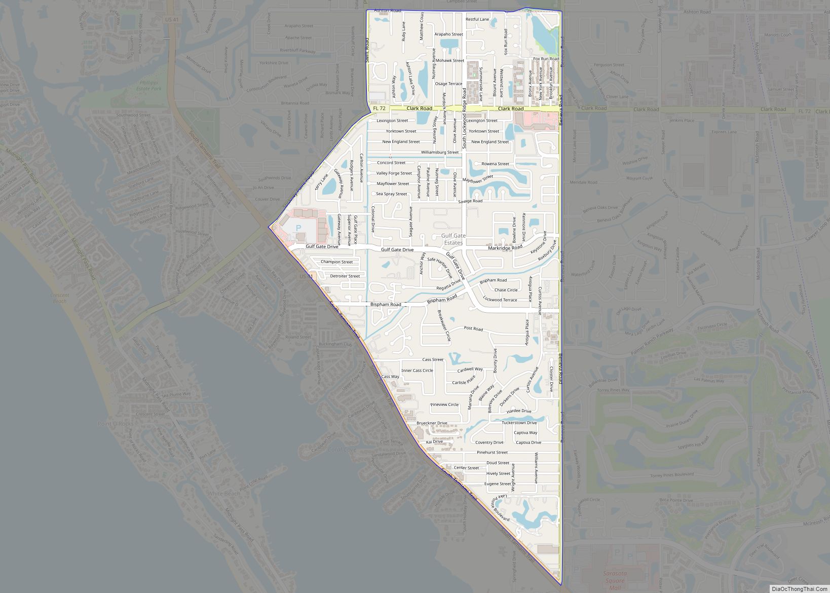
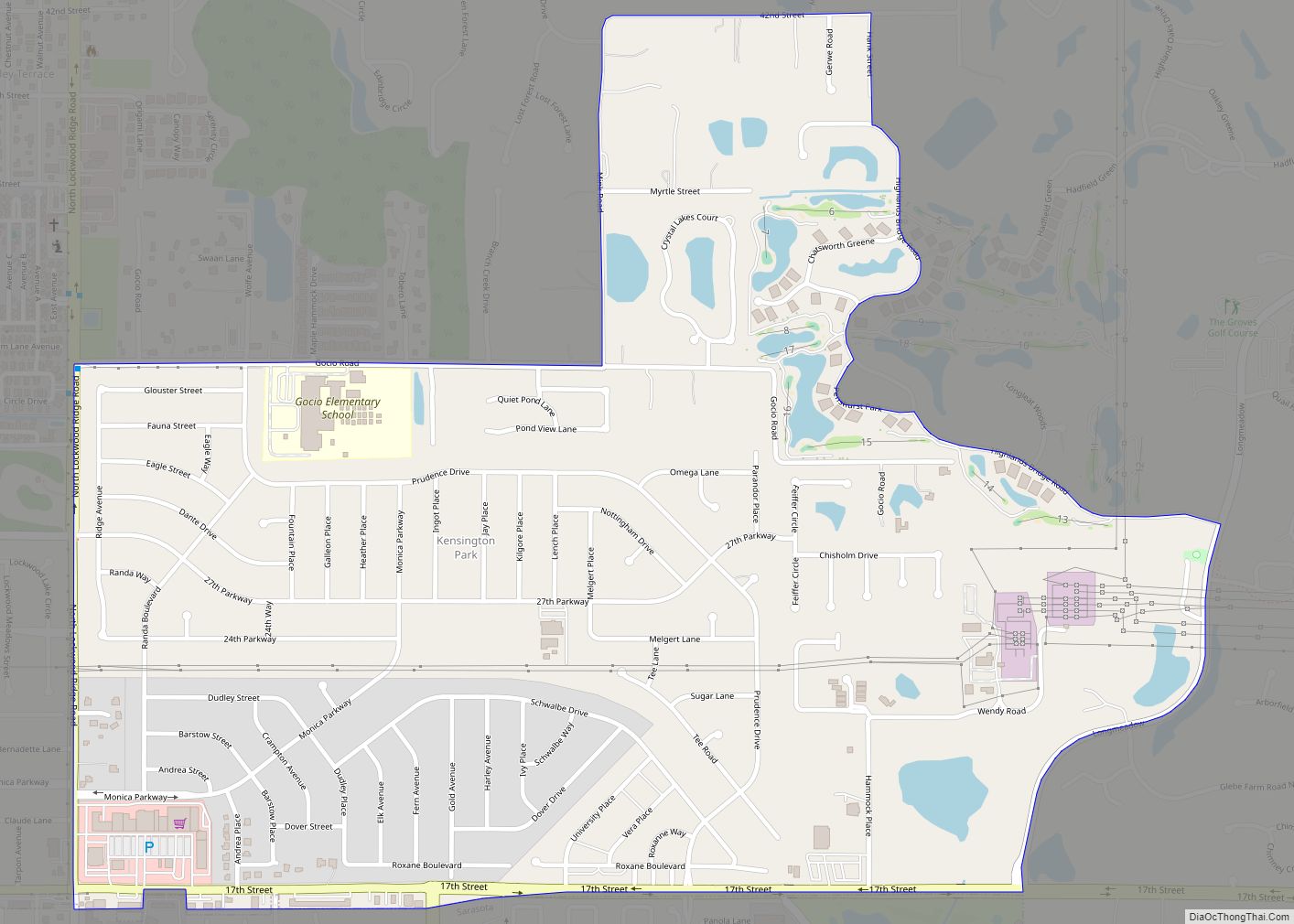
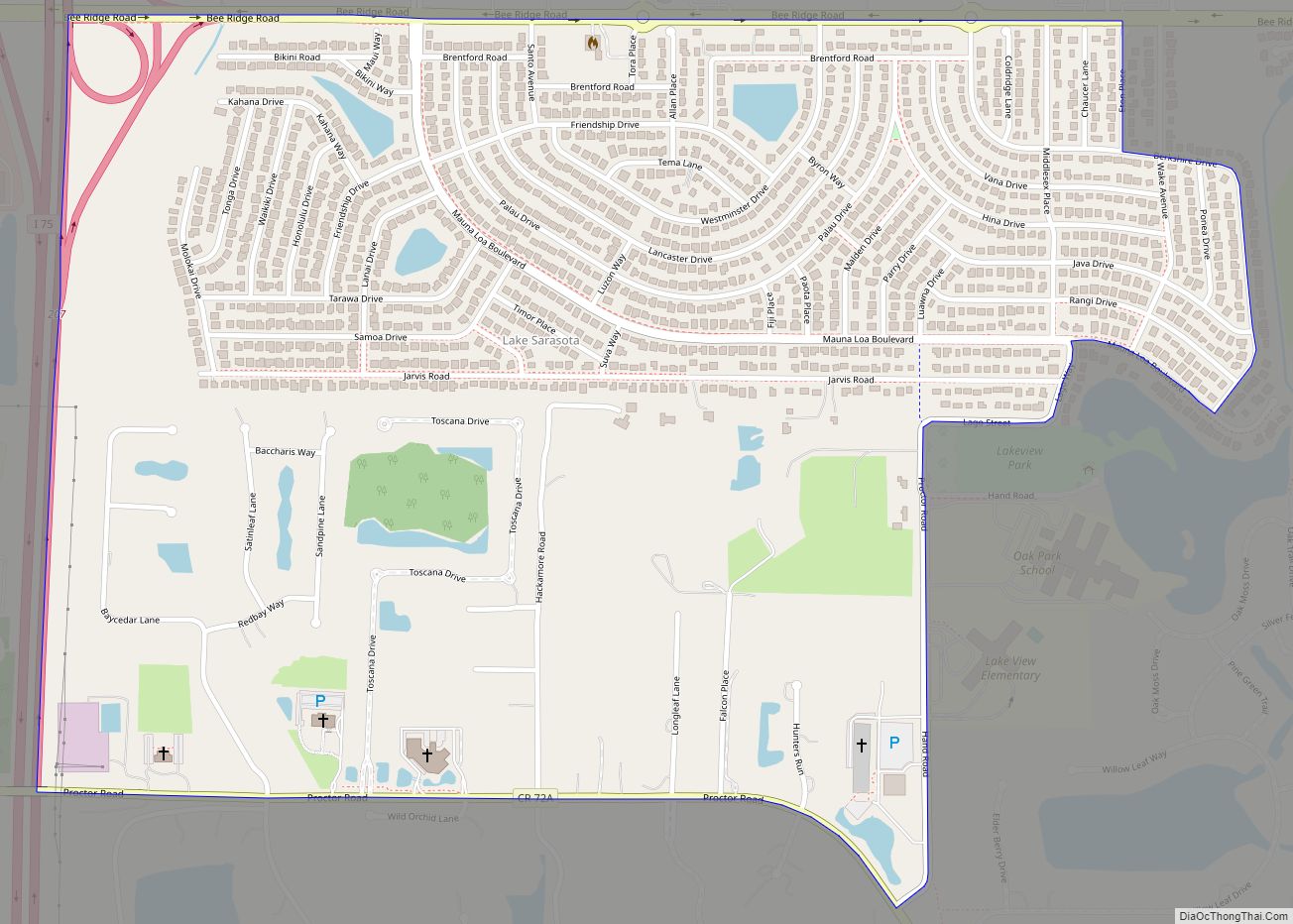
Online Interactive Map
Click on ![]() to view map in "full screen" mode.
to view map in "full screen" mode.
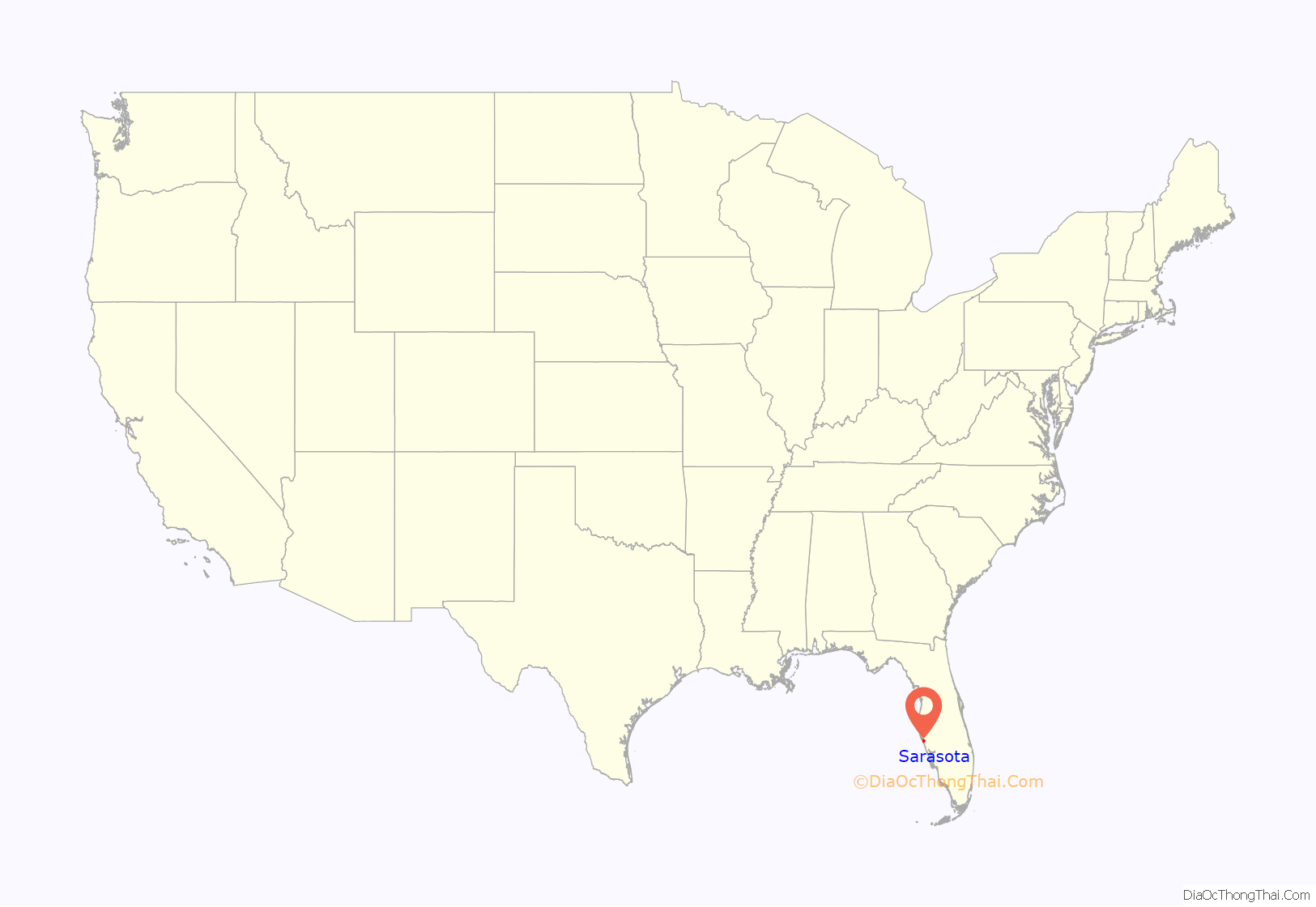
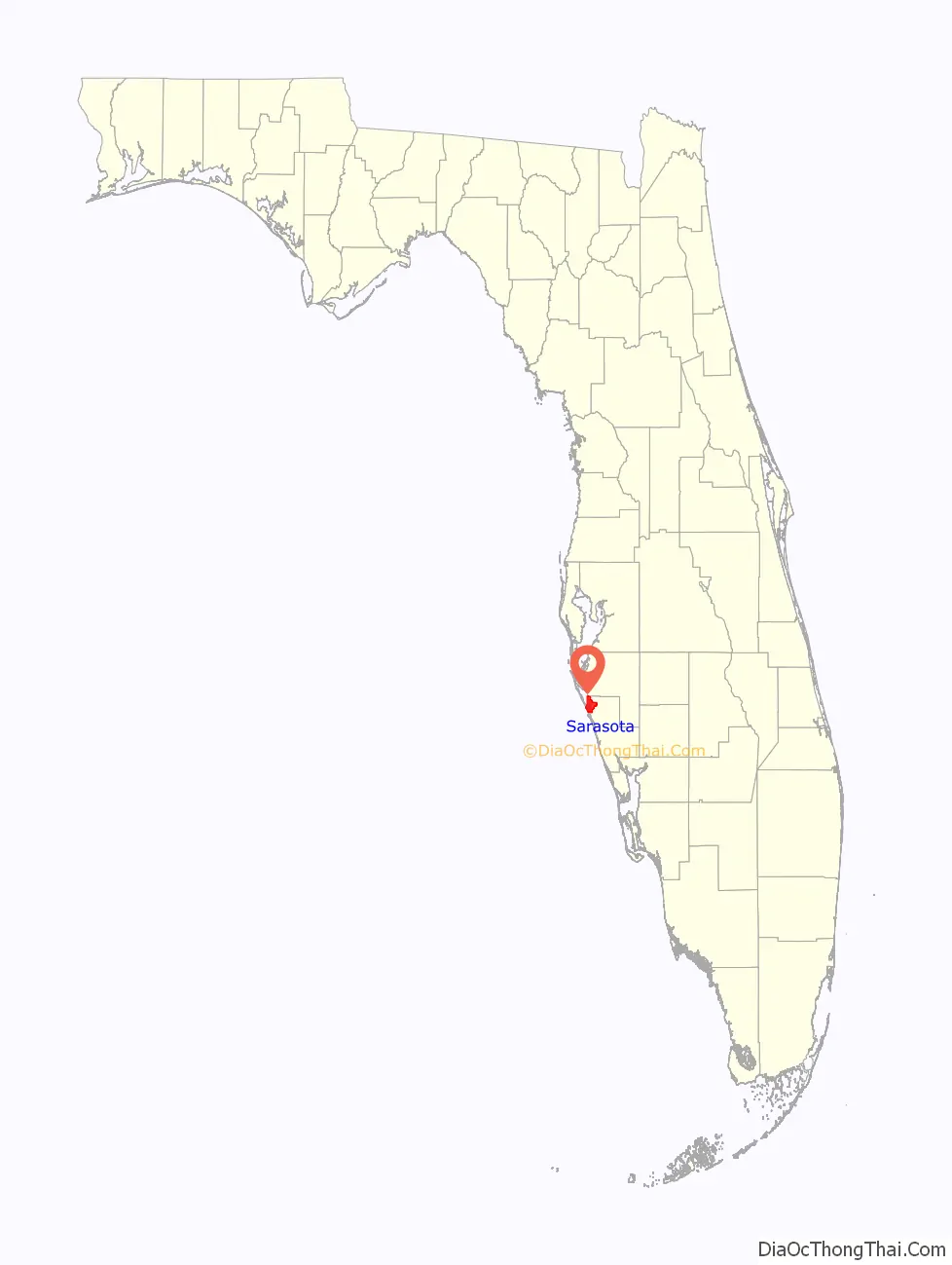
Sarasota location map. Where is Sarasota city?
History
The area known today as Sarasota appeared on a sheepskin Spanish map from 1763 with the word Zarazote over present-day Sarasota and Bradenton. The origin’s of the name is disputed, with some claiming that it is based on conquistador Hernando de Soto’s daughter Sara, and others claiming that it comes from “sara-de-cota,” meaning “an area of land easily observed” in the language of the Calusa indigenous tribe.
Around 1883 to 1885, The Florida Mortgage And Investment Company Of Edinburgh bought 60,000 acres for development in what is now the City of Sarasota. Many Scottish people began to arrive in Sarasota in December 1885. The municipal government of Sarasota was established when it was incorporated as a town in 1902. John Gillespie was the first Mayor. When reincorporated with a city form of government, A. B. Edwards became the first mayor of the city.
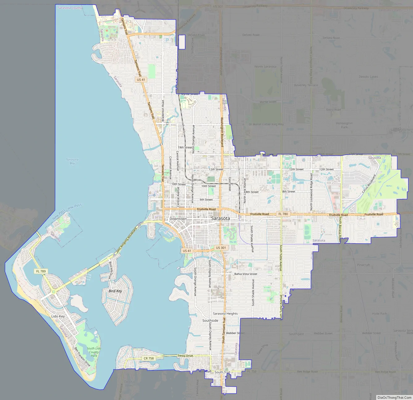
Sarasota Road Map
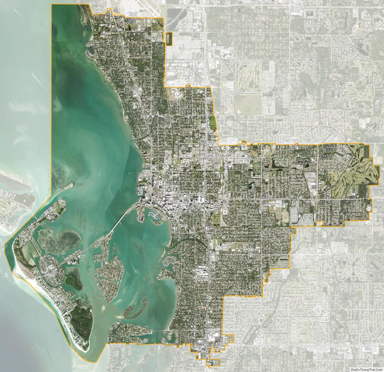
Sarasota city Satellite Map
Geography
Sarasota has a tropical climate with hot, humid summers and warm, drier winters. The high temperatures and high humidity in the summer regularly push the heat index over 100 °F (38 °C). There are distinct rainy and dry seasons, with the rainy season lasting from March to November and the dry season from December to February. According to the U.S. Census Bureau, the city has a total area of 24.08 square miles (62.4 km), of which 14.70 sq mi (38.07 km) is land and 9.39 sq mi (24.3 km) is water.
See also
Map of Florida State and its subdivision:- Alachua
- Baker
- Bay
- Bradford
- Brevard
- Broward
- Calhoun
- Charlotte
- Citrus
- Clay
- Collier
- Columbia
- Desoto
- Dixie
- Duval
- Escambia
- Flagler
- Franklin
- Gadsden
- Gilchrist
- Glades
- Gulf
- Hamilton
- Hardee
- Hendry
- Hernando
- Highlands
- Hillsborough
- Holmes
- Indian River
- Jackson
- Jefferson
- Lafayette
- Lake
- Lee
- Leon
- Levy
- Liberty
- Madison
- Manatee
- Marion
- Martin
- Miami-Dade
- Monroe
- Nassau
- Okaloosa
- Okeechobee
- Orange
- Osceola
- Palm Beach
- Pasco
- Pinellas
- Polk
- Putnam
- Saint Johns
- Saint Lucie
- Santa Rosa
- Sarasota
- Seminole
- Sumter
- Suwannee
- Taylor
- Union
- Volusia
- Wakulla
- Walton
- Washington
- Alabama
- Alaska
- Arizona
- Arkansas
- California
- Colorado
- Connecticut
- Delaware
- District of Columbia
- Florida
- Georgia
- Hawaii
- Idaho
- Illinois
- Indiana
- Iowa
- Kansas
- Kentucky
- Louisiana
- Maine
- Maryland
- Massachusetts
- Michigan
- Minnesota
- Mississippi
- Missouri
- Montana
- Nebraska
- Nevada
- New Hampshire
- New Jersey
- New Mexico
- New York
- North Carolina
- North Dakota
- Ohio
- Oklahoma
- Oregon
- Pennsylvania
- Rhode Island
- South Carolina
- South Dakota
- Tennessee
- Texas
- Utah
- Vermont
- Virginia
- Washington
- West Virginia
- Wisconsin
- Wyoming