North Port is a city located in Sarasota County, Florida, United States. The population was 74,793 at the 2020 US Census. It is part of the North Port–Bradenton–Sarasota Metropolitan Statistical Area. It was originally developed by General Development Corporation as the northern / Sarasota County portion of its Port Charlotte development, the other portion located in the adjacent Charlotte County. GDC dubbed the city North Port Charlotte, and it was incorporated under that name through a special act of the Florida Legislature in 1959. By referendum in 1974, the city’s residents approved a change to its name as North Port, dropping Charlotte from its name to proclaim the city as a separate identity. It is home to the Little Salt Spring, an archaeological and paleontological site owned by the University of Miami.
| Name: | North Port city |
|---|---|
| LSAD Code: | 25 |
| LSAD Description: | city (suffix) |
| State: | Florida |
| County: | Sarasota County |
| Incorporated: | June 18, 1959 (1959-06-18) |
| Elevation: | 10 ft (3 m) |
| Land Area: | 99.38 sq mi (257.39 km²) |
| Water Area: | 4.83 sq mi (12.52 km²) 4.40% |
| Population Density: | 752.60/sq mi (290.58/km²) |
| ZIP code: | 34286, 34287, 34288, 34289, 34290, 34291, 34293 |
| FIPS code: | 1249675 |
| GNISfeature ID: | 0294334 |
| Website: | cityofnorthport.com |
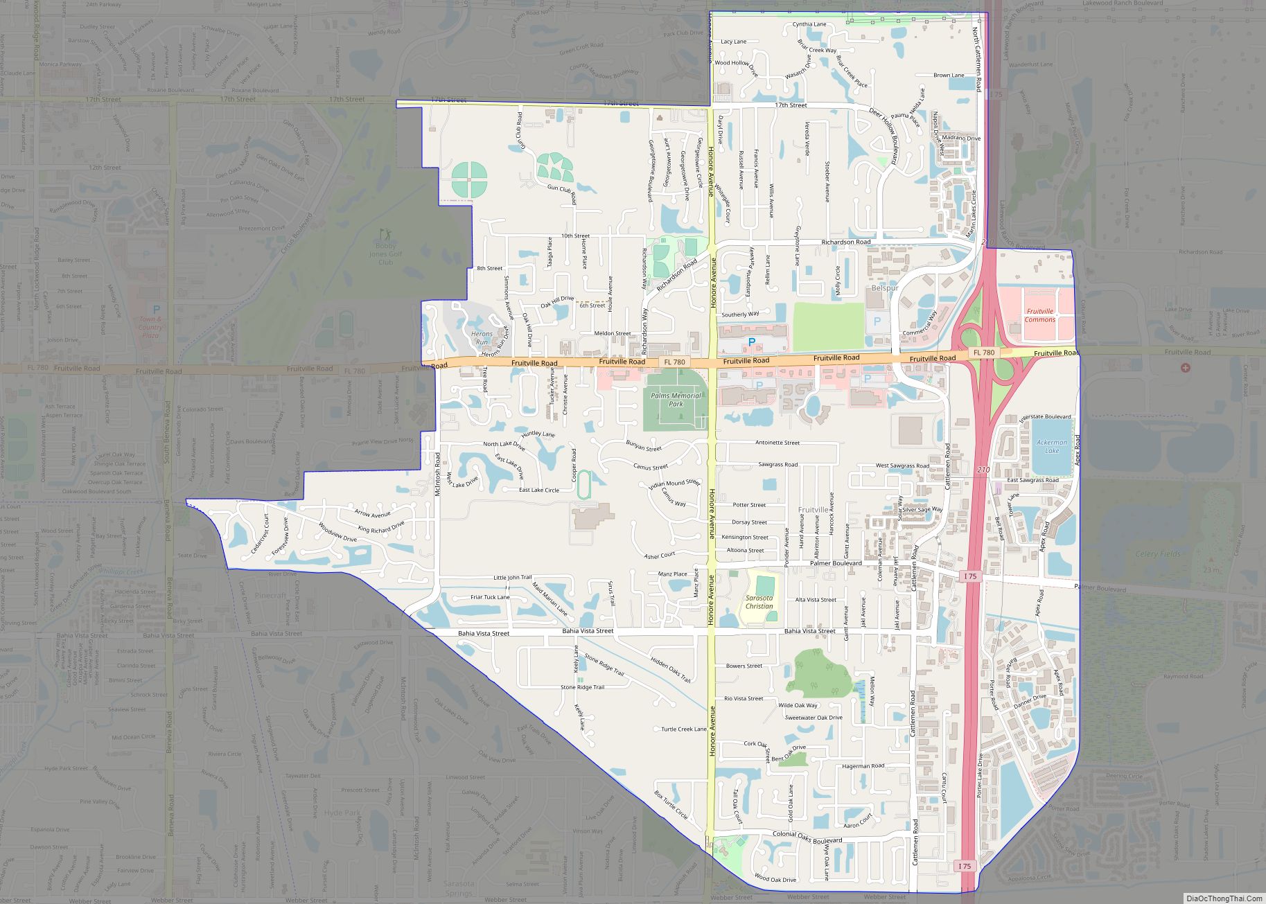
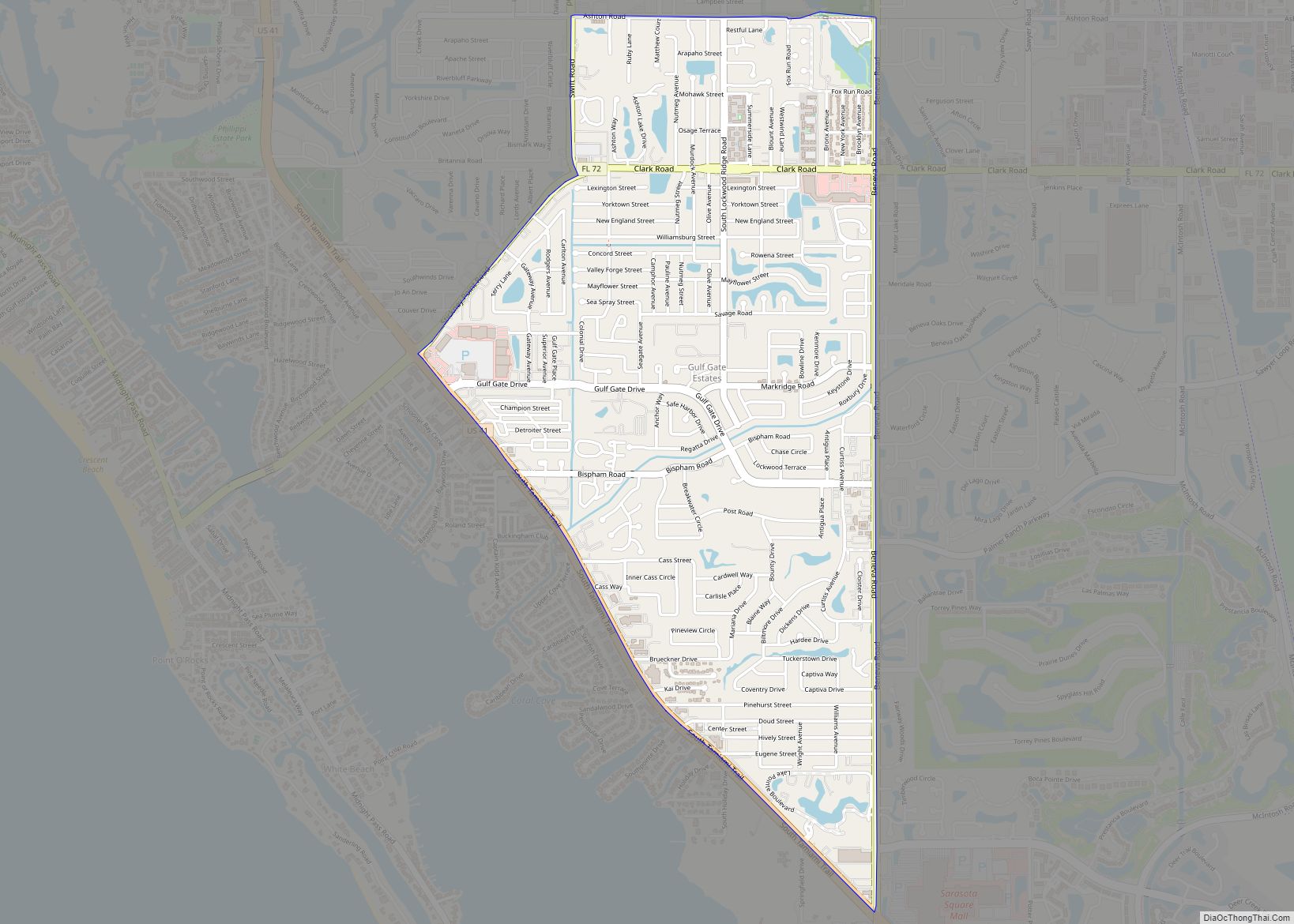
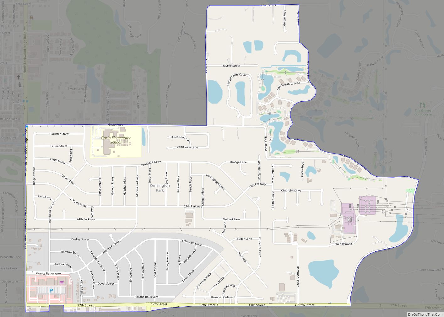
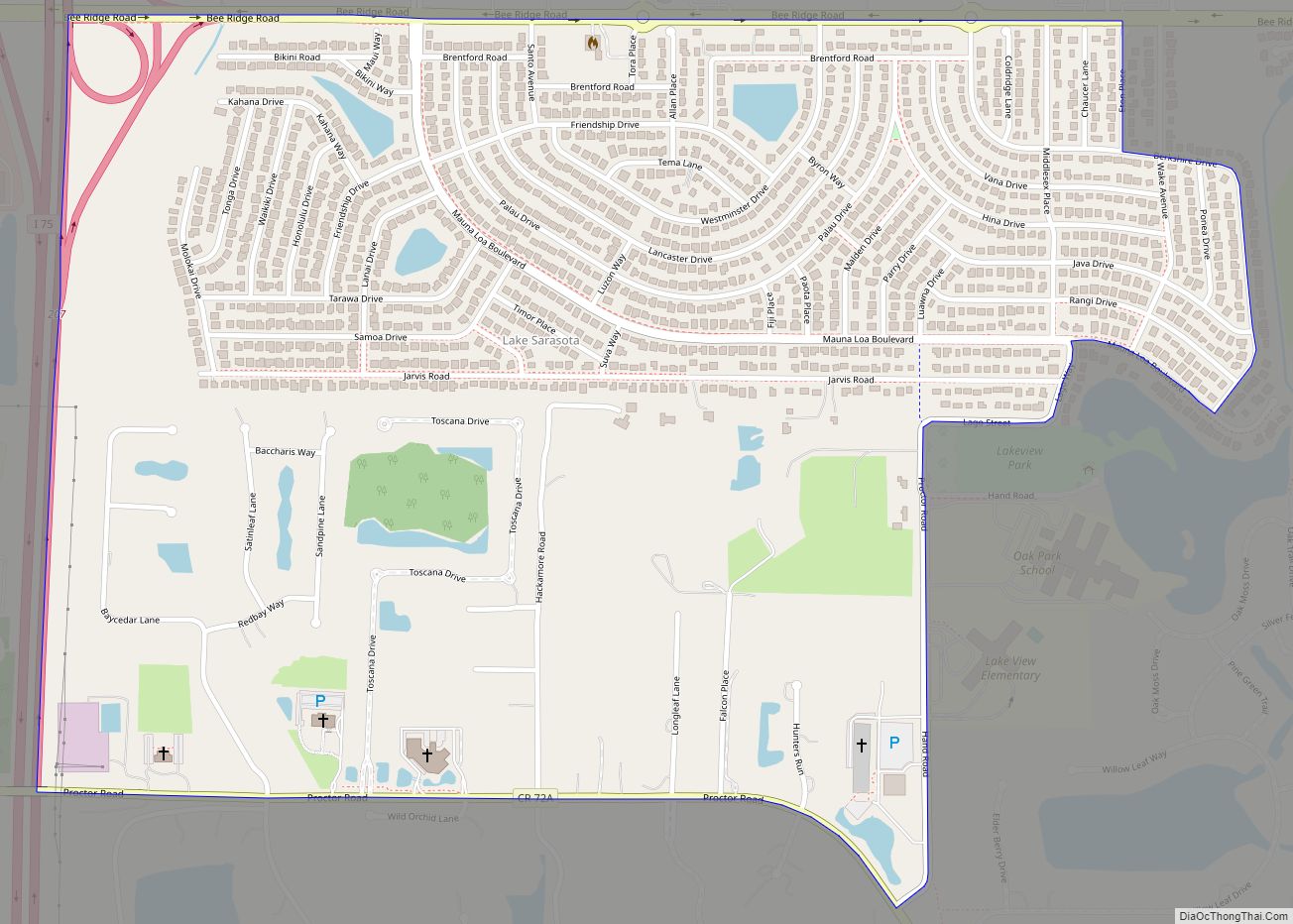
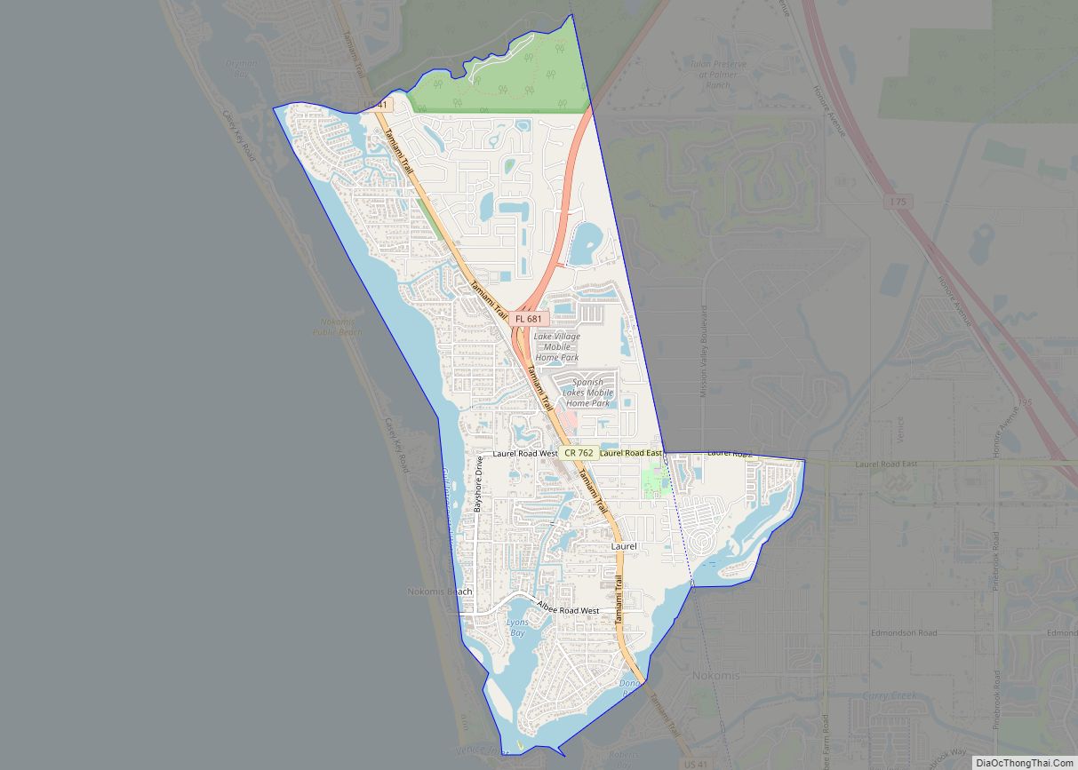
Online Interactive Map
Click on ![]() to view map in "full screen" mode.
to view map in "full screen" mode.
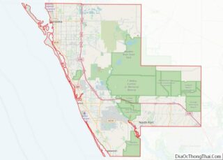
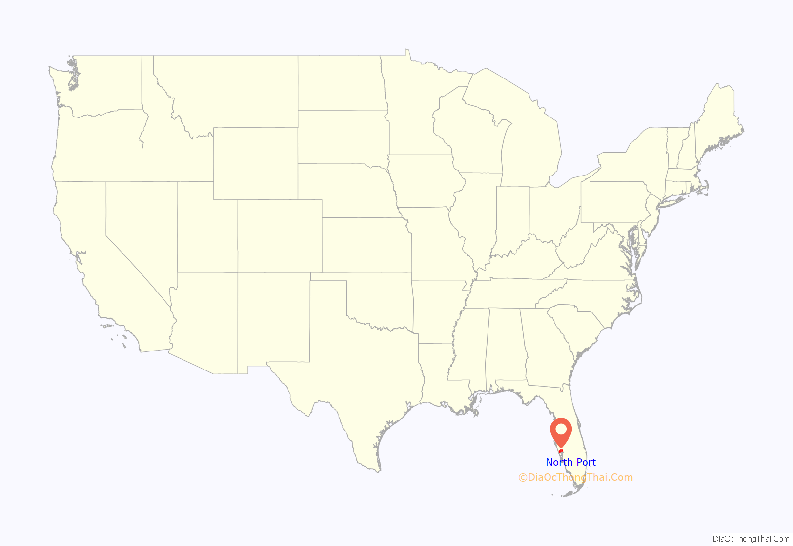
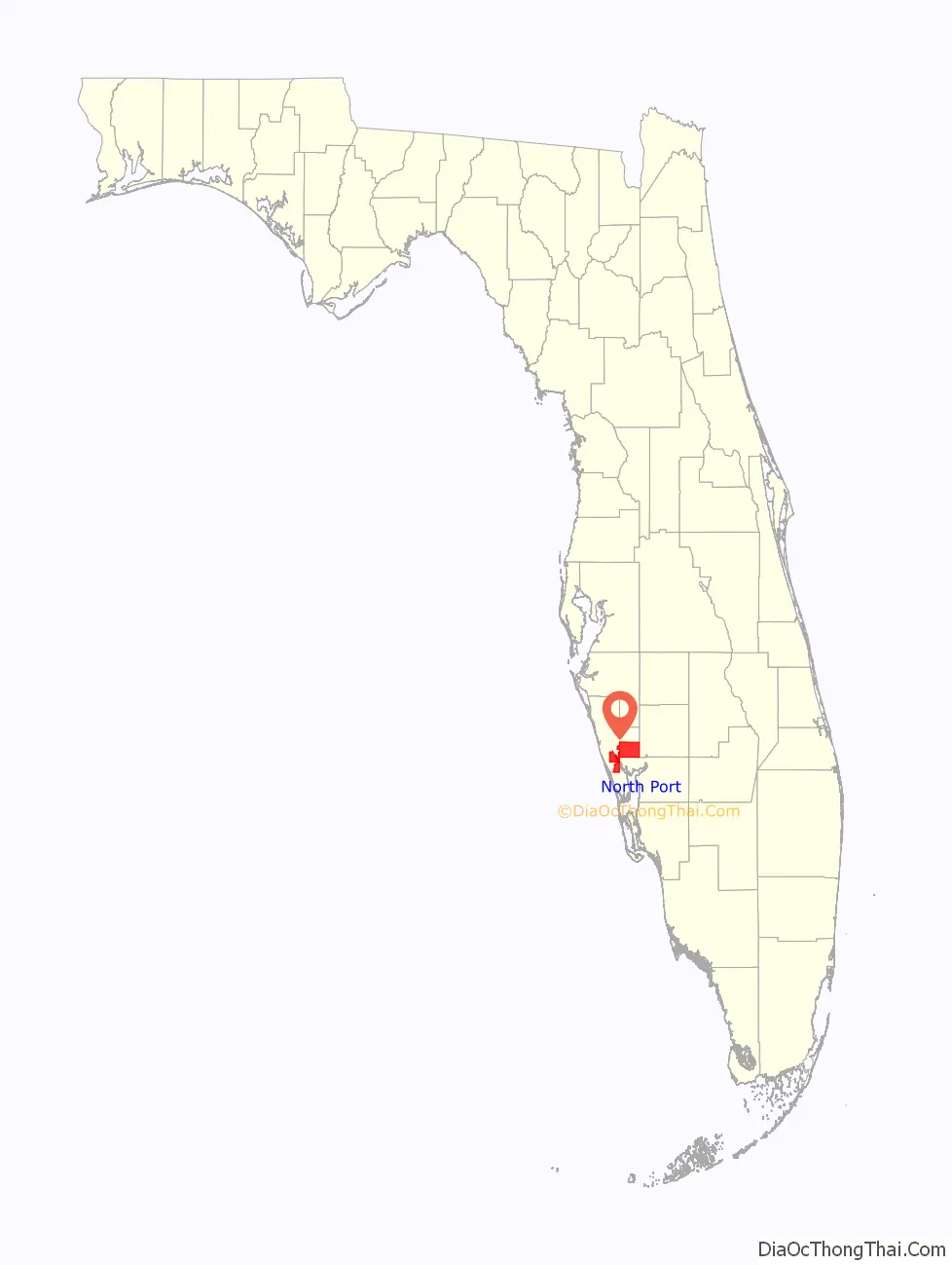
North Port location map. Where is North Port city?
History
Archaeological digs at the Little Salt Spring show that what is now North Port was inhabited by pre-Columbian Native Americans. Evidence of their existence includes projectile points, a carved oak mortar, and a piece of a nonreturnable wooden boomerang.
In 1954, the Mackle Brothers started the General Development Corporation with the intention of selling property in Florida to northerners. Not only would they plat and sell a majority of what is now North Port, the company’s employees served on the city’s first council. The city itself was incorporated in 1959.
After Hurricane Ian hit Florida in 2022, North Port experienced flooding.
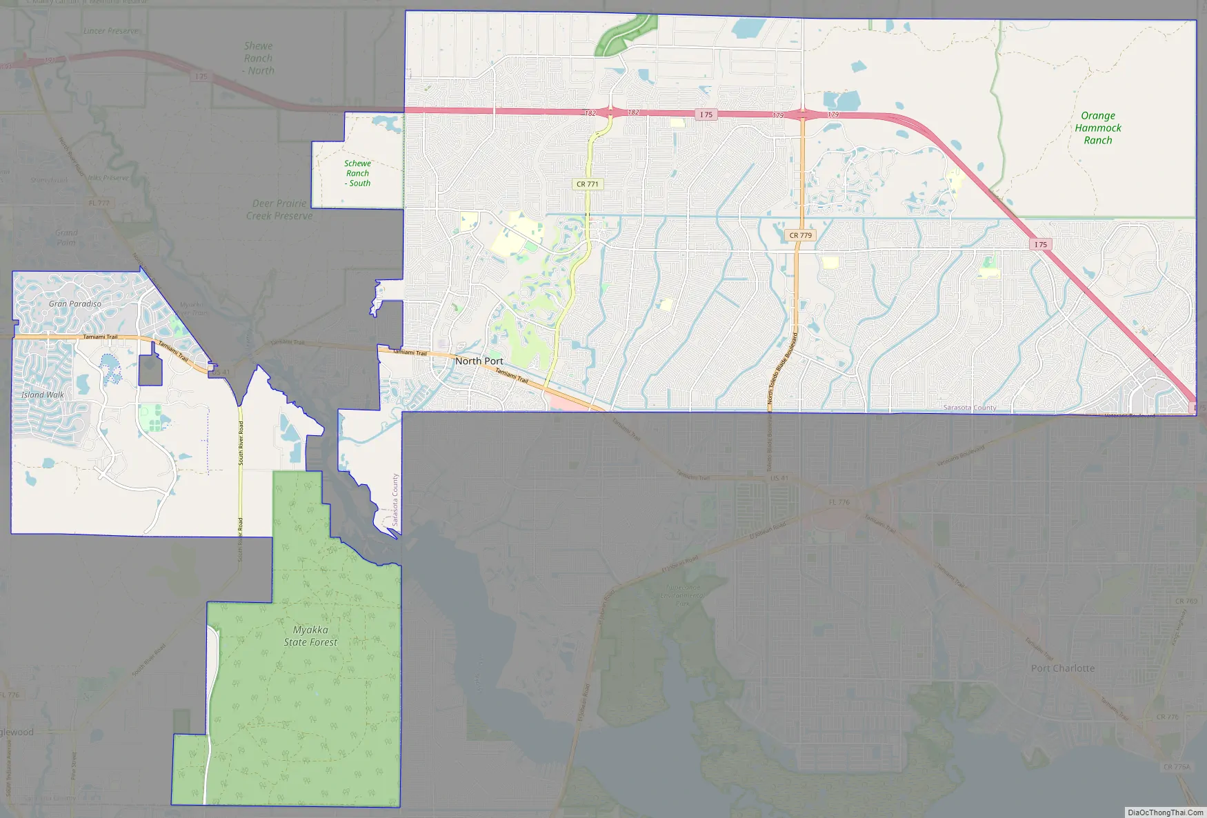
North Port Road Map
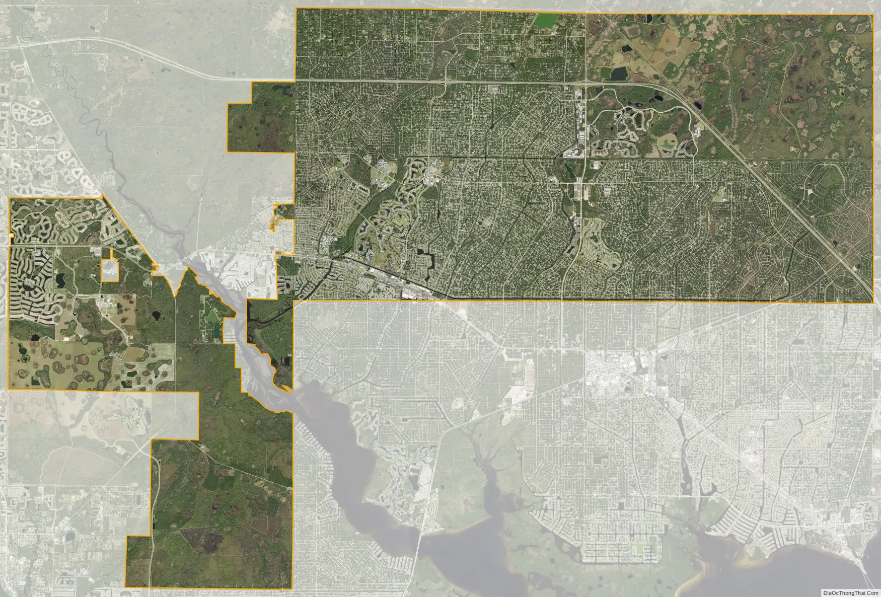
North Port city Satellite Map
Geography
North Port is a municipality containing large-scale residential subdivisions along with an extensive network of streets. The municipality has annexed nearby locales, including the area known as Warm Mineral Springs, the location of a notable artesian spring, as well as its own significant residential subdivision.
According to the United States Census Bureau, the city has a total area of 104.16 square miles (269.8 km), of which 99.58 square miles (257.9 km) is land and 4.58 square miles (11.9 km) (4.40%) is water.
Myakkahatchee Creek Environmental Park is in North Port.
See also
Map of Florida State and its subdivision:- Alachua
- Baker
- Bay
- Bradford
- Brevard
- Broward
- Calhoun
- Charlotte
- Citrus
- Clay
- Collier
- Columbia
- Desoto
- Dixie
- Duval
- Escambia
- Flagler
- Franklin
- Gadsden
- Gilchrist
- Glades
- Gulf
- Hamilton
- Hardee
- Hendry
- Hernando
- Highlands
- Hillsborough
- Holmes
- Indian River
- Jackson
- Jefferson
- Lafayette
- Lake
- Lee
- Leon
- Levy
- Liberty
- Madison
- Manatee
- Marion
- Martin
- Miami-Dade
- Monroe
- Nassau
- Okaloosa
- Okeechobee
- Orange
- Osceola
- Palm Beach
- Pasco
- Pinellas
- Polk
- Putnam
- Saint Johns
- Saint Lucie
- Santa Rosa
- Sarasota
- Seminole
- Sumter
- Suwannee
- Taylor
- Union
- Volusia
- Wakulla
- Walton
- Washington
- Alabama
- Alaska
- Arizona
- Arkansas
- California
- Colorado
- Connecticut
- Delaware
- District of Columbia
- Florida
- Georgia
- Hawaii
- Idaho
- Illinois
- Indiana
- Iowa
- Kansas
- Kentucky
- Louisiana
- Maine
- Maryland
- Massachusetts
- Michigan
- Minnesota
- Mississippi
- Missouri
- Montana
- Nebraska
- Nevada
- New Hampshire
- New Jersey
- New Mexico
- New York
- North Carolina
- North Dakota
- Ohio
- Oklahoma
- Oregon
- Pennsylvania
- Rhode Island
- South Carolina
- South Dakota
- Tennessee
- Texas
- Utah
- Vermont
- Virginia
- Washington
- West Virginia
- Wisconsin
- Wyoming