Stanly County is a county in the U.S. state of North Carolina. As of the 2020 census, the population was 62,504. Its county seat is Albemarle.
Stanly County comprises the Albemarle, NC Micropolitan Statistical Area, which is also included in the Charlotte–Concord, NC-South Carolina Combined Statistical Area.
| Name: | Stanly County |
|---|---|
| FIPS code: | 37-167 |
| State: | North Carolina |
| Founded: | 1841 |
| Named for: | John Stanly |
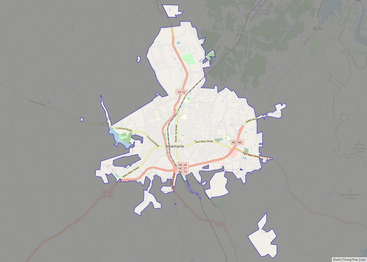
| Seat: | Albemarle |
| Largest city: | Albemarle |
| Total Area: | 405 sq mi (1,050 km²) |
| Land Area: | 395 sq mi (1,020 km²) |
| Total Population: | 63,425 |
| Population Density: | 160.6/sq mi (62.0/km²) |
| Time zone: | UTC−5 (Eastern) |
| Summer Time Zone (DST): | UTC−4 (EDT) |
| Website: | www.stanlycountync.gov |
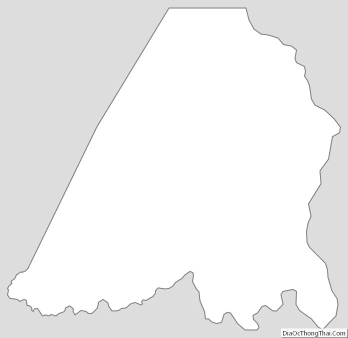
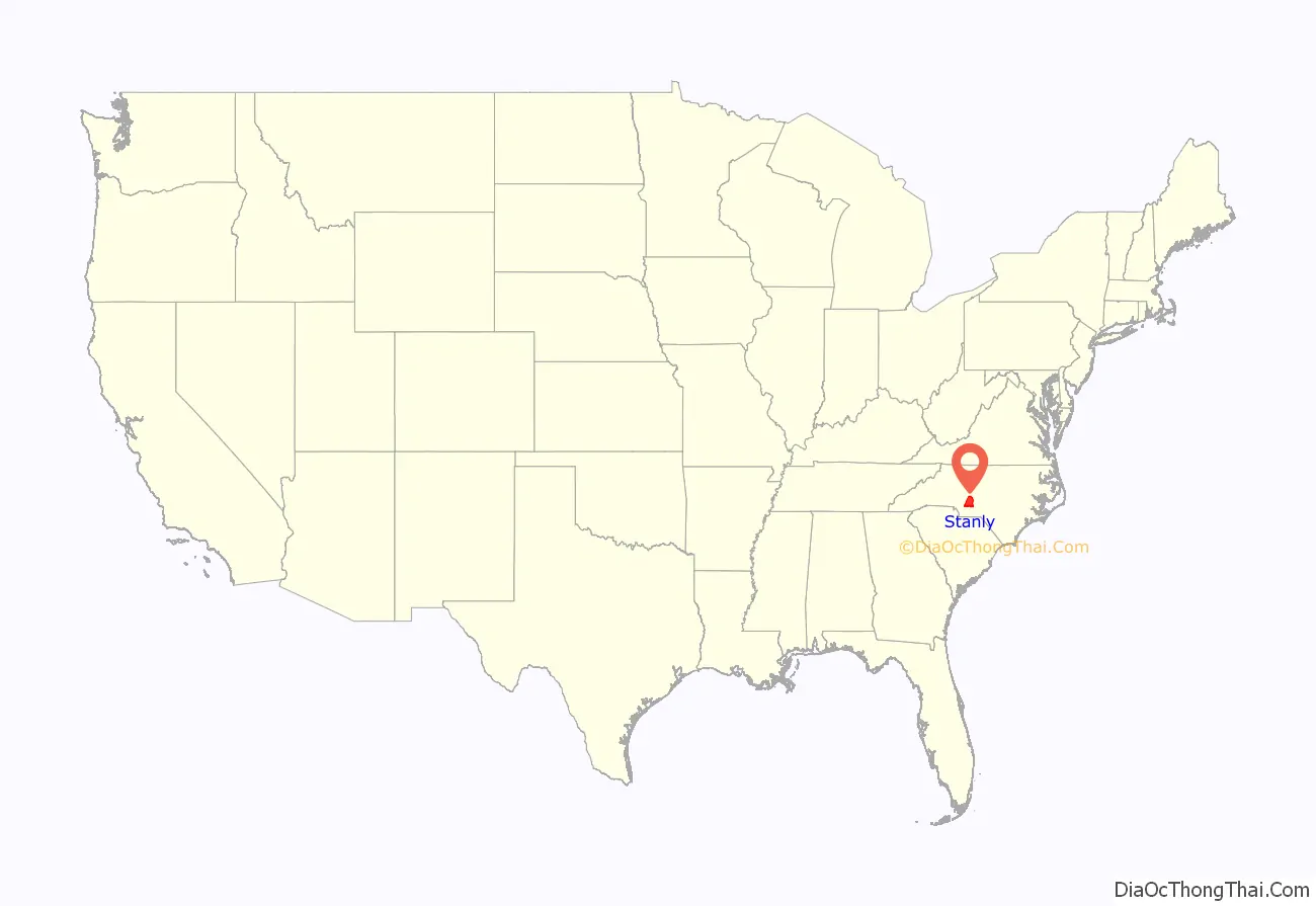
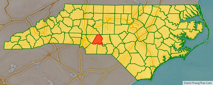
Stanly County location map. Where is Stanly County?
History
The site of modern-day Stanly County was originally peopled by small tribes of hunter-gatherers and Mound Builders whose artifacts and settlements have been dated back nearly 10,000 years. Large-scale European settlement of the region came in the mid-18th century via two primary waves: immigrants of Dutch, Scots-Irish and German descent moved from Pennsylvania and New Jersey seeking enhanced religious and political tolerance, while immigrants of English backgrounds came to the region from Virginia and the Cape Fear River Basin in Eastern North Carolina.
In early English colonial times, the Stanly County area was politically part of the New Hanover Precinct, out of which the Bladen Precinct was created in 1734. The renamed Bladen County was subdivided to create Anson County in 1750, which in turn spawned Montgomery County in 1779.
Stanly County was formed in 1841 from the part of Montgomery County west of the Pee Dee River. It was named for John Stanly of New Bern (1774–1834), who served several terms in the North Carolina House of Commons and two terms (1801–1803, 1809–1811) in the United States House of Representatives.
Hanging of Alec Whitley
Whitley was accused of theft and murder in Stanly County and also in Arkansas. Following a short manhunt through several states, he was captured by a local posse near Big Lick in 1892. Shortly after his capture and incarceration a mob of angry citizens gathered at the jail to demand Whitley be turned over to them. Sheriff Snuggs had been alerted to the mob’s intention and he transferred all the prisoners from the jail to his own home across the street—except Whitley, who was seized by the mob, beaten, and hanged from a tree off South Street in Albemarle.
Name
Research by Chris Bramlett indicates that John Stanly had no connection with the area named for him, but that the name was chosen to please state legislators. Bramlett also believed that Stanly’s father John Wright Stanly was named Stanley and changed the spelling. Because the county’s name was often misspelled, in 1971 the North Carolina General Assembly passed legislation making the “Stanly” spelling official.
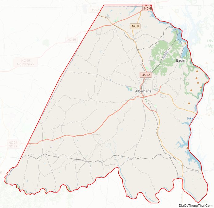
Stanly County Road Map
Geography
According to the U.S. Census Bureau, the county has a total area of 405 square miles (1,050 km), of which 395 square miles (1,020 km) is land and 9.8 square miles (25 km) (2.4%) is water.
National protected area
- Uwharrie National Forest (part)
State and local protected areas
- Badin Lake Park
- City Lake Park
- Locust City Park
- Morrow Mountain State Park
- Roger F. Snyder Greenway
- Town of Oakboro District Park
Major water bodies
- Badin Lake
- Big Bear Creek
- Great Pee Dee River
- Island Creek
- Lake Tillery
- Little Bear Creek
- Little Creek
- Little Long Creek
- Long Creek
- Long Lake
- Mountain Creek
- Riles Creek
- Rocky River
- Tuckertown Reservoir
- Yadkin River
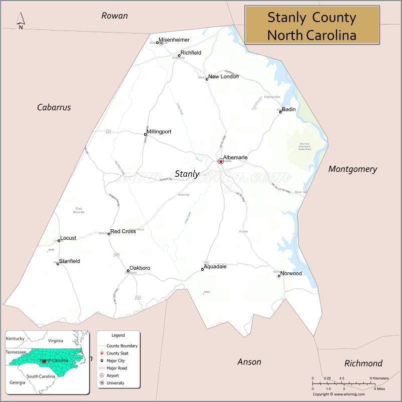
Adjacent counties
- Rowan County – north
- Davidson County – northeast
- Montgomery County – east
- Anson County – south
- Union County – south
- Richmond County – southeast
- Cabarrus County – west
Major highways
- US 52
- US 52 Bus.
- NC 8
- NC 24
- NC 27
- NC 49
- NC 73
- NC 138
- NC 200
- NC 205
- NC 731
- NC 740
- NC 742
Major infrastructure
- Stanly County Airport
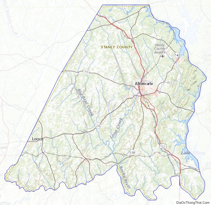
Stanly County Topographic Map
Stanly County Satellite Map

Stanly County Outline Map