Concord is the county seat and largest city in Cabarrus County, in the U.S. state of North Carolina. At the 2020 census, the city had a population of 105,240. In terms of population, the city of Concord is the second-largest city in the Charlotte metropolitan area and is the 10th most populous city in North Carolina and 287th most populous city in the U.S.
The city was a winner of the All-America City Award in 2004. Located near the center of Cabarrus County in the Piedmont region, it is 20 miles (32 km) northeast of Uptown Charlotte. Concord is the home to some of North Carolina’s top tourist destinations, including NASCAR’s Charlotte Motor Speedway and Concord Mills.
| Name: | Concord city |
|---|---|
| LSAD Code: | 25 |
| LSAD Description: | city (suffix) |
| State: | North Carolina |
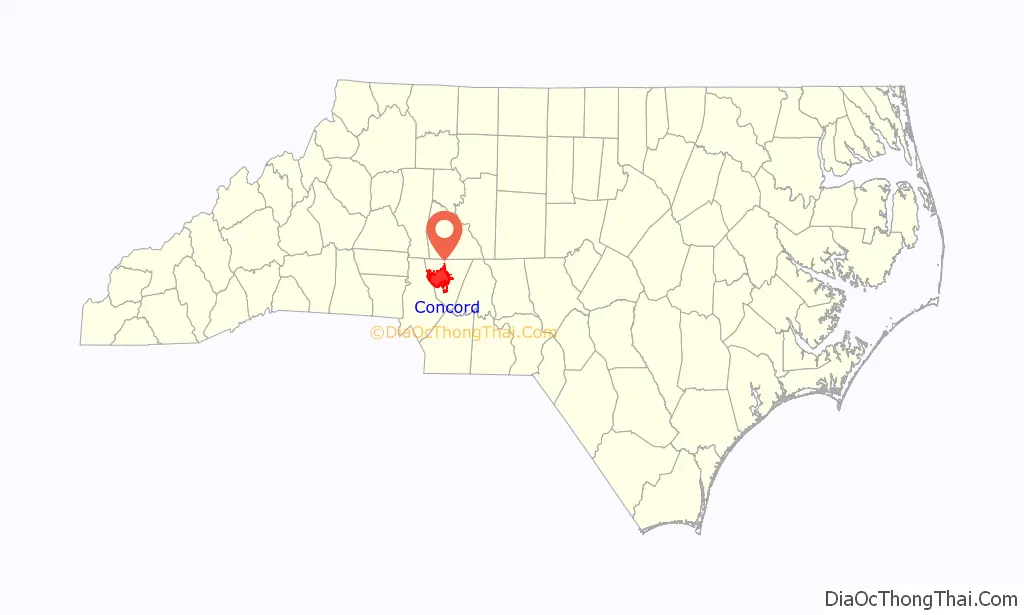
| County: | Cabarrus County |
| Founded: | April 1796 |
| Incorporated: | 1806 |
| Elevation: | 706 ft (215 m) |
| Land Area: | 64.00 sq mi (165.77 km²) |
| Water Area: | 0.04 sq mi (0.09 km²) 0.06% |
| Population Density: | 1,644.32/sq mi (634.87/km²) |
| ZIP code: | 28025, 28026, 28027 |
| Area code: | 704, 980 |
| FIPS code: | 3714100 |
| GNISfeature ID: | 0983424 |
| Website: | www.concordnc.gov |
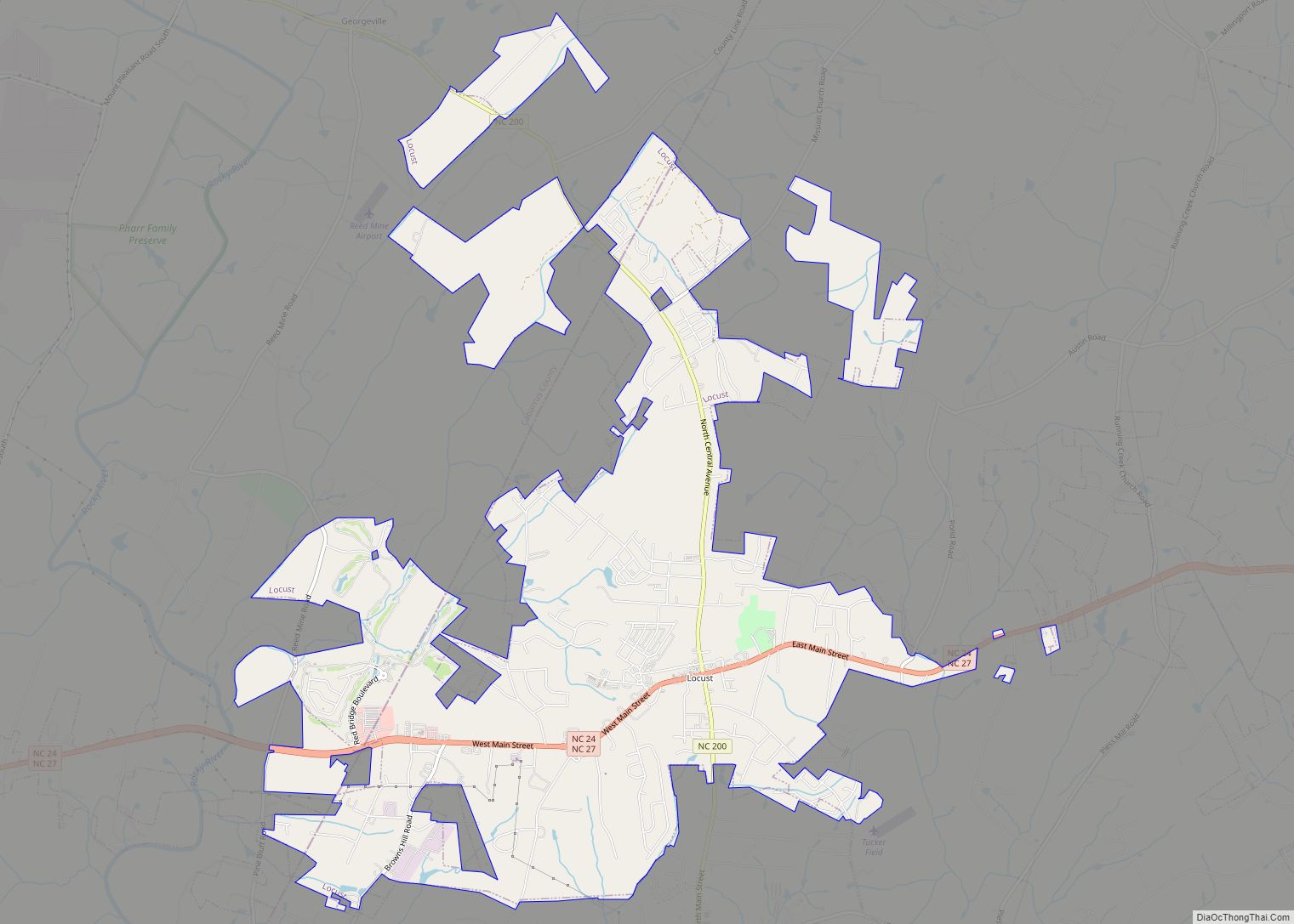
Online Interactive Map
Click on ![]() to view map in "full screen" mode.
to view map in "full screen" mode.
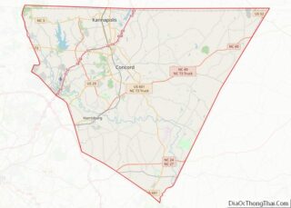
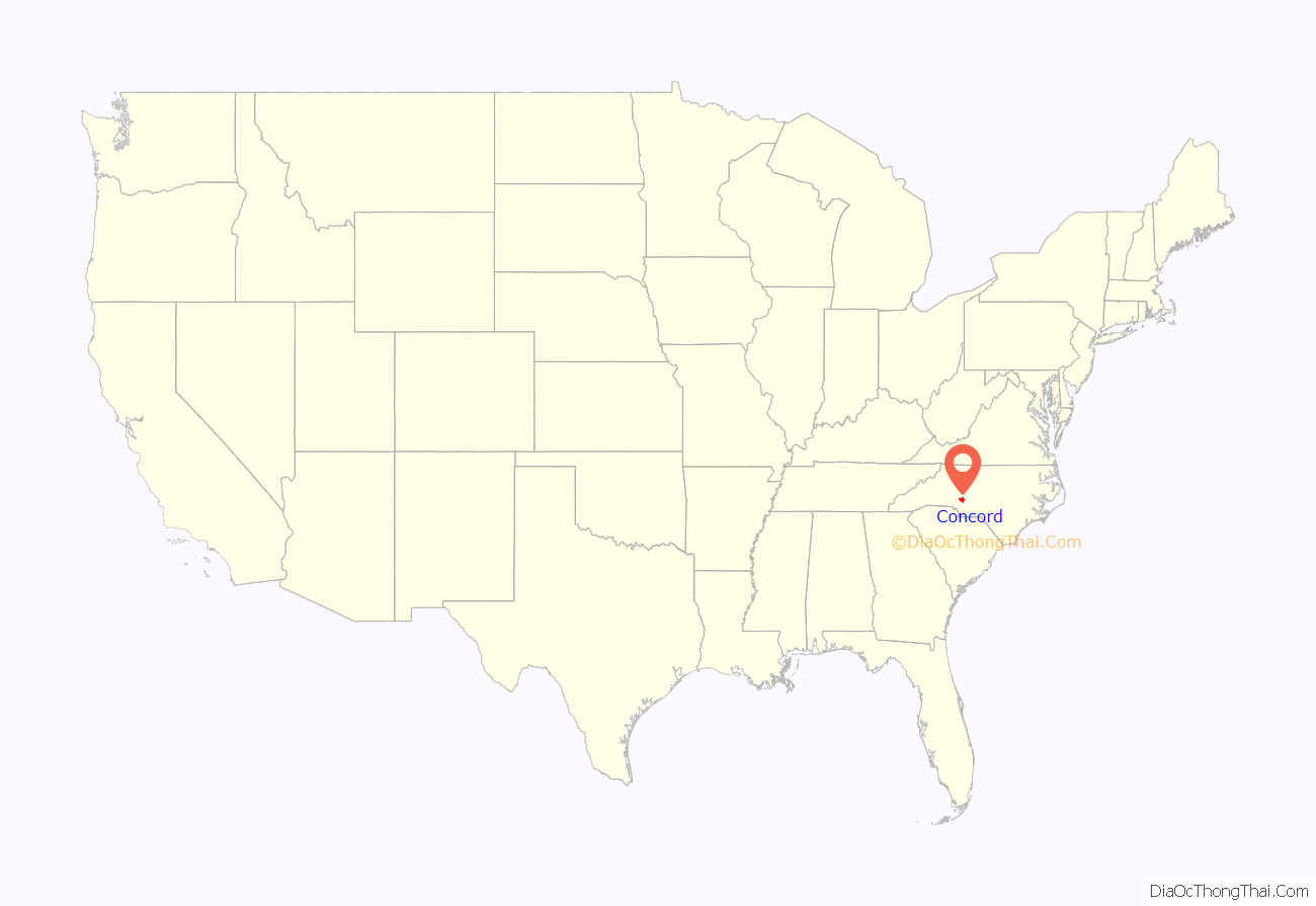
Concord location map. Where is Concord city?
History
Concord, located in today’s rapidly growing northeast quadrant of the Charlotte metropolitan area, was first settled about 1750 by German and Scots-Irish immigrants. The name Concord means “to bring into harmony”. This name was chosen after a lengthy dispute between the German Lutherans and Scotch-Irish Presbyterians over where the county seat should be located. Concord is considered a relatively old town by US standards, as it was incorporated in 1806. Today, markers identifying the original town limits can be seen in the downtown area.
As county seat, Concord became a center of trade and retail for the cotton-producing region, especially on court days. The downtown would be crowded with farmers and townfolk, in addition to lawyers and their clients. During the antebellum era, wealth was built by planters through the cultivation of cotton as a commodity crop; the work was done by enslaved African Americans.
Based on wealth from cotton as a commodity crop and through textile manufacturing, Concord’s white planters and business owners built some significant homes in the late nineteenth and early twentieth centuries; they range along North and South Union Street and Edgewood Avenue. Within the North Union Historic District is Memorial Garden. Located on 3 acres (12,000 m), the garden winds through the 200-year-old cemetery of the First Presbyterian Church.
Located in the Piedmont, Concord became a site of industrialization with cotton mills in the late 19th century. Among the owners of the new mills in the area were men of the rising black middle-class in Wilmington, North Carolina, such as Warren Clay Coleman, John C. Dancy (appointed as collector of customs at the port), and others, who organized Coleman Manufacturing Company in 1897. They built and operated what is believed to have been the first cotton mill owned by blacks in the nation. They hoped to promote economic security for people of color. However, the Wilmington Insurrection of 1898, with white attacks on black areas of the city, caused many deaths, as well as destroying homes and businesses built by blacks since the Civil War. In 1900, Dancy was among more than 2000 blacks who left the city permanently after the riot. He moved to Washington, DC, appointed as the federal Recorder of Deeds, and serving until 1910. The mill operated under black ownership through 1904, hitting difficult times after Coleman died. The brick mill building was later taken over by Fieldcrest Cannon. It was enlarged and added on to, nearly doubling its square footage.
From the time of incorporation in the late 1700s through the 1970s, Concord’s jurisdiction was centered around the downtown area. Since then, most annexations have taken place west of the center-city area toward Charlotte. Portions of the city limit boundary adjoin the Cabarrus/Mecklenburg County line.
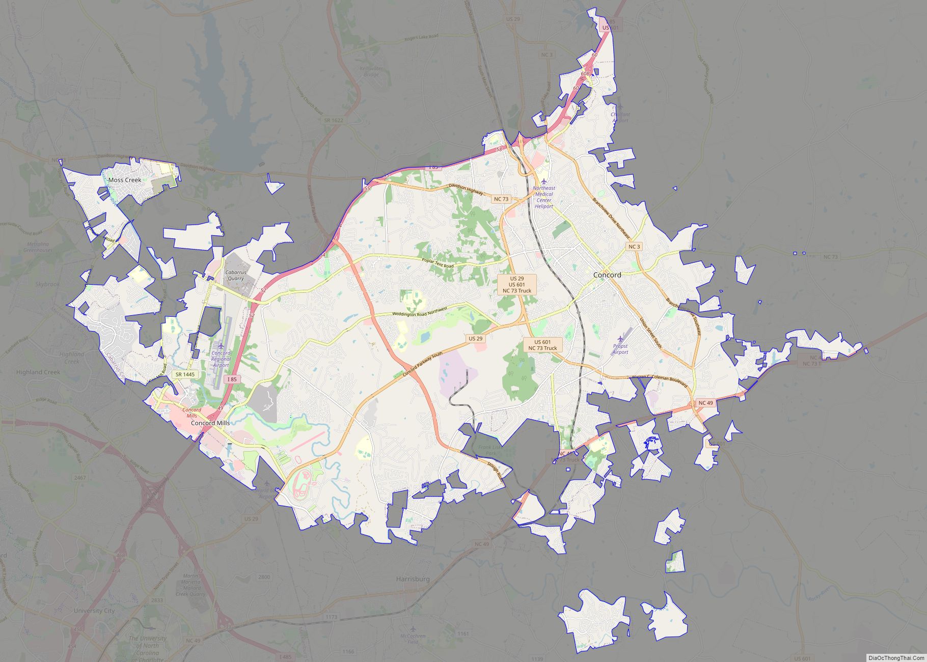
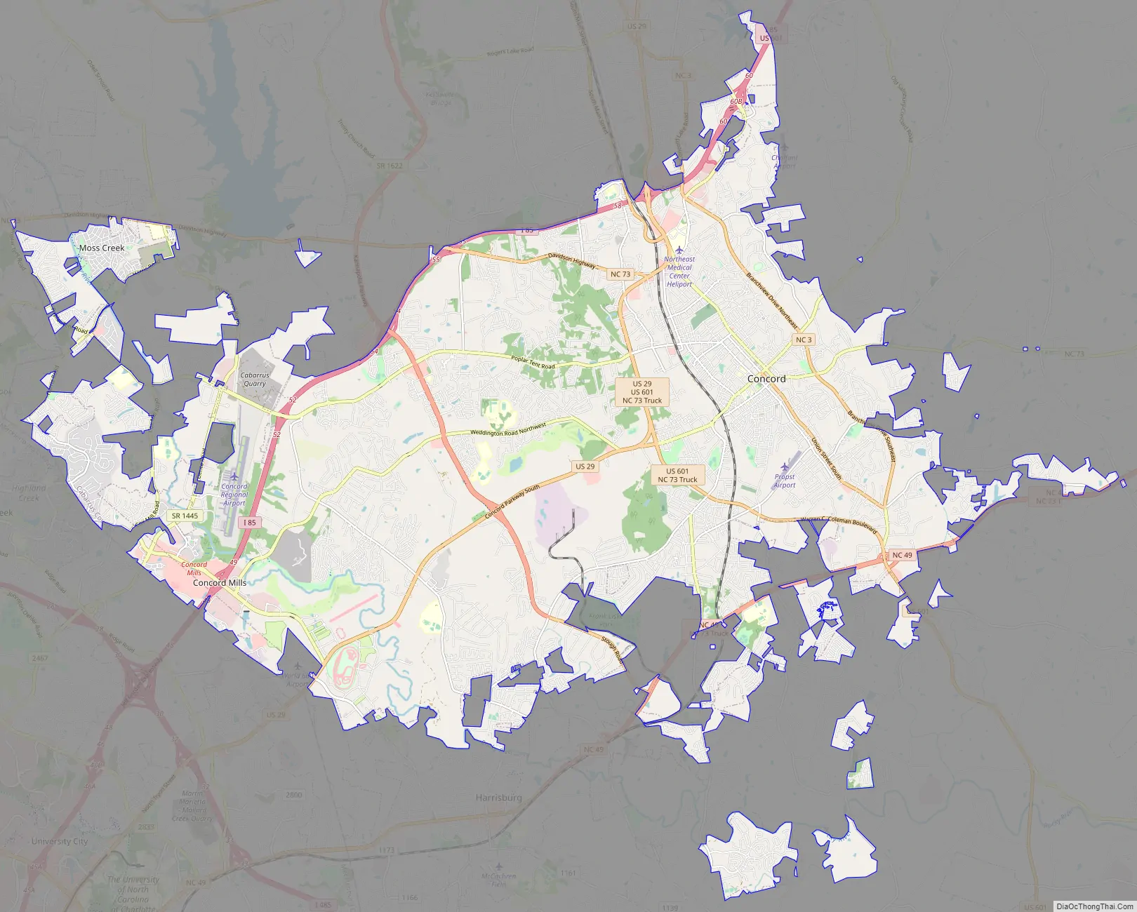
Concord Road Map
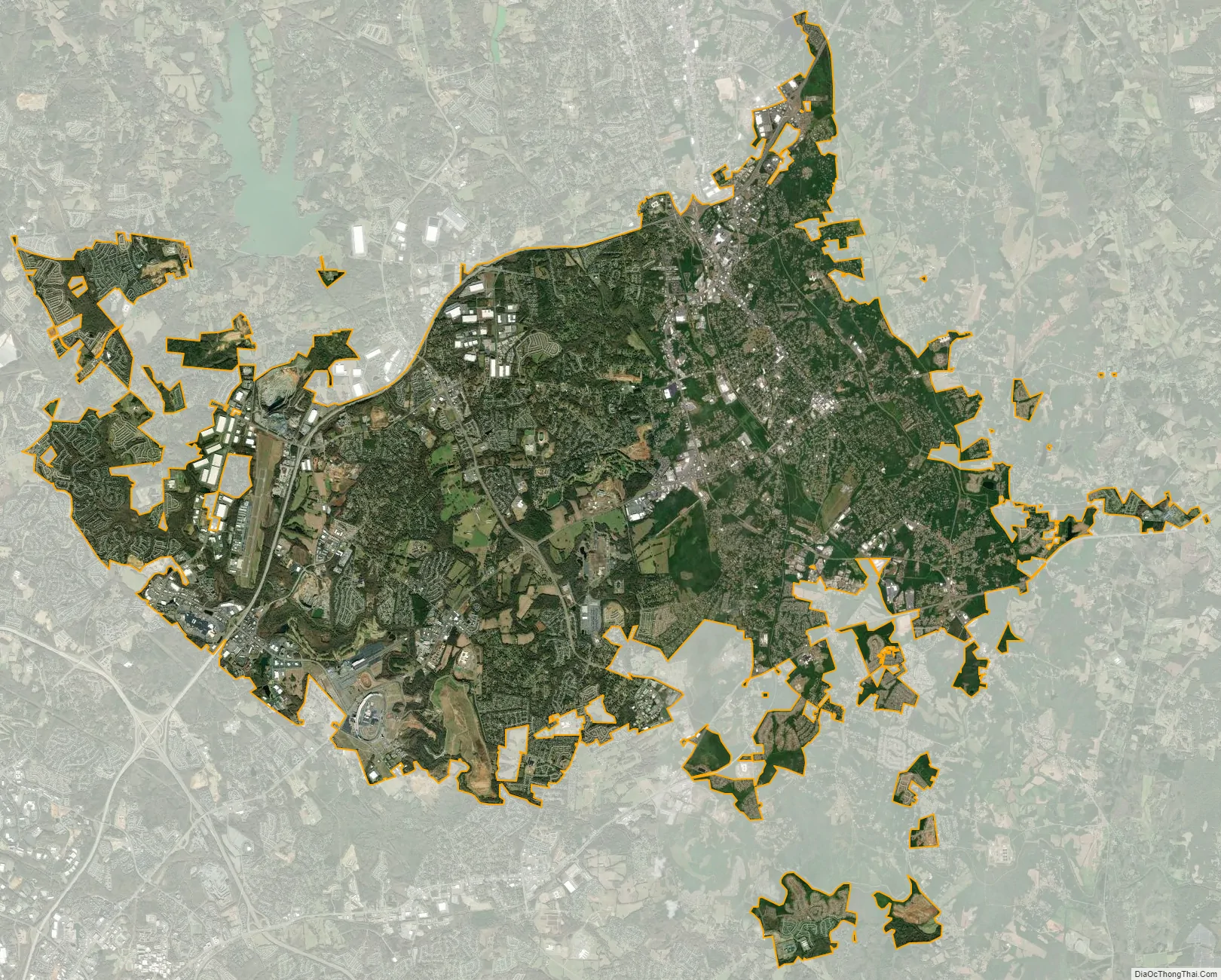
Concord city Satellite Map
Geography
Concord is located in western Cabarrus County, and has a total area of 60.3 square miles (156.2 km), of which 0.04 square miles (0.1 km), or 0.06%, is water. The elevation at the center of downtown is 706 feet (215 m) above sea level.
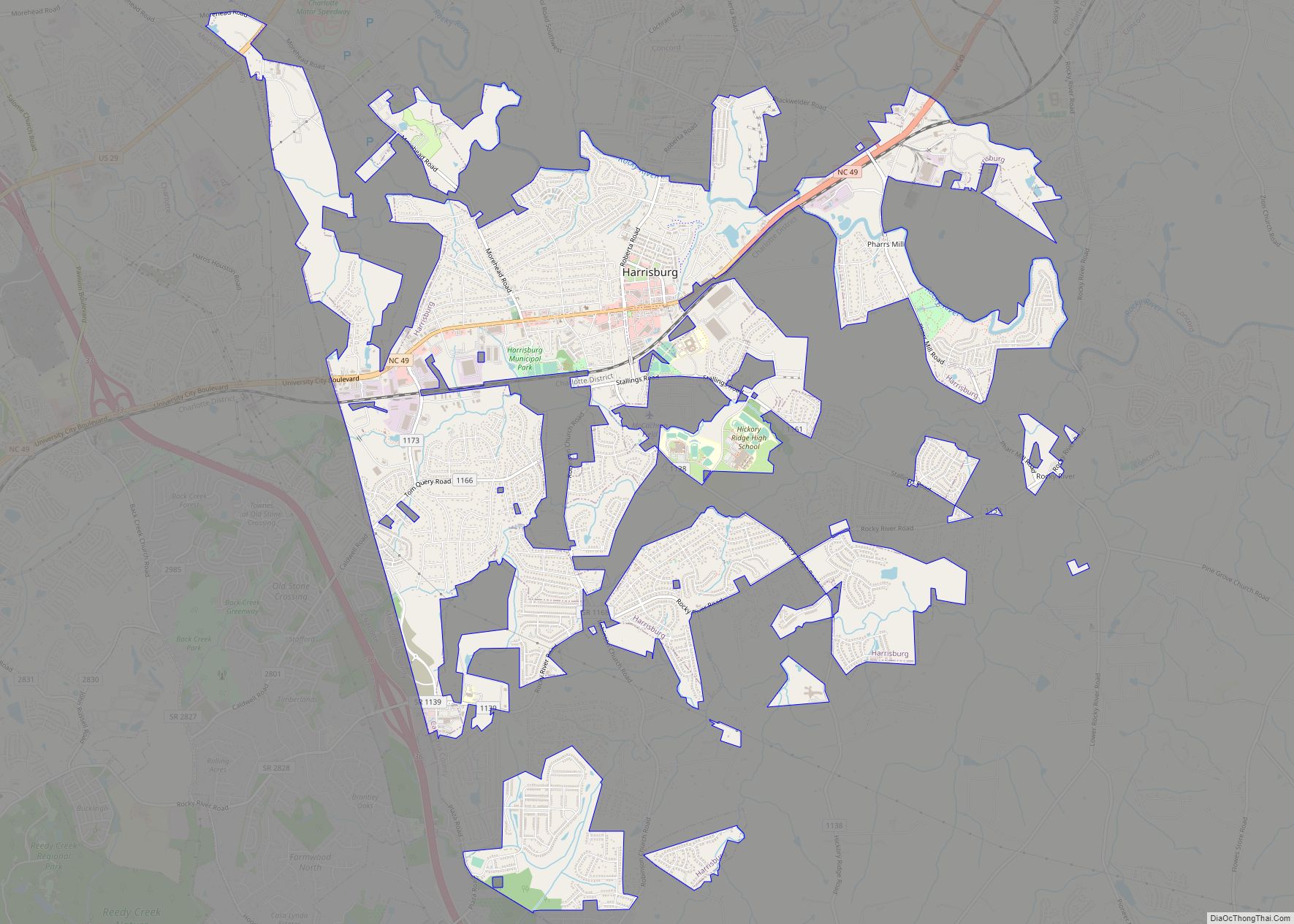
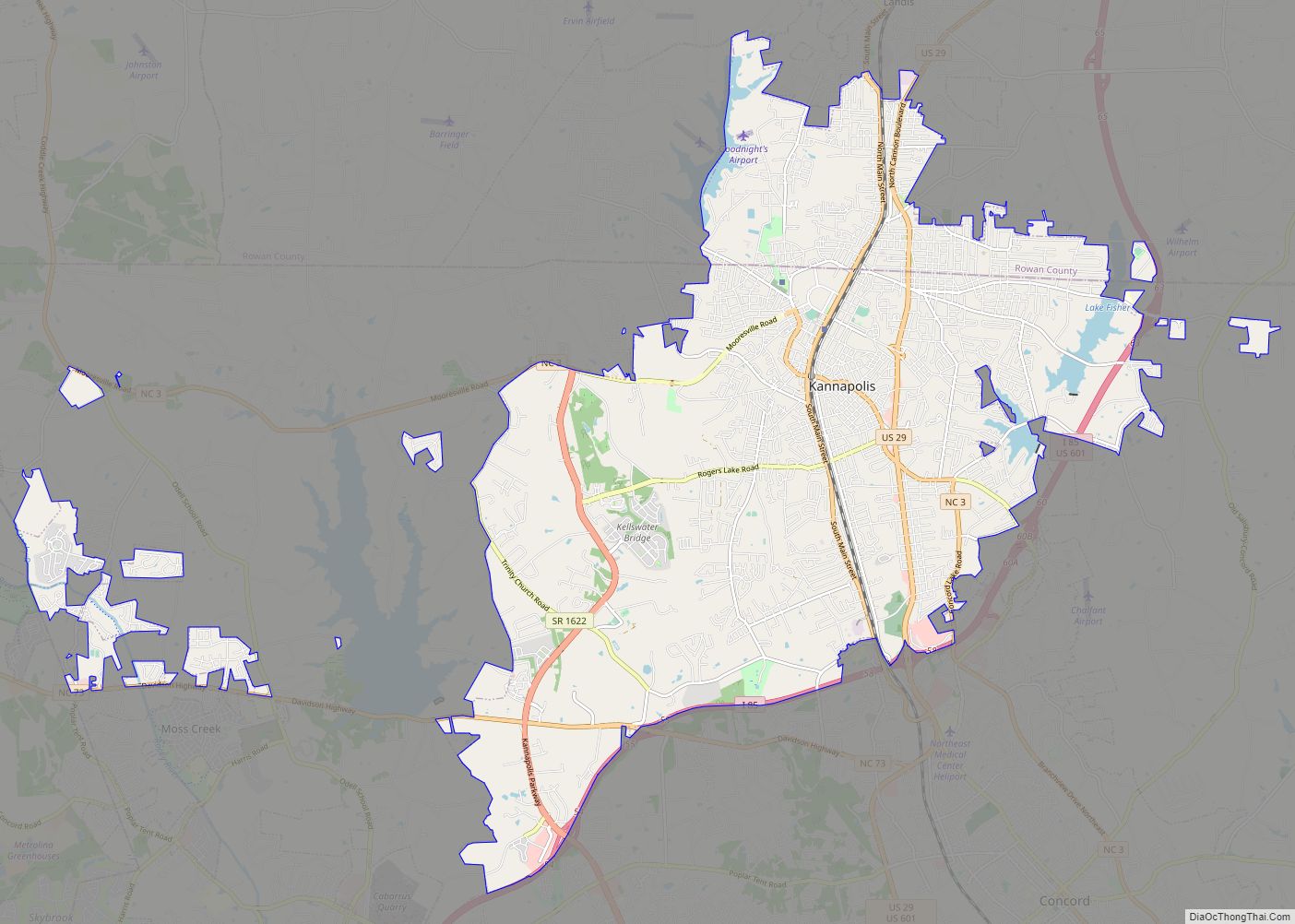
Concord is located northeast of Charlotte, the largest city in North Carolina. Concord is the second-largest city in the Charlotte Metropolitan Area. It is positioned about half-way between Charlotte and Salisbury. Several other smaller cities and towns are located close to Concord, including Kannapolis, China Grove, Landis, Mount Pleasant, Harrisburg, Midland, and Locust.
Climate
Concord has a humid subtropical climate (Köppen climate classification Cfa), with cool to mild winters and hot, humid summers. The city is located in the Piedmont area of North Carolina, which is characterized by rolling hills and forest.
The average high temperature in the winter is 43 °F (6 °C), and the average daily low temperature is 29 °F (−2 °C). In the summer the average temperature is 79 °F (26 °C), and the average daily high temperature is 88 °F (31 °C). It is not unusual for summer daytime temperatures to reach in the mid to upper 90s and occasionally exceed 100 °F (38 °C). It is typical for winter temperatures to fall into the teens at night, but temperatures generally warm to above freezing during the day. Summer months are characterized as having cool to warm nights with very warm to hot temperatures during the day.
The area receives a generous amount of rainfall at 43.8 inches (1,110 mm) per year, with February and April being the two driest months. Rainfall in the winter is lighter but more frequent, whereas rainfall in the summer is heavier but less frequent. Thunderstorms, both light and strong, are common in the spring and summer months. The sun shines 70 percent of the time in summer and 55 percent in winter. The prevailing wind is from the southwest, with the average highest windspeed of 9 miles per hour (14 km/h) in spring.
See also
Map of North Carolina State and its subdivision:- Alamance
- Alexander
- Alleghany
- Anson
- Ashe
- Avery
- Beaufort
- Bertie
- Bladen
- Brunswick
- Buncombe
- Burke
- Cabarrus
- Caldwell
- Camden
- Carteret
- Caswell
- Catawba
- Chatham
- Cherokee
- Chowan
- Clay
- Cleveland
- Columbus
- Craven
- Cumberland
- Currituck
- Dare
- Davidson
- Davie
- Duplin
- Durham
- Edgecombe
- Forsyth
- Franklin
- Gaston
- Gates
- Graham
- Granville
- Greene
- Guilford
- Halifax
- Harnett
- Haywood
- Henderson
- Hertford
- Hoke
- Hyde
- Iredell
- Jackson
- Johnston
- Jones
- Lee
- Lenoir
- Lincoln
- Macon
- Madison
- Martin
- McDowell
- Mecklenburg
- Mitchell
- Montgomery
- Moore
- Nash
- New Hanover
- Northampton
- Onslow
- Orange
- Pamlico
- Pasquotank
- Pender
- Perquimans
- Person
- Pitt
- Polk
- Randolph
- Richmond
- Robeson
- Rockingham
- Rowan
- Rutherford
- Sampson
- Scotland
- Stanly
- Stokes
- Surry
- Swain
- Transylvania
- Tyrrell
- Union
- Vance
- Wake
- Warren
- Washington
- Watauga
- Wayne
- Wilkes
- Wilson
- Yadkin
- Yancey
- Alabama
- Alaska
- Arizona
- Arkansas
- California
- Colorado
- Connecticut
- Delaware
- District of Columbia
- Florida
- Georgia
- Hawaii
- Idaho
- Illinois
- Indiana
- Iowa
- Kansas
- Kentucky
- Louisiana
- Maine
- Maryland
- Massachusetts
- Michigan
- Minnesota
- Mississippi
- Missouri
- Montana
- Nebraska
- Nevada
- New Hampshire
- New Jersey
- New Mexico
- New York
- North Carolina
- North Dakota
- Ohio
- Oklahoma
- Oregon
- Pennsylvania
- Rhode Island
- South Carolina
- South Dakota
- Tennessee
- Texas
- Utah
- Vermont
- Virginia
- Washington
- West Virginia
- Wisconsin
- Wyoming