Stoddard County is a county located in the southeastern portion of the U.S. state of Missouri. As of the 2020 census, the population was 28,672. The county seat is Bloomfield. The county was officially organized on January 2, 1835, and is named for Amos Stoddard, the first American commandant (an early term for “governor”) of Upper Louisiana.
| Name: | Stoddard County |
|---|---|
| FIPS code: | 29-207 |
| State: | Missouri |
| Founded: | January 2, 1835 |
| Named for: | Amos Stoddard |
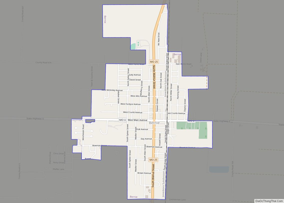
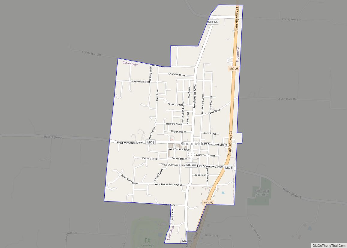
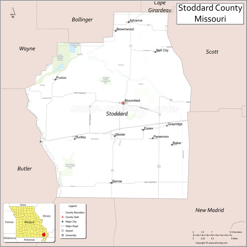
| Seat: | Bloomfield |
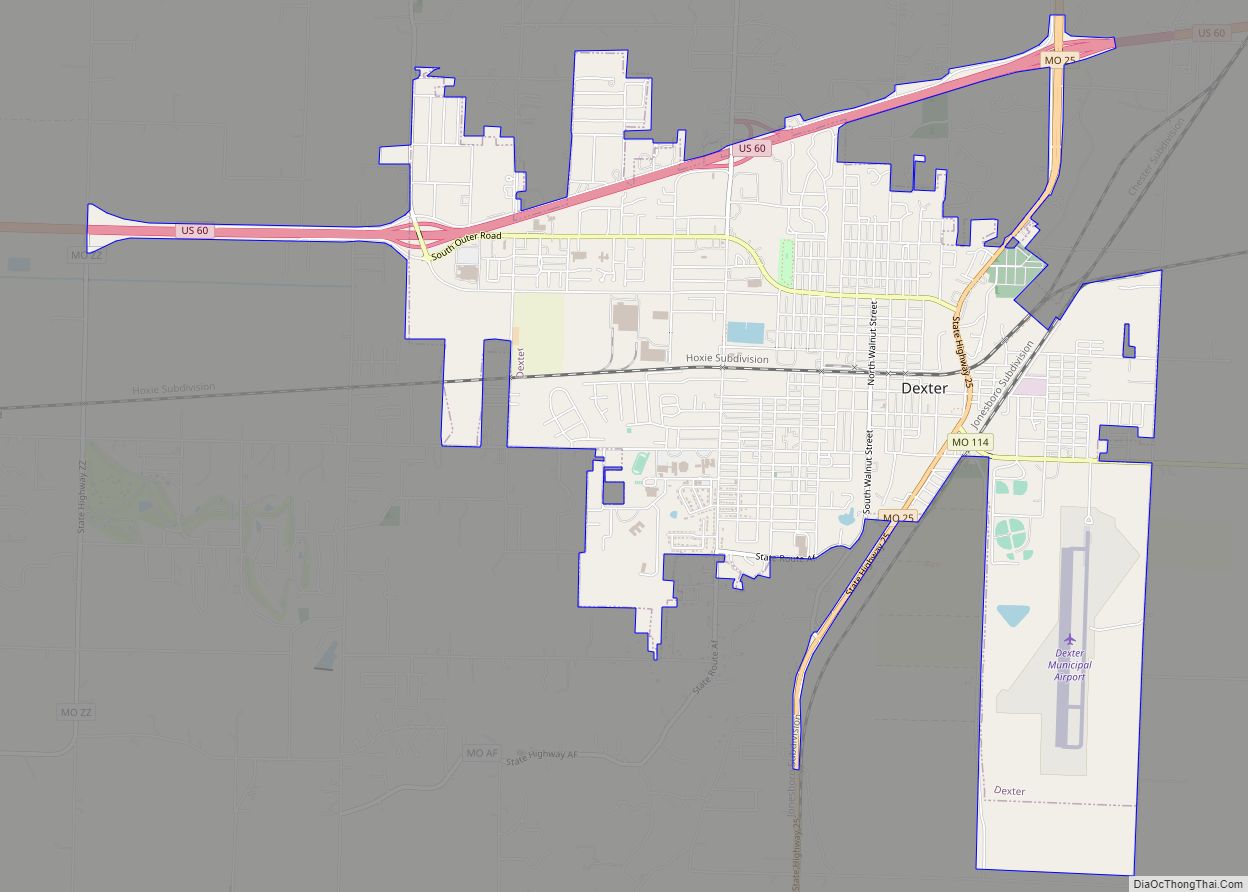
| Largest city: | Dexter |
| Total Area: | 829 sq mi (2,150 km²) |
| Land Area: | 823 sq mi (2,130 km²) |
| Total Population: | 28,672 |
| Population Density: | 35/sq mi (13/km²) |
| Time zone: | UTC−6 (Central) |
| Summer Time Zone (DST): | UTC−5 (CDT) |
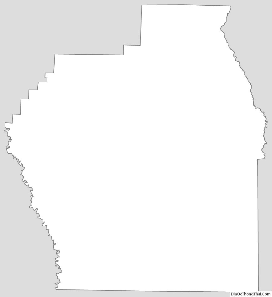
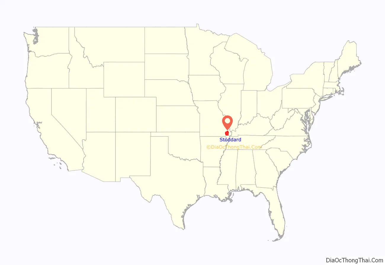
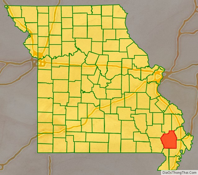
Stoddard County location map. Where is Stoddard County?
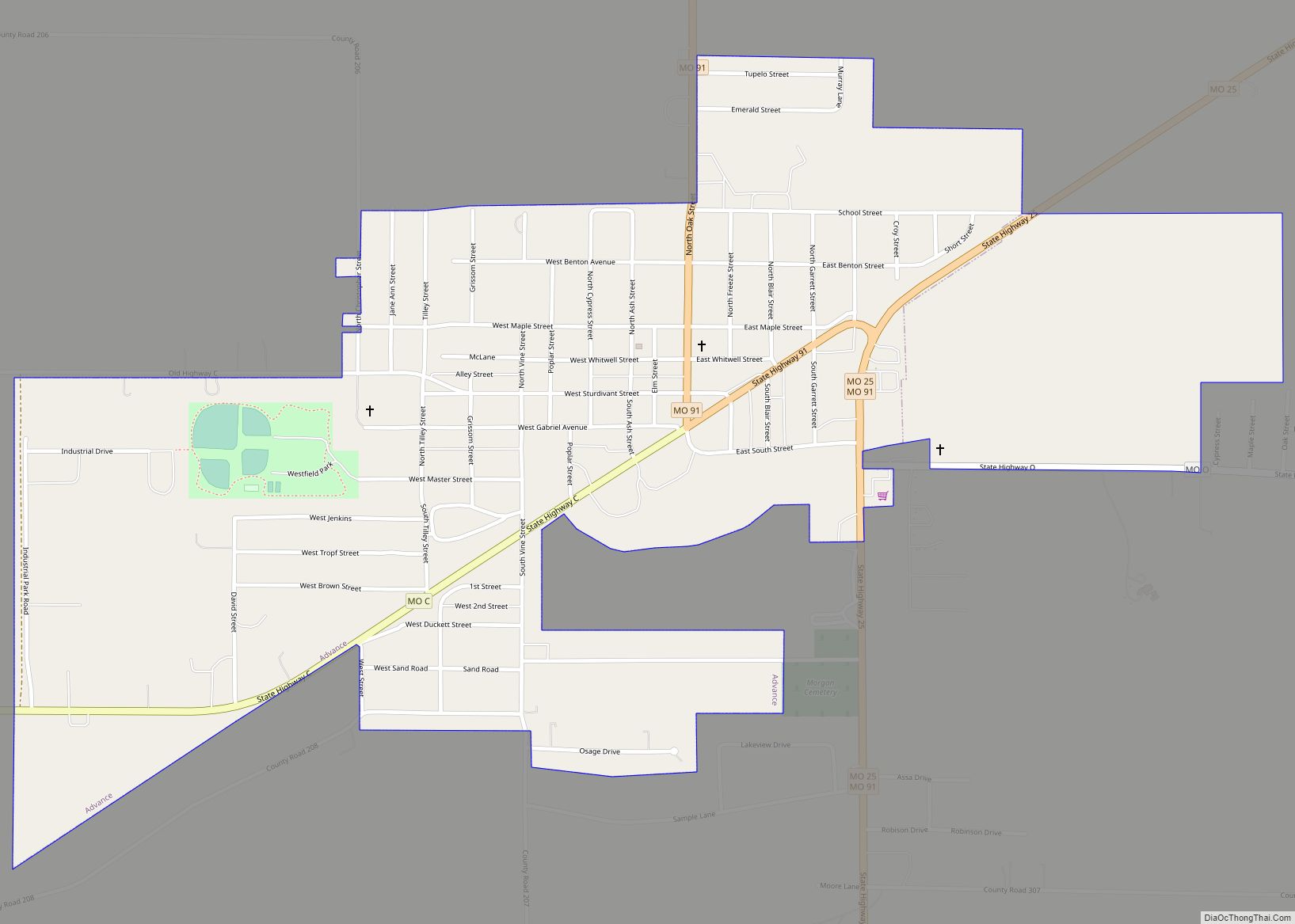
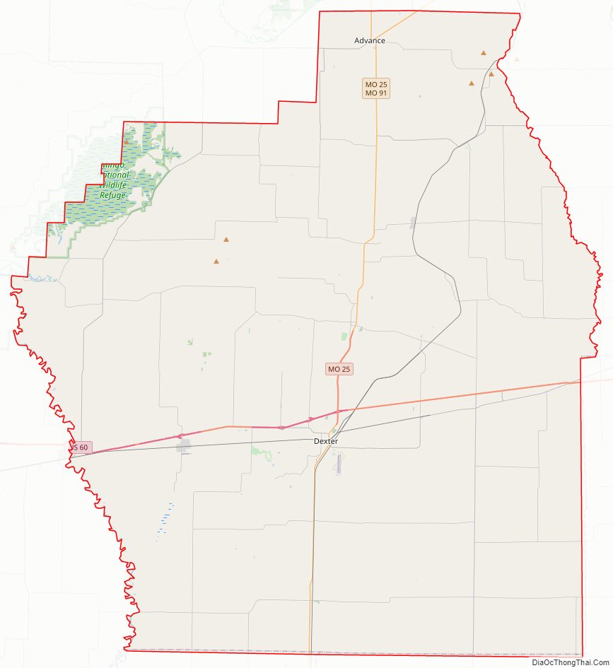
Stoddard County Road Map
Geography
According to the U.S. Census Bureau, the county has a total area of 829 square miles (2,150 km), of which 823 square miles (2,130 km) is land and 5.8 square miles (15 km) (0.7%) is water.
Adjacent counties
- Bollinger County (north)
- Cape Girardeau County (northeast)
- Scott County (northeast)
- New Madrid County (southeast)
- Dunklin County (south)
- Butler County (southwest)
- Wayne County (northwest)
Major highways
- Future Interstate 57
- U.S. Route 60
- Route 25
- Route 51
- Route 153
National protected area
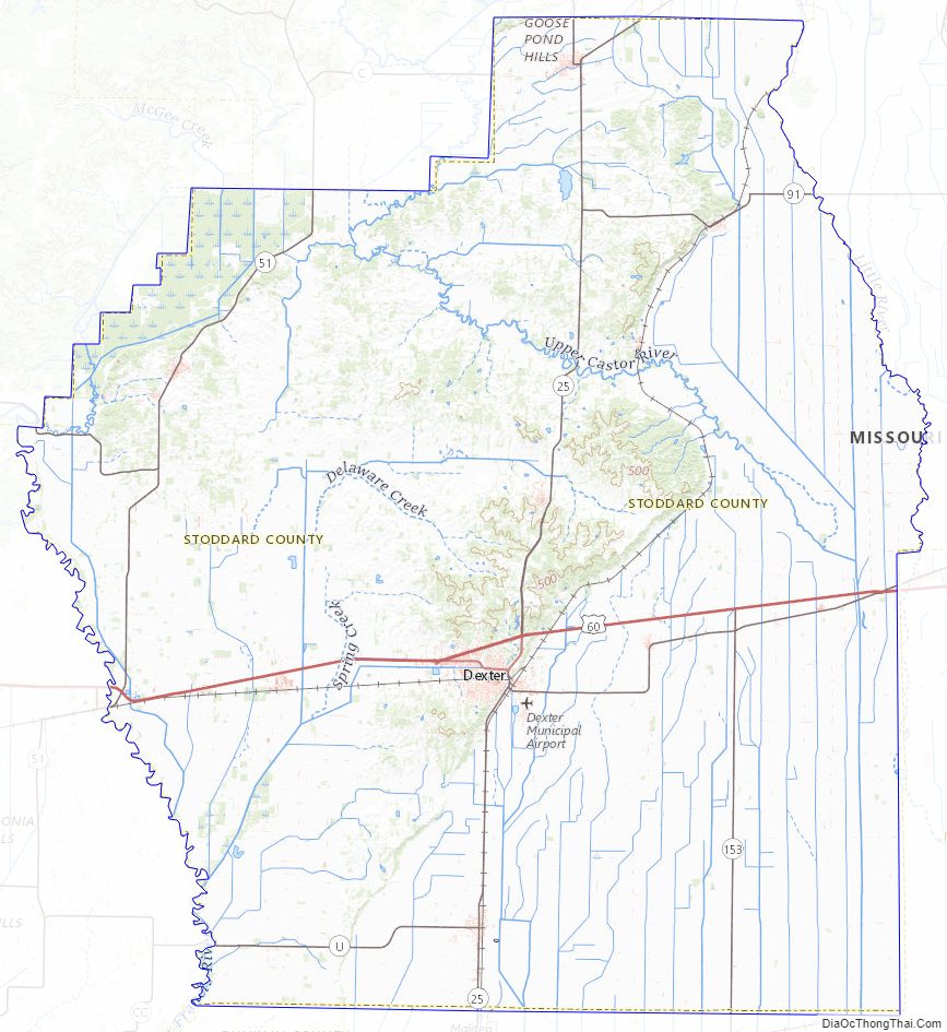
- Mingo National Wildlife Refuge (part)
Stoddard County Topographic Map
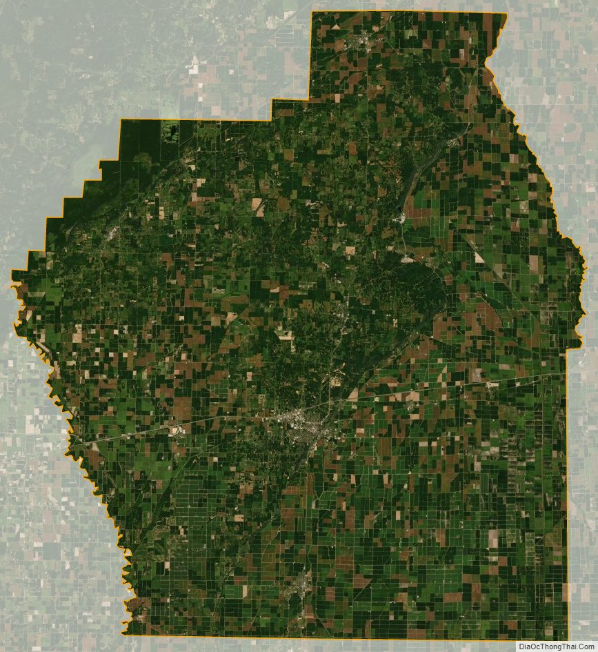
Stoddard County Satellite Map
Stoddard County Outline Map