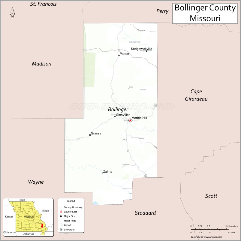
Bollinger County is a county located in the southeastern part of the U.S. state of Missouri. As of the 2020 census, the county’s population was 10,567. The county seat is Marble Hill. The county was officially organized in 1851.
Bollinger County is part of the Cape Girardeau, MO-IL Metropolitan Statistical Area. The county is the home of the Missouri dinosaur and Blue Pond, the deepest natural pond in Missouri, is located in the southern portion of the county.
| Name: | Bollinger County |
|---|---|
| FIPS code: | 29-017 |
| State: | Missouri |
| Founded: | March 1, 1851 |
| Named for: | George Frederick Bollinger |
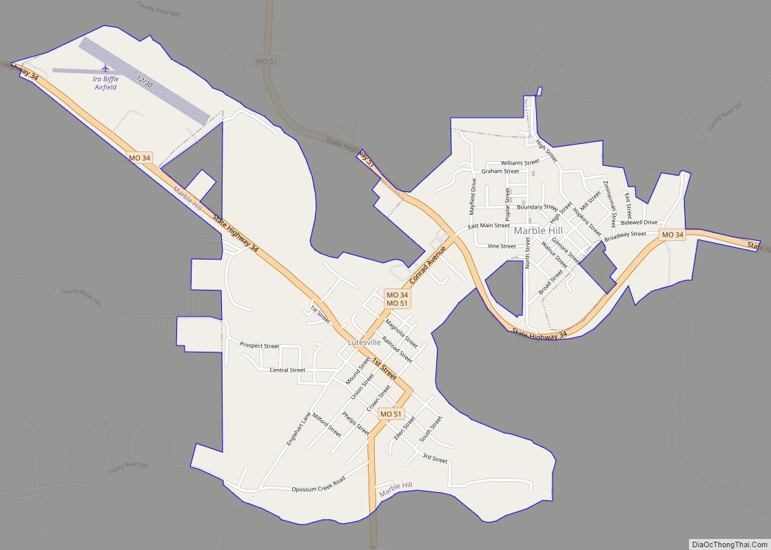
| Seat: | Marble Hill |
| Largest city: | Marble Hill |
| Total Area: | 621 sq mi (1,610 km²) |
| Land Area: | 618 sq mi (1,600 km²) |
| Total Population: | 10,567 |
| Population Density: | 17/sq mi (6.6/km²) |
| Time zone: | UTC−6 (Central) |
| Summer Time Zone (DST): | UTC−5 (CDT) |
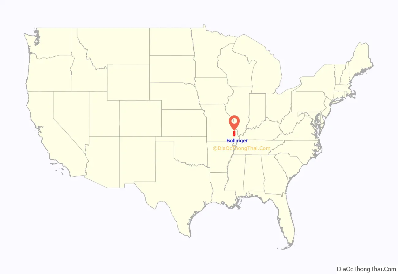
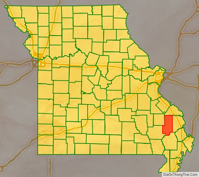
Bollinger County location map. Where is Bollinger County?
History
The “Missouri Dinosaur,” a hadrosaur (duck-billed), was discovered at a dig near Glen Allen. It has produced bones from different dinosaurs and aquatic species.
The county was named after George Frederick Bollinger, who persuaded 20 other families to leave North Carolina in the fall of 1799 and settle in a region immediately west of what is now Cape Girardeau, Missouri. To acquire the land, Bollinger first had to sign off a document asserting that he and his fellow settlers were all Roman Catholics. In reality, most of the group were members of the German Reformed Church and none were actually Catholic. However, Don Louis Lorimier, the Spanish Land Commandant of Cape Girardeau, had been impressed by Bollinger on an earlier visit and decided to bend the rules for him and his fellow settlers.
Making the journey from North Carolina with Bollinger were his brothers John, Daniel, and Mathias Bollinger and two nephews, Mann Henry Bollinger and William Bollinger. Several friends also joined the expedition including brothers George and Peter Grount (Grounds) along with Peter’s young son Daniel Grount, brothers Peter and Conrad Statler, Joseph Neyswanger, Peter Crytes, Jacob Cotner, John and Isaac Miller, Frederick Limbaugh, Leonard Welker and Frederick Slinkard. Also with him family of Johannes Caspar Shell; Michael, Caspar and Benjamin Shell. Benjamin Shell later married George’s sister Elizabeth in Cape Girardeau in 1807. All had immigrated with their families from Germany in the early 18th century and later migrated up the Shenandoah Valley into North Carolina by the late 18th century.
Lorimier’s willingness to place German Reformed settlers west of Cape Girardeau is somewhat perplexing given his earlier role in placing a group of Shawnee settlers in that same location. Lorimier had intimate ties to the Shawnee group. His wife, Charlotte Bougainville of Ohio, was half French and half Shawnee. In Pickawillany, Ohio, Lorimier had supported the British and had led Shawnee and Delaware Indian raids against the growing American presence there. His raids had led to an attempt by George Rogers Clark to exterminate the French and Shawnee population at Pickawillany. Lorimier survived and fled to Spanish territory, where he eventually became the Spanish Land Commandant. With Lorimier’s help, Shawnee tribe members from Ohio were granted the right by the Spanish in 1793 to take up residence in the land to the west of Cape Girardeau. By that time the earlier indigenous tribes of that area were no longer present, presumably due to their lack of resistance to European diseases such as measles and smallpox that had been carried in earlier by European traffic and settlement along the Mississippi River. Despite Lorimier’s historically protective role of the Shawnee group, the Shawnee appear to have been viewed with distrust by many of the inhabitants of Cape Girardeau.
The Bollinger-led group of German Reformed families moved into the area in January 1800, crossing their wagons over the Mississippi River after an unusually cold stretch of weather had frozen the surface all the way across. Meanwhile, ownership of the region shifted in quick succession from Spain to France and then in 1803 to the United States via the Louisiana Purchase.
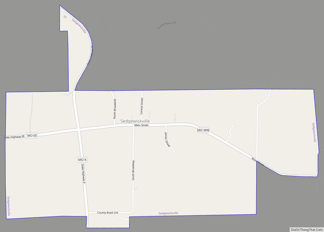
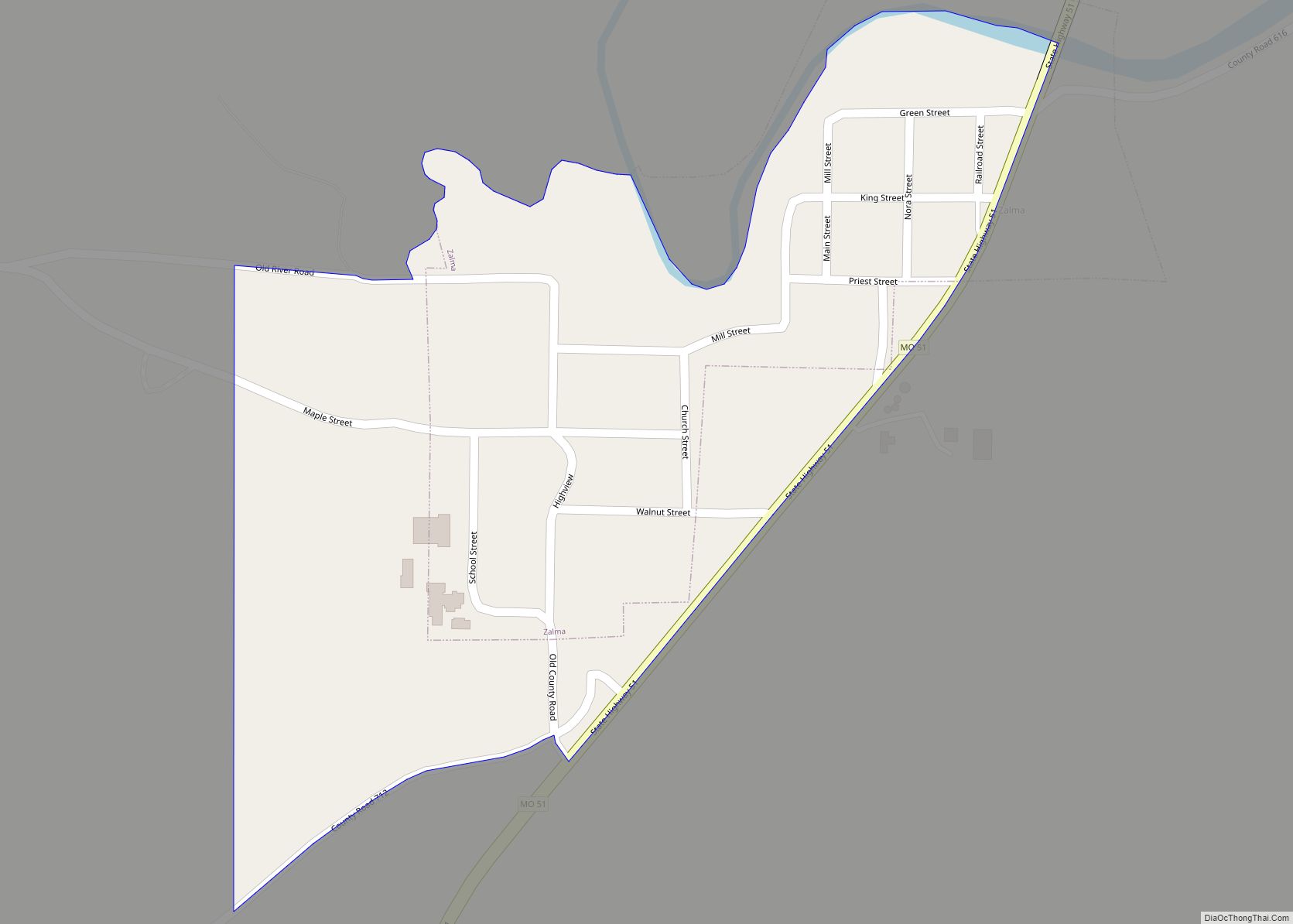
The change in national ownership did not bode well for the earlier Shawnee settlers. In 1825 they were removed permanently when the U.S. government enacted the treaty with the Shawnee in 1825. This treaty, whose first signatory was William Clark of the Lewis and Clark Expedition fame, required that the Shawnee move to what is now known as Shawnee Mission, Kansas, on land that had previously belonged to the Osage tribes. The Osage tribe was the major Native American influence at the time of early European settlement, but by the 1830s most of the Native Americans had been displaced by white settlers. One of the Cherokee Trail of Tears routes passed through Sedgewickville, while another passed through Glennon and Zalma.
The region west of Cape Girardeau was organized as a county in 1851 and was named Bollinger County in honor of George Frederick Bollinger. In the next county to the west, Madison County, the settlement of Fredericktown was also named after George Frederick Bollinger.
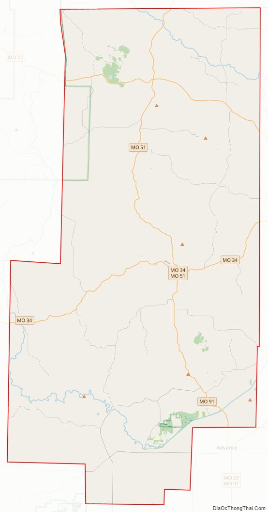
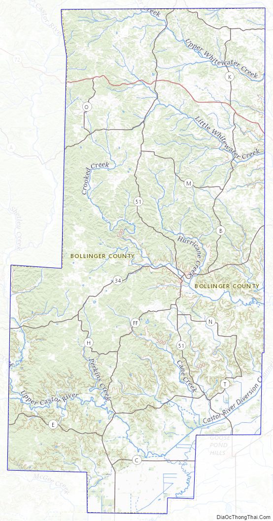
Bollinger County Road Map
Geography
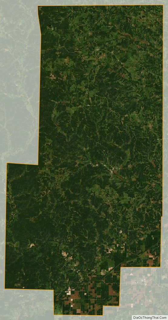
According to the U.S. Census Bureau, the county has a total area of 621 square miles (1,610 km), of which 618 square miles (1,600 km) is land and 3.3 square miles (8.5 km) (0.5%) is water. The county’s terrain ranges from the Mississippi Delta flatlands in the south to the Ozark Hills in the north.
Adjacent counties
- Perry County (north)
- Cape Girardeau County (east)
- Stoddard County (south)
- Wayne County (southwest)
- Madison County (northwest)
Major highways
- Route 34
- Route 51
- Route 72
National protected area
- Mark Twain National Forest (part)
Bollinger County Topographic Map
Bollinger County Satellite Map
Bollinger County Outline Map