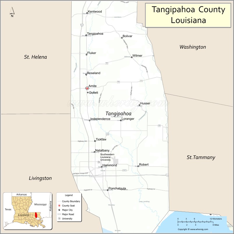
| Name: | Tangipahoa Parish |
|---|---|
| FIPS code: | 22-105 |
| State: | Louisiana |
| Founded: | March 6, 1869 |
| Named for: | Acolapissa word meaning ear of corn or those who gather corn |
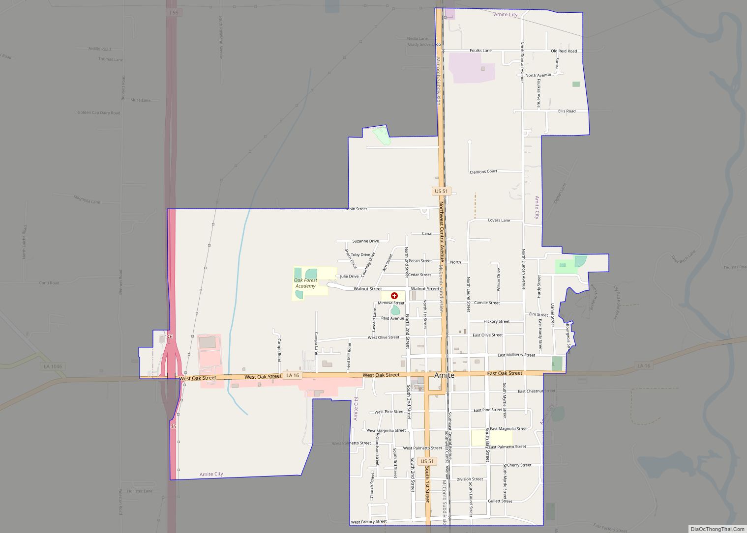
| Seat: | Amite City |
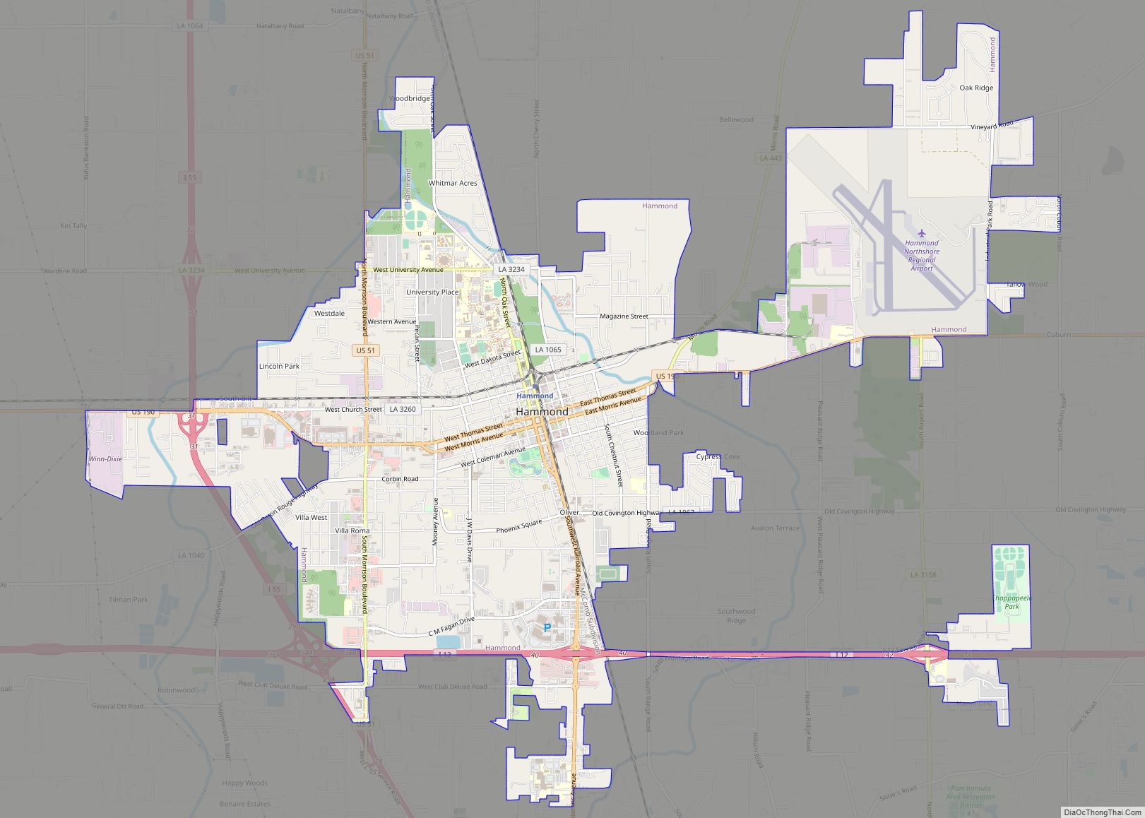
| Largest city: | Hammond |
| Total Area: | 823 sq mi (2,130 km²) |
| Land Area: | 791 sq mi (2,050 km²) |
| Total Population: | 133,157 |
| Population Density: | 160/sq mi (62/km²) |
| Time zone: | UTC−6 (Central) |
| Summer Time Zone (DST): | UTC−5 (CDT) |
| Website: | www.tangipahoa.org |
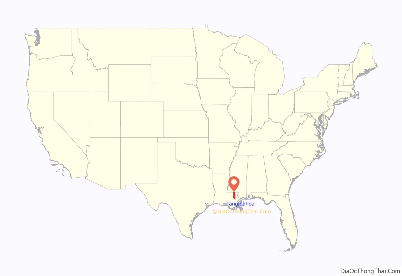
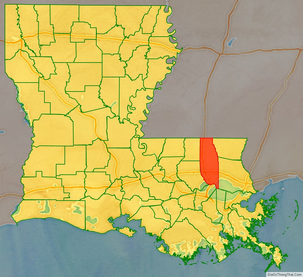
Tangipahoa Parish location map. Where is Tangipahoa Parish?
History
Tangipahoa Parish was created by Louisiana Act 85 on March 6, 1869, during the Reconstruction era. The parish was assembled from territories taken from Livingston Parish, St. Helena Parish, St. Tammany Parish, and Washington Parish. It was named after the Tangipahoa River and the historic Tangipahoa Native American people of this area. Tangipahoa is the youngest parish in the Florida Parishes region of southern Louisiana.
Parts of this area had already been developed for sugar cane plantations when the parish was organized, and that industry depended on numerous African American laborers who were freedmen after the war. Mostly white yeomen farmers occupied areas in the piney woods and resisted planters’ attempts at political dominance. African Americans comprised about one-quarter of the population overall in the Florida Parishes before the war but were prevalent in the plantation areas, where they had been enslaved laborers.
The region developed rapidly during and after Reconstruction. Both physical and political conflicts arose in Tangipahoa Parish among interests related to construction of railroads, exploitation of timber, yeoman farmers in the piney woods keeping truck farms, and the beginning of manufacturing.
Sugar cane had depended on the labor of large gangs of enslaved African Americans before the Civil War. After the war and emancipation, some freedmen stayed to work on the plantations as laborers. Others moved to New Orleans and other cities, seeking different work. This area had rapid development and received a high rate of immigrants and migrants from other areas of the country. Through the turn of the twentieth century, the eastern Florida Parishes had the most white mob violence and highest rate of lynchings (primarily of black men) in southern Louisiana.
Especially after Reconstruction, whites helped black communities with flowers and food. Piney woods whites resisted the planters’ efforts to restore their political power, but imposed their own brutal violence on freedmen.
Tangipahoa Parish became more socially volatile by a “pronounced in-migration” of northerners (from the Midwest) and Sicilian immigrants, coupled with “industrial development along the Illinois Central Railroad, and crippling political factionalism.”
During the period of 1877–1950, a total of 24 blacks were lynched by whites in the parish as a means of racial terrorism and intimidation. This was the sixth highest total of any parish in Louisiana and the highest number of any parish in southern Louisiana. Twenty-two of these murders took place from 1879 to 1919, a time of heightened violence in the state. Unlike some other parishes, Tangipahoa did not have a high rate of legal executions of blacks; the whites operated outside the justice system altogether. Among those lynched and hanged by a mob was Emma Hooper, a black woman who had shot and wounded a constable.
In 1898 the Louisiana state legislature disenfranchised most blacks by raising barriers to voter registration. They effectively excluded blacks from politics for decades, until after passage and enforcement of federal civil rights legislation.
In the first half of the 20th century, many African Americans left Tangipahoa Parish to escape the racial violence and oppression of Jim Crow, moving to industrial cities in the Great Migration. Especially during and after World War II, they moved to the West Coast, where the buildup of the defense industry opened up new jobs. In the 21st century, blacks constitute a minority in the parish.
Timber, agriculture and industry are still important to the parish. It suffered flooding in 1932 and in the early 1980s. In 2016, Tangipahoa was one of many parishes declared a Federal disaster area due to historic flooding from rainfall and storms in both March and August.
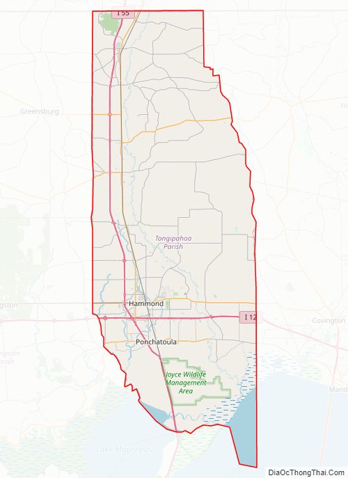
Tangipahoa Parish Road Map
Geography
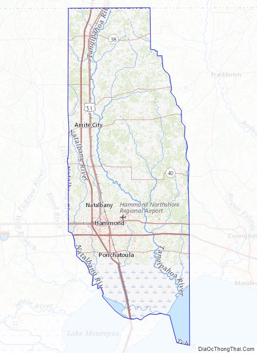
According to the U.S. Census Bureau, the parish has a total area of 823 square miles (2,130 km), of which 791 square miles (2,050 km) is land and 32 square miles (83 km) (3.9%) is water. Lake Pontchartrain lies on the southeast side of the parish.
Most of the parish south of Ponchatoula consists of Holocene coastal swamp and marsh—gray-to-black clays of high organic content and thick peat beds underlying freshwater marsh and swamp.
Tangipahoa Parish Topographic Map
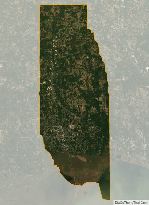
Tangipahoa Parish Satellite Map
Tangipahoa Parish Outline Map