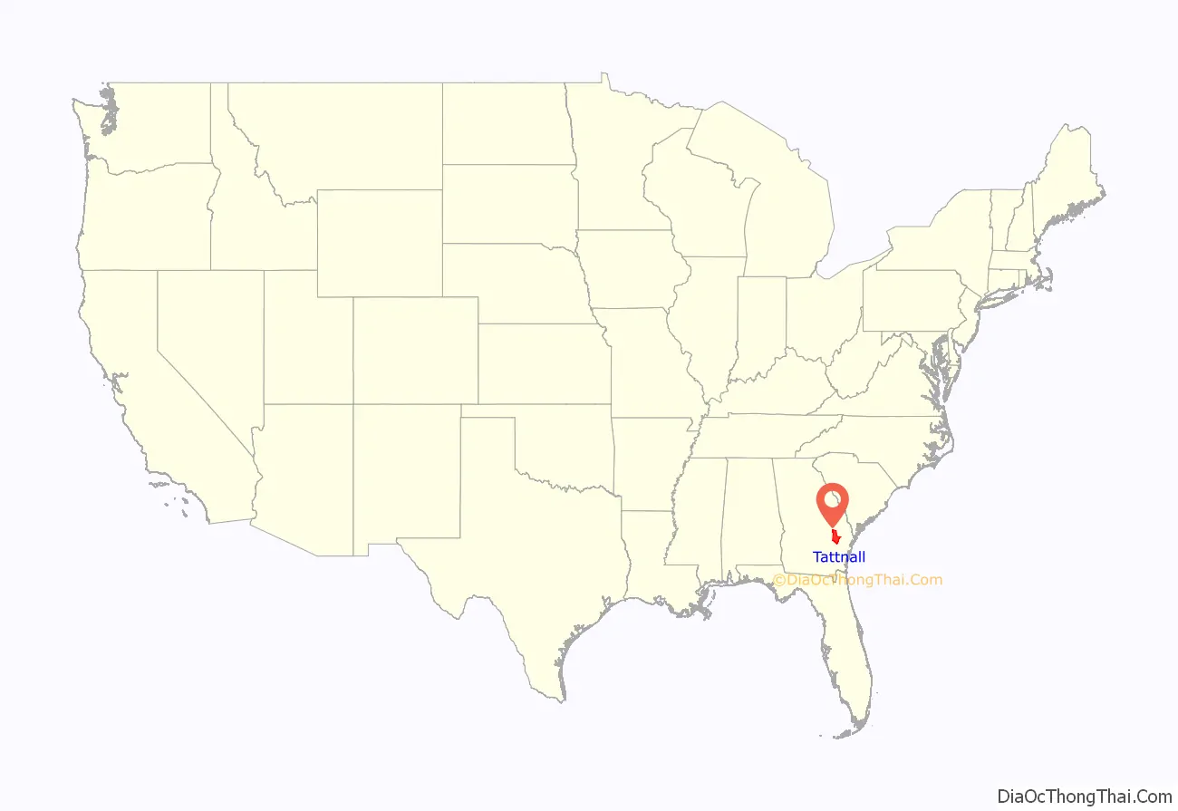
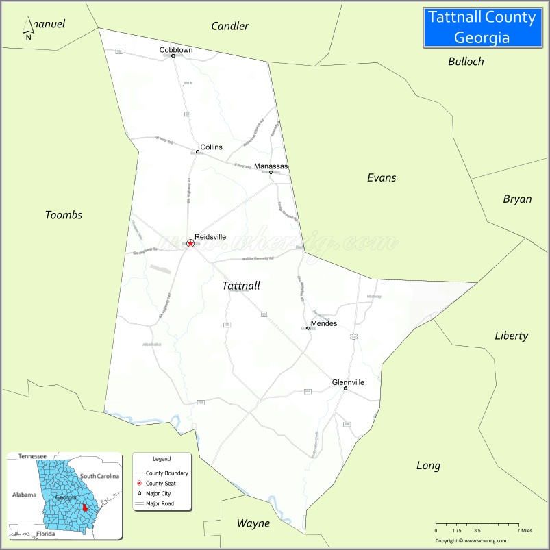
Tattnall County is a county located in the southeast portion of the U.S. state of Georgia. As of the 2020 census, the population was 22,842. The county seat is Reidsville. Tattnall County was created on December 5, 1801, from part of Montgomery County, Georgia by the Georgia General Assembly. The county was named after Josiah Tattnall (1762–1803), a planter, soldier and politician. It is located within the Magnolia Midlands, a part of the Historic South region.
| Name: | Tattnall County |
|---|---|
| FIPS code: | 13-267 |
| State: | Georgia |
| Founded: | 1801 |
| Named for: | Josiah Tattnall |
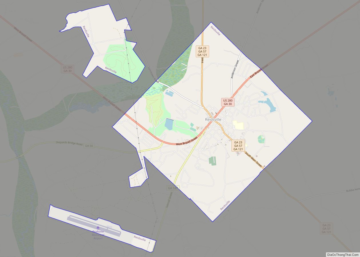
| Seat: | Reidsville |
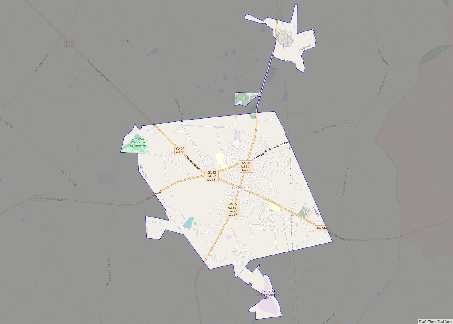
| Largest city: | Glennville |
| Total Area: | 488 sq mi (1,260 km²) |
| Land Area: | 479 sq mi (1,240 km²) |
| Total Population: | 22,842 |
| Population Density: | 48/sq mi (19/km²) |
| Time zone: | UTC−5 (Eastern) |
| Summer Time Zone (DST): | UTC−4 (EDT) |
| Website: | www.tattnall.com |
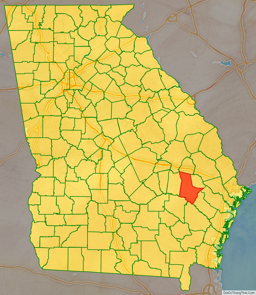
Tattnall County location map. Where is Tattnall County?
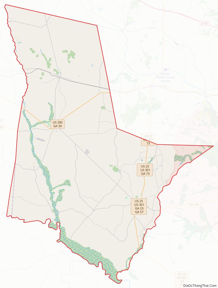
Tattnall County Road Map
Geography
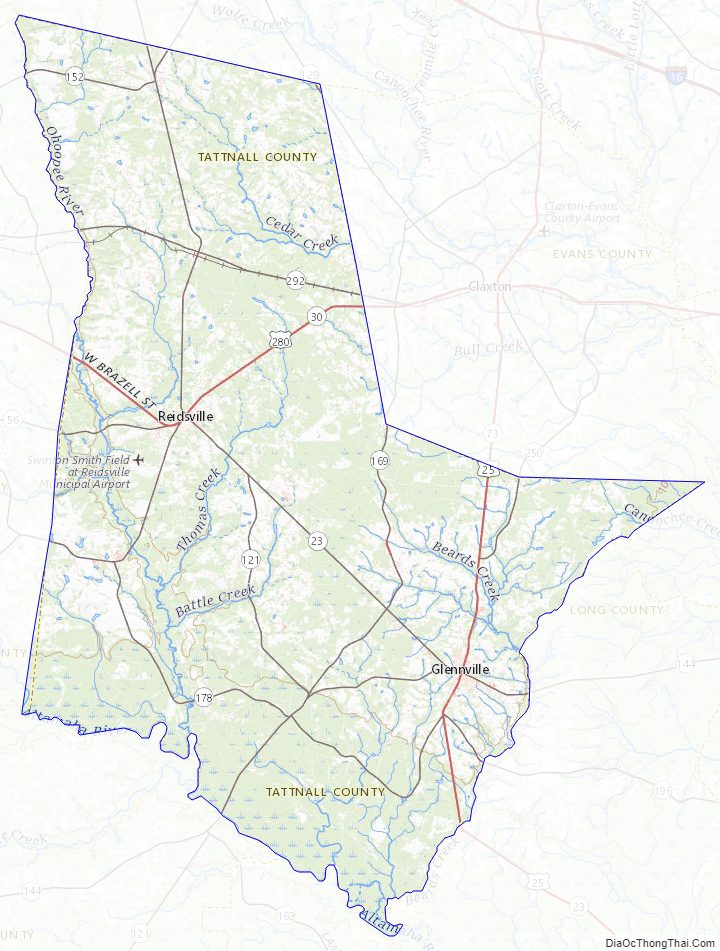
According to the U.S. Census Bureau, the county has a total area of 488 square miles (1,260 km), of which 479 square miles (1,240 km) is land and 8.9 square miles (23 km) (1.8%) is water.
Most of the western portion of Tattnall County, defined by a line running from Cobbtown south to Collins, then east to a point halfway to Bellville, and then south and southwest to the middle of the county’s southern border, is located in the Ohoopee River sub-basin of the Altamaha River basin. The northeastern portion of the county, from Cobbtown to east of Reidsville, is located in the Canoochee River sub-basin of the Ogeechee River basin. The southeastern and southwestern parts of Tattnall County are located in the Altamaha River sub-basin of the larger river basin by the same name.
Major highways
- U.S. Route 25/U.S. Route 301
- U.S. Route 280
- State Route 23
- State Route 30
- State Route 56
- State Route 57
- State Route 73
- State Route 121
- State Route 129
- State Route 144
- State Route 147
- State Route 152
- State Route 169
- State Route 178
- State Route 292
Adjacent counties
- Candler County – north
- Evans County – northeast
- Liberty County – east
- Long County – southeast
- Wayne County – south
- Appling County – southwest
- Toombs County – west
- Emanuel County – northwest
Tattnall County Topographic Map
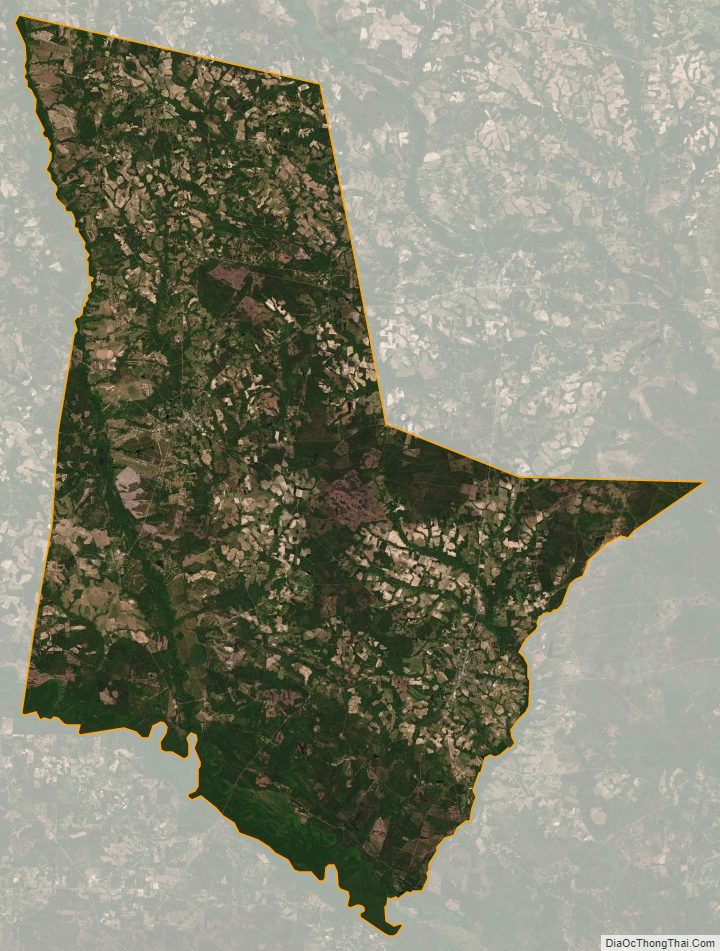
Tattnall County Satellite Map
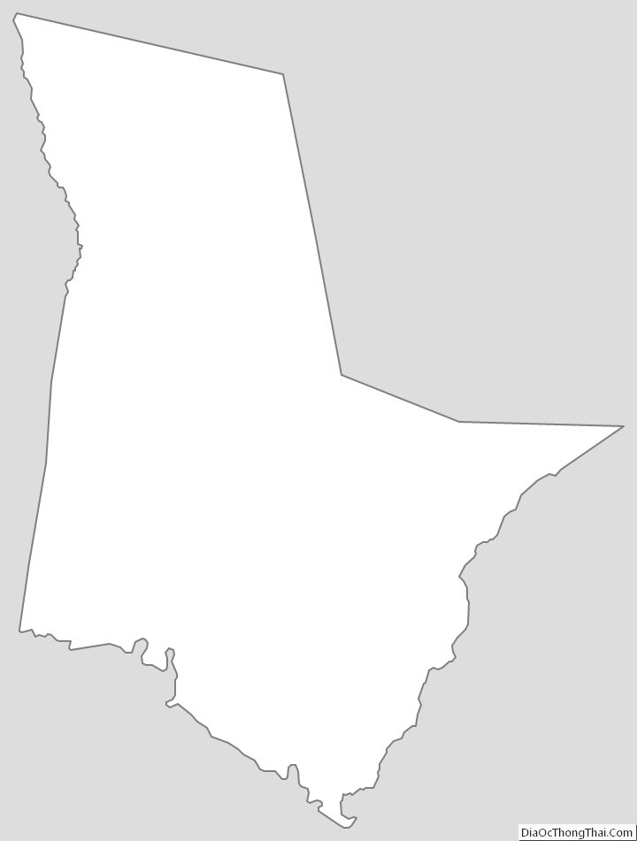
Tattnall County Outline Map