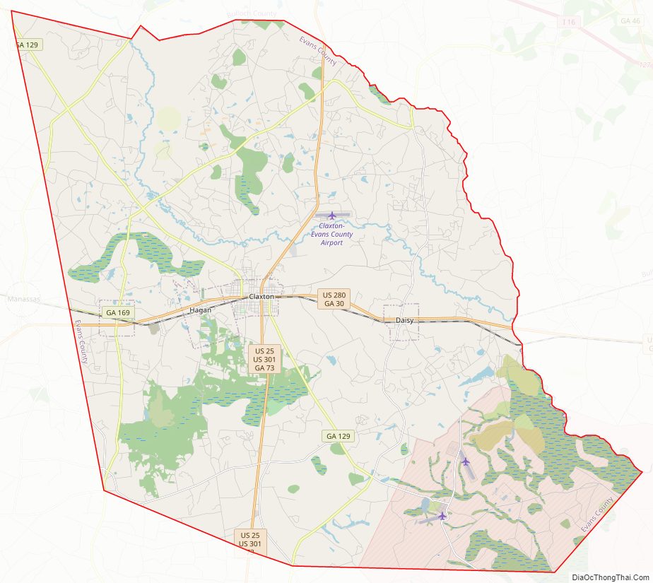
Evans County is a county in the southeastern portion of the U.S. state of Georgia. As of the 2020 census, the population was 10,774. The county seat is Claxton. A bill creating the county was passed in the Georgia General Assembly on August 11, 1914, and later, on November 3, 1914, an amendment was ratified by a vote of the people which formally created the county.
Evans County is located in an area known as the Magnolia Midlands within the Historic South region. The current Evans County Courthouse was created in 1923 and, in 1940, the people of Evans County elected their first female sheriff. Later, in the 1950s and 1960s, new growth came to the county with the building of Evans Memorial Hospital and the Claxton-Evans County Airport. In 2010, the population was 11,000; however, the 2012 Census Estimate showed a population of 10,689.
The county sits firmly within Georgia’s coastal plain region and has predominantly sedimentary rock and red and yellow clays. The Canoochee River is the major body of water flowing through the county.
Manufacturing, educational, health and social services make up much of Evans County’s diverse economy. Major employers in the county include Camellia Health and Rehabilitation, Claxton Poultry Company, Georgia Department of Corrections, Pinewood Christian Academy, and Valmont Newmark. The county is ranked 64 out of 71 Tier 1 counties with an 8% sales tax. Businesses in the county are 100% exempt on all classes of certain business inventory from property taxes.
| Name: | Evans County |
|---|---|
| FIPS code: | 13-109 |
| State: | Georgia |
| Founded: | 1914 |
| Named for: | Clement A. Evans |
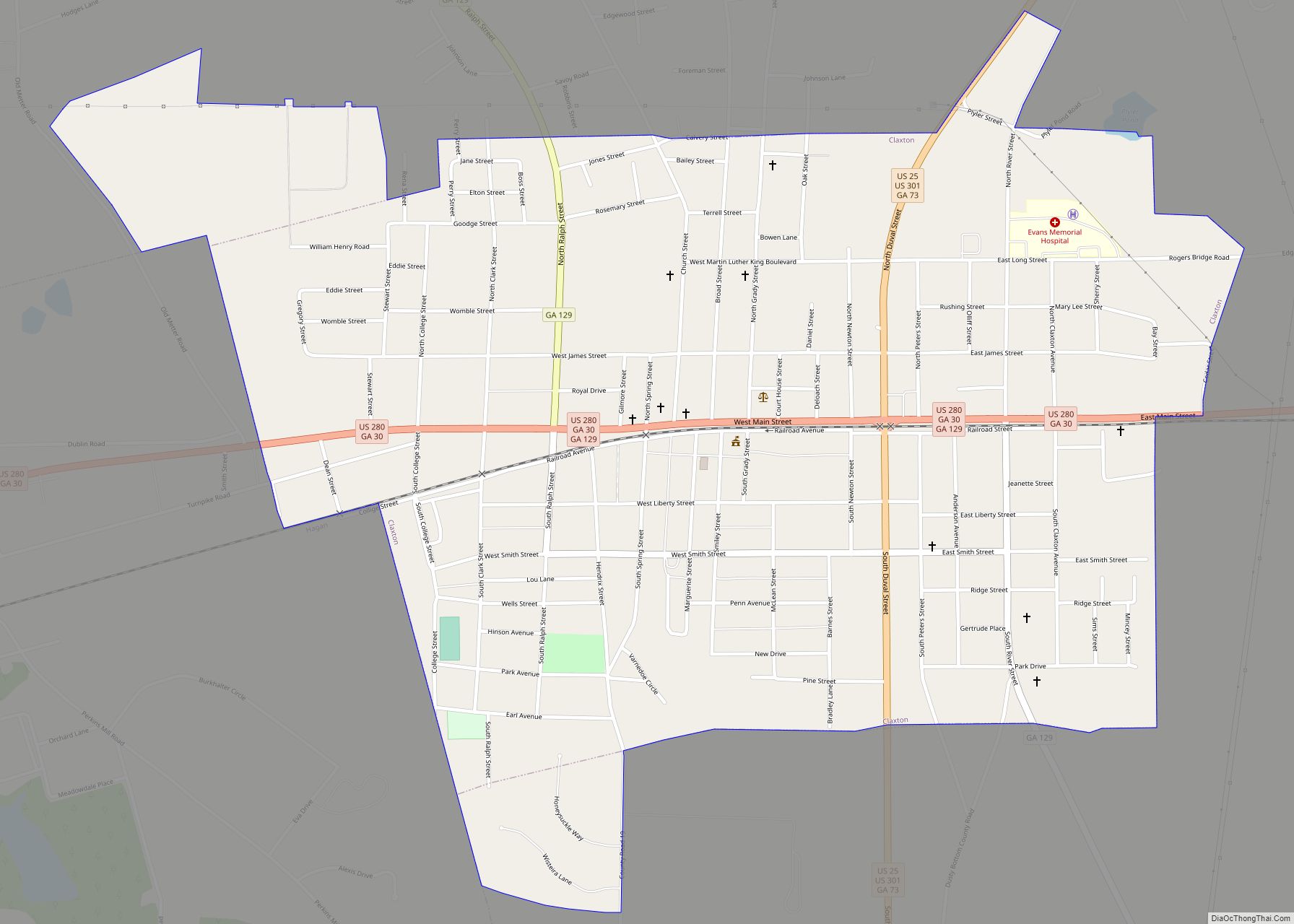
| Seat: | Claxton |
| Largest city: | Claxton |
| Total Area: | 187 sq mi (480 km²) |
| Land Area: | 183 sq mi (470 km²) |
| Total Population: | 10,774 |
| Population Density: | 59/sq mi (23/km²) |
| Time zone: | UTC−5 (Eastern) |
| Summer Time Zone (DST): | UTC−4 (EDT) |
| Website: | www.evanscounty.org |
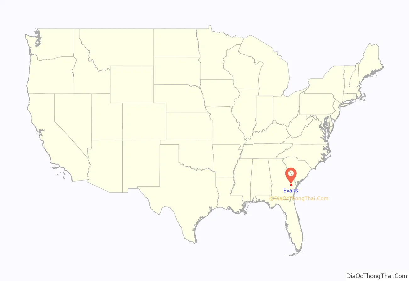
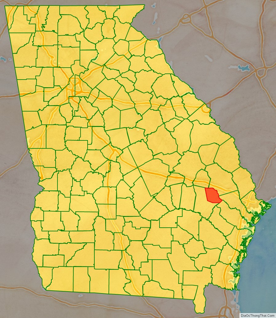
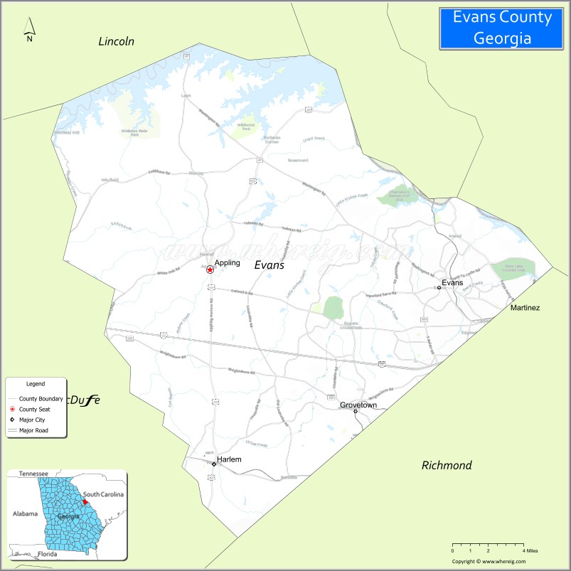
Evans County location map. Where is Evans County?
History
On August 11, 1914, the Georgia General Assembly proposed a constitutional amendment to create Evans County from Bulloch and Tattnall counties. Georgia voters ratified the proposed amendment by a vote of 36,689 to 9,789 on November 3, 1914, which marks the official date of Evans County’s creation. The county was named in honor of Clement A. Evans. Evans was a state senator from Stewart County, Georgia, a Brigadier General in the Confederate States Army, a Methodist minister, an historian and an author.
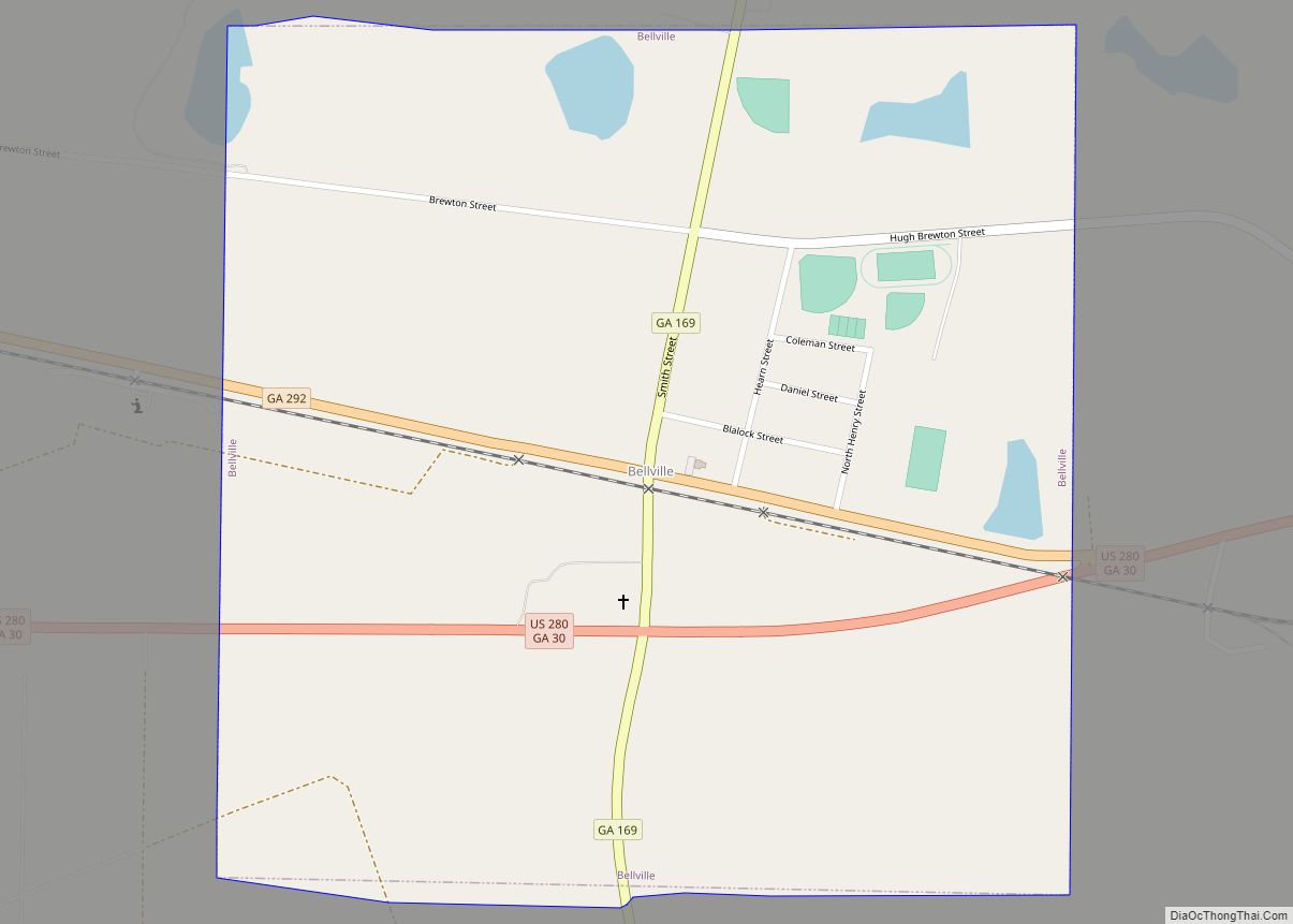
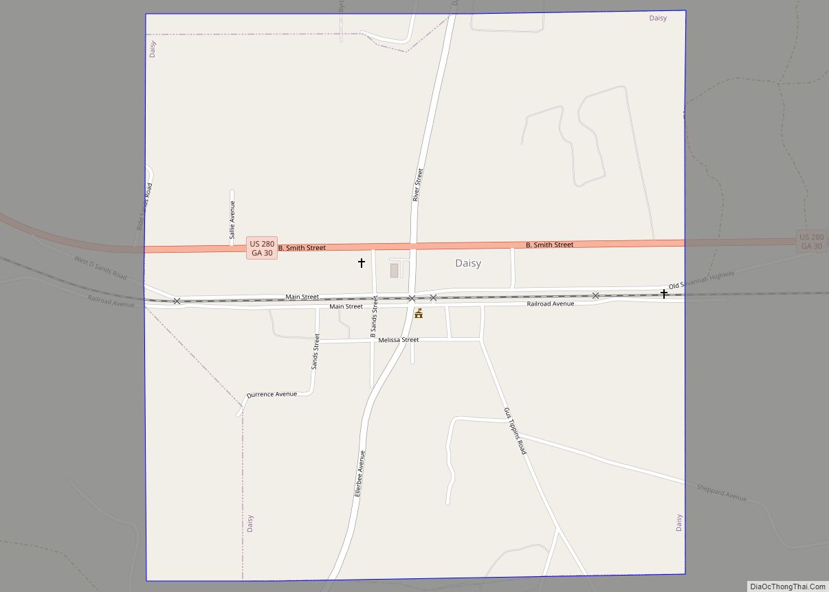
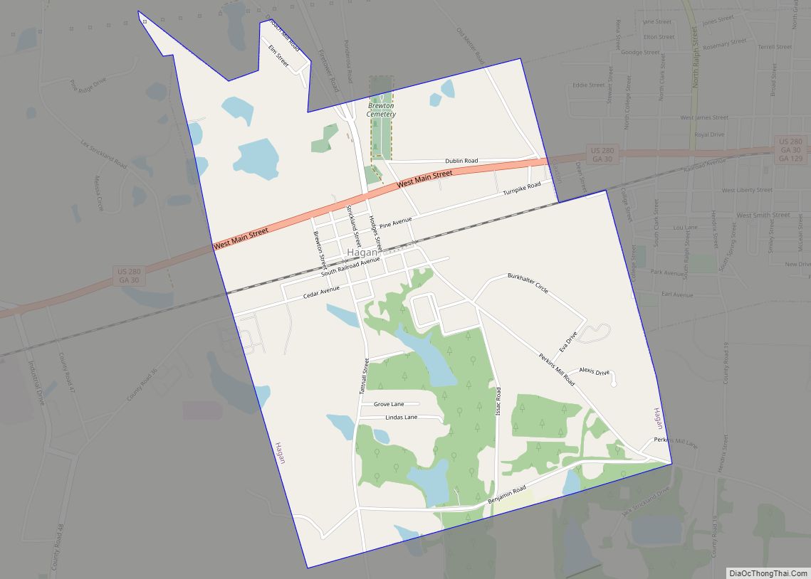
The push to create Evans County came about for various reasons, most notably the desire to not have to travel so far to the court house; more office jobs; increase in businesses coming to the area, especially in regard to hotels and eating establishments and a belief that there was a minority in Reidsville, Georgia – the county seat in Tattnall County – which controlled the county. Moreover, the entrance of the Savannah and Western Railroad into Tattnall County created a desire by landowners to have stations on their property; ultimately, these new stations led to the founding of the cities which would become part of Evans County: Bellville, Claxton, Daisy and Hagan.
However, not everyone was for the creation of a new county. Some of the arguments against the creation of a new county included: the idea that the difficulties with distance to the courthouse were being overcome; also, the tax burden would override any benefits from new jobs. Evans County was approved through the constitutional amendment process because of an earlier amendment from 1904 which limited the number of counties to 145. In order to get around this amendment, a new amendment was passed which allowed for the creation of Evans County.
The current Evans County courthouse was completed in 1923. The courthouse is in Claxton and was designed in the neoclassical revival tradition by architect J.J. Baldwin. Prior to the building of the current courthouse, all of the county’s business was held in the White Building, a three-story edifice built by Mr. R. King White and later bought by Mrs. Ben Daniel. Mrs. Daniel’s husband, Dr. Ben Daniel, used the building as his office.
The first female elected sheriff in Evans County, and in Georgia, was Mrs. Josie Mae Rogers, who was appointed after the death of the late sheriff, her father Jesse C. Durrence on June 24, 1940. Later, she was elected sheriff by the people of the county. Not long after, in July 1940, Camp Stewart – which would eventually become Fort Stewart – was created after the United States government bought up several tracts of land in various counties, including Evans County. In all, it is estimated that approximately 1,500 people were displaced by the creation of the camp.
The late 1950s and the 1960s were a time of growth in Evans County, especially in regards to health care and transportation. Beginning in 1958, Dr. Curtis Gordon Hames began research on the Evans County Heart Study, which was funded by the National Institutes of Health; this study would continue until 1995 and resulted in 560 published papers on heart disease, genetics, cancer and other areas. In 1964, the FAA approved a site for the construction of an airport in the county, just three miles (5 km) northeast of Claxton. On December 7, 1967, after two decades of effort, Evans Memorial Hospital was opened.
In November 1975, B.G. Tippins, a teacher at Claxton High School, worked with 15 students to build a Miller Lil’ Rascal, a two-seat sporting biplane. This plane was the only one of its kind built.
From 1980 to 1983 several buildings were placed on the National Register of Historic Places, including the courthouse and three homes.
On October 16, 2006, the Evans County Sheriff’s Department was presented with seven bullet-proof vests by the Georgia Fraternal Order of Police.
On June 3, 2008, Evans County commissioners unanimously passed a resolution to mark August 11 as Evans County Day. Since that day there have been annual celebrations of the county’s founding including the 2014 centennial celebration.
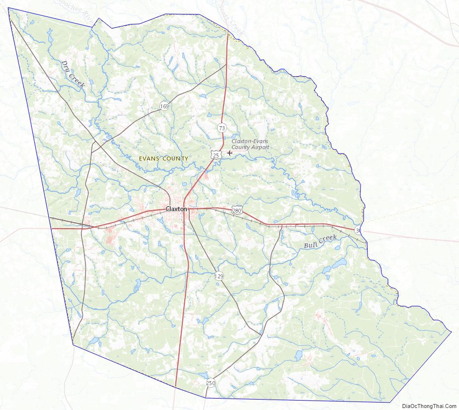
Evans County Road Map
Geography
According to the U.S. Census Bureau, the county has a total area of 187 square miles (480 km), of which 183 square miles (470 km) is land and 4.0 square miles (10 km) (2.1%) is water. The major body of water is the Canoochee River which flows through Evans County. The Canoochee is a tributary of the Ogeechee River.
There are several ponds in Evans County. They include Cypress Pond; Dyess Pond; Beasley Pond; Bernard Smith Pond; I.W. DeLoach Ponds; Big Beasley Pond DeLoach Pond. Other bodies of water include Tippins Lake; Grice Creek; Billy Fork Creek; Thick Creek; Mill Branch; Barnard Mill; Rocky Branch; Scott Creek; Cedar Creek; and Dry Creek.
The entirety of Evans County is located in the Canoochee River sub-basin of the Ogeechee River basin.
Geology and terrain
Geologically, Evans County lies in the coastal plain region of Georgia, an area consisting mostly of sedimentary rocks. The coastal plain is divided from the Piedmont by the Fall Line, which passes through Georgia from Augusta, Georgia in the east, then southwestward to Macon, Georgia, then to Columbus, Georgia and finally westward to Montgomery, Alabama.
Yet, sedimentary rocks are not the only geological features to be found in Evans County. The county is mostly covered by thin sand and red and yellow clay. As in Tattnall County along the Ohoopee River, the sand in Evans County that lies along the Canoochee River is white quartz of a medium to coarse grain. There is exploitable medium-grain sand covering about 50 acres of land along the railroad above Bull Creek. The pure white sand along the Canoochee could be made into bottle glass, but is expensive to recover.
Flora and fauna
Evans County is home to several protected species of flora and fauna. Among the flora in the county are the Georgia plume, Sarracenia flava, Sarracenia minor, beardtongue, Stewartia, loblolly-bay and sweetbay. Others include the purple honeycomb head, large-stem morning-glory, few-flower gay-feather, pond spice, Lobelia boykinii, hummingbird flower, and other plants. Protected animals in the area include the red-cockaded woodpecker, the indigo snake, Bachman’s sparrow, the spotted turtle, Say’s spiketail and the southern bald eagle, among other animals.
Climate
Evans County is classified as a humid subtropical climate under the Köppen classification and has a mild climate, averaging 49.8 degrees in January and 82.7 degrees in July. The average annual rainfall is 48 inches and the county has a minimum altitude of 65 feet (20 m) above sea level and a maximum altitude of 228 feet (69 m) above sea level. The county is 1.4 times below the U.S. average in historical area-adjusted tornado activity. From 1950 to 2004, only 2 injuries have been caused by tornadoes in the county; this occurred on March 29, 1974, when an F1 tornado hit the county, causing between $5,000 and $50,000 in damages.
Adjacent counties
- Bulloch County – northeast
- Bryan County – east
- Liberty County – southeast
- Tattnall County – southwest
- Candler County – northwest
Evans County Topographic Map
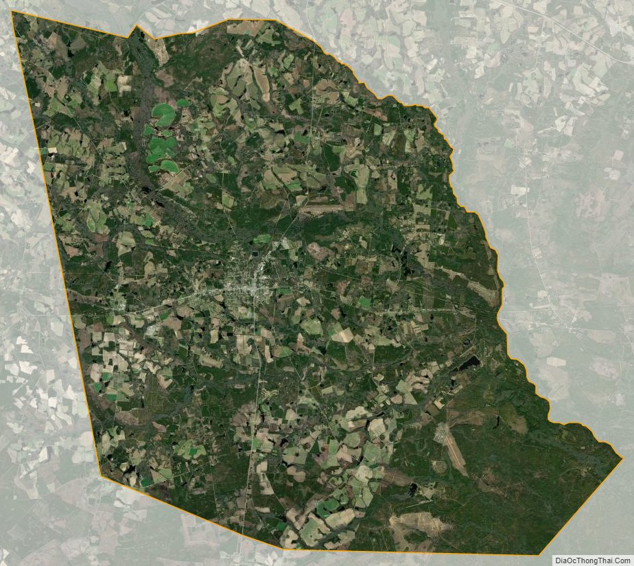
Evans County Satellite Map
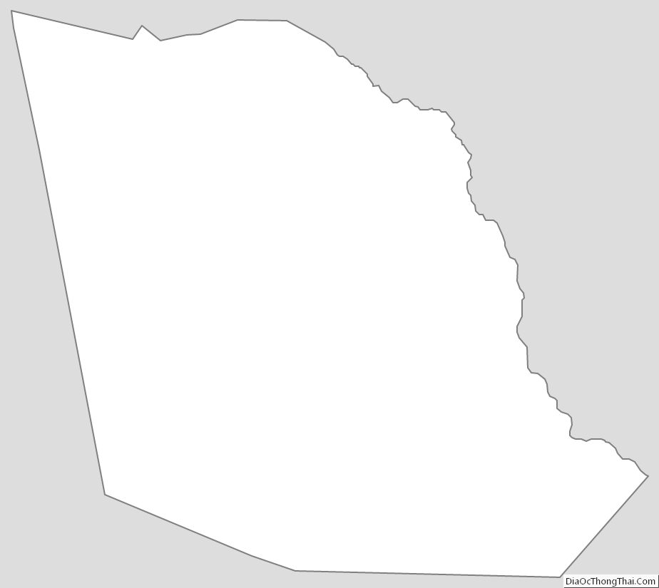
Evans County Outline Map