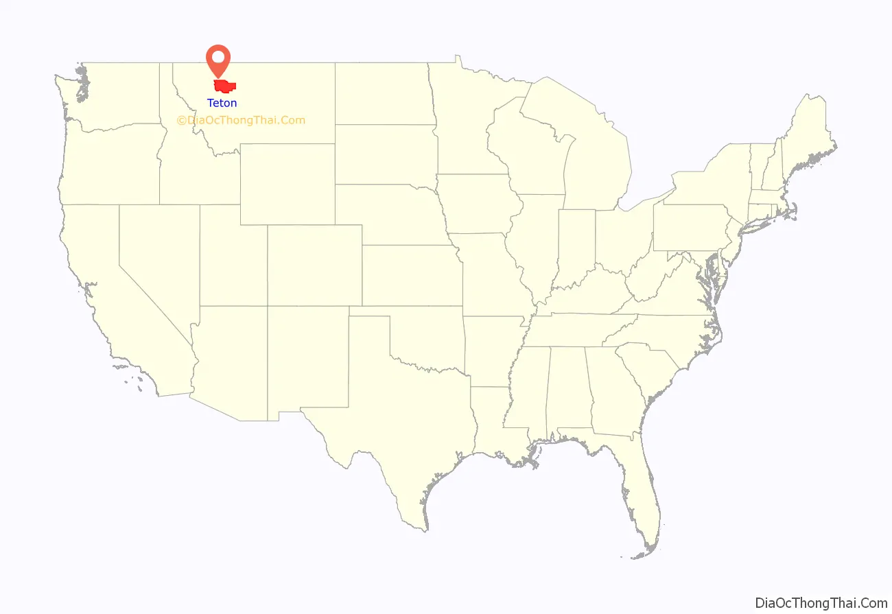
Teton County is a county in the U.S. state of Montana. As of the 2020 census, the population was 6,226. Its county seat is Choteau. The county was founded in 1893.
| Name: | Teton County |
|---|---|
| FIPS code: | 30-099 |
| State: | Montana |
| Founded: | 1893 |
| Seat: | Choteau |
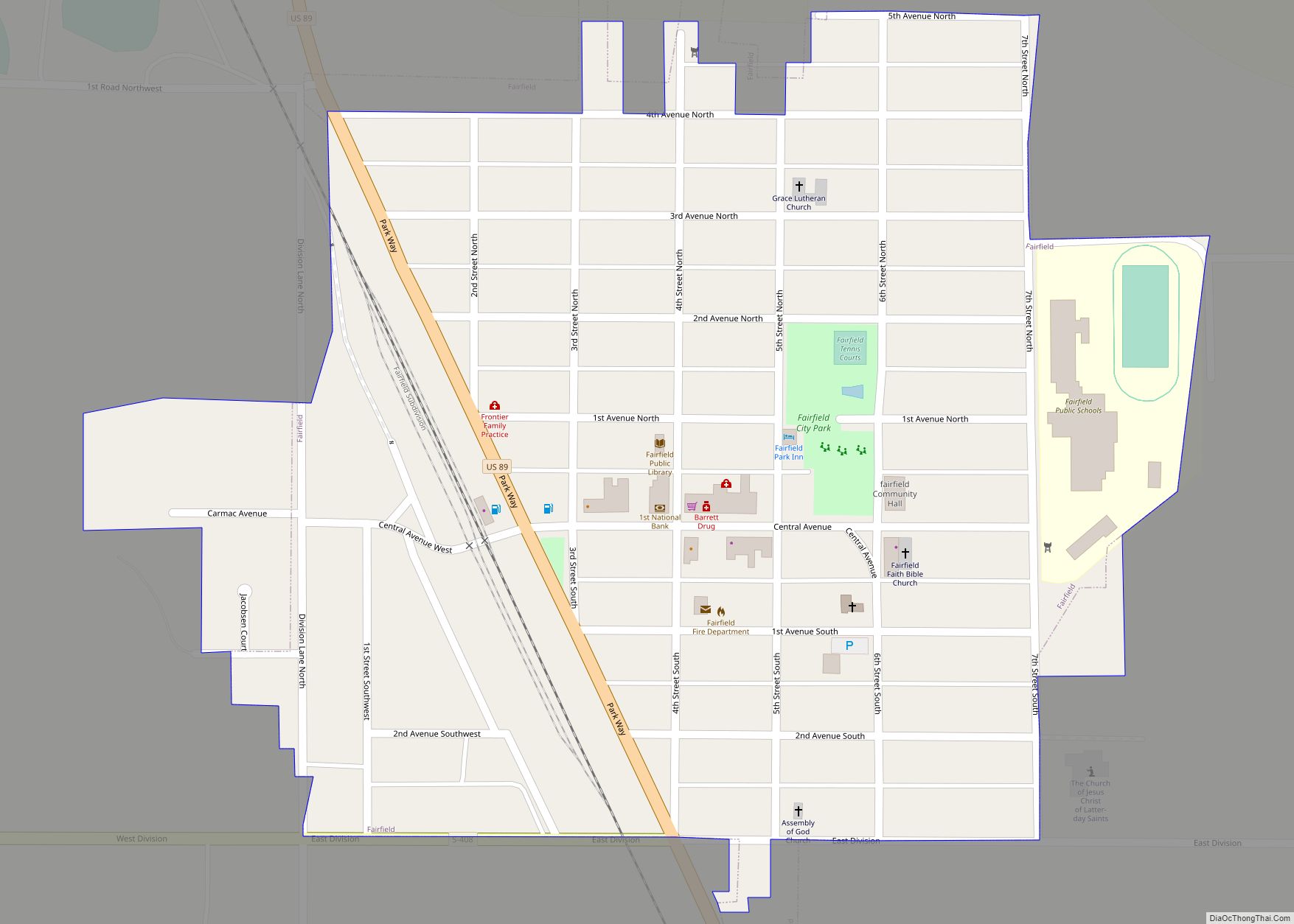
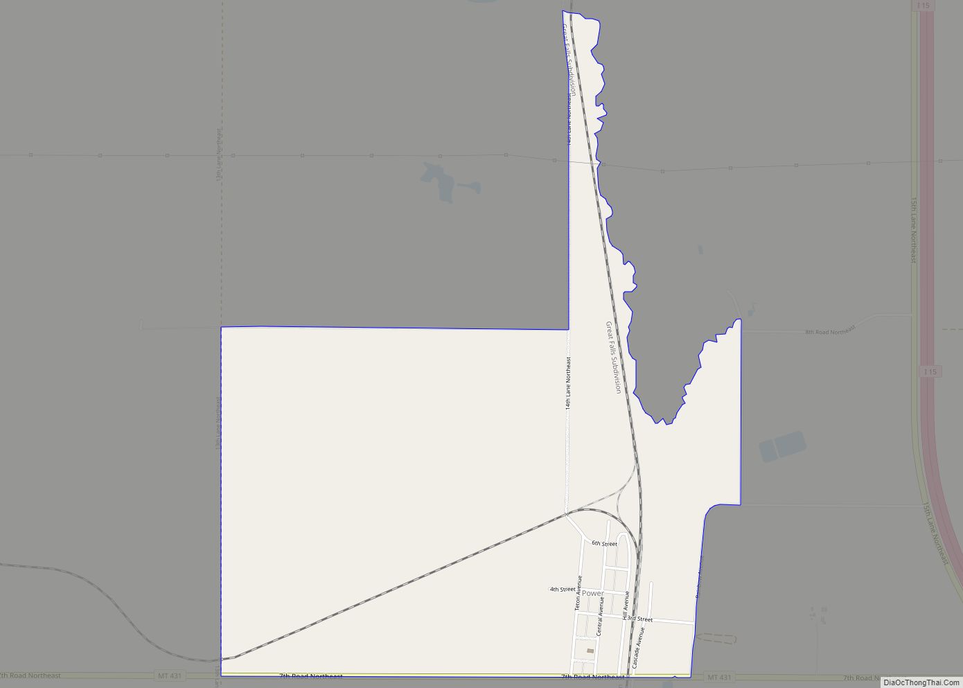
| Largest city: | Choteau |
| Total Area: | 2,293 sq mi (5,940 km²) |
| Land Area: | 2,272 sq mi (5,880 km²) |
| Total Population: | 6,226 |
| Population Density: | 2.7/sq mi (1.0/km²) |
| Time zone: | UTC−7 (Mountain) |
| Summer Time Zone (DST): | UTC−6 (MDT) |
| Website: | www.tetoncomt.org |
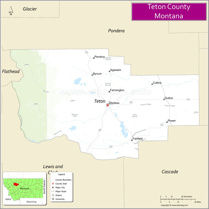
Teton County location map. Where is Teton County?
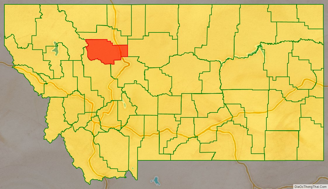
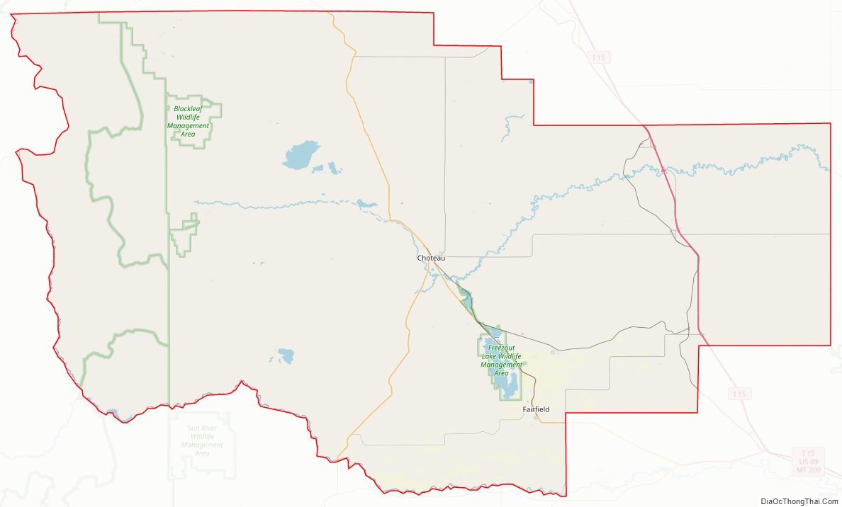
Teton County Road Map
Geography
According to the United States Census Bureau, the county has a total area of 2,293 square miles (5,940 km), of which 2,272 square miles (5,880 km) is land and 20 square miles (52 km) (0.9%) is water.
Adjacent counties
- Pondera County – north
- Chouteau County – east
- Cascade County – southeast
- Lewis and Clark County – south
- Flathead County – west
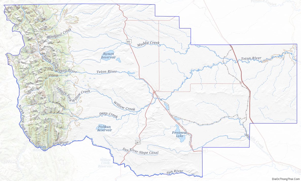
National protected area
- Lewis and Clark National Forest (part)
- Rocky Mountain Front Conservation Area (part)
Teton County Topographic Map
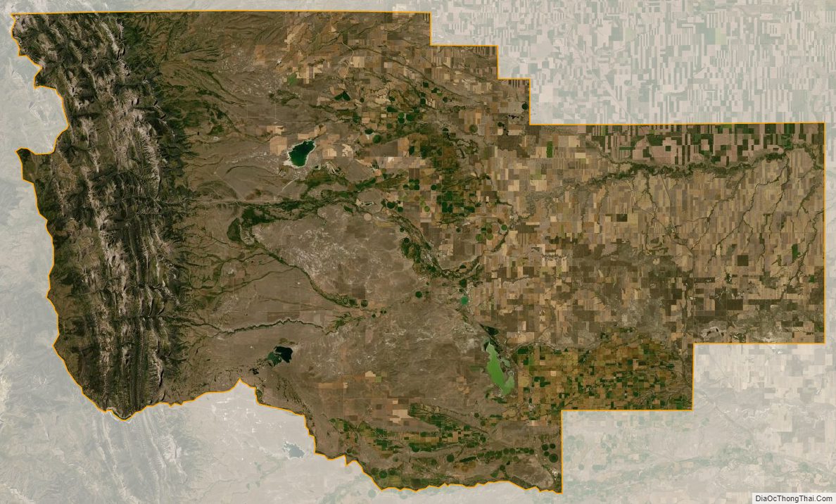
Teton County Satellite Map
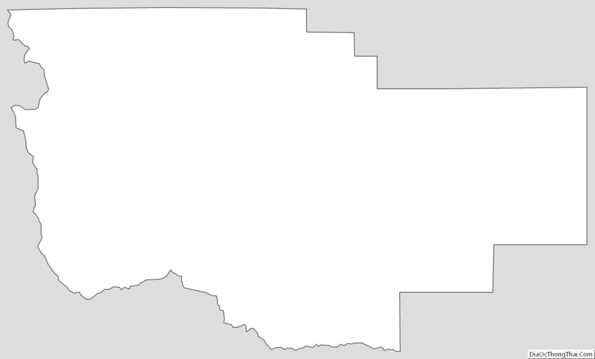
Teton County Outline Map