Lewis and Clark County is a county located in the U.S. state of Montana. As of the 2020 census, the population was 70,973. Its county seat is Helena, the state capital. The numerical designation for Lewis and Clark County (used in the issuance of the state’s license plates) is 5. The county was established on June 2, 1865 as one of the nine original counties of the Territory of Montana named Edgerton County in honor of Sidney Edgerton, first Governor of the Territory of Montana, and was renamed Lewis and Clark County on March 1, 1868 in honor of explorers Meriwether Lewis and William Clark.
Lewis and Clark County is part of the Helena, Montana Micropolitan Statistical Area.
| Name: | Lewis and Clark County |
|---|---|
| FIPS code: | 30-049 |
| State: | Montana |
| Founded: | June 2, 1865 |
| Named for: | Meriwether Lewis and William Clark |
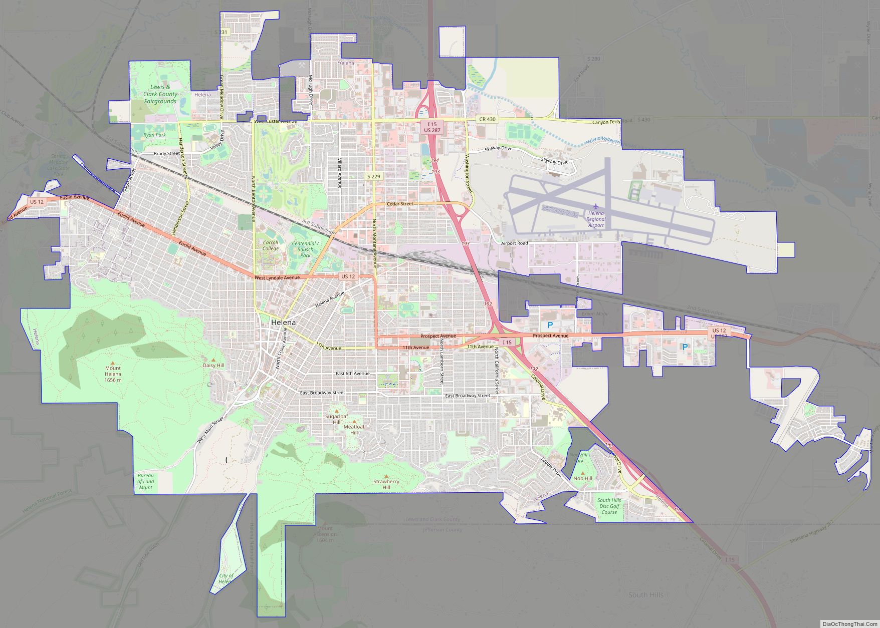
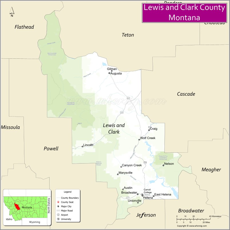
| Seat: | Helena |
| Largest city: | Helena |
| Total Area: | 3,498 sq mi (9,060 km²) |
| Land Area: | 3,459 sq mi (8,960 km²) |
| Total Population: | 70,973 |
| Population Density: | 20/sq mi (7.8/km²) |
| Time zone: | UTC−7 (Mountain) |
| Summer Time Zone (DST): | UTC−6 (MDT) |
| Website: | www.lccountymt.gov/home.html |
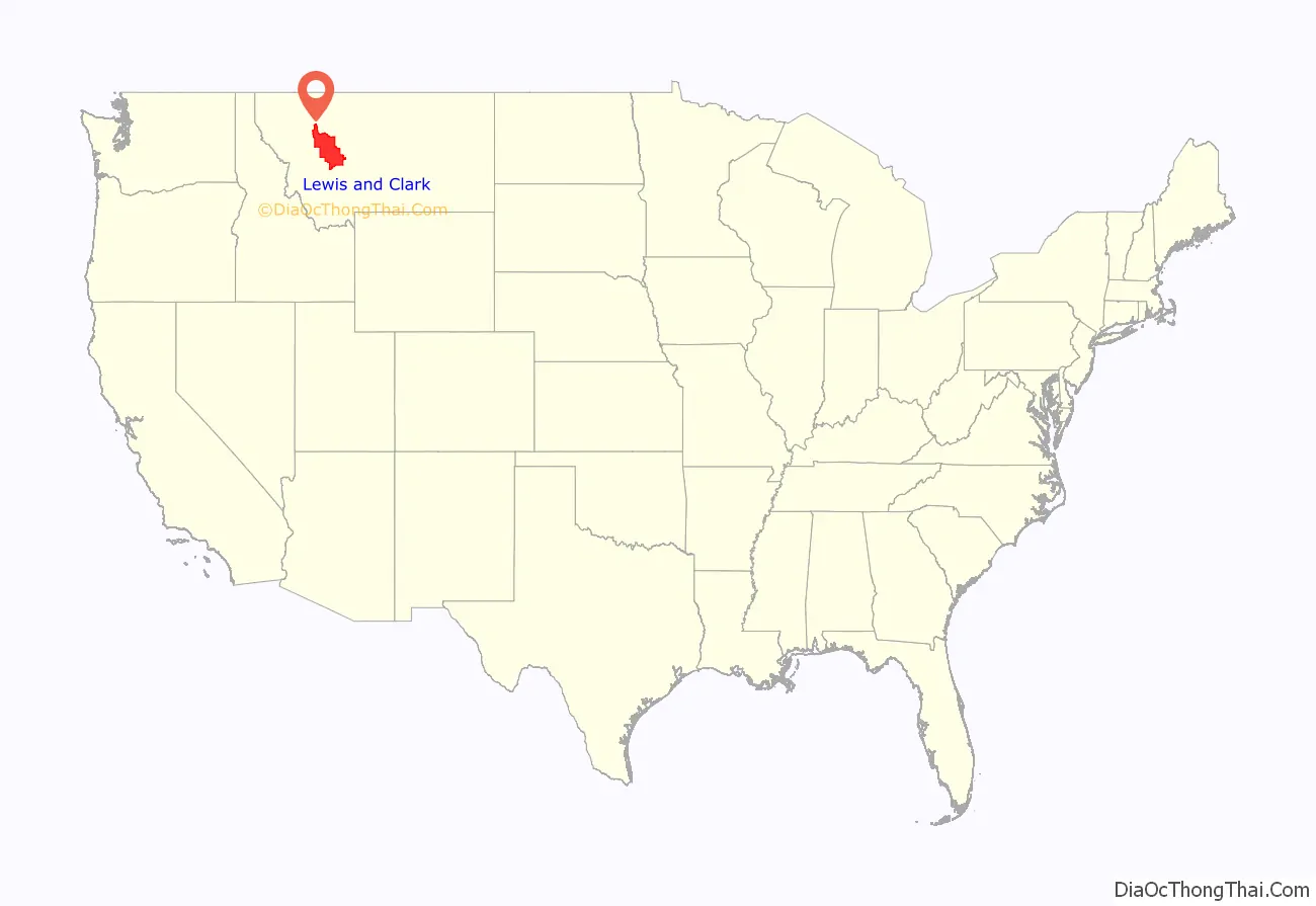
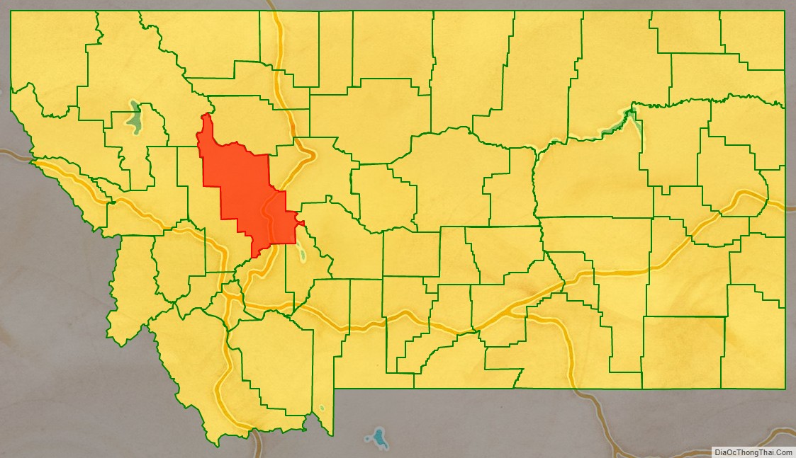
Lewis and Clark County location map. Where is Lewis and Clark County?
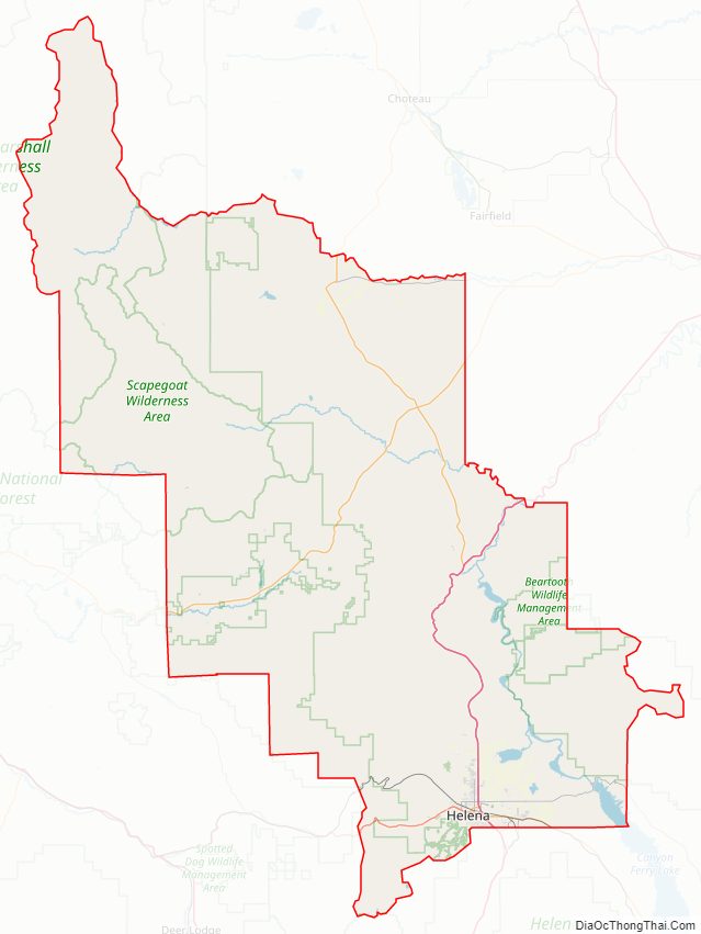
Lewis and Clark County Road Map
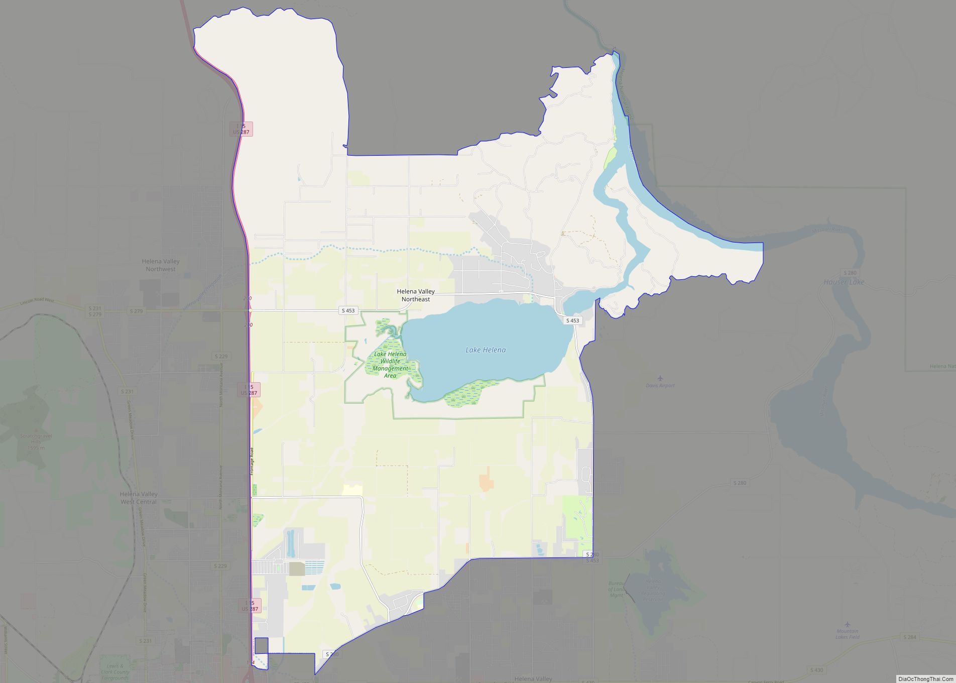
Geography
According to the United States Census Bureau, the county has a total area of 3,948 square miles (10,230 km), of which 3,459 square miles (8,960 km) is land and 39 square miles (100 km) (1.1%) is water.
Major highways
- I-15
- US 12
- US 287
- MT 21
- MT 200
- S-279
- S-284
- S-434
Adjacent counties
- Teton County – north
- Cascade County – east
- Meagher County – east
- Broadwater County – southeast
- Jefferson County – south
- Powell County – west
- Flathead County – northwest
National protected areas
- Flathead National Forest (part)
- Helena National Forest (part)
- Lewis and Clark National Forest (part)
- Lolo National Forest (part)
- Rocky Mountain Front Conservation Area (part)
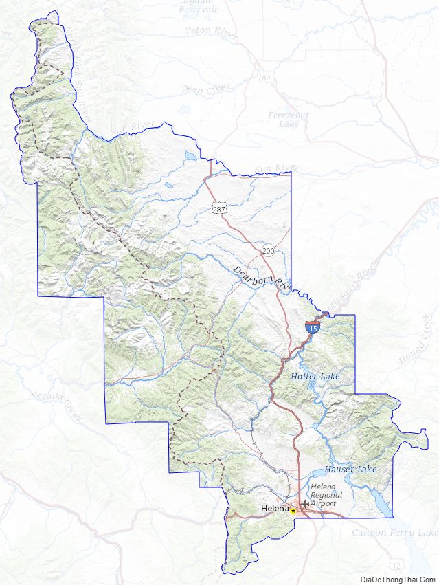
Lewis and Clark County Topographic Map
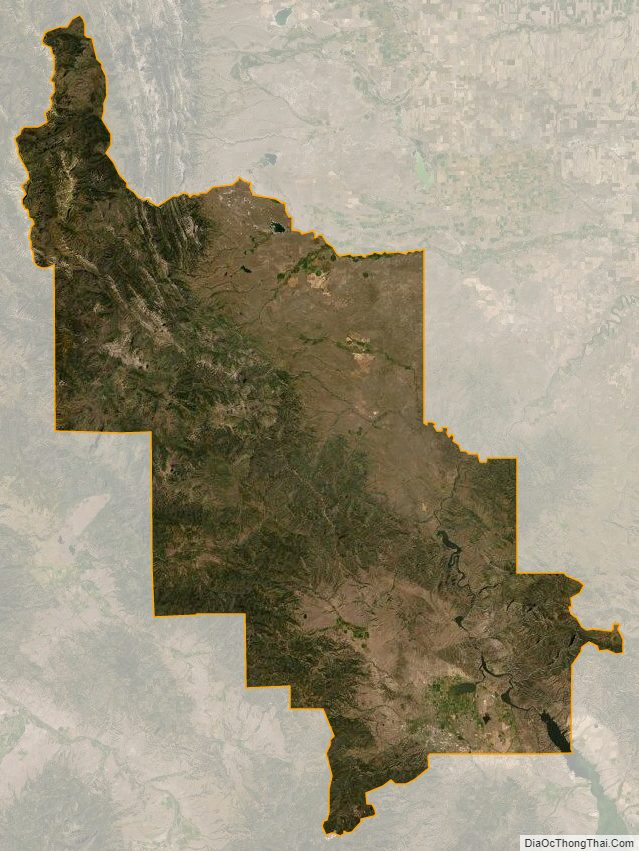
Lewis and Clark County Satellite Map
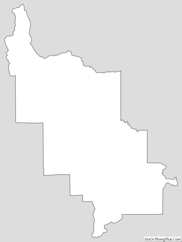
Lewis and Clark County Outline Map