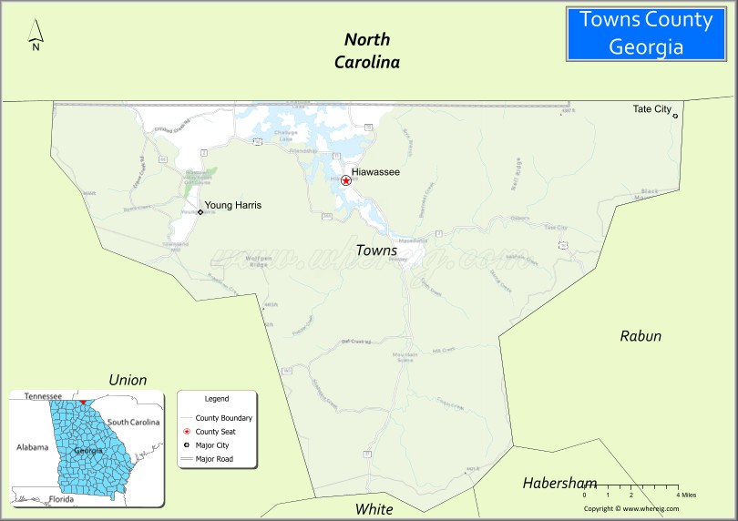
Towns County is a county located in the northeastern part of the U.S. state of Georgia. As of the 2020 census, the population was 12,493. Its county seat is Hiawassee. The county was created on March 6, 1856, and named for lawyer, legislator, and politician George W. Towns.
| Name: | Towns County |
|---|---|
| FIPS code: | 13-281 |
| State: | Georgia |
| Founded: | 1856 |
| Named for: | George W. Towns |
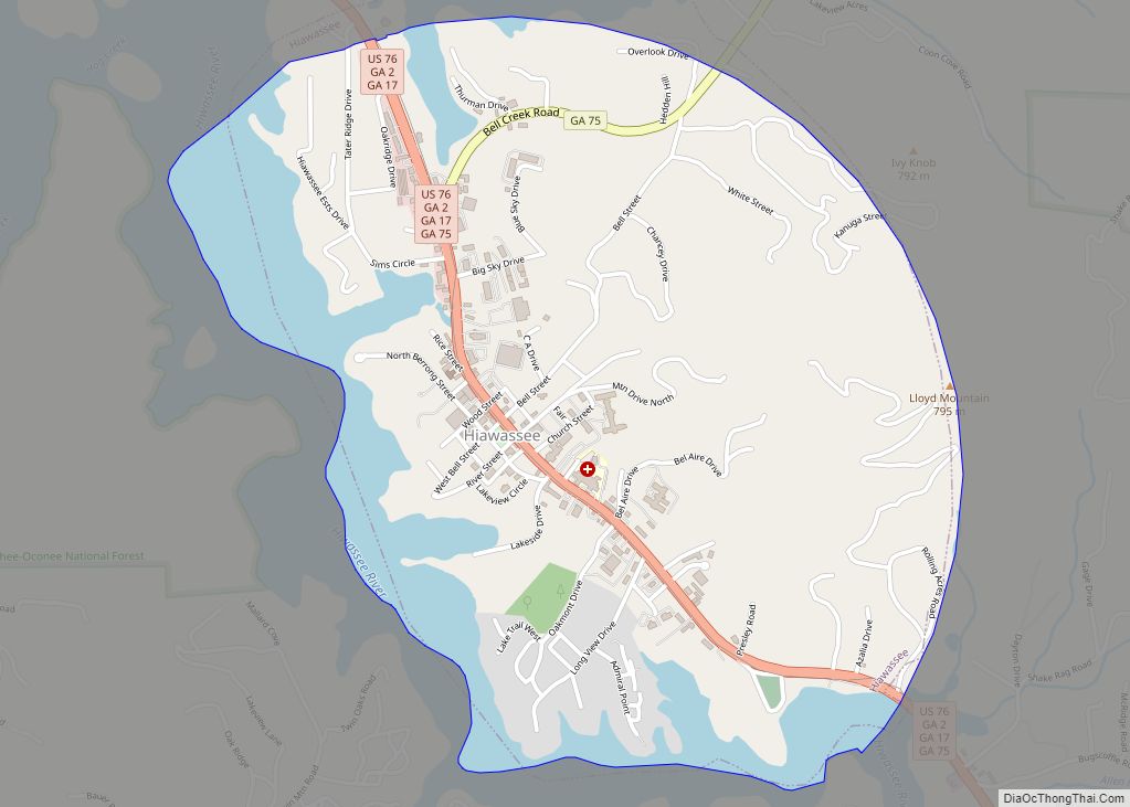
| Seat: | Hiawassee |
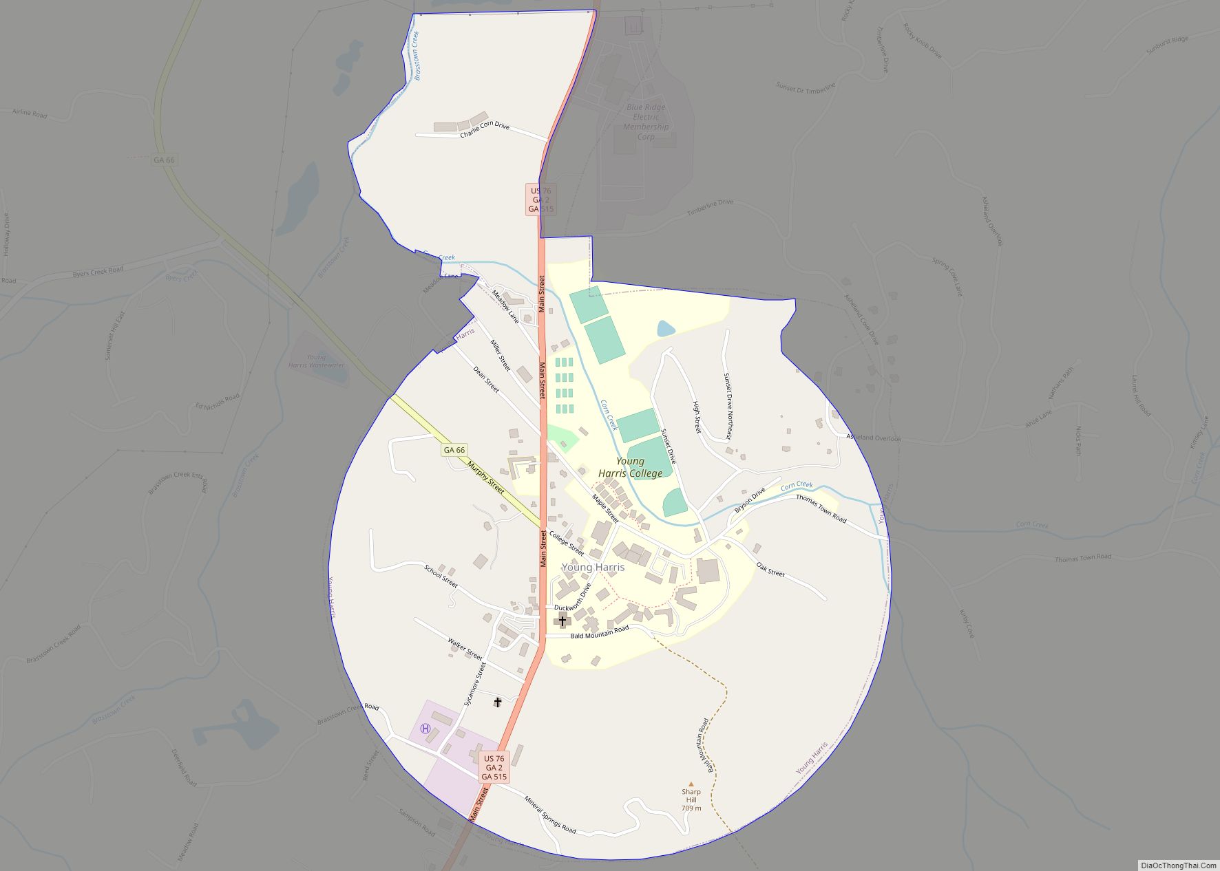
| Largest city: | Young Harris |
| Total Area: | 172 sq mi (450 km²) |
| Land Area: | 167 sq mi (430 km²) |
| Total Population: | 12,493 |
| Population Density: | 75/sq mi (29/km²) |
| Time zone: | UTC−5 (Eastern) |
| Summer Time Zone (DST): | UTC−4 (EDT) |
| Website: | www.townscountyga.com |
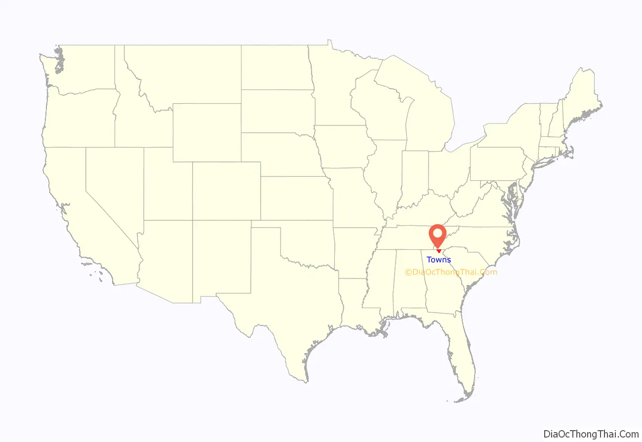
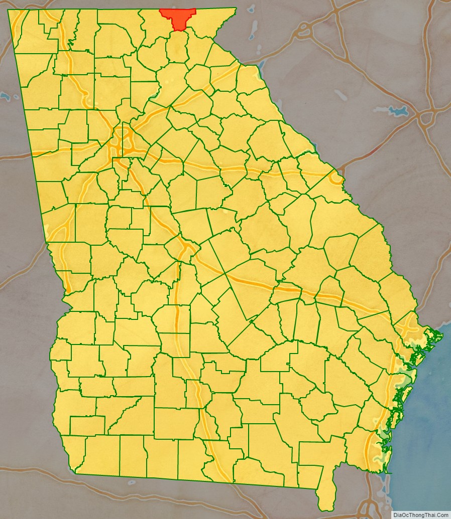
Towns County location map. Where is Towns County?
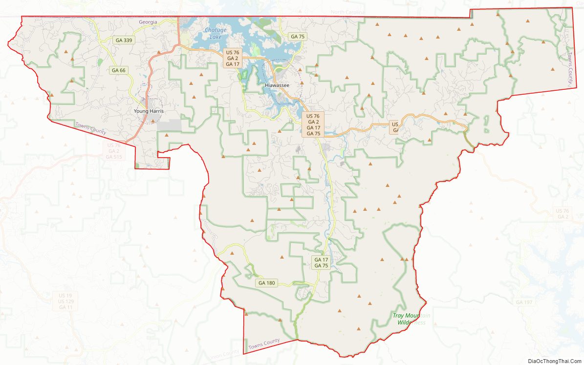
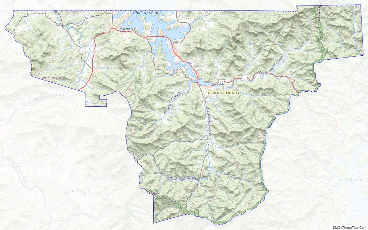
Towns County Road Map
Geography
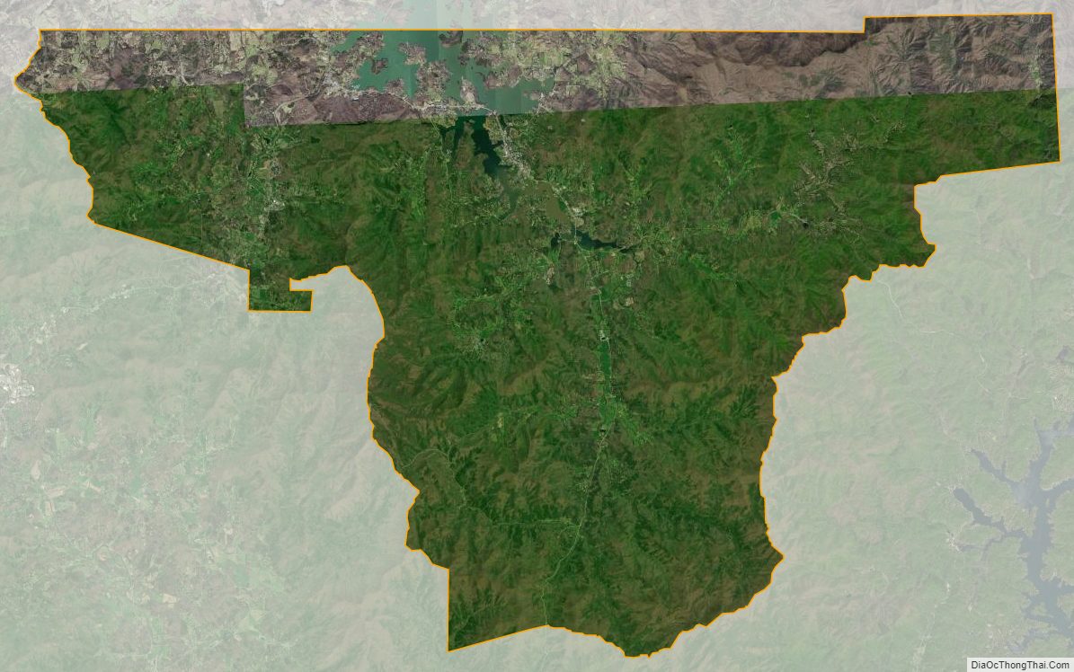
According to the U.S. Census Bureau, the county has a total area of 172 square miles (450 km), of which 167 square miles (430 km) is land and 5.4 square miles (14 km) (3.2%) is water. Towns is mostly in the Hiwassee River sub-basin of the Middle Tennessee-Hiwassee basin, with a part of the county in the Tugaloo River sub-basin in the larger Savannah River basin, as well as a small portion of the county’s southwestern corner in the Chattahoochee River sub-basin of the ACF River Basin (Apalachicola-Chattahoochee-Flint River Basin), near the source of the Chattahoochee in neighboring Union County. Towns County is inside the Bible Belt.
Towns County is located amidst the Blue Ridge Mountains, (part of the Appalachian Mountains), some of which are protected by the Chattahoochee National Forest. Brasstown Bald, the highest mountain in Georgia, rises in southwest Towns County, straddling the Union County line. The source of the Hiwassee River is located in eastern Towns County, from which it flows northward into North Carolina. Chatuge Lake, an artificial reservoir created by the completion of Chatuge Dam by the Tennessee Valley Authority in the 1940s, dominates the northeastern section of Towns County and extends into North Carolina. State Route 515 from north of Atlanta ends here at the North Carolina state line near Young Harris.
The county was traversed by a road built upon a traditional Cherokee trading path, which ran north to south through the county, passing through Unicoi Gap. It served as a line between European-American settlers and the Cherokee until after the Indian cessions and Indian Removal in the 1830s, when it fell solely into the hands of the whites. When the Cherokee were expelled by US forces from their villages, they were forced temporarily into “removal forts.” One had been constructed in what is now Hiawassee, the county seat. They were forced to travel what is known as the Trail of Tears to Indian Territory west of the Mississippi River, a journey during which many Cherokee died.
Major highways
- U.S. Route 76
- State Route 2
- State Route 17
- State Route 66
- State Route 75
- State Route 180
- State Route 288
- State Route 339
- State Route 515
Adjacent counties
- Clay County, North Carolina (north)
- Rabun County (east)
- Habersham County (southeast)
- White County (south)
- Union County (west)
National protected area
- Appalachian Trail (part)
- Chattahoochee National Forest (part)
Towns County Topographic Map
Towns County Satellite Map
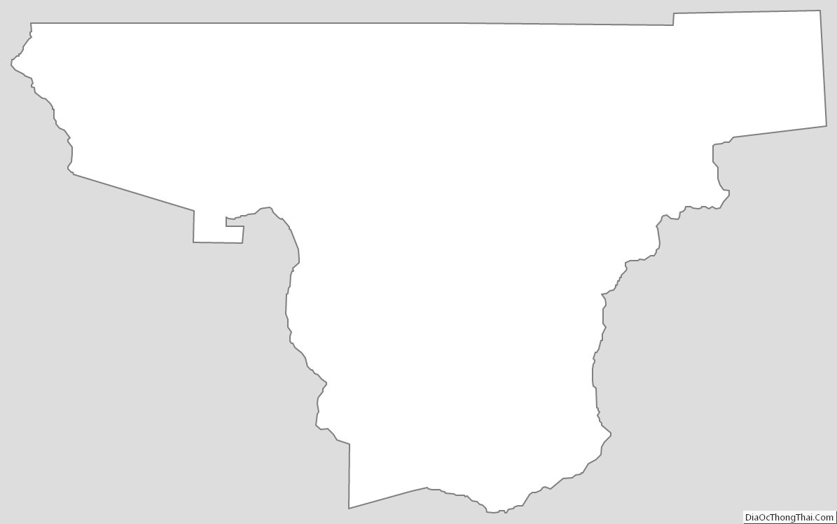
Towns County Outline Map