Tunica County is a county located in the U.S. state of Mississippi. As of the 2020 census, the population was 9,782. Its county seat is Tunica. The county is named for the Tunica Native Americans. Most migrated to central Louisiana during the colonial period.
Tunica County is part of the Memphis, TN-MS-AR Metropolitan Statistical Area. It is located in the Mississippi Delta region.
Since the late 20th century, it is known for Tunica Resorts (formerly Robinsonville), an unincorporated community that is the site of six casino resorts. It is one of the top six destinations in the country in terms of gambling revenues.
| Name: | Tunica County |
|---|---|
| FIPS code: | 28-143 |
| State: | Mississippi |
| Founded: | 1836 |
| Named for: | Tunica-Biloxi tribe |
| Seat: | Tunica |
| Largest town: | Tunica Resorts |
| Total Area: | 481 sq mi (1,250 km²) |
| Land Area: | 455 sq mi (1,180 km²) |
| Total Population: | 9,782 |
| Population Density: | 20/sq mi (7.9/km²) |
| Time zone: | UTC−6 (Central) |
| Summer Time Zone (DST): | UTC−5 (CDT) |
| Website: | www.tunicacountymississippi.com |
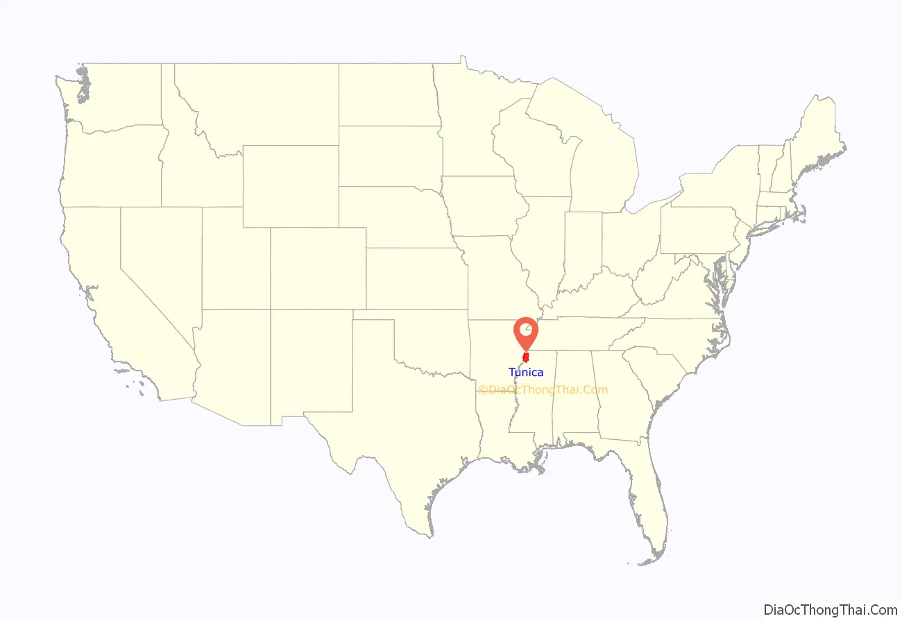
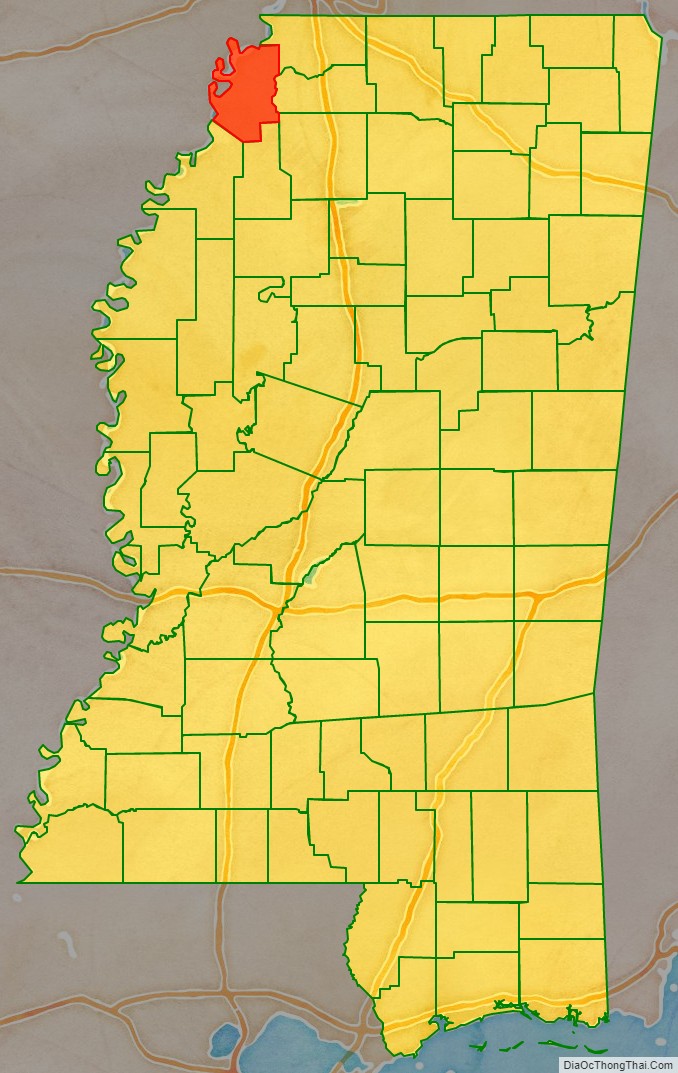
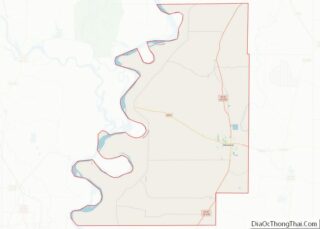
Tunica County location map. Where is Tunica County?
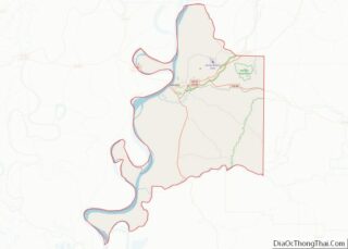
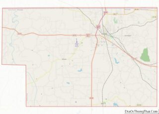
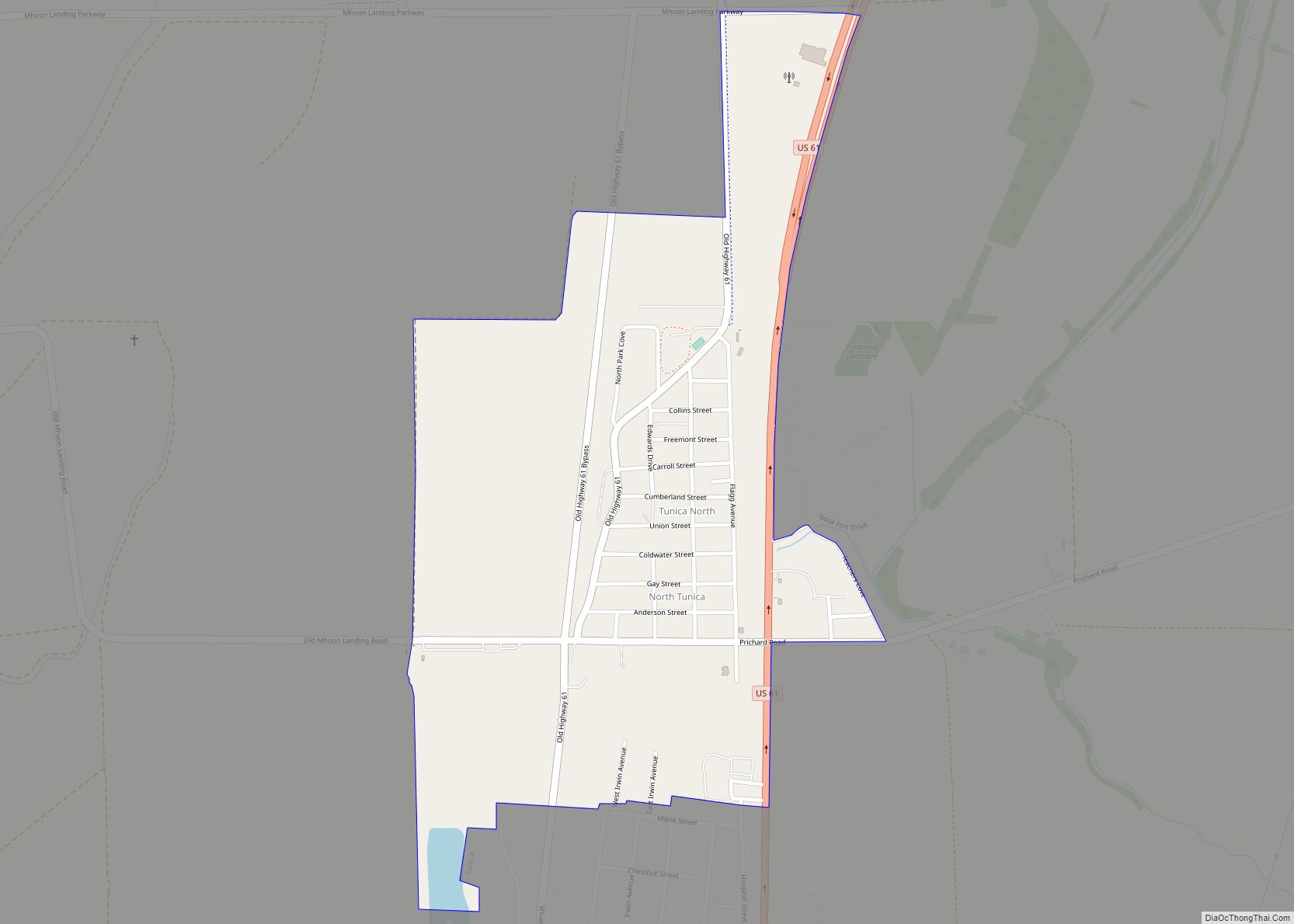
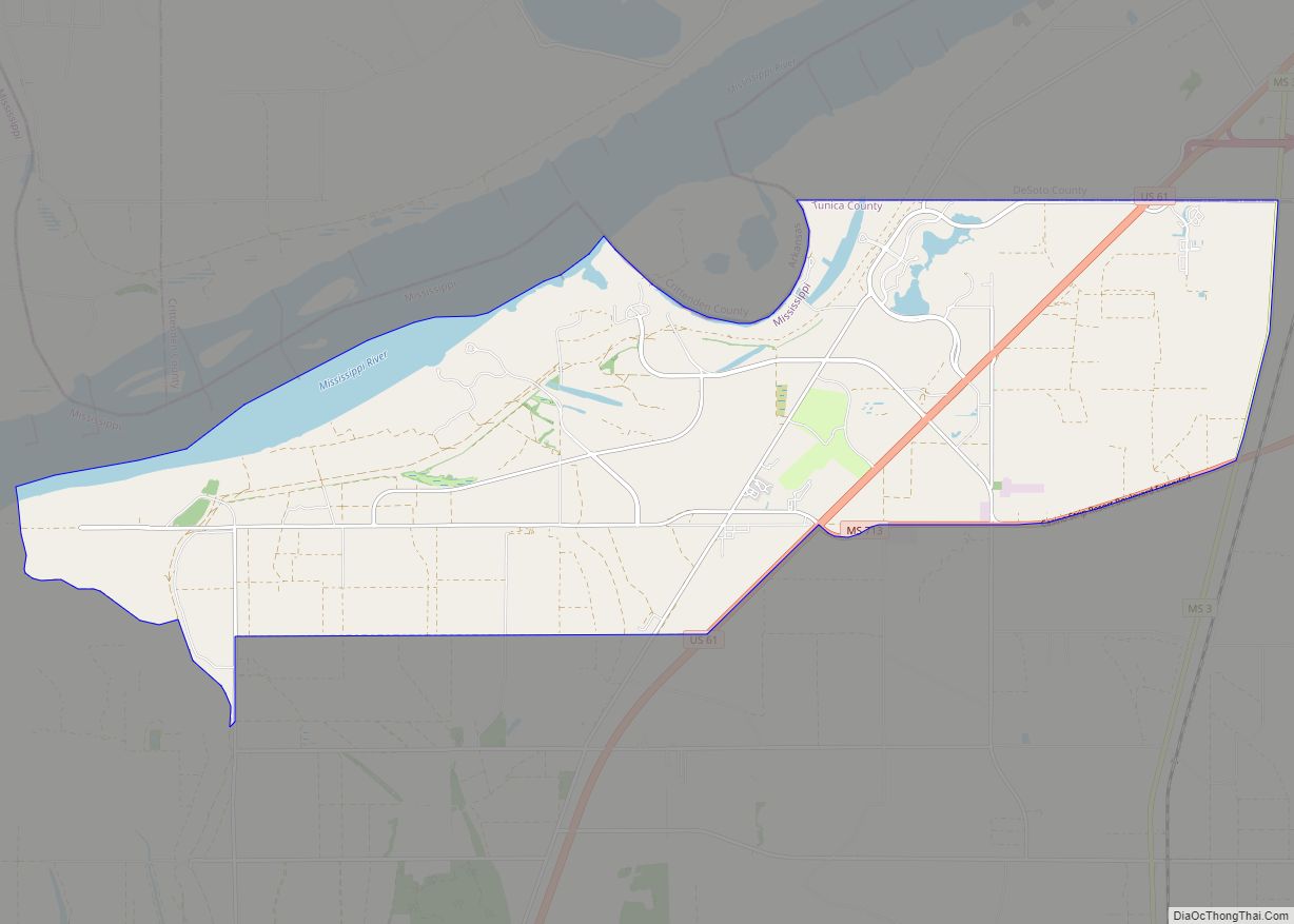
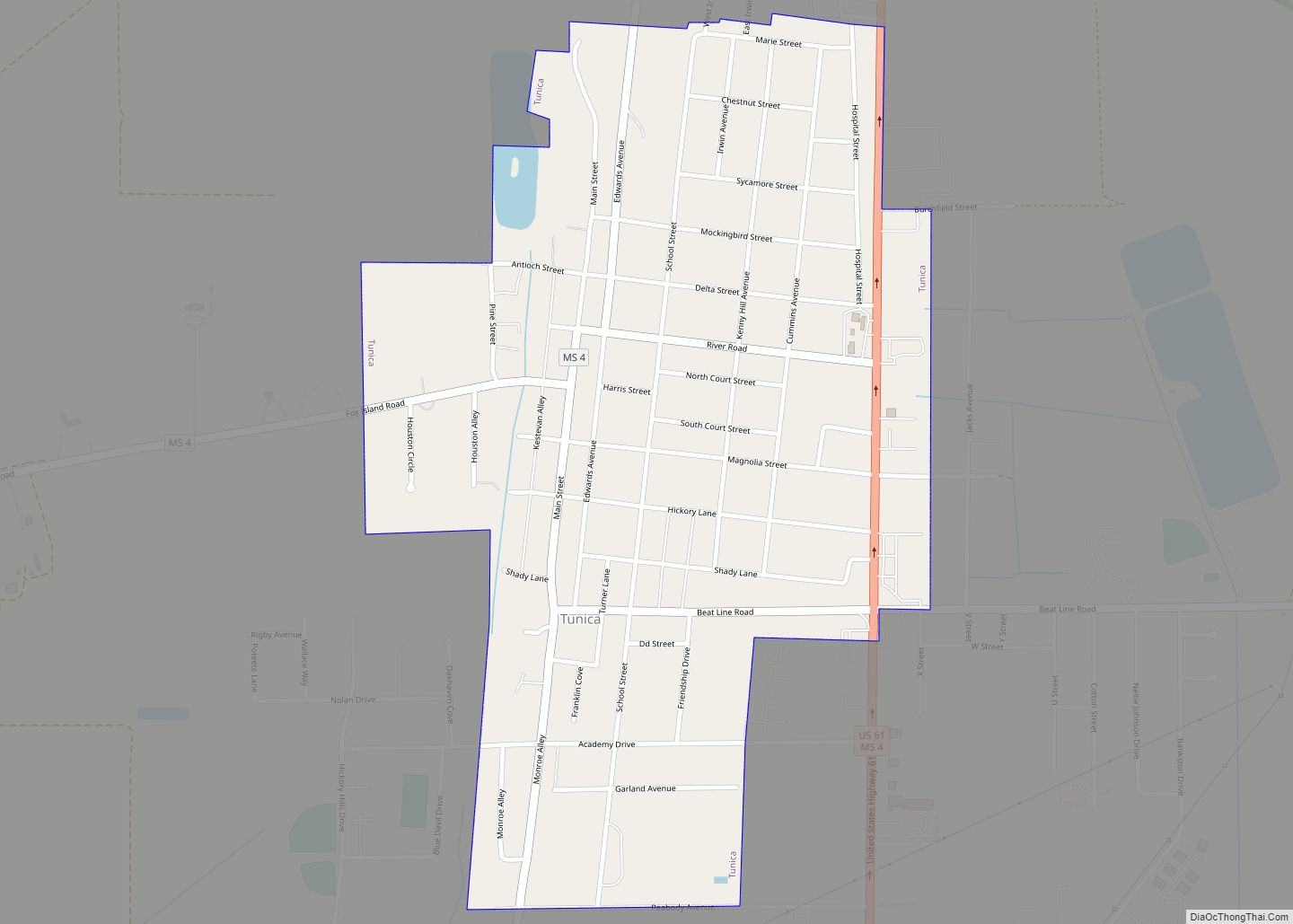
Tunica County Road Map
Geography
According to the U.S. Census Bureau, the county has a total area of 481 square miles (1,250 km), of which 455 square miles (1,180 km) is land and 26 square miles (67 km) (5.4%) is water.
Major highways
- Interstate 69
- U.S. Route 61
- Mississippi Highway 3
- Mississippi Highway 4
Adjacent counties
- Crittenden County, Arkansas (north)
- DeSoto County (northeast)
- Tate County (east)
- Panola County (southeast)
- Quitman County (south)
- Coahoma County (southwest)
- Phillips County, Arkansas (southwest)
- Lee County, Arkansas (west)
