Phillips County is a county located in the eastern part of the U.S. state of Arkansas, in what is known as the Arkansas Delta along the Mississippi River. As of the 2020 census, the population was 16,568. The county seat is Helena–West Helena.
Phillips County is Arkansas’s seventh (7th) county, formed on May 1, 1820. It was named for Sylvanus Phillips, the area’s first-known white or European-American settler; he was elected as representative to the first Territorial Legislature of the Arkansas Territory. This fertile lowland area was developed for cotton plantations in the antebellum area and is still largely rural and agricultural.
The Helena-West Helena, AR Micropolitan Statistical Area includes all of Phillips County. From September 30-October 1, 1919 during the Elaine race riot in Phillips County, at least 237 African Americans were killed, attacked at large by armed whites trying to suppress the Progressive Farmers and Household Union of America which was organizing in the county. Because the white mob actions were racial terrorism against African Americans, the deaths were classified as lynchings by the Equal Justice Initiative in its 2015 report on lynchings in the South. Based on this, Phillips County ranks as the county with the highest number of lynchings in U.S. history.
| Name: | Phillips County |
|---|---|
| FIPS code: | 05-107 |
| State: | Arkansas |
| Founded: | May 1, 1820 |
| Named for: | Sylvanus Phillips |
| Seat: | Helena-West Helena |
| Largest city: | Helena-West Helena |
| Total Area: | 727 sq mi (1,880 km²) |
| Land Area: | 696 sq mi (1,800 km²) |
| Total Population: | 16,568 |
| Population Density: | 23/sq mi (8.8/km²) |
| Time zone: | UTC−6 (Central) |
| Summer Time Zone (DST): | UTC−5 (CDT) |
| Website: | phillipscounty.arkansas.gov |
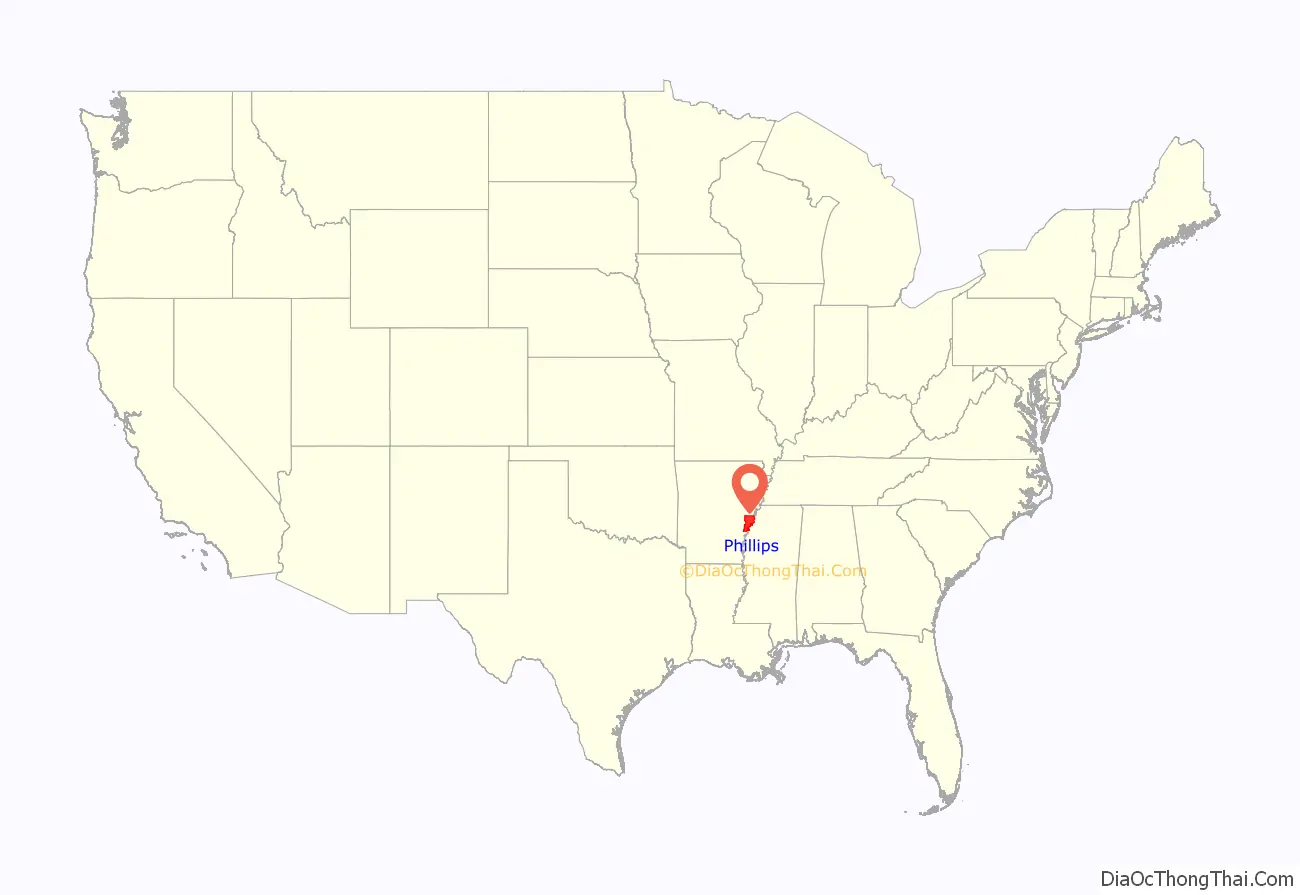
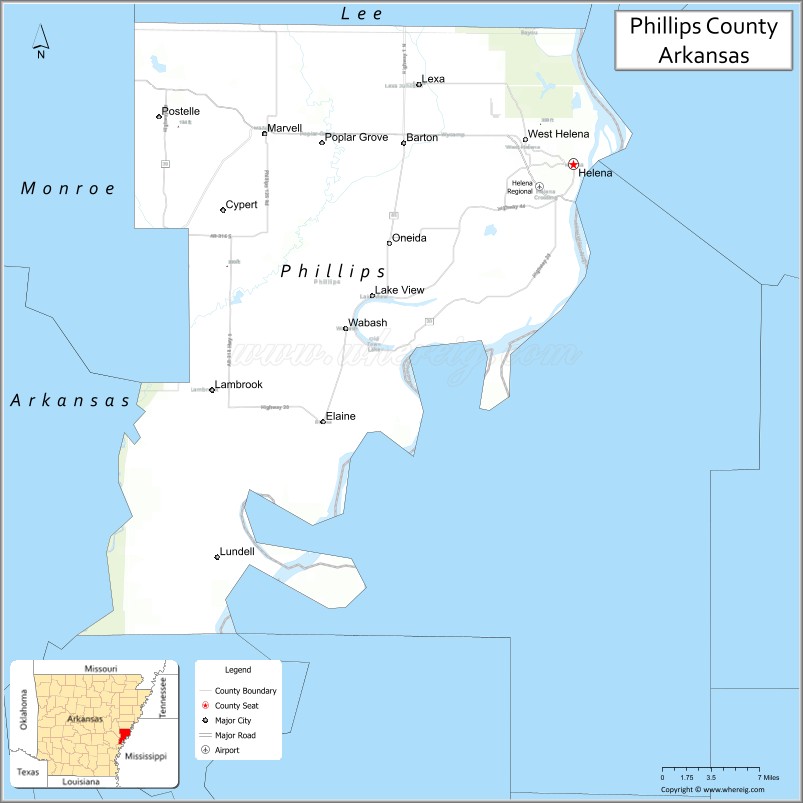
Phillips County location map. Where is Phillips County?
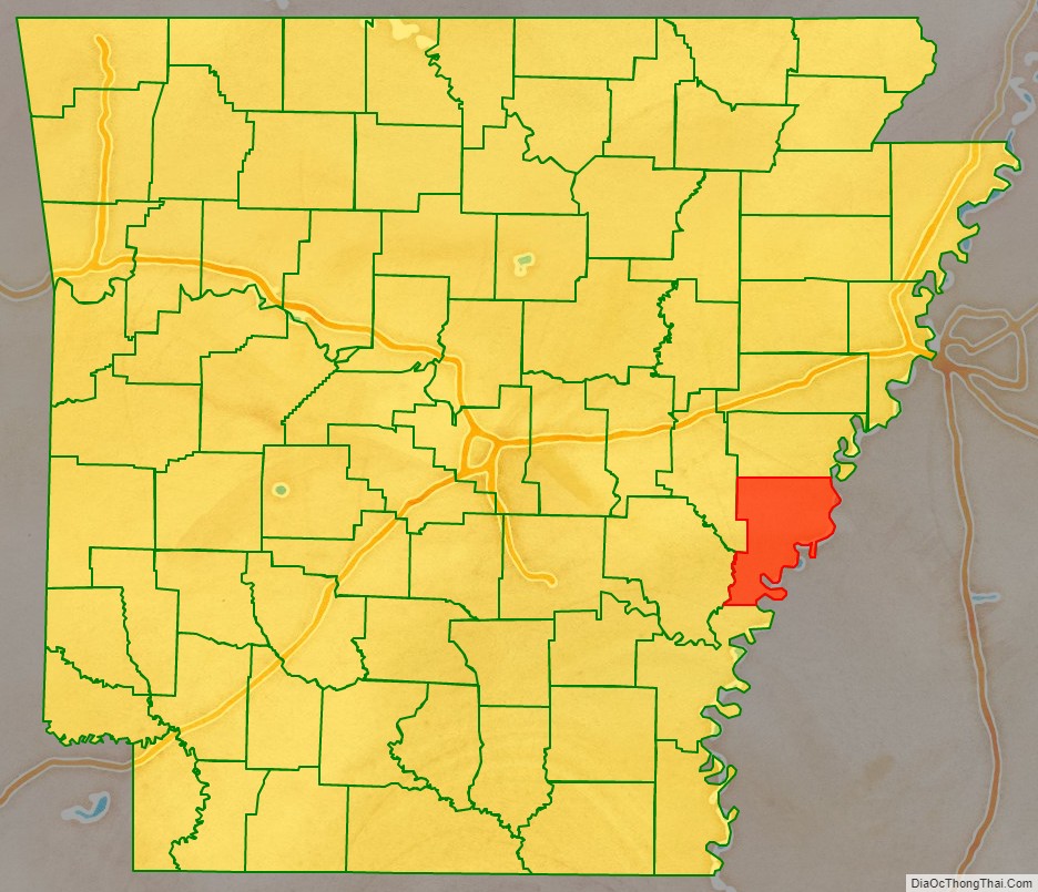
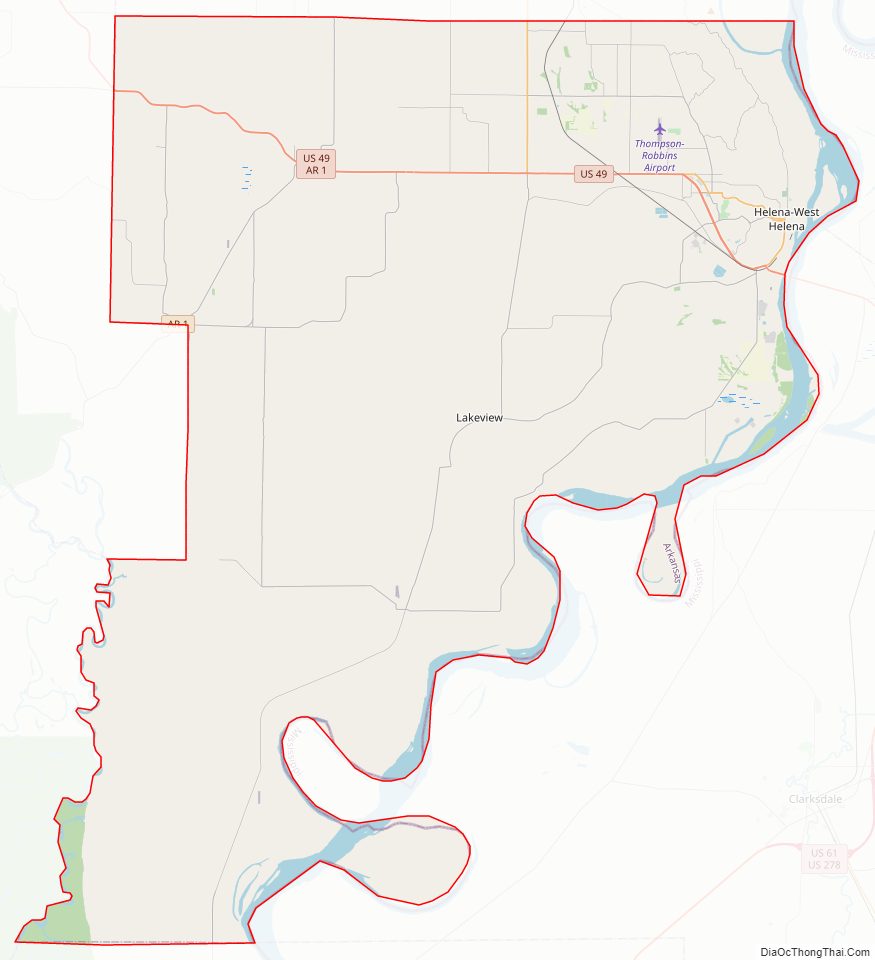
Phillips County Road Map
Geography
According to the U.S. Census Bureau, the county has a total area of 727 square miles (1,880 km), of which 696 square miles (1,800 km) is land and 32 square miles (83 km) (4.4%) is water.
Major highways
- U.S. Highway 49
- Highway 1
- Highway 39
- Highway 85
Adjacent counties
- Lee County (north)
- Tunica County, Mississippi (northeast)
- Coahoma County, Mississippi (east)
- Bolivar County, Mississippi (southeast)
- Desha County (south)
- Arkansas County (southwest)
- Monroe County (northwest)
National protected areas
- St. Francis National Forest (part)
- White River National Wildlife Refuge (part)
Phillips County Topographic Map
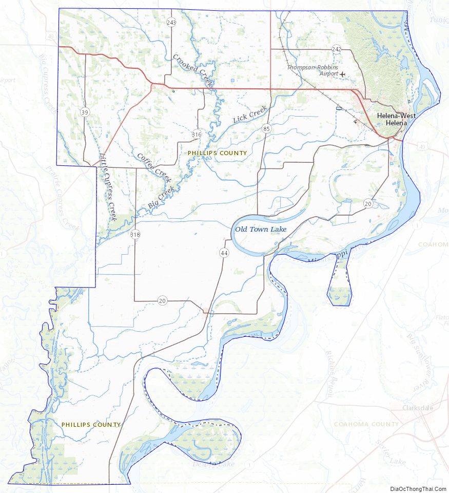
Phillips County Satellite Map

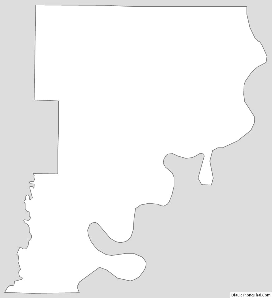
Phillips County Outline Map