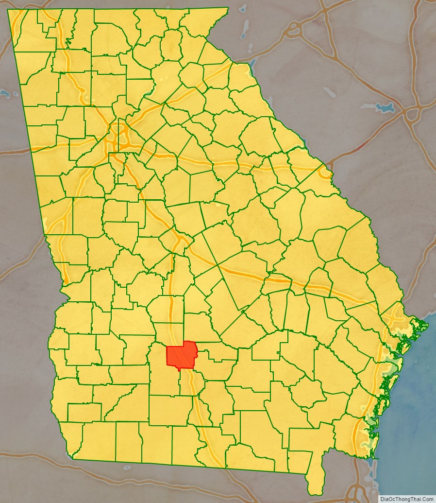
Turner County is a county located in the south central portion of the U.S. state of Georgia. As of the 2020 census, the population was 9,006. The county seat is Ashburn. The county was created on August 18, 1905, and named for Henry Gray Turner, U.S. representative and Georgia state Supreme Court justice.
| Name: | Turner County |
|---|---|
| FIPS code: | 13-287 |
| State: | Georgia |
| Founded: | 1905 |
| Named for: | Henry Gray Turner |
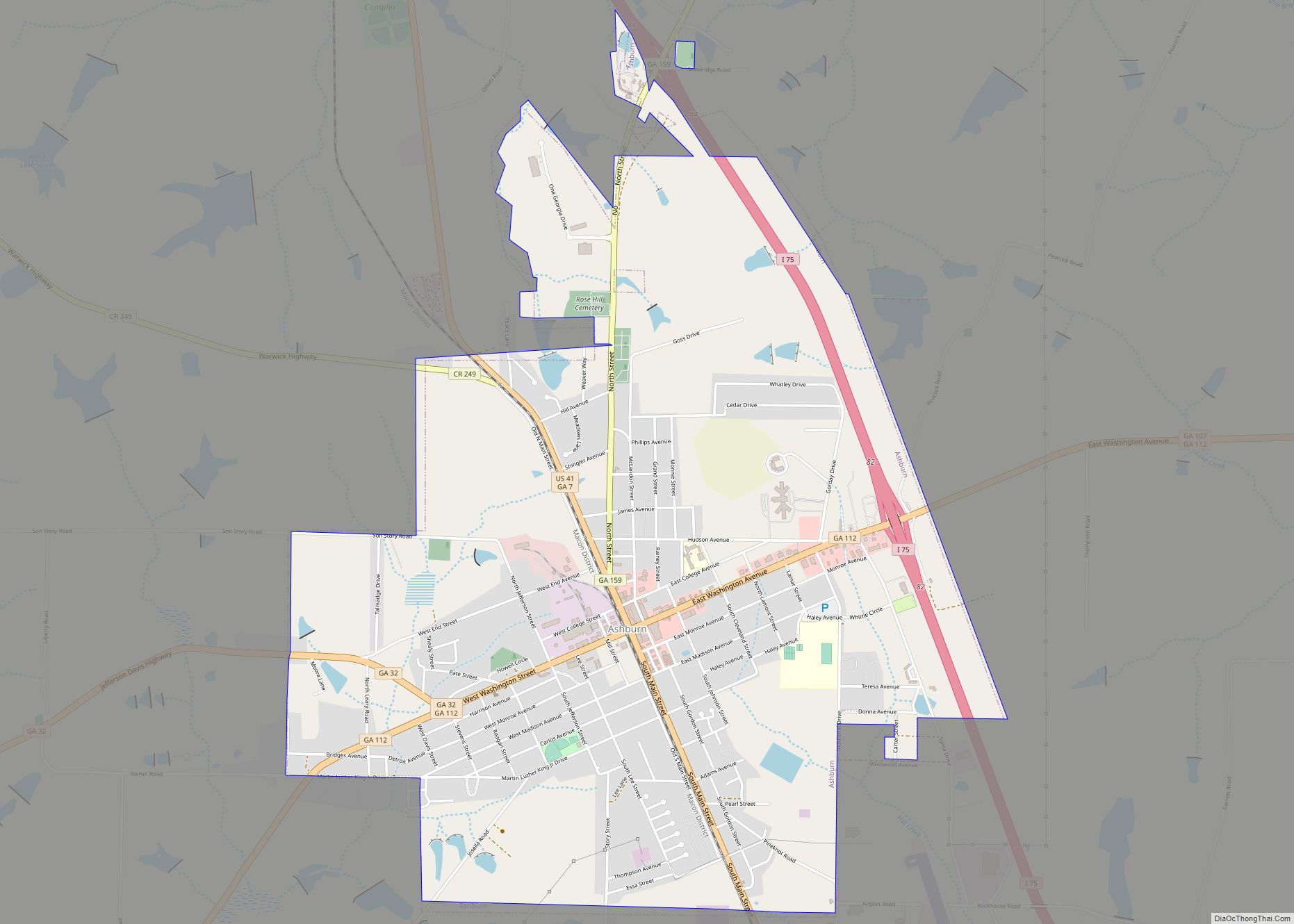
| Seat: | Ashburn |
| Largest city: | Ashburn |
| Total Area: | 290 sq mi (800 km²) |
| Land Area: | 285 sq mi (740 km²) |
| Total Population: | 9,006 |
| Population Density: | 31/sq mi (12/km²) |
| Time zone: | UTC−5 (Eastern) |
| Summer Time Zone (DST): | UTC−4 (EDT) |
| Website: | www.turnercountygeorgia.com |
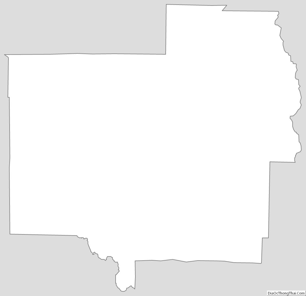
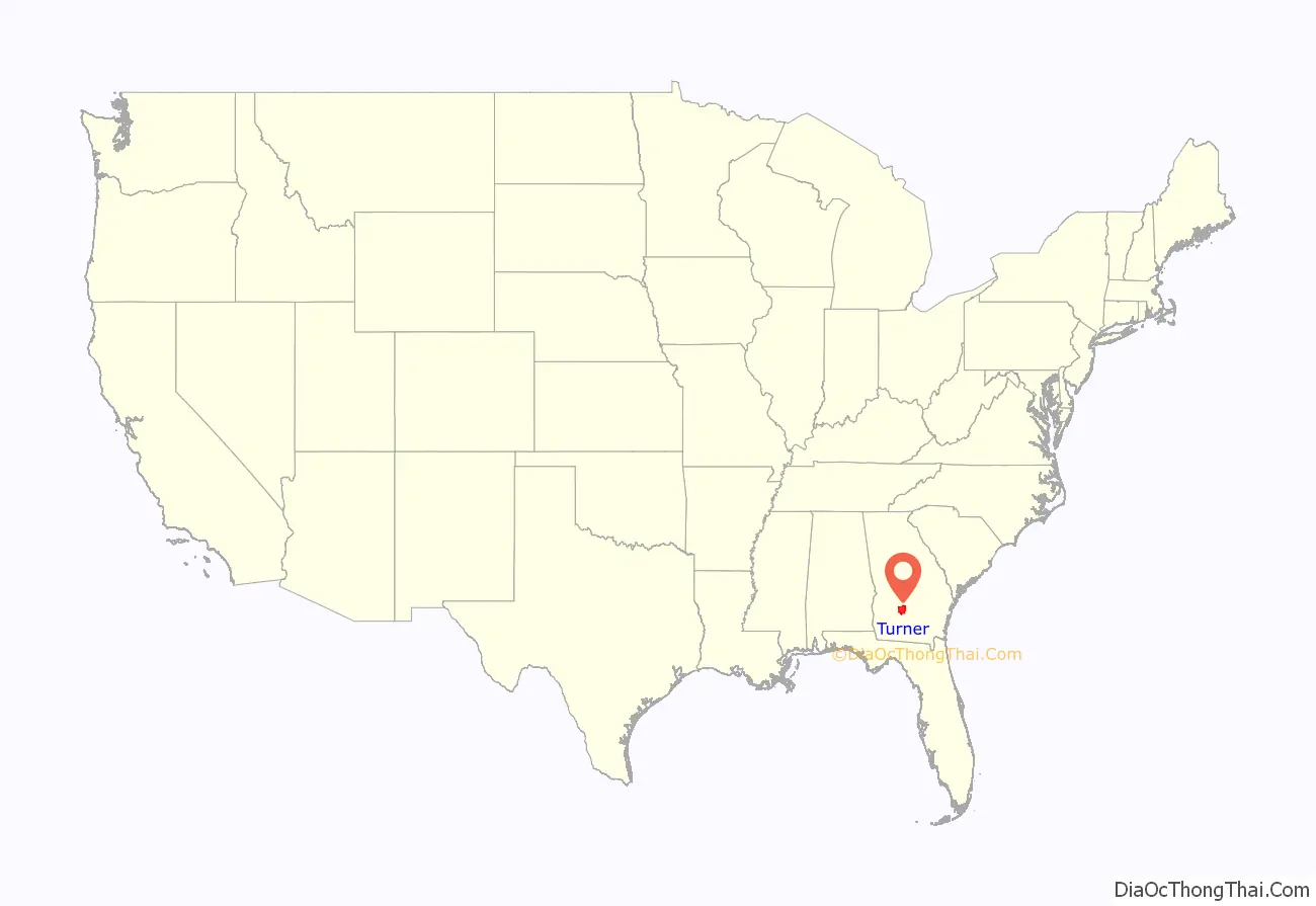
Turner County location map. Where is Turner County?
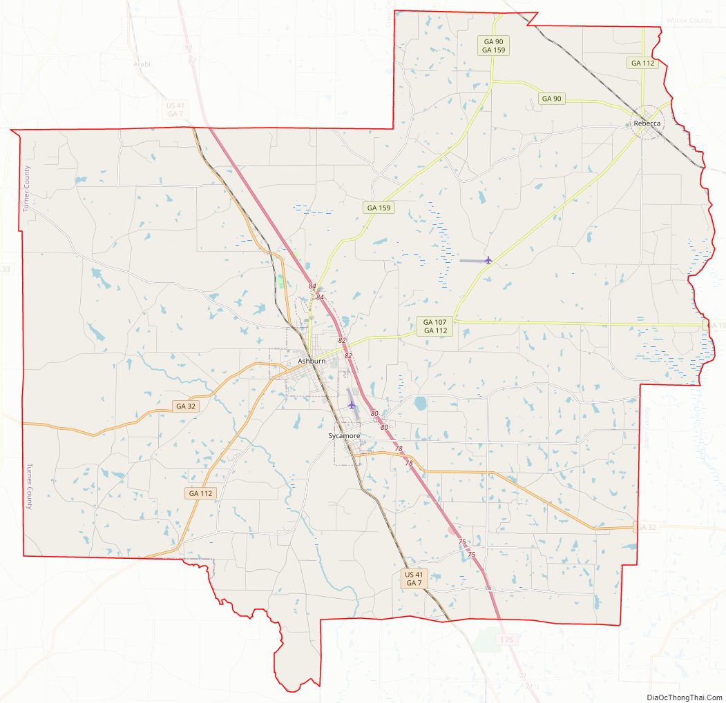
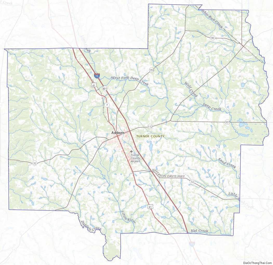
Turner County Road Map
Geography
According to the U.S. Census Bureau, the county has a total area of 290 square miles (750 km), of which 285 square miles (740 km) is land and 4.6 square miles (12 km) (1.6%) is water.
The eastern two-thirds of Turner County, from just west of Interstate 75 heading east, are located in the Alapaha River sub-basin of the Suwannee River basin. The southern and western portion of the county are located in the Little River sub-basin of the same Suwannee River basin. The entire western edge of Turner County is located in the Middle Flint River sub-basin of the ACF River Basin (Apalachicola-Chattahoochee-Flint River Basin).
Major highways
- Interstate 75
- U.S. Route 41
- State Route 7
- State Route 32
- State Route 32 Connector
- State Route 90
- State Route 107
- State Route 112
- State Route 159
- State Route 401 (unsigned designation for I-75)
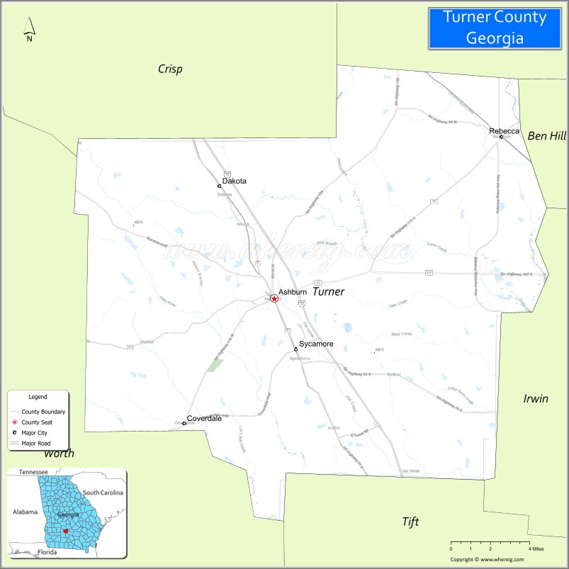
Adjacent counties
- Wilcox County (northeast)
- Ben Hill County (east)
- Irwin County (east)
- Tift County (southeast)
- Worth County (southwest)
- Crisp County (northwest)
Turner County Topographic Map
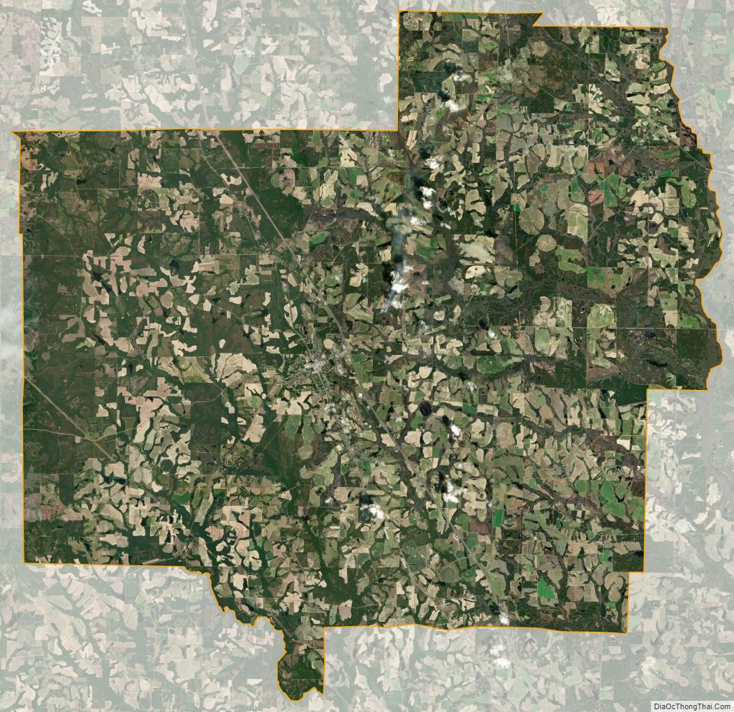
Turner County Satellite Map
Turner County Outline Map