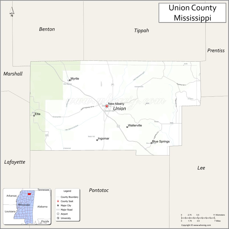
Union County is a county located in the U.S. state of Mississippi. As of the 2020 census, the population was 27,777. Its county seat is New Albany. According to most sources, the county received its name by being a union of pieces of several large counties, like other Union counties in other states. However, other sources say that the name was meant to mark the re-union of Mississippi and the other Confederate states after the Civil War (at the time, the state had a Republican government under Reconstruction).
| Name: | Union County |
|---|---|
| FIPS code: | 28-145 |
| State: | Mississippi |
| Founded: | July 7, 1870 |
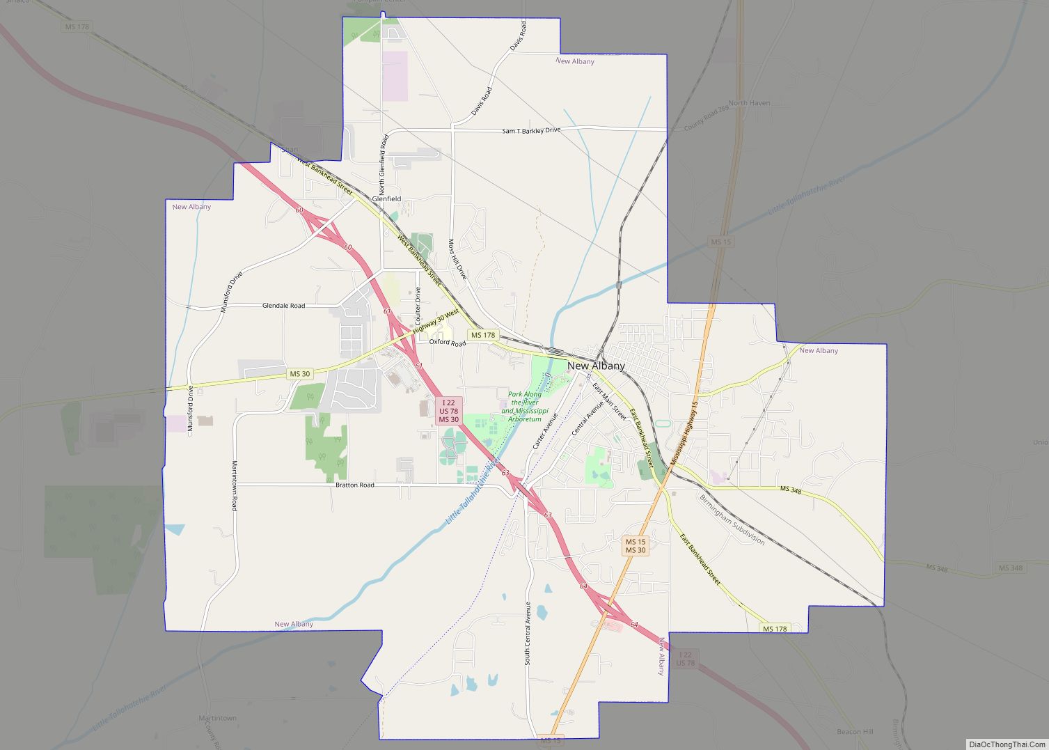
| Seat: | New Albany |
| Largest city: | New Albany |
| Total Area: | 417 sq mi (1,080 km²) |
| Land Area: | 416 sq mi (1,080 km²) |
| Total Population: | 27,777 |
| Population Density: | 67/sq mi (26/km²) |
| Time zone: | UTC−6 (Central) |
| Summer Time Zone (DST): | UTC−5 (CDT) |
| Website: | unioncoms.com |
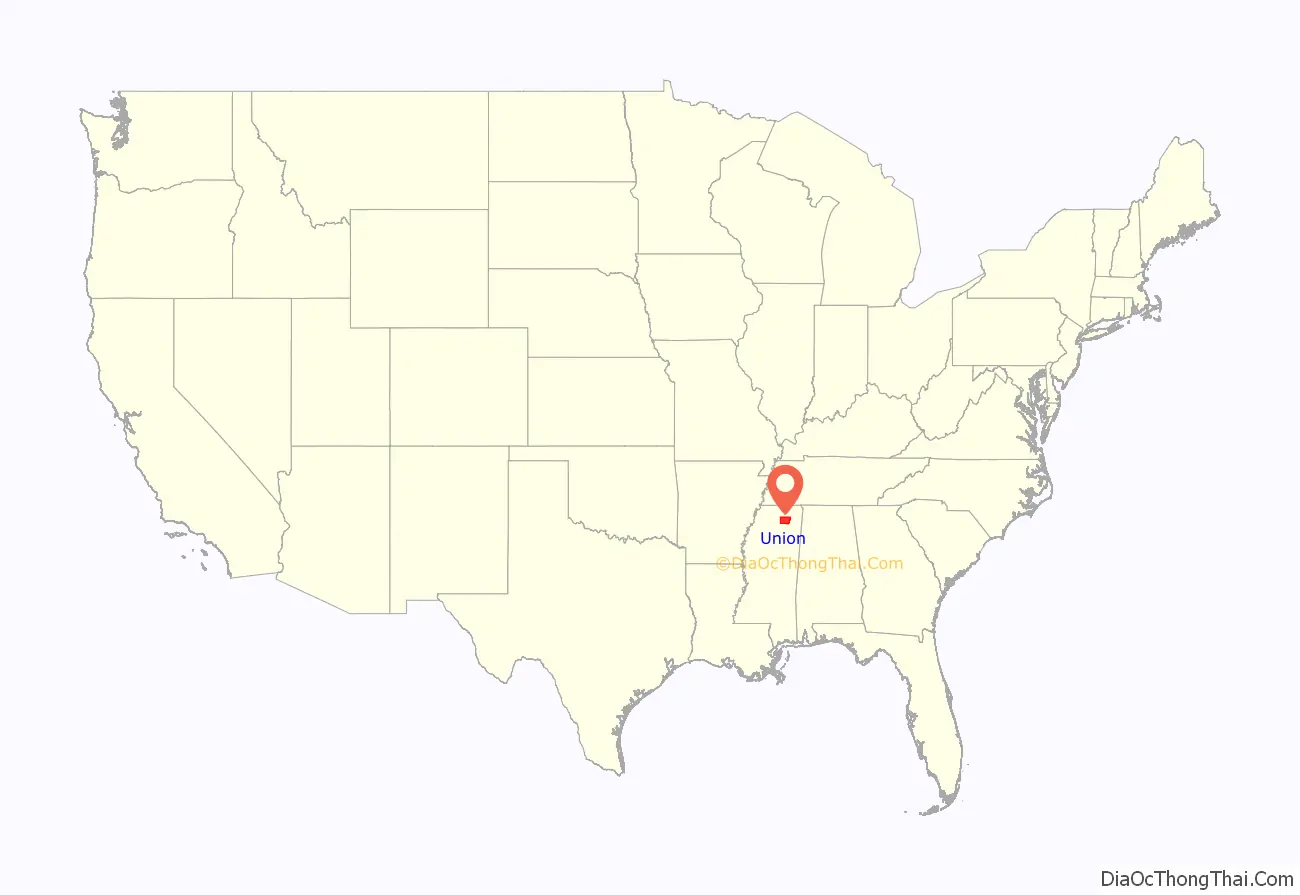
Union County location map. Where is Union County?
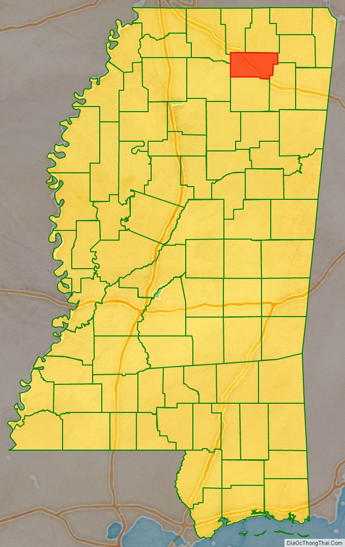
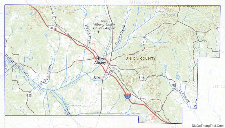
Union County Road Map
Geography
According to the U.S. Census Bureau, the county has a total area of 417 square miles (1,080 km), of which 416 square miles (1,080 km) is land and 1.3 square miles (3.4 km) (0.3%) is water.
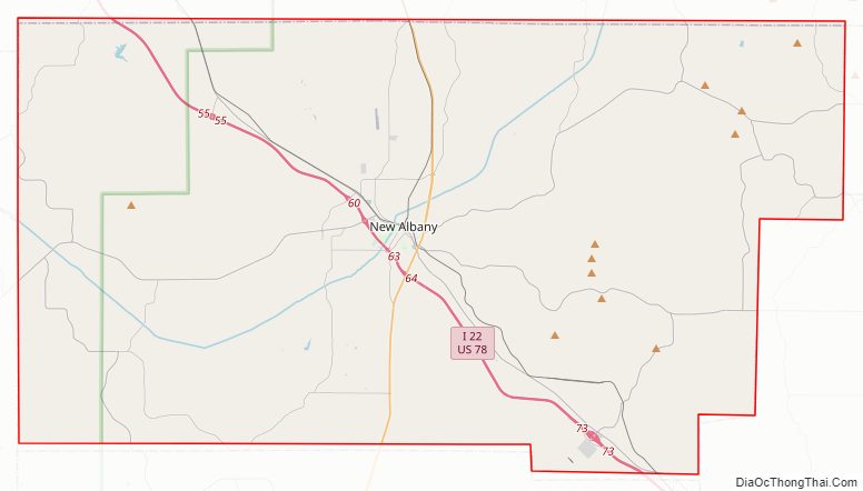
Major highways
- Interstate 22
- U.S. Route 78
- Mississippi Highway 9
- Mississippi Highway 15
- Mississippi Highway 30
- Mississippi Highway 178
- Mississippi Highway 348
- Mississippi Highway 349
- Mississippi Highway 355
Adjacent counties
- Benton County (north)
- Tippah County (north)
- Prentiss County (east)
- Lee County (southeast)
- Pontotoc County (south)
- Lafayette County (southwest)
- Marshall County (northwest)
National protected area
- Holly Springs National Forest (part)
Union County Topographic Map
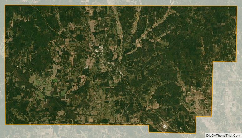
Union County Satellite Map
Union County Outline Map