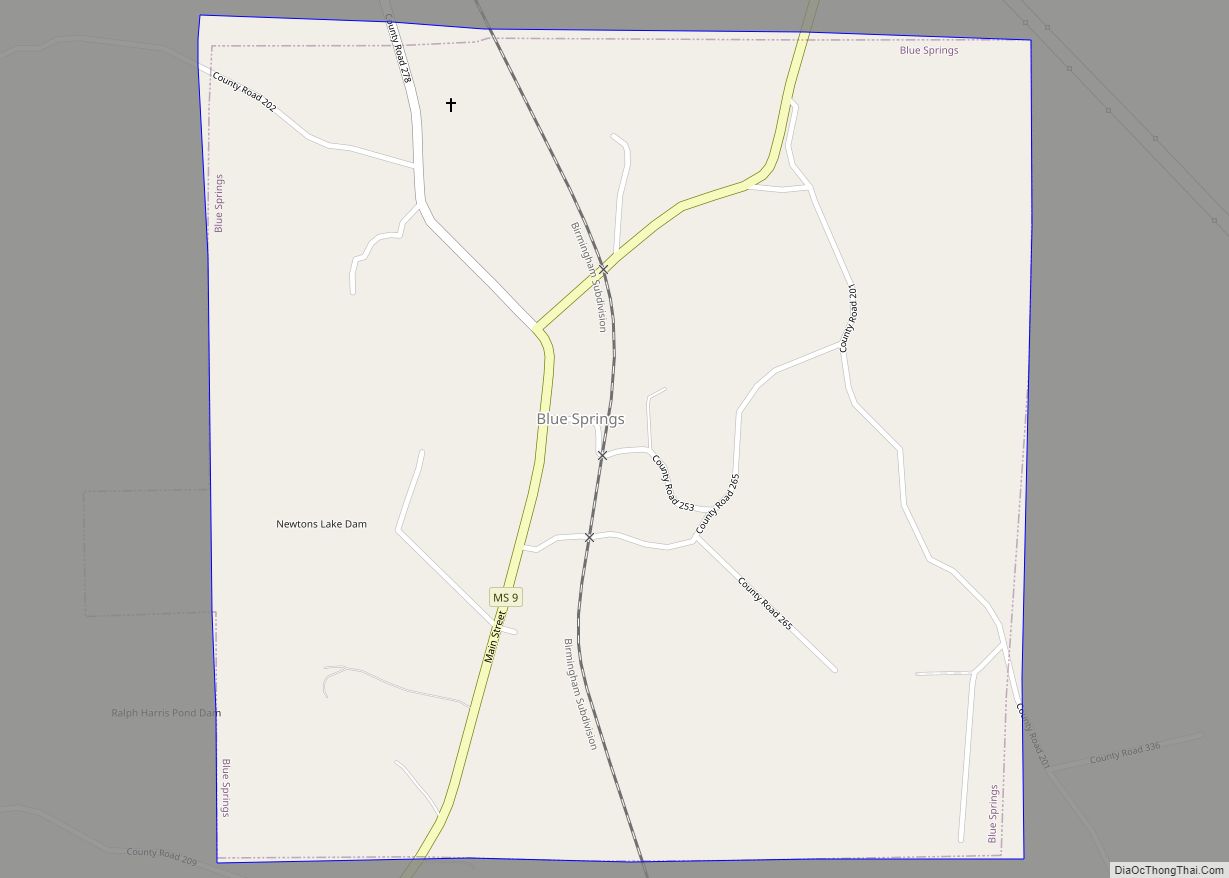
Blue Springs is a village in Union County, Mississippi, United States. Located near Tupelo in northeastern Mississippi, the village had a population of 144 at the 2000 census. It is the site of Toyota Motor Manufacturing Mississippi, Toyota’s eighth North American vehicle assembly plant.
| Name: | Blue Springs village |
|---|---|
| LSAD Code: | 47 |
| LSAD Description: | village (suffix) |
| State: | Mississippi |
| County: | Union County |
| Elevation: | 404 ft (123 m) |
| Total Area: | 4.50 sq mi (11.66 km²) |
| Land Area: | 4.48 sq mi (11.59 km²) |
| Water Area: | 0.03 sq mi (0.06 km²) |
| Total Population: | 436 |
| Population Density: | 97.41/sq mi (37.61/km²) |
| ZIP code: | 38828 |
| Area code: | 662 |
| FIPS code: | 2807100 |
| GNISfeature ID: | 0667322 |
| Website: | http://bluespringsms.com/ |
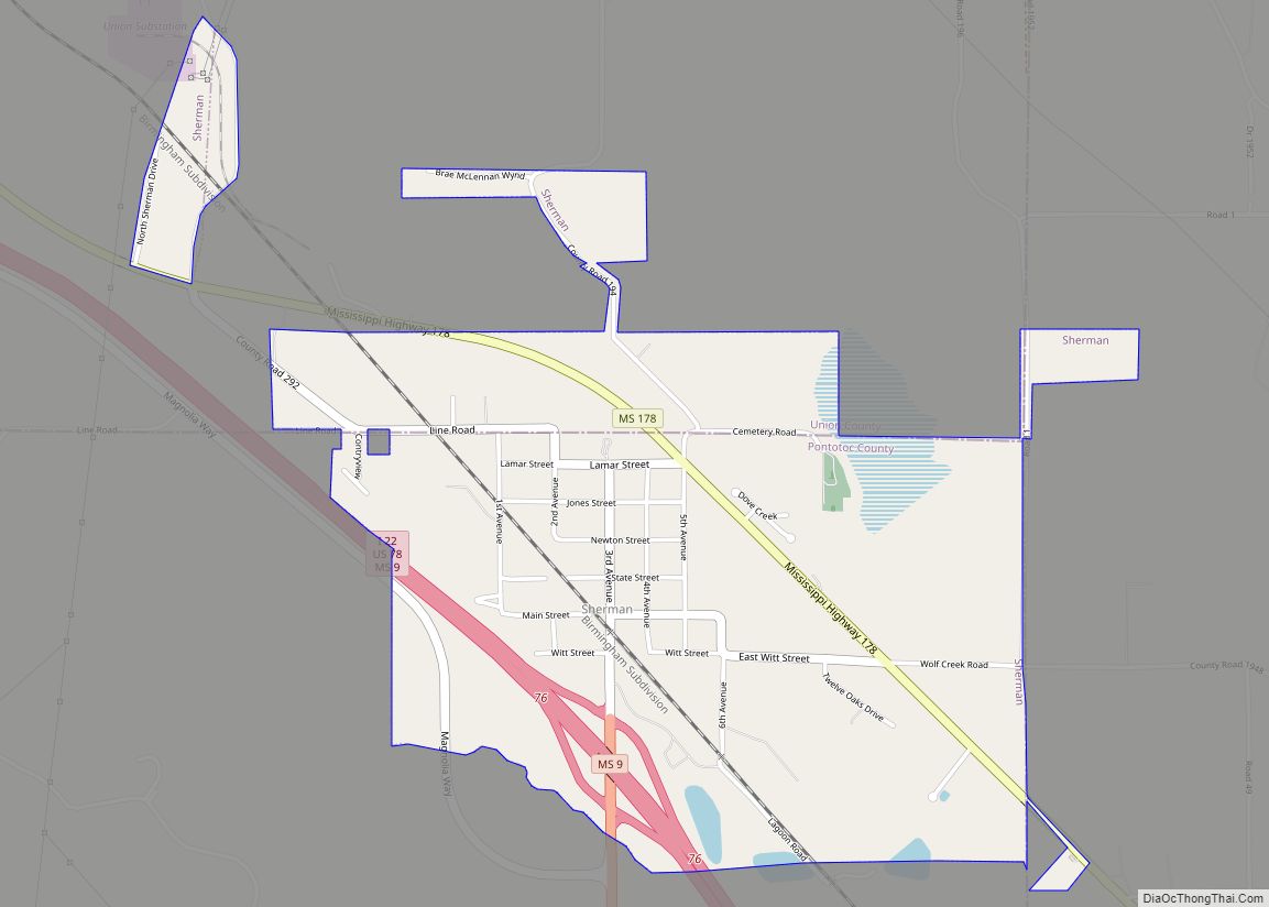
Online Interactive Map
Click on ![]() to view map in "full screen" mode.
to view map in "full screen" mode.
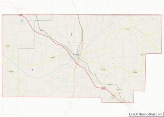
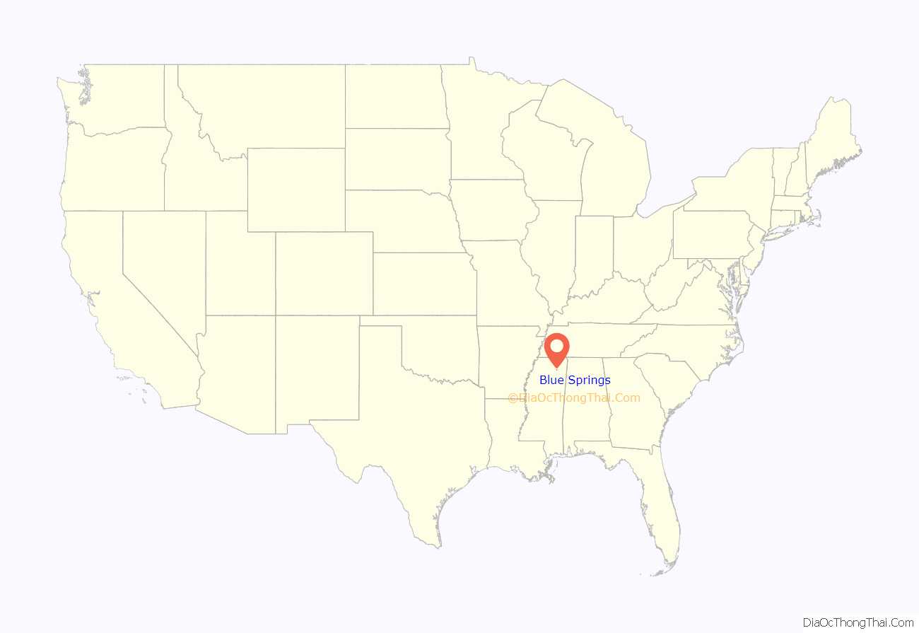
Blue Springs location map. Where is Blue Springs village?

History
Blue Springs was established in 1888 as a stop along the Kansas City, Memphis and Birmingham Railroad. Many of the first residents were from the older nearby community of Ellistown, which had been bypassed by the railroad.
Blue Springs Road Map

Blue Springs city Satellite Map

Geography
Blue Springs is located at 34°24′11″N 88°52′22″W / 34.402978°N 88.872890°W / 34.402978; -88.872890. The village lies along Mississippi Highway 9 northwest of Tupelo. The town of Sherman lies just to the southeast. Interstate 22 and Mississippi Highway 178 pass southwest of Blue Springs, connecting the area with Tupelo to the southeast and New Albany to the northwest.
According to the United States Census Bureau, the village has a total area of 1.0 square mile (2.6 km), all land.
See also
Map of Mississippi State and its subdivision:- Adams
- Alcorn
- Amite
- Attala
- Benton
- Bolivar
- Calhoun
- Carroll
- Chickasaw
- Choctaw
- Claiborne
- Clarke
- Clay
- Coahoma
- Copiah
- Covington
- Desoto
- Forrest
- Franklin
- George
- Greene
- Grenada
- Hancock
- Harrison
- Hinds
- Holmes
- Humphreys
- Issaquena
- Itawamba
- Jackson
- Jasper
- Jefferson
- Jefferson Davis
- Jones
- Kemper
- Lafayette
- Lamar
- Lauderdale
- Lawrence
- Leake
- Lee
- Leflore
- Lincoln
- Lowndes
- Madison
- Marion
- Marshall
- Monroe
- Montgomery
- Neshoba
- Newton
- Noxubee
- Oktibbeha
- Panola
- Pearl River
- Perry
- Pike
- Pontotoc
- Prentiss
- Quitman
- Rankin
- Scott
- Sharkey
- Simpson
- Smith
- Stone
- Sunflower
- Tallahatchie
- Tate
- Tippah
- Tishomingo
- Tunica
- Union
- Walthall
- Warren
- Washington
- Wayne
- Webster
- Wilkinson
- Winston
- Yalobusha
- Yazoo
- Alabama
- Alaska
- Arizona
- Arkansas
- California
- Colorado
- Connecticut
- Delaware
- District of Columbia
- Florida
- Georgia
- Hawaii
- Idaho
- Illinois
- Indiana
- Iowa
- Kansas
- Kentucky
- Louisiana
- Maine
- Maryland
- Massachusetts
- Michigan
- Minnesota
- Mississippi
- Missouri
- Montana
- Nebraska
- Nevada
- New Hampshire
- New Jersey
- New Mexico
- New York
- North Carolina
- North Dakota
- Ohio
- Oklahoma
- Oregon
- Pennsylvania
- Rhode Island
- South Carolina
- South Dakota
- Tennessee
- Texas
- Utah
- Vermont
- Virginia
- Washington
- West Virginia
- Wisconsin
- Wyoming